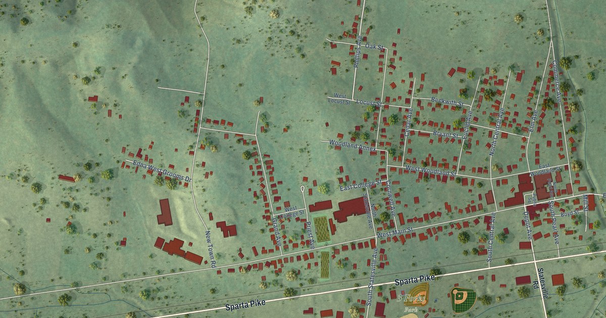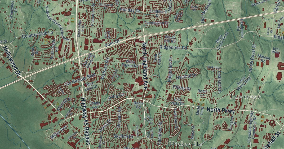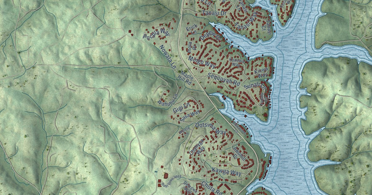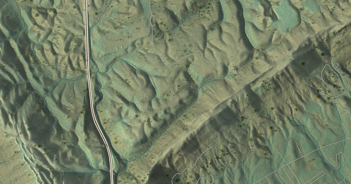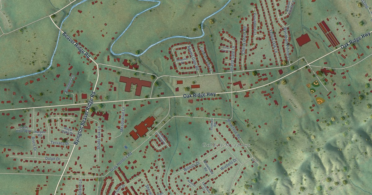
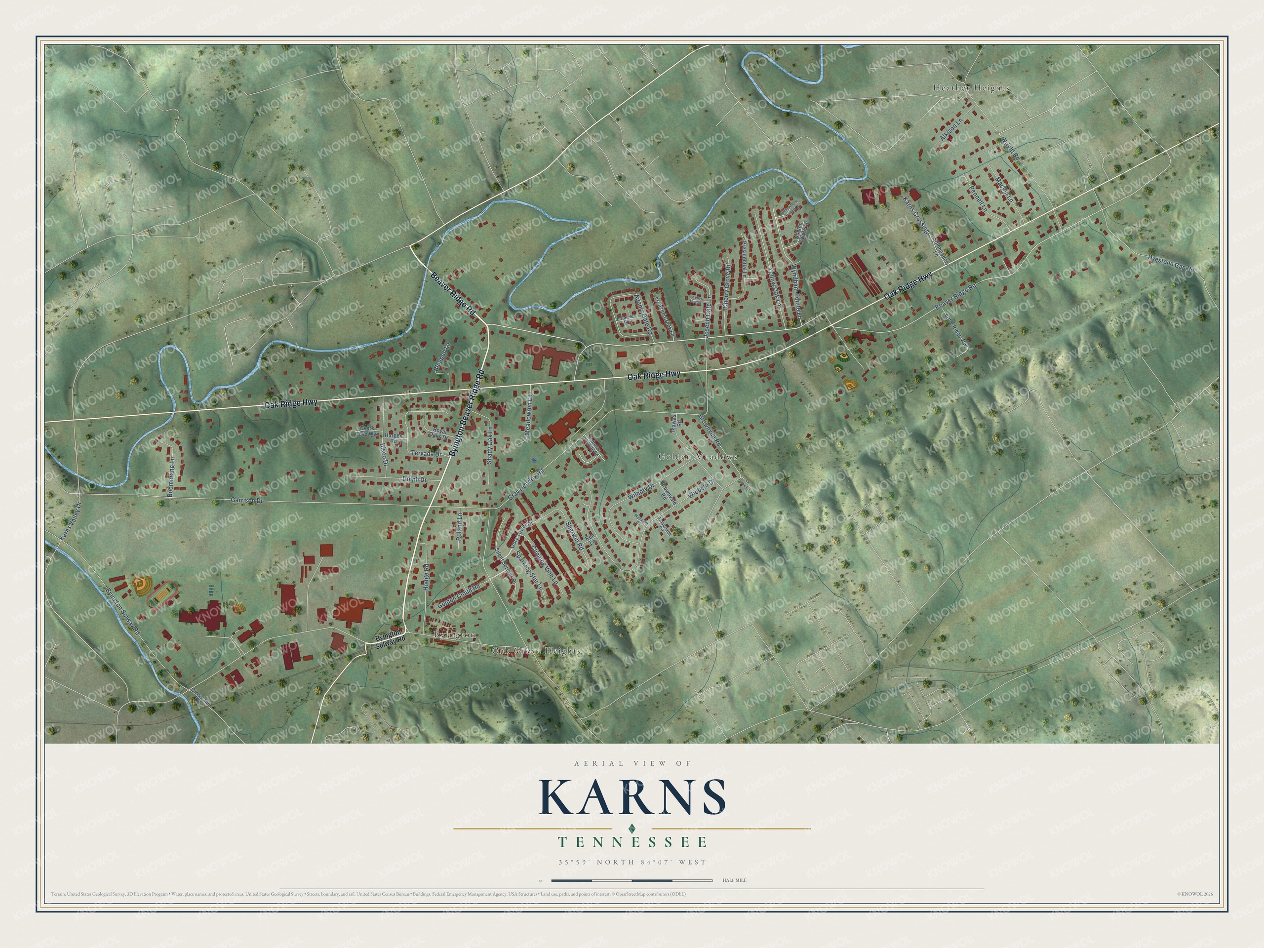
This beautifully detailed map of Karns, Tennessee was created in 2026 using aerial imagery combined with modern topographical, census, street and landmark data. It's a modern aerial view of Karns in Knox County, Tennessee, that combines modern data with a vintage aesthetic. The roads feature printed names, and if you look closely you can find your exact house accurately shown in its correct location.
Explore an aerial view of Karns, Tennessee
On this map you'll find Byington, Golden Meadows, Heather Heights, Oak Grove Heights, Byington Beaver Ridge Road, Beaver Ridge Road, Oak Ridge Highway, Byington Solway Road, Gray Hendrix Road, Garrison Drive, Wiebelo Drive, Wyndham Pointe Lane, and more. Each red shape is a building, so zoom in on the preview and look for yours.
Every town has a first chapter, and Karns is no exception. The Knox Focus puts it this way: "Karns is named for the first superintendent of public schools in the county, Professor Thomas Conner Karns. Ball Camp is named for an early long hunter Nicholas Ball, who camped there."
Karns is a community in Knox County. The Census Bureau counted 3,536 people here in 2020.
Take a closer look at the Karns map
Names on this map
These names are printed on this map.
Places: Byington, Golden Meadows, Heather Heights and Oak Grove Heights.
Streets and roads: Byington Beaver Ridge Road, Beaver Ridge Road, Oak Ridge Highway, Byington Solway Road, Gray Hendrix Road, Garrison Drive, Wiebelo Drive, Wyndham Pointe Lane, Wright Road, Wilnoty Drive, Brownvue Road, Adams Gate Road.
More street names, A to Z
Alkison Lane, Andrews Crossing Road, Ashton Pointe Lane, Bisco Drive, Bluebell Lane, Boomerang Lane, Brownvale Road, Cherry Grove Road, Clinging Vine Lane, Crosslane Road, Dolph Drive, Dyers Cove Way, Dyestone Gap Road, Franklin Creek Lane, Golden Cloud Road, Harpen Road, Hodge Road, Ivory Tower Drive, Jerbeeler Drive, Joseph Gate Lane, Karns Crossing, Karns Valley Drive, Kellys Cove Lane, Ken Lane, La Farve Lane, Little Ridge Way, Mackin Lane, Meadowrun Lane, Pennell Lane, Presidential Lane, Roland Lane, Royal Oaks Drive, Shady Oak Lane, Sherwin Road, Silent Springs Drive, Sparking Star Lane, Stillmeadow Lane, Tamerlane Circle, Tervada Drive, Tsawasi Road, Willowcreek Pointe Lane, Wynmoor Circle, Yellow Oak Lane.
Created by KNOWOL in 2026. The buildings are small red shapes, the roads carry their printed names, and shaded relief shows the shape of the land. The title panel reads "AERIAL VIEW OF KARNS TENNESSEE" with 35°59' NORTH 84°07' WEST.
Hang it in the hallway, the office or the cabin, or give it to someone who left Karns and still calls it home. Open the preview and look for a street you know. See sizes and frames for the Karns map.