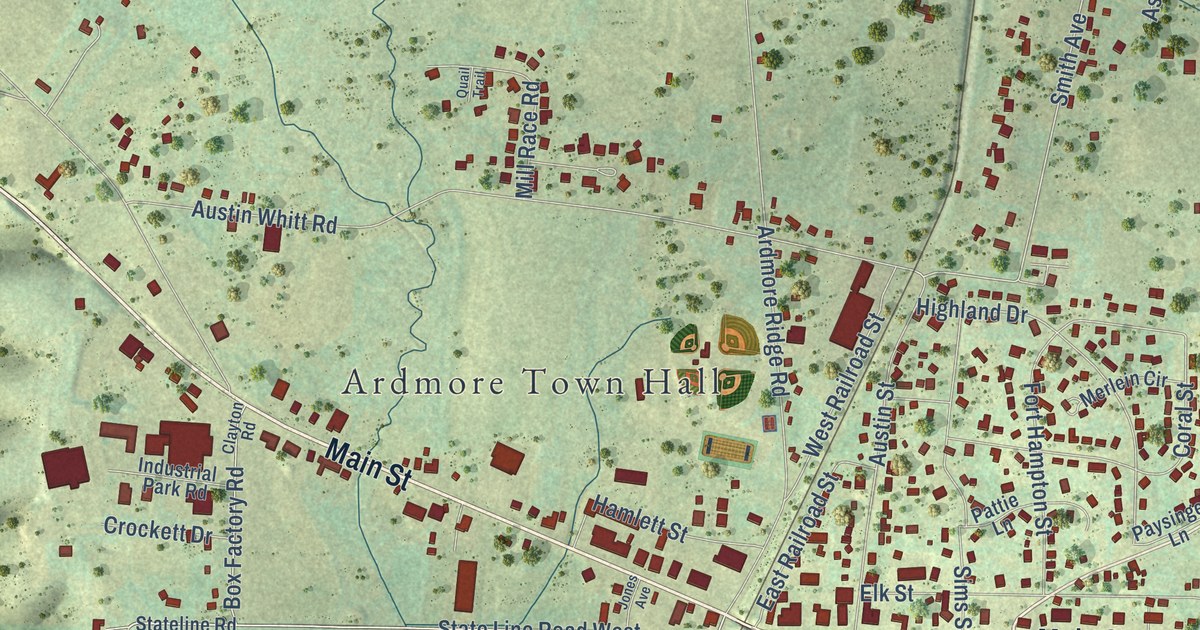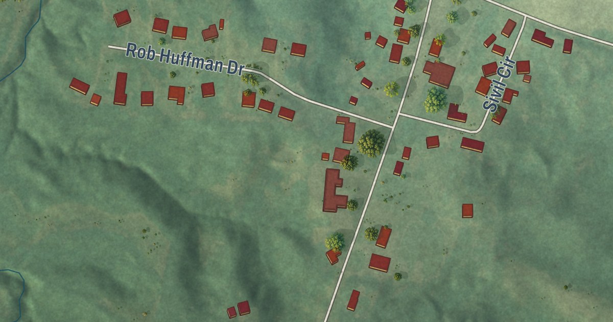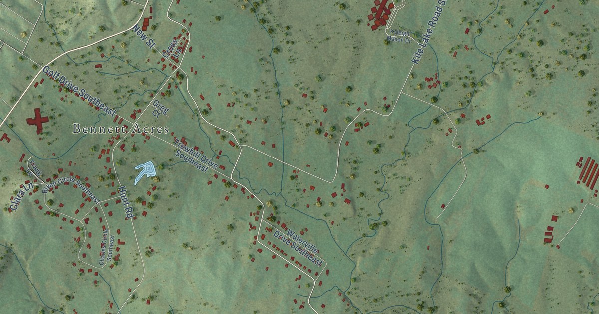
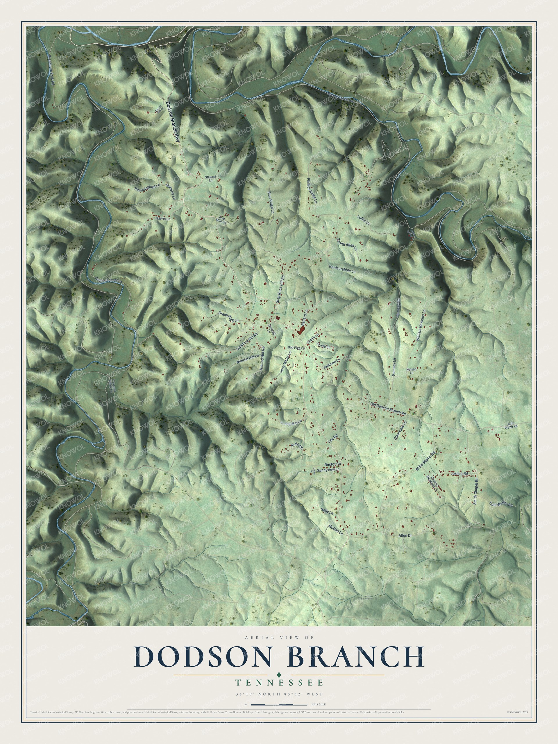
This beautifully detailed map of Dodson Branch, Tennessee was created in 2026 using aerial imagery combined with modern topographical, census, street and landmark data. It’s a one-of-a-kind view of Dodson Branch that combines accurate data with a vintage aesthetic. The map shows every building in its true location, many of the roads carry their names, and the shaded topographic relief shows the shape of the land.
Explore an aerial view of Dodson Branch, Tennessee
On the map you’ll find Dodson Branch Highway, Old Dodson Branch Road, Spring Creek Road, Step Rock Hill Road, Lankford Hill Road, Willis Martin Road, Smith Chapel Road, Allen Drive, Gentry School Lane, William Hawkins Lane, Phillips Ridge Lane, Blue Ridge Lane, and more. If you look closely you can even find your house accurately drawn in its correct location. Zoom in on the preview to look for yours.
Did you know this piece of Dodson Branch, Tennessee history?
From the Jackson County Schools: "Dodson Branch School was built in 1954 and operated as a four-room schoolhouse for many years until growth facilitated the need for portable buildings to house classrooms."
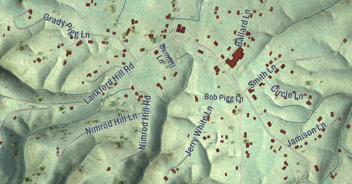
Take a closer look at the Dodson Branch map
Street names on the Dodson Branch, Tennessee map
These names are printed on the map of Dodson Branch, Tennessee.
Streets and roads: Dodson Branch Highway, Old Dodson Branch Road, Spring Creek Road, Step Rock Hill Road, Lankford Hill Road, Willis Martin Road, Smith Chapel Road, Allen Drive, Gentry School Lane, William Hawkins Lane, Phillips Ridge Lane, Blue Ridge Lane.
More street names, A to Z
Ballard Lane, Bennett Lane, Blackburn Fork Road, Bob Pigg Lane, Circle Lane, Clearview Lane, Country Meadows Lane, Daniel Hill Lane, East Warren Road, Five Mile Lane, Grady Pigg Lane, Hardscrabble Lane, Harris Lane, Hidden Springs Lane, Holly Lane, Hummingbird Lane, Jamison Lane, Jerry White Lane, John Webb Road, Joshua Road, Kello Road, Lee Road, Loftis Lane, Maberry Lane, McGee Lane, Nelson Lane, Nimrod Hill Lane, Nimrod Hill Road, Oreilly Lane, Peaceful Valley Lane, Ramsey Lane, Ramsey Road, Rector Circle, Smith Lane, Stewart Lane, Sunnyview Lane, Young Mill Lane, Zenith Allen Lane.
See the Dodson Branch, Tennessee map on a wall
The Dodson Branch map as an 18 x 24 inch print in a black frame.

This beautifully detailed map of Dodson Branch makes an attractive addition to your office, library, or den, and it can even be used to teach children the geography and history of the area. It also makes a great gift for anyone with Dodson Branch roots. When you’re done exploring, click here to get your copy of the Dodson Branch map.