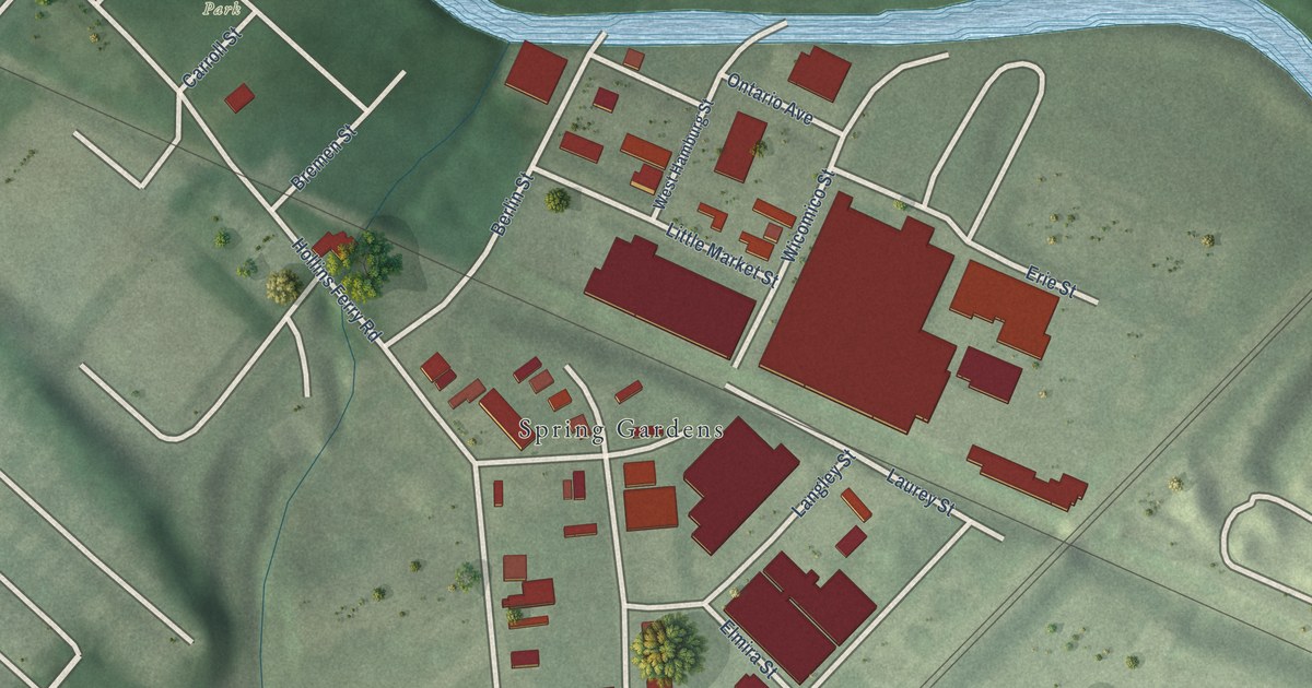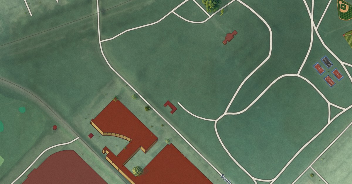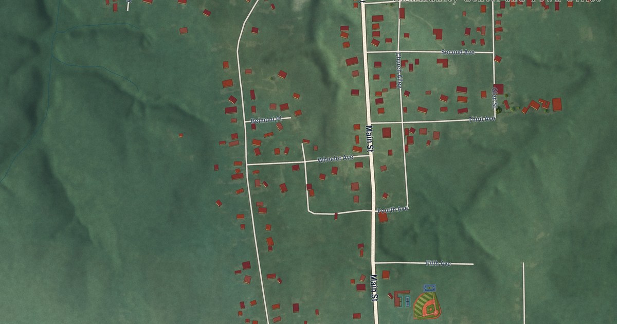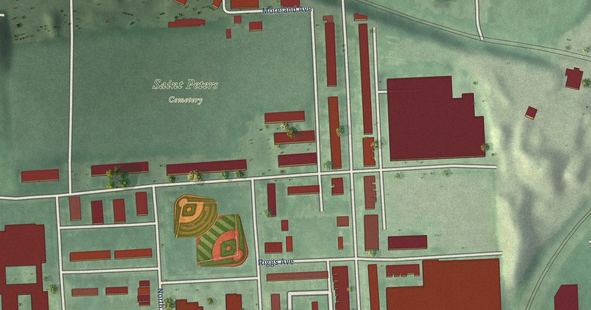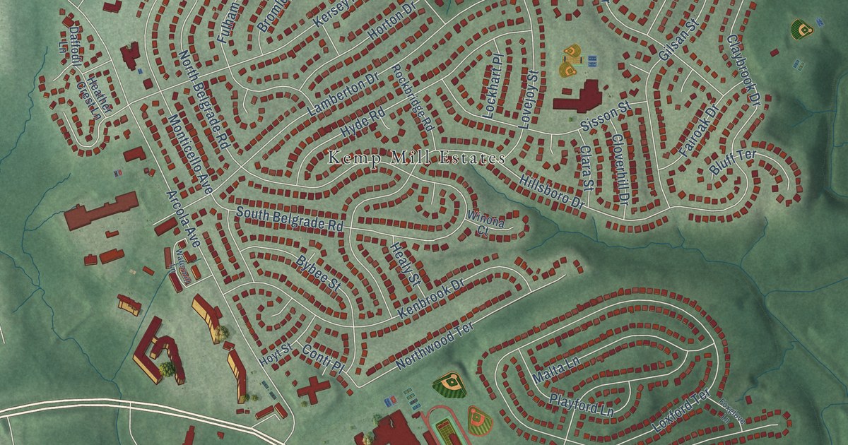
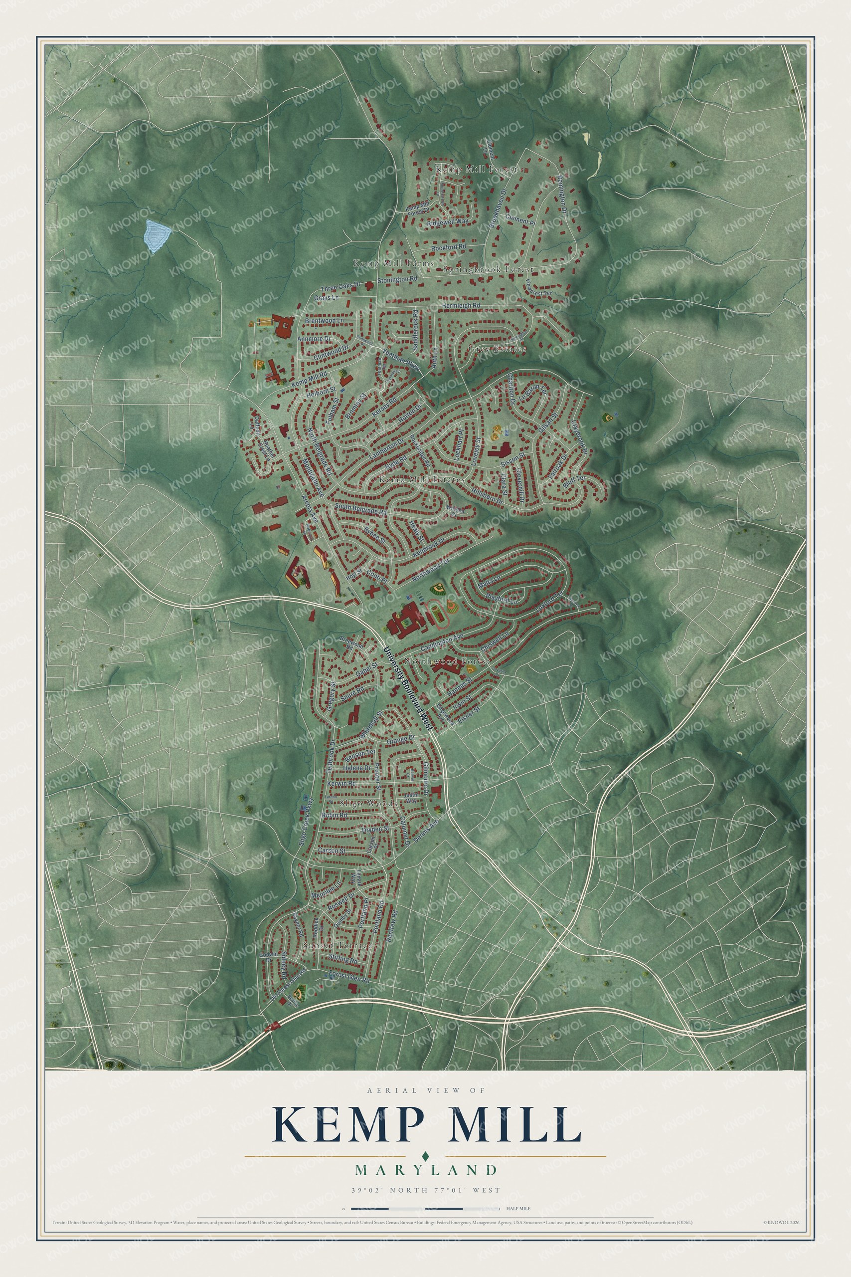
This beautifully detailed map of Kemp Mill, Maryland was created in 2026 using aerial imagery combined with modern topographical, census, street and landmark data. It's a modern aerial view of Kemp Mill in Montgomery County, Maryland, that combines modern data with a vintage aesthetic. The roads feature printed names, and if you look closely you can find your exact house accurately shown in its correct location.
Explore an aerial view of Kemp Mill, Maryland
On this map you'll find Grey Estates, Kemp Mill Estates, Kemp Mill Farms, Kemp Mill Forest, Northwood Forest, Sligo Woods, Springbrook Forest, Sunset Terrace, University Boulevard West, Bromley Street, Yeatman Parkway, Sligo Creek Parkway, and more. Each red shape is a building, so zoom in on the preview and look for yours.
Here is a piece of Kemp Mill history, in the words of the record. The Montgomery County Planning Department puts it this way: "Kemp Mill, or Kemp's Mill, was located where the Northwest Branch crossed Randolph Road, otherwise known as Old Annapolis Road. Kemp Mill, built in the mid-nineteenth century, was used for lumber and grist until it ceased operation in the 1920s."
Kemp Mill is a community in Montgomery County.
Take a closer look at the Kemp Mill map
Names on this map
These names are printed on this map.
Places: Grey Estates, Kemp Mill Estates, Kemp Mill Farms, Kemp Mill Forest, Northwood Forest, Sligo Woods, Springbrook Forest and Sunset Terrace.
Streets and roads: University Boulevard West, Bromley Street, Yeatman Parkway, Sligo Creek Parkway, Kemp Mill Road, Tenbrook Drive, Lamberton Drive, Hillsboro Drive, Loxford Terrace, Arcola Avenue, Stonington Road, Lovejoy Street.
More street names, A to Z
Annmore Drive, Auth Lane, Beattie Drive, Benson Terrace, Bluff Terrace, Breewood Road, Brentwood Lane, Brookhaven Drive, Bybee Street, Caddington Avenue, Calumet Drive, Carson Place, Carson Street, Cavalier Drive, Charlton Drive, Chiswell Lane, Clara Street, Claybrook Drive, Clement Lane, Clement Place, Clintwood Drive, Clintwood Place, Cloverhill Drive, Conti Place, Daffodil Lane, Dennis Avenue, Dryden Street, Edgewood Avenue, Eisner Street, Fairoak Drive, Forest Glen Road, Foxglove Lane, Fulham Street, Gabel Street, Gilmoure Drive, Gilsan Street, Godwin Drive, Grays Lane, Gregory Street, Hannes Street, Healy Street, Heather Crest Lane, Helena Drive, Hermleigh Road, Holborn Street, Horton Drive, Hoyt Street, Hyde Road, Irwin Street, Justin Way, Kemp Mill Forest Drive, Kenbrook Drive, Kersey Road, Kerwin Court, Kerwin Road, Lanark Way, Laredo Road, Le Baron Terrace, Lockhart Place, Malta Lane, Meurilee Lane, Monticello Avenue, North Belgrade Road, Northwood Terrace, Old Forest Glen Road, Orange Drive, Playford Lane, Portland Place, Portland Road, Procter Street, Quinby Street, Raynor Road, Reddick Drive, Remington Drive, Renfrew Road, Ridgewell Way, Robin Road, Rockbridge Road, Rockford Road, Roswell Drive, Saddlerock Road, Sidney Road, Sisson Street, Snure Road, Somersworth Drive, South Belgrade Road, Stirling Road, Stonington Place, Three Oaks Drive, Viewcrest Terrace, Watermill Lane, Whitehall Street, Winona Court, Yeatman Court, Yeatman Terrace.
Created by KNOWOL in 2026. The buildings are small red shapes, the roads carry their printed names, and shaded relief shows the shape of the land. The title panel reads "AERIAL VIEW OF KEMP MILL MARYLAND" with 39°02' NORTH 77°01' WEST.
It suits a den, a classroom or a front hall, and it makes a gift for anyone with Kemp Mill roots. Open the preview and find the block you know. See sizes and frames for the Kemp Mill map.