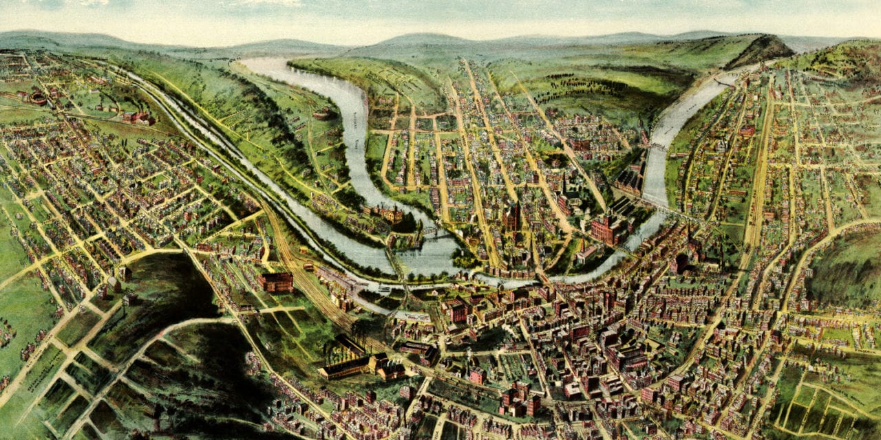
This map of Cumberland, Maryland was first published by Thaddeus Mortimer Fowler in 1906. T.M. Fowler (1842 – 1922) was an American cartographer who spent much of his life creating beautiful hand drawn maps of American towns.
To create this bird’s eye view of Cumberland, MD, Fowler would first create an outline of the streets and then walk around town filling in details such as buildings, trees, and landmarks to create an accurate rendering of the town.
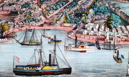
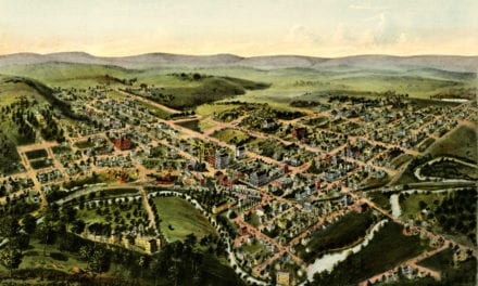
Click here to see Cumberland, Maryland in 1906.
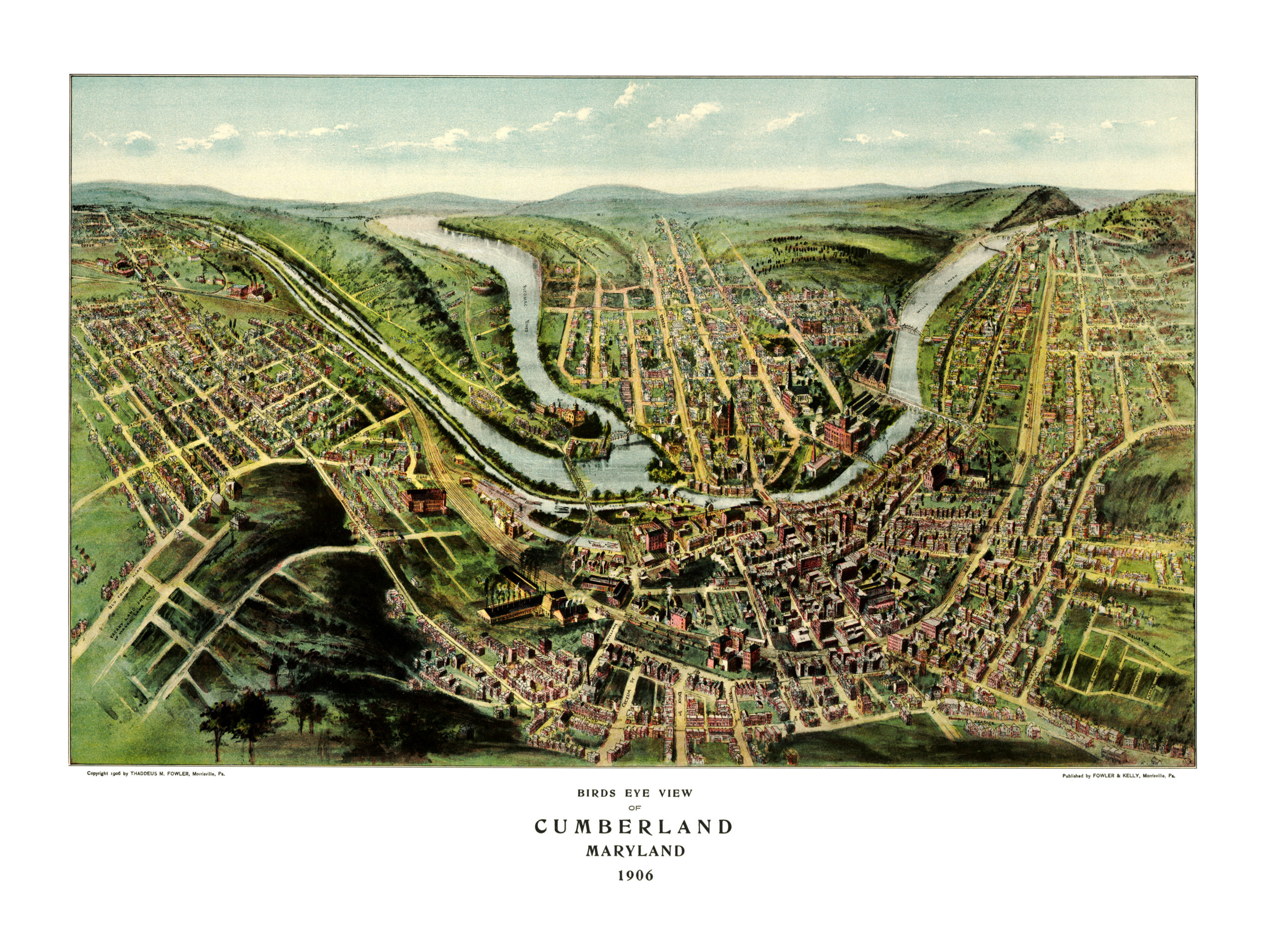
This map of Cumberland, Maryland has been lovingly restored by the team at KNOWOL. Reproductions of the restored map are available on museum quality, archival paper to ensure that this piece of Maryland history can be passed on to the next generation. Click here to get yours.