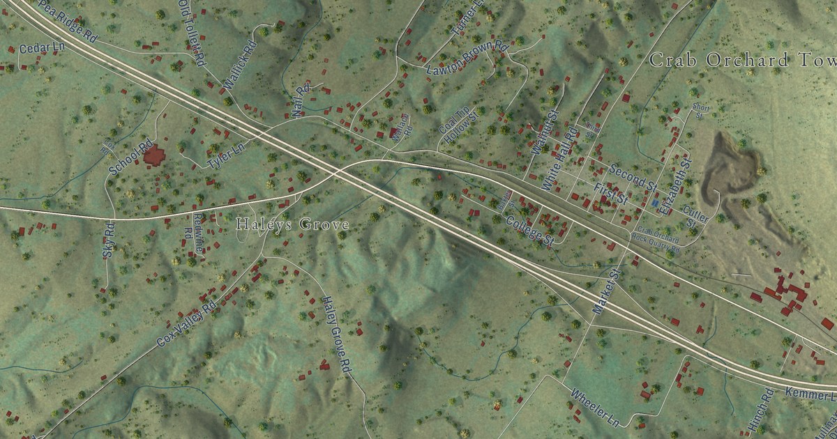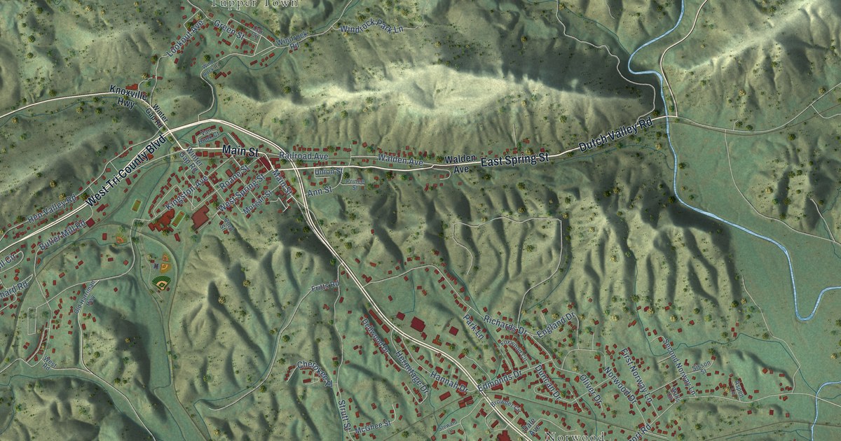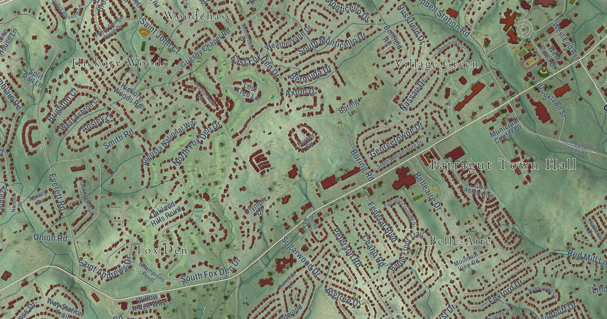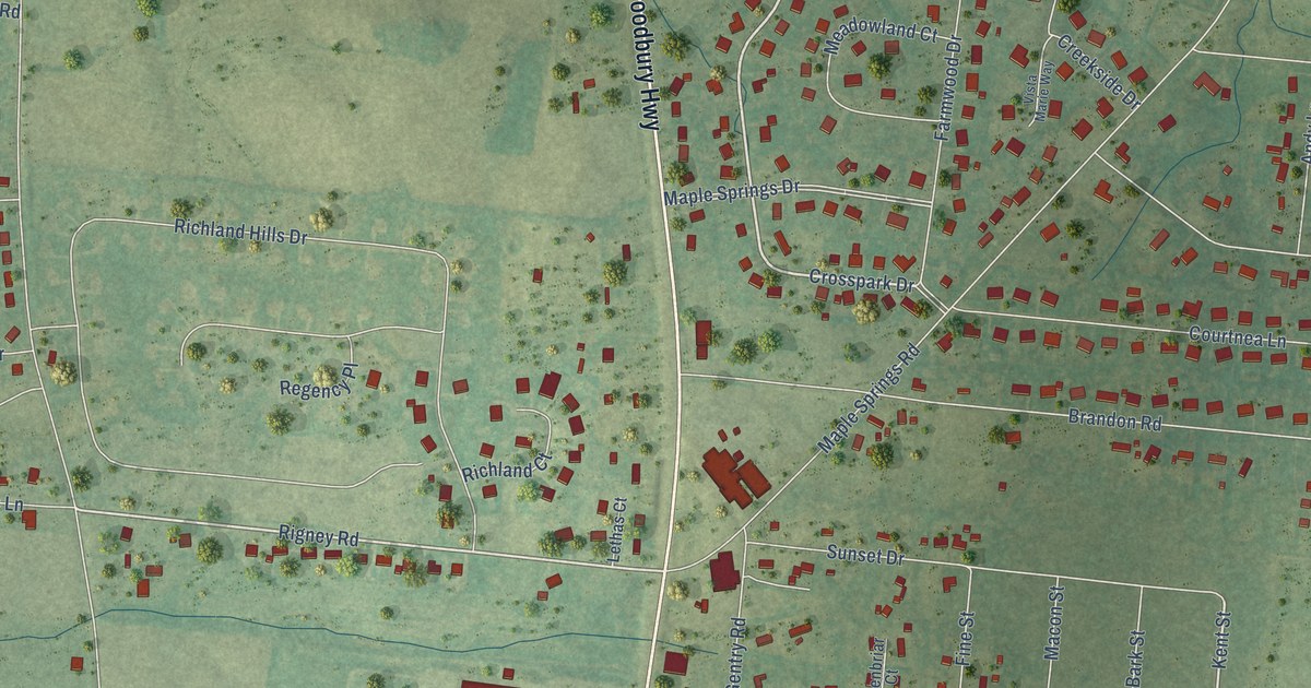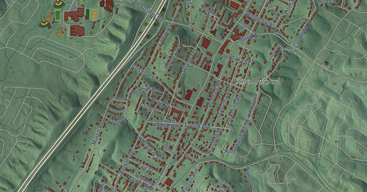
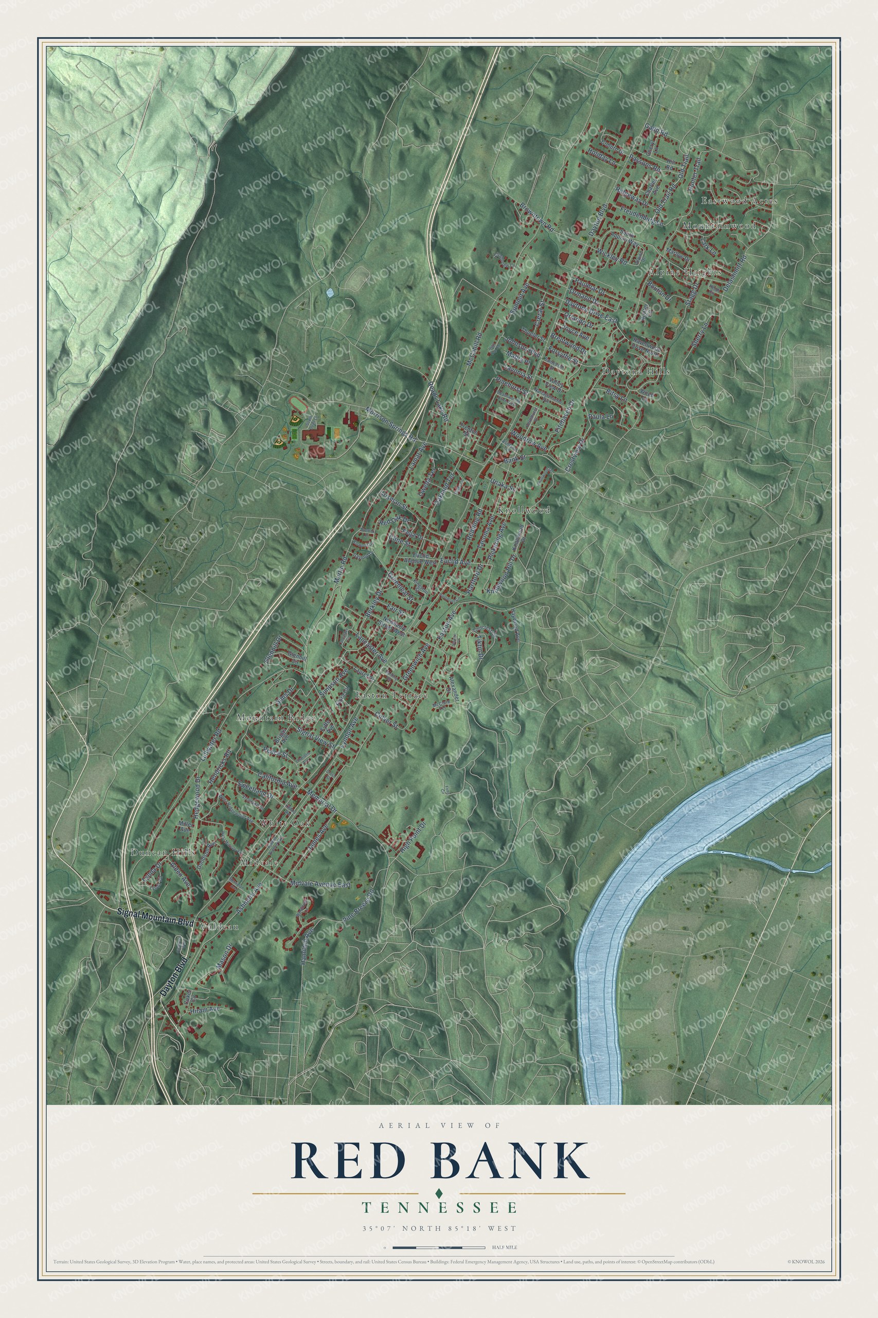
This beautifully detailed map of Red Bank, Tennessee was created in 2026 using aerial imagery combined with modern topographical, census, street and landmark data. It's a modern aerial view of Red Bank in Hamilton County, Tennessee, that combines modern data with a vintage aesthetic. The roads feature printed names, and if you look closely you can find your exact house accurately shown in its correct location.
Explore an aerial view of Red Bank, Tennessee
On this map you'll find Alpine Heights, Daytona Hills, Duncan Hills, Easton Terrace, Eastwood Acres, Knollwood, Midvale, Mountain Ridge, Mountainwood, Valdeau, White Oak, Dayton Boulevard, and more. Each red shape is a building, so zoom in on the preview and look for yours.
Red Bank has a story worth telling. The Tennessee County History Series puts it this way: "A post office established in 1881 to serve an area north of the river was first named Pleasant Hill; but because Tennessee already had a locality with this name, a second choice had to be made. The postmaster and his wife selected Red Bank, which remained a rural hamlet until an interurban streetcar line gave it direct access to Chattanooga after World War I."
Red Bank is a city in Hamilton County. The Census Bureau counted 11,899 people here in 2020.
Take a closer look at the Red Bank map
Names on this map
These names are printed on this map.
Places: Alpine Heights, Daytona Hills, Duncan Hills, Easton Terrace, Eastwood Acres, Knollwood, Midvale, Mountain Ridge, Mountainwood, Valdeau and White Oak.
Streets and roads: Dayton Boulevard, Signal Mountain Boulevard, Daytona Drive East, Berkley Drive, Crestview Drive, Ashmore Avenue, Lullwater Road, Martin Road, McCahill Road, Morrison Springs Road, Hunter Trail, Easton Avenue.
More street names, A to Z
Alden Avenue, Alexander Drive, Alpine Drive, Ashland Terrace, Bank Street, Bitsy Lane, Bouton Drive, Brentwood Drive, Briggs Avenue, Browntown Road, California Avenue, Charles Avenue, Charlotte Avenue, Cheryl Lane, Citygreen Way, Cline Street, Cloudview Lane, Coburn Drive, Coker Circle, Crerar Street, Crisman Street, Cross Street, Culver Street, Delashmitt Road, Euclid Avenue, Euclid Avenue West, Fair Street, Fitehaven Drive, Flora Circle, Folts Circle, Forsythe Street, Freudenburg Lane, Fyffe Avenue, Gadd Road, Gaylord Drive, Glenhill Circle, Glenhill Drive, Goodson Avenue, Greenleaf Street, Greenwich Avenue, Hamilton Avenue, Harding Road, Hartford Drive, Harwood Drive, Haywood Avenue, Hedgewood Drive, Heidi Circle, Helmhurst Place, Hendricks Road, High Point Drive, High Top Road, Hill Road, Hiram Avenue, Holiday Lane, Hunter Circle, James Avenue, Johnson Boulevard, Joselin Lane, Joyce Avenue, Kildare Avenue, Kingston Street, Knollwood Drive, Knollwood Hill Drive, Knollwood Terrace, Lamar Avenue, Lancaster Avenue, Lancaster Circle, Lark Lane, Laurel Drive, Lavonia Street, Lindcrest Circle, Lynda Circle, Lynda Drive, Lyndon Avenue, Lyndon Avenue East, Mabry Place, Marlow Drive, Mason Drive, McClure Terrace, Meadowbrook Drive West, Memorial Drive, Merriman Avenue, Midvale Avenue East, Miller Avenue, Narragansette Avenue, Newberry Street West, Oakland Terrace, Old Trail, Old Trail Road, Orlando Drive, Ormand Drive, Overton Drive, Oweda Terrace, Passons Road, Paula Lane, Paulmar Drive, Peace Street, Pickering Avenue, Piedmont Circle, Pine Breeze Road, Pinehurst Street, Ravenwood Drive North, Reads Lake Road, Redding Road, Red Oak Drive, Regal Drive, Ridgeway Drive, Santeelah Street, Sherry Lane, Signal View Street, Simpson Avenue, Sims Drive, Sliger Circle, South Appian Way, South Quail Lane, Stagg Drive, Summit Avenue, Sweetland Drive, Tacoma Avenue, Thueler Street, Tiktin Drive, Trenton Street, Unaka Street, Valley View Drive, Vreeland Street, West Midvale Avenue, Westover Lane, West Ridgewood Avenue, Wickley Road, Wood Lane, Woodrow Avenue.
Created by KNOWOL in 2026. The buildings are small red shapes, the roads carry their printed names, and shaded relief shows the shape of the land. The title panel reads "AERIAL VIEW OF RED BANK TENNESSEE" with 35°07' NORTH 85°18' WEST.
It looks right in a kitchen, an office or a den, and it's a gift for anyone who grew up in Red Bank or moved away. Open the preview and find your street. See sizes and frames for the Red Bank map.