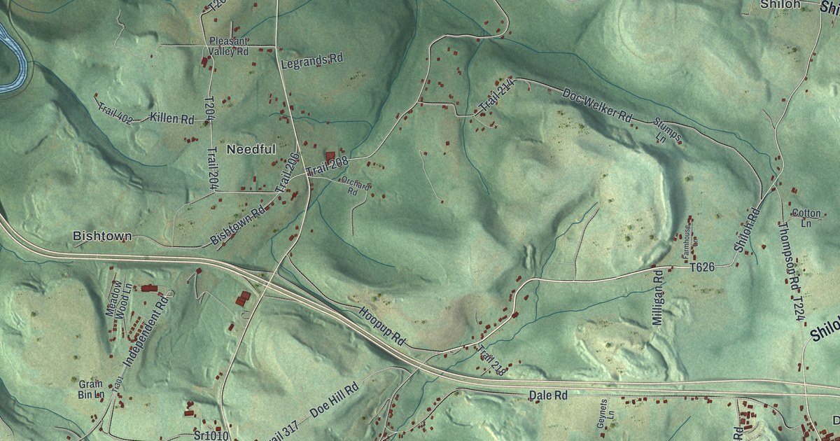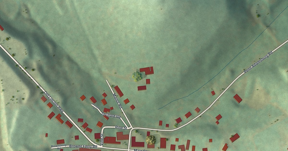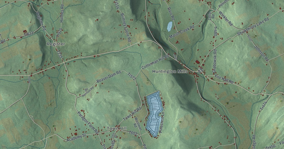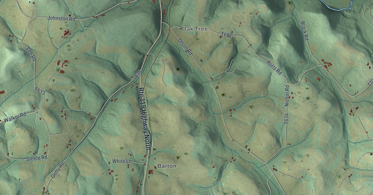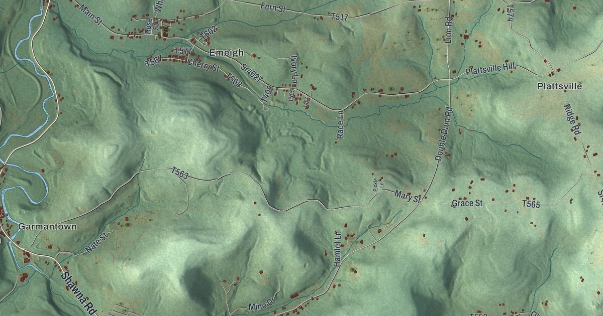
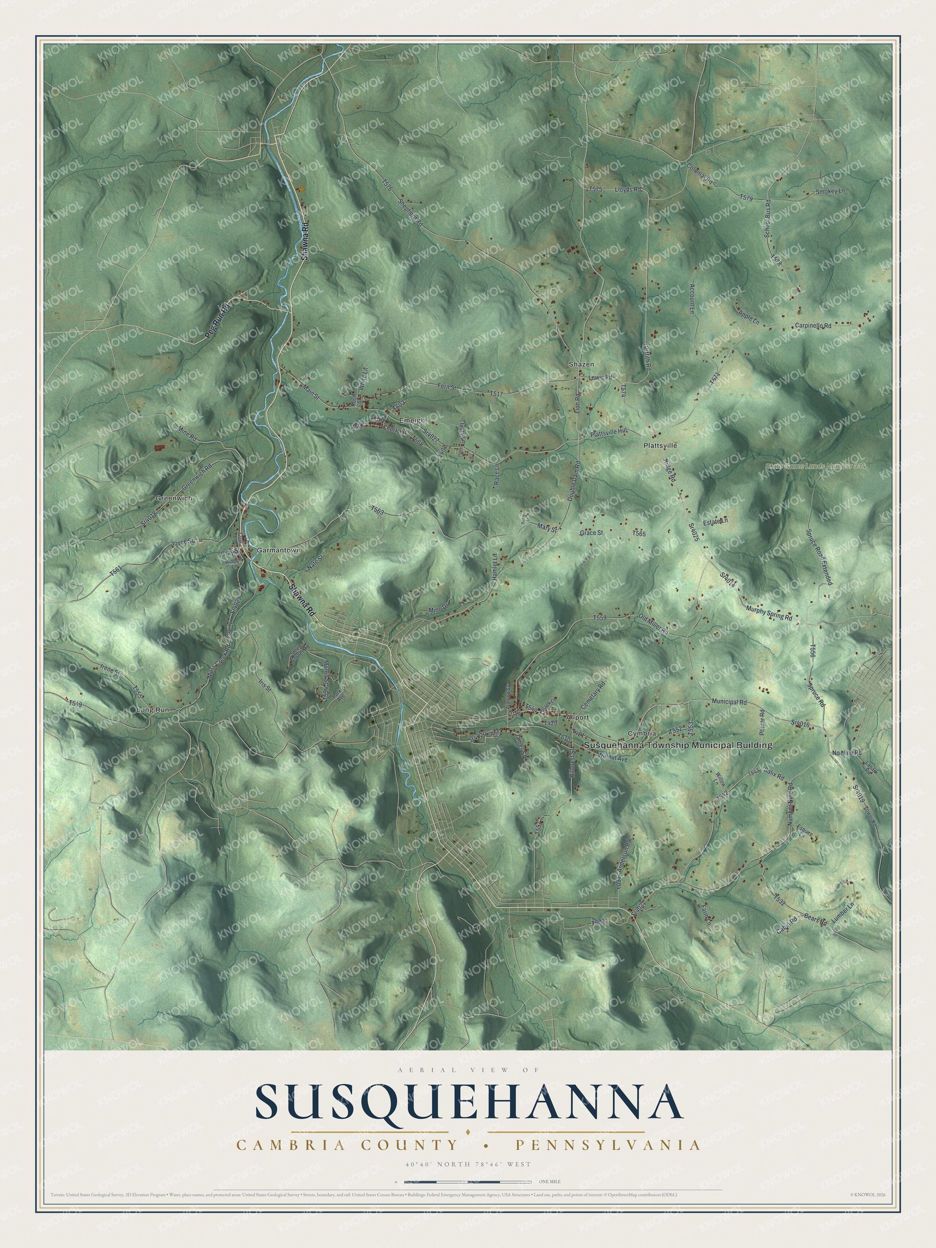
This beautifully detailed map of Susquehanna, Cambria County, Pennsylvania was created in 2026 using aerial imagery combined with modern topographical, census, street and landmark data. It's a modern aerial view of Susquehanna, Cambria County in Cambria County, Pennsylvania, that combines modern data with a vintage aesthetic. The roads feature printed names, and if you look closely you can find your exact house accurately shown in its correct location.
Explore an aerial view of Susquehanna, Cambria County, Pennsylvania
On this map you'll find Susquehanna Township Municipal Building, State Game Lands Number 334, Allport, Cymbria, Emeigh, Garmantown, Greenwich, Long Run, Plattsville, Shazen, Shawna Road, Peg Run Road, and more. Each red shape is a building, so zoom in on the preview and look for yours.
Every town has a first chapter, and Susquehanna, Cambria County is no exception. The Susquehanna Township puts it this way: "Susquehanna Township was incorporated on January 6, 1825, being formed from Allegheny and Cambria Townships. In addition to agriculture, the ready local supply of lumber attracted people to the area in the early 19th century."
Susquehanna, Cambria County is a place in Cambria County. The Census Bureau counted 1,889 people here in 2020.
Take a closer look at the Susquehanna, Cambria County map
Names on this map
These names are printed on this map.
Places: Susquehanna Township Municipal Building, State Game Lands Number 334, Allport, Cymbria, Emeigh, Garmantown, Greenwich, Long Run, Plattsville and Shazen.
Streets and roads: Shawna Road, Peg Run Road, Municipal Road, Sr4016, Lion Road, Plattsville Hill, Griffith Road, Double Dam Road, Mine Road, Cherry Street, Sr4020, Colonial Road.
More street names, A to Z
Account Lane, Almond Street, Anderson Road, Ann Street, Apple Lane, Bears Road, Black Lane, Cabin Road, Carpinello Road, Cemetary Road, Charity Lane, Coal Lane, Esquire Lane, Estate Lane, Farm Lane, Fern Street, Grace Street, Gray Street, Greenwich Road, Hamlet Lane, Hidden Lane, Hillcrest Street, Irene Street, Iris Street, Ivory Lane, James Street, Joyce Street, Lanark Road, Lewis Road, Lloyds Road, Lumber Lane, Main Street, Mary Street, Mino Drive, Morris Street, Moss Creek Road, Murphy Spring Road, Nate Street, No Nine Road, Number Nine Road, Old Miller Road, Park Avenue, Pickle Lane, Poplar Road, Race Lane, Ridge Road, Rose Street, Salix Road, School Bus Road, Shepherd Road, Smokey Lane, Spruce Road, Spruce Road Extended, Sr4014, Sr4018, Sr4019, Sr4021, Sr4025, Sr4027, Sr4029, Steele Corner Road, Strip Road, Tower Road, Walnut Avenue, White Lane, Willow Lane.
Created by KNOWOL in 2026. The buildings are small red shapes, the roads carry their printed names, and shaded relief shows the shape of the land. The title panel reads "AERIAL VIEW OF SUSQUEHANNA CAMBRIA COUNTY • PENNSYLVANIA" with 4, 0, °, 4, 0, ', , N, O, R, T, H, , 7, 8, °, 4, 6, ', , W, E, S, T.
Hang it in the hallway, the office or the cabin, or give it to someone who left Susquehanna, Cambria County and still calls it home. Open the preview and look for a street you know. See sizes and frames for the Susquehanna, Cambria County map.