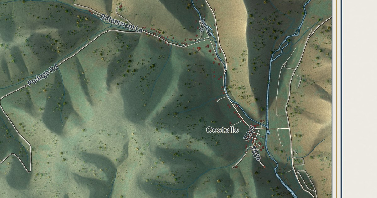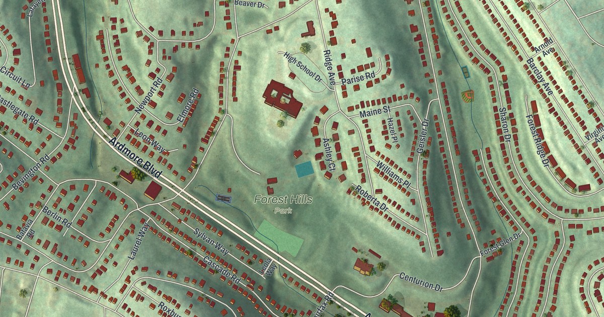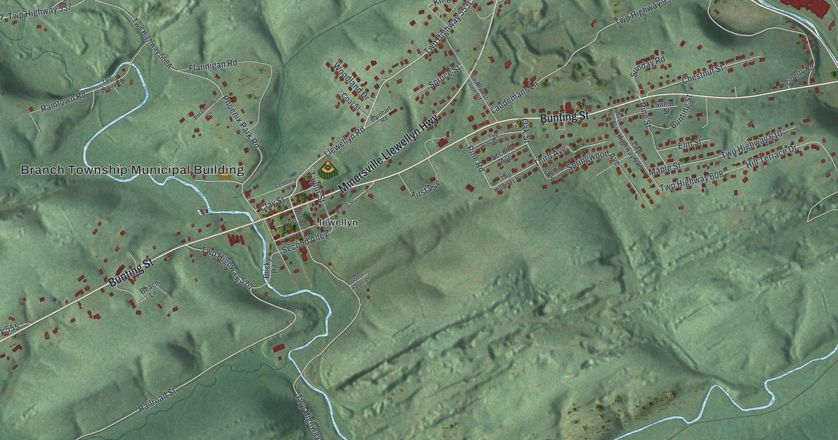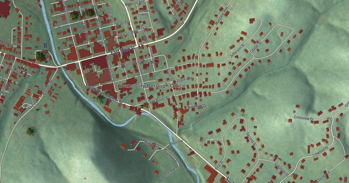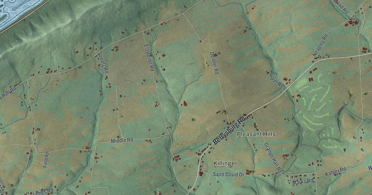
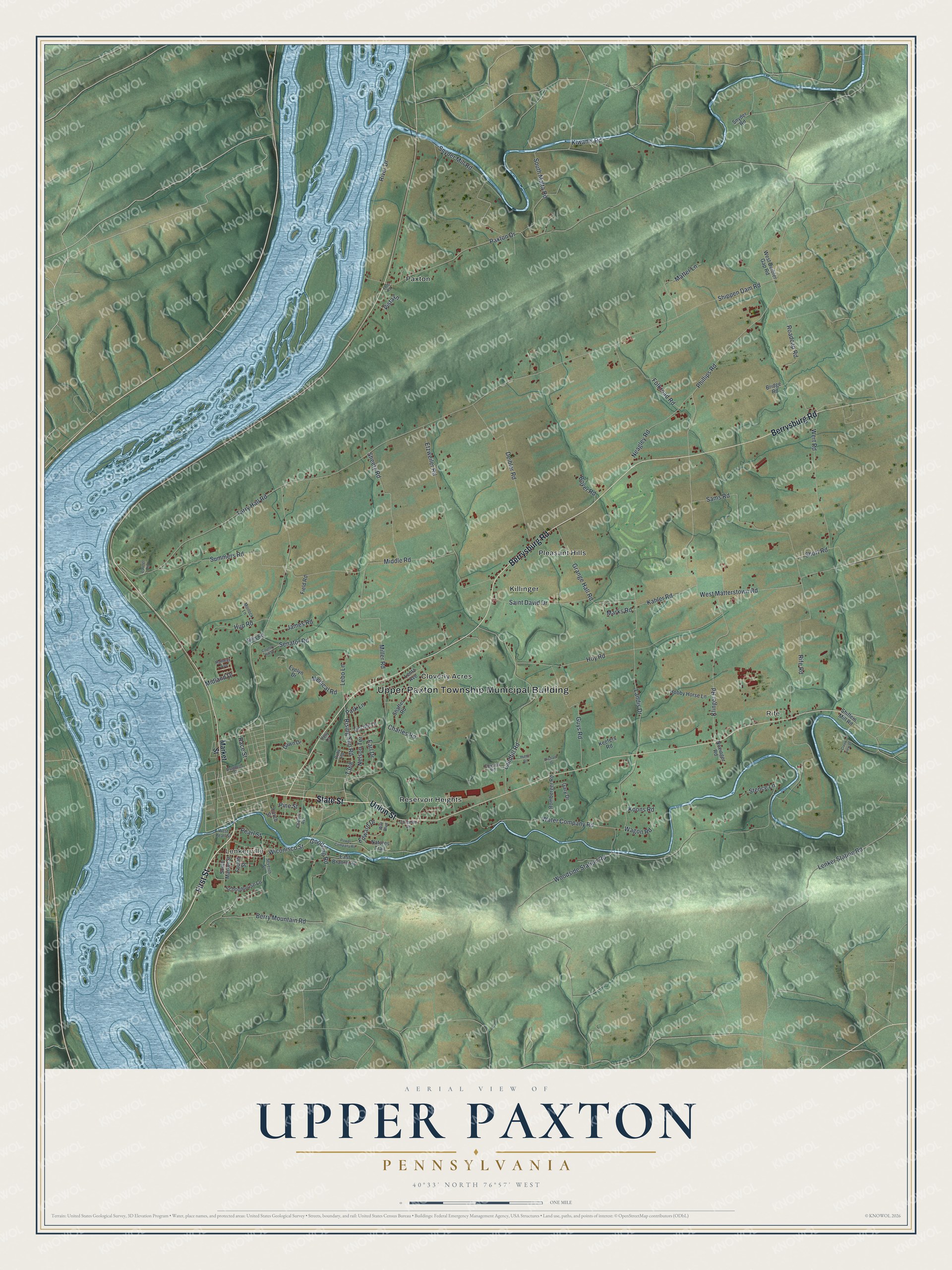
This beautifully detailed map of Upper Paxton, Pennsylvania was created in 2026 using aerial imagery combined with modern topographical, census, street and landmark data. It's a modern aerial view of Upper Paxton in Dauphin County, Pennsylvania, that combines modern data with a vintage aesthetic. The roads feature printed names, and if you look closely you can find your exact house accurately shown in its correct location.
Explore an aerial view of Upper Paxton, Pennsylvania
On this map you'll find Upper Paxton Township Municipal Building, Rife, Lenkerville, Cloverly Acres, Killinger, Paxton, Pleasant Hills, Reservoir Heights, First Street, Union Street, State Street, Berrysburg Road, and more. Each red shape is a building, so zoom in on the preview and look for yours.
Every town has a first chapter, and Upper Paxton is no exception. The Lykens Valley History and Genealogy puts it this way: "At the time of the creation of Dauphin County, Pennsylvania, from a portion of Lancaster County, 4 April 1785, there was only one township in the upper part of the county north of Peter’s Mountain."
Upper Paxton is a place in Dauphin County. The Census Bureau counted 4,010 people here in 2020.
Take a closer look at the Upper Paxton map
Names on this map
These names are printed on this map.
Places: Upper Paxton Township Municipal Building, Rife, Lenkerville, Cloverly Acres, Killinger, Paxton, Pleasant Hills and Reservoir Heights.
Streets and roads: First Street, Union Street, State Street, Berrysburg Road, Klinger Road, Phillips Road, Race Street, Paxton Drive, West Matterstown Road, Shippen Dam Road, Hoy Road, Woodside Station Road.
More street names, A to Z
Berry Mountain Road, Bills Road, Boyer Road, Bridge Road, Charles Road, Chelton Avenue, Church Street, Coleman Drive, Country Hill Drive, Cousins Road, Creek View Drive, Dawn Drive, Deibler Road, Dougherty Street, Earl Drive, East Branch Road, Edward Drive, Etzweiler Road, Evelyn Drive, Field Road, Fourth Street, Fulkroad Road, Gary Drive, Goodling Road, Grange Hall Road, Guys Road, Hobby Horse Lane, Holly Lane, Huntz Road, Hup Road, James Road, Kahler Road, Keefers Road, Kiwanis Road, Koons Road, Landfill Road, Landis Drive, Laurel Lane, Lebo Lane, Lenker Station Road, Lentz Avenue, Lincoln Lane, Loop Road, Market Street, Marks Road, Matter Lane, Medical Road, Middle Road, Midland Drive, Miller Road, Morlock Lane, Natures Trail, Neagley Road, Nelson Terrace, Novinger Road, Orchard Drive, Park Lane, Pearl Street, Pine Street, Power Company Road, Railway Avenue, Rife Road, Rising Sun Road, River Drive, Roadcap Road, Romberger Road, Ruby Road, Saint David Drive, Sams Road, Schoolhouse Lane, Senator Road, Seventh Street, Shaffer Road, Sheetz Road, Shiffers Mill Road, Short Road, Snyder Mill Road, Snyder Road, South Malta Road, South Market Street, Stence Lane, Summers Road, Tarry Hall Road, Vista Lane, Wagon Road, Water Company Road, Wert Road, West Deibler Gap Road, West Pearl Street, Wiconisco Street, Wilt Boulevard.
Created by KNOWOL in 2026. The buildings are small red shapes, the roads carry their printed names, and shaded relief shows the shape of the land. The title panel reads "AERIAL VIEW OF UPPER PAXTON PENNSYLVANIA" with 4, 0, °, 3, 3, ', , N, O, R, T, H, , 7, 6, °, 5, 7, ', , W, E, S, T.
Hang it in the hallway, the office or the cabin, or give it to someone who left Upper Paxton and still calls it home. Open the preview and look for a street you know. See sizes and frames for the Upper Paxton map.