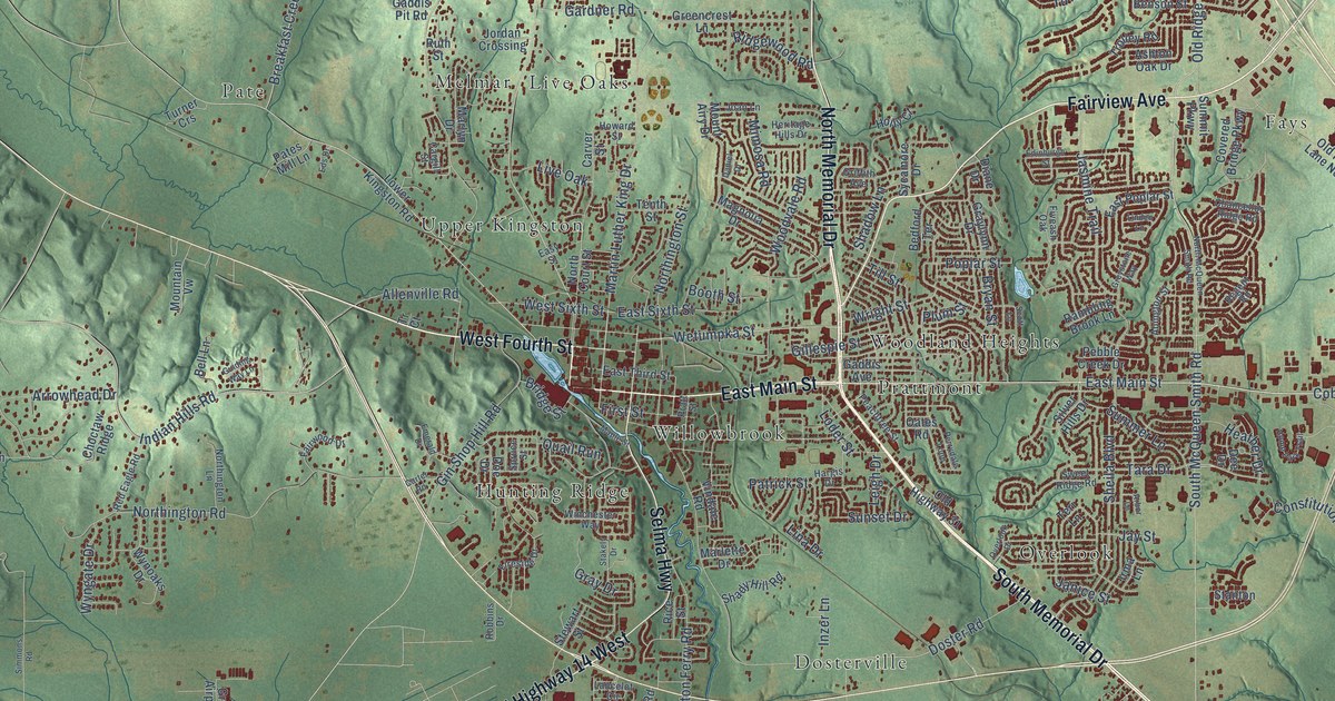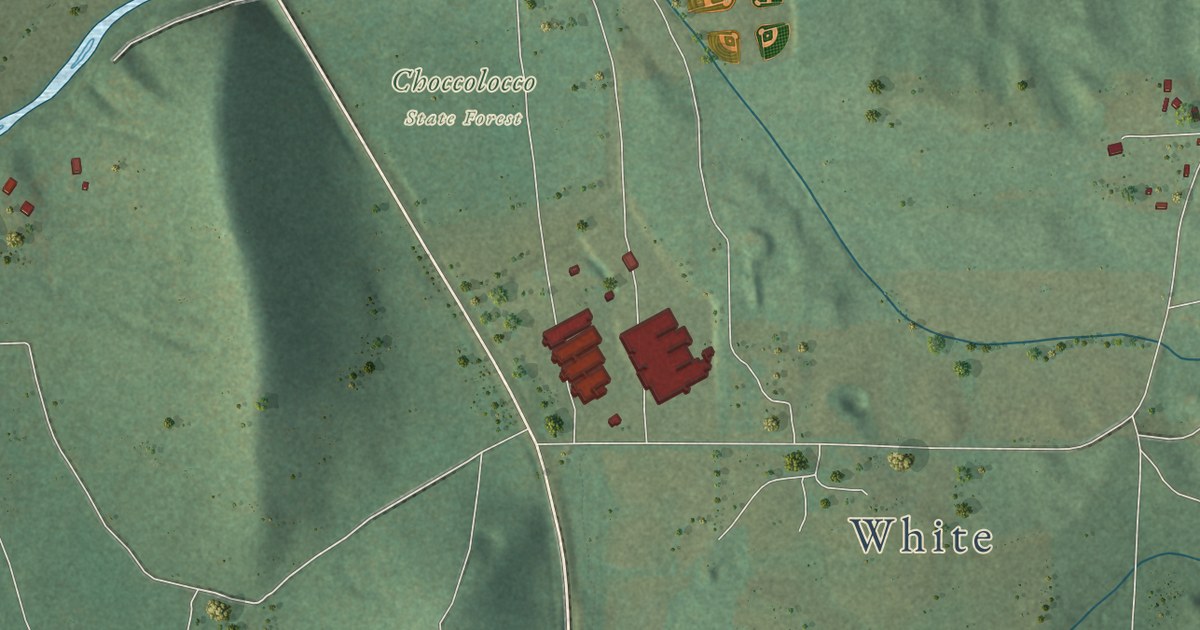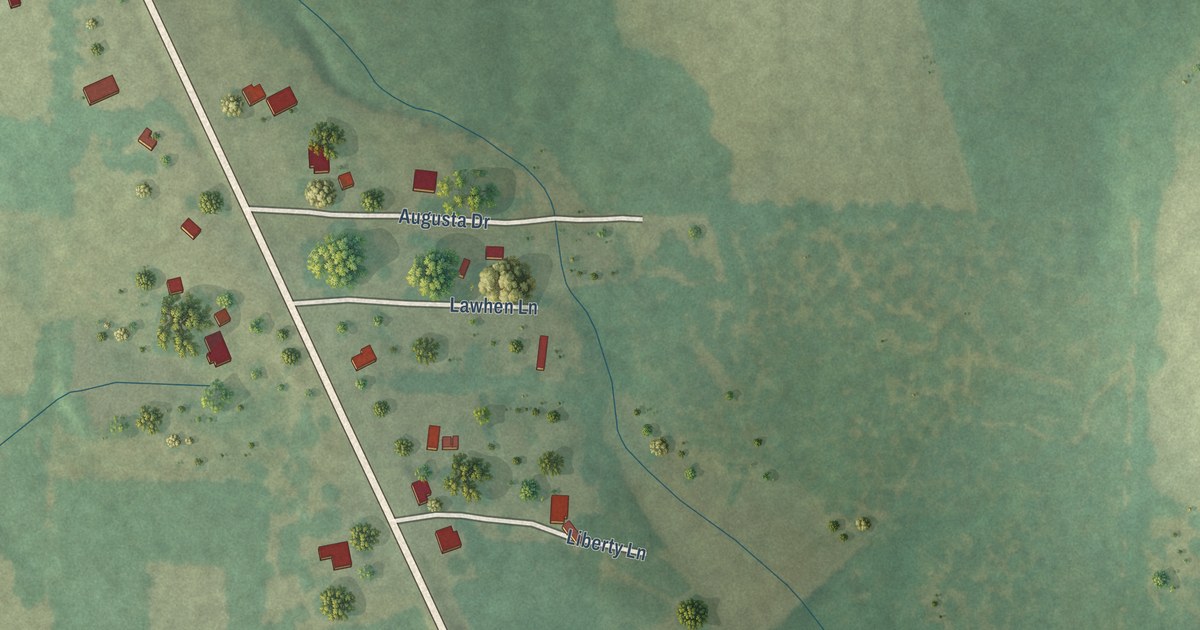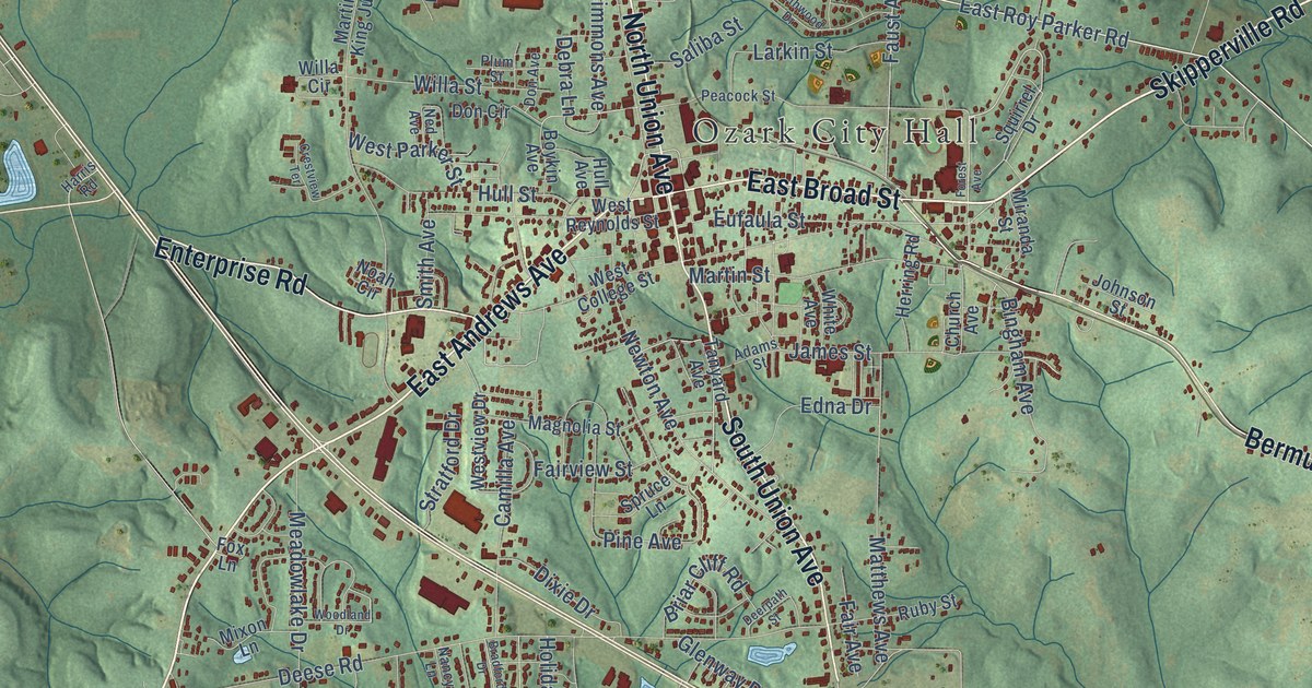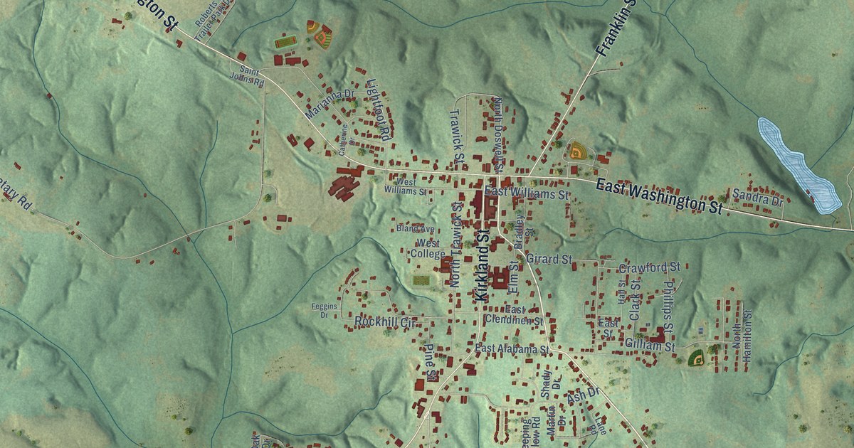
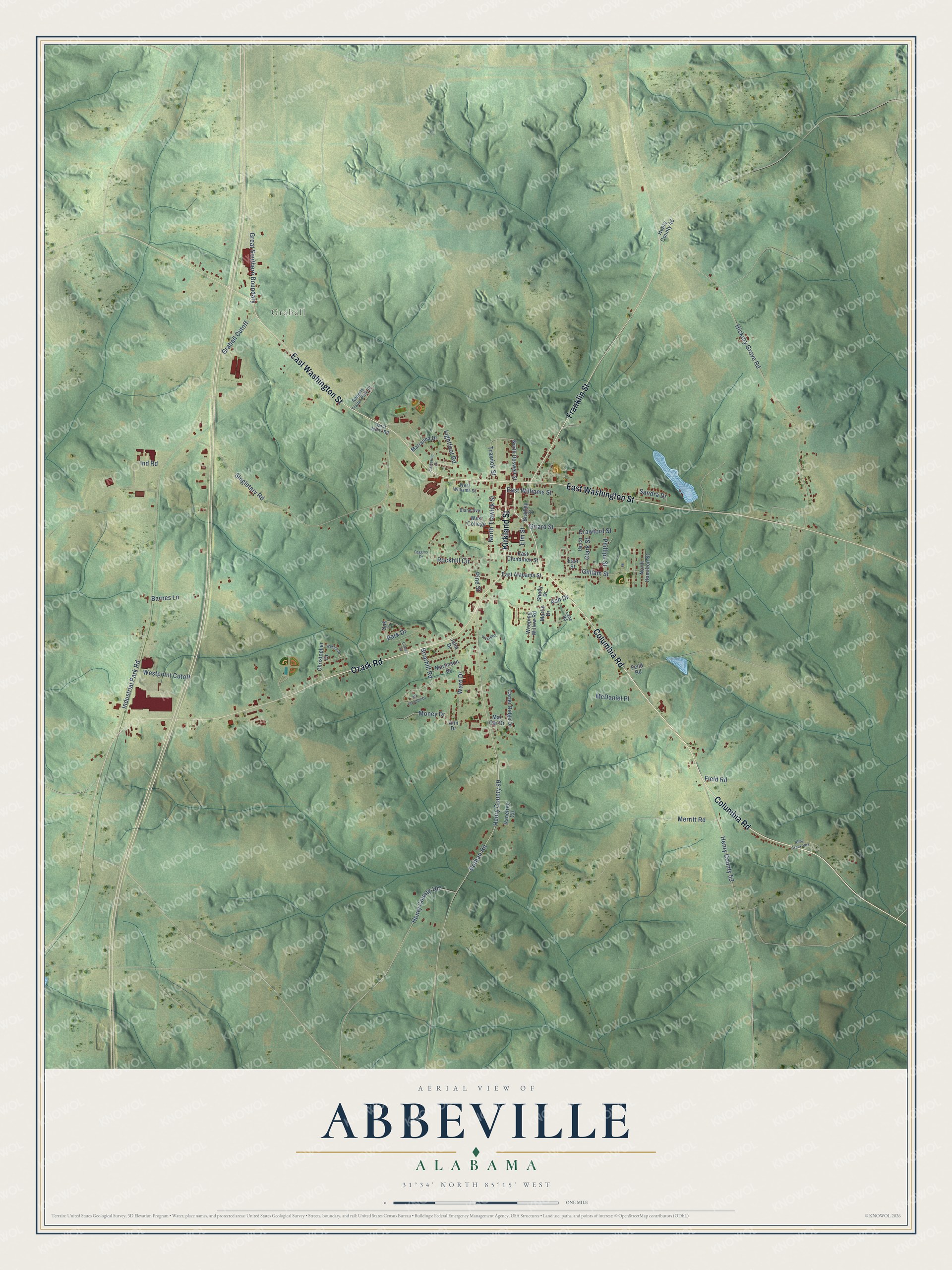
This beautifully detailed map of Abbeville, Alabama was created in 2026 using aerial imagery combined with modern topographical, census, street and landmark data. It’s a one-of-a-kind view of Abbeville that combines accurate data with a vintage aesthetic. The map shows every building in its true location, many of the roads carry their names, and the shaded topographic relief shows the shape of the land.
Explore an aerial view of Abbeville, Alabama
On the map you’ll find Graball, Henry County 99, and Henry County 53, along with Columbia Road, Ozark Road, Franklin Street, East Washington Street, Kirkland Street, Dothan Road, Hickory Grove Road, Singletary Road, Industrial Park Road, and more. If you look closely you can even find your house accurately drawn in its correct location. Zoom in on the preview to look for yours.
Did you know this piece of Abbeville, Alabama history?
On May 20, 1906, a fire set by an arsonist nearly destroyed Abbeville. It burned a whole block of Kirkland Street, most of the business district. A bucket brigade saved the courthouse by soaking its flat roof. The town rebuilt with brick buildings in place of the lost wooden ones.
Take a closer look at the Abbeville map
Street and place names on the Abbeville, Alabama map
These names are printed on the map of Abbeville, Alabama.
Places: Graball.
Streets and roads: Columbia Road, Ozark Road, Franklin Street, East Washington Street, Kirkland Street, Dothan Road, Hickory Grove Road, Henry County 99, Singletary Road, Industrial Park Road, Henry County 53, Rockhill Circle.
More street names, A to Z
Abby Creek Roa, Ann Drive, Ash Drive, Barnes Lane, Bland Avenue, Bradley Street, Briarhill Road, Carter Ridge Drive, Catherine Drive, Christopher Drive, Clark Street, Clover Street, Crawford Street, East Alabama Street, East Clendinen Street, East Street, East Williams Street, Elm Street, Feggins Drive, Feild Road, Field Road, Gilliam Street, Girard Street, Graball Cutoff, Great Southern Boundary, Hall Street, Henry County 46, Henry County 107, Ind Road, Julia Drive, Lane Road, Lightfoot Road, Mar Car Drive, Marianna Drive, Martin Drive, Martinson Drive, Mc Clendon Drive, McDaniel Place, Merritt Road, Money Drive, North Doswell Street, North Hamilton Street, North Trawick Street, Oak Drive, Park Drive, Phillips Street, Pine Street, Ranetree Circle, Roberts Trailer Park Drive, Saint Johns Road, Sandra Drive, Shady Drive, Trawick Street, Vickrey Drive, Ward Drive, Weeping Willow Road, Wesley Drive, West College, Westpoint Cutoff, West Williams Street.
See the Abbeville, Alabama map on a wall
The Abbeville map as an 18 x 24 inch print in a black frame.

This beautifully detailed map of Abbeville makes an attractive addition to your office, library, or den, and it can even be used to teach children the geography and history of the area. It also makes a great gift for anyone who grew up in Abbeville or moved away. When you’re done exploring, click here to get your copy of the Abbeville map.