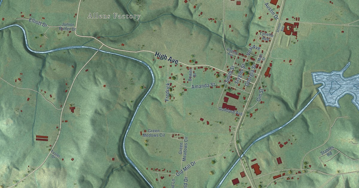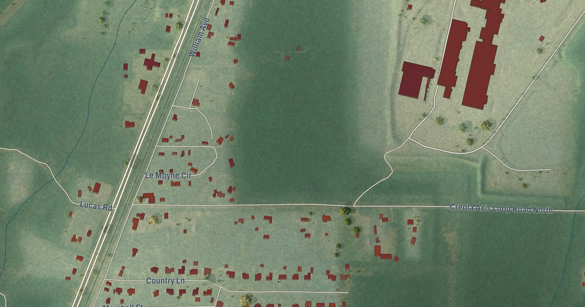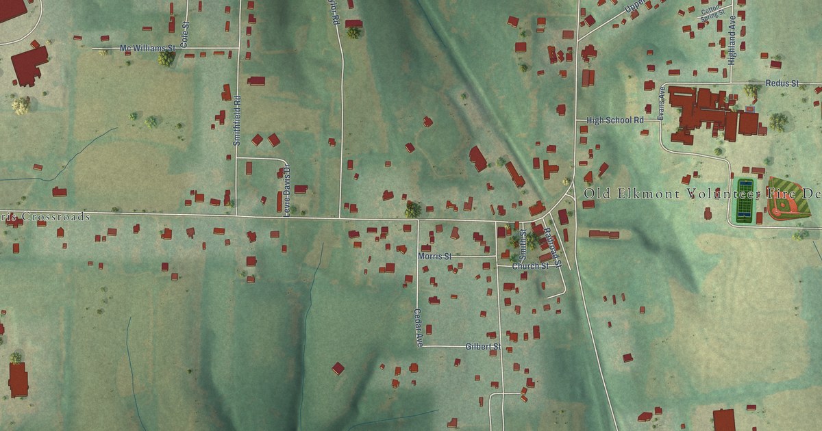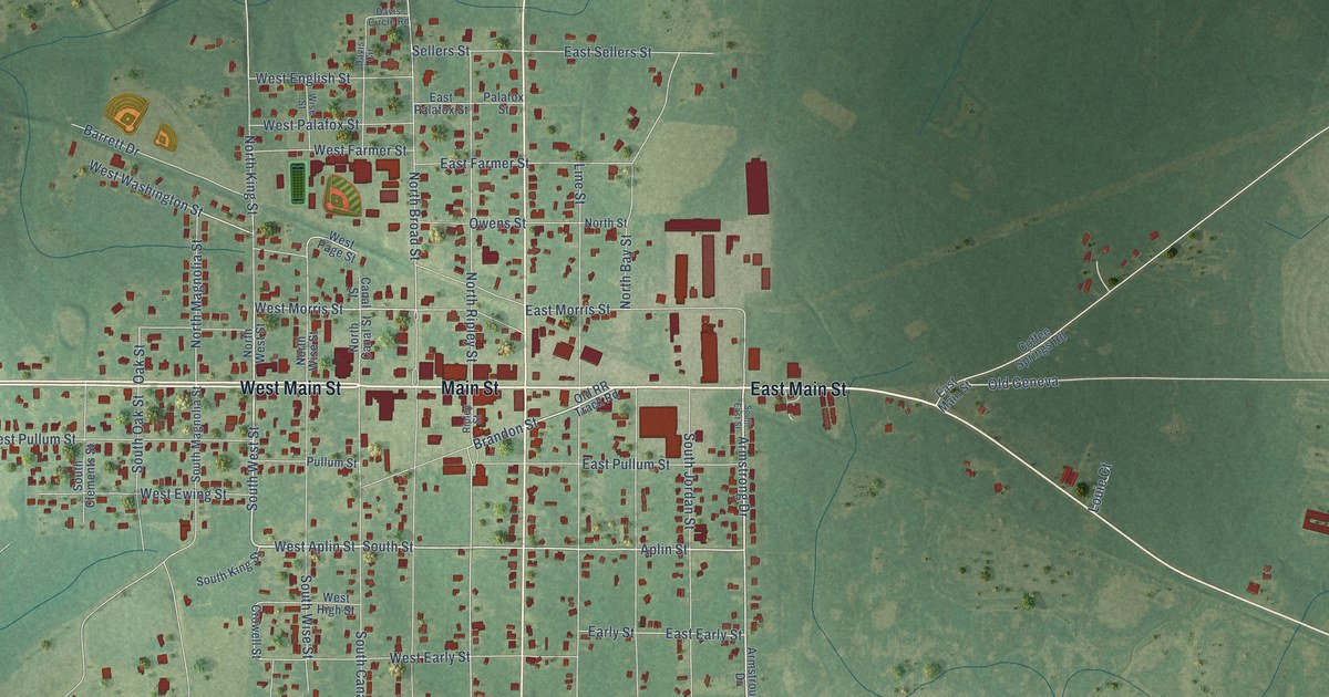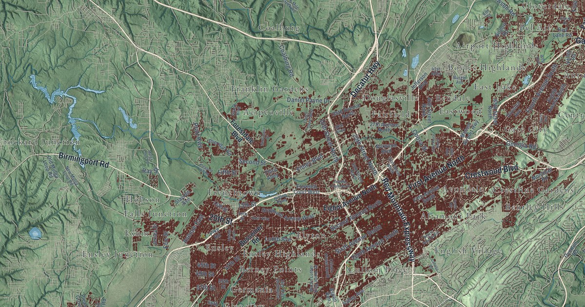
This beautifully detailed map of Birmingham, Alabama was created in 2026 using aerial imagery combined with modern topographical, census, street and landmark data. It’s a one-of-a-kind view of Birmingham that combines accurate data with a vintage aesthetic. The map shows every building in its true location, many of the roads carry their names, and the shaded topographic relief shows the shape of the land.
Explore an aerial view of Birmingham, Alabama
On the map you’ll find Acipcoville, Airport Highlands, Altamont Park, Alton, Autumn Chase, Avondale, Bel Air, Belle Haven, Bendale, Bentley Hills, Berkley Hills, Berney Points, and more. If you look closely you can even find your house accurately drawn in its correct location. Zoom in on the preview to look for yours.
Did you know this piece of Birmingham, Alabama history?
From Encyclopediaofalabama.org: "The youngest of the state’s major cities, Birmingham was founded in 1871 at the crossing of two rail lines near one of the world’s richest deposits of minerals."
Take a closer look at the Birmingham map
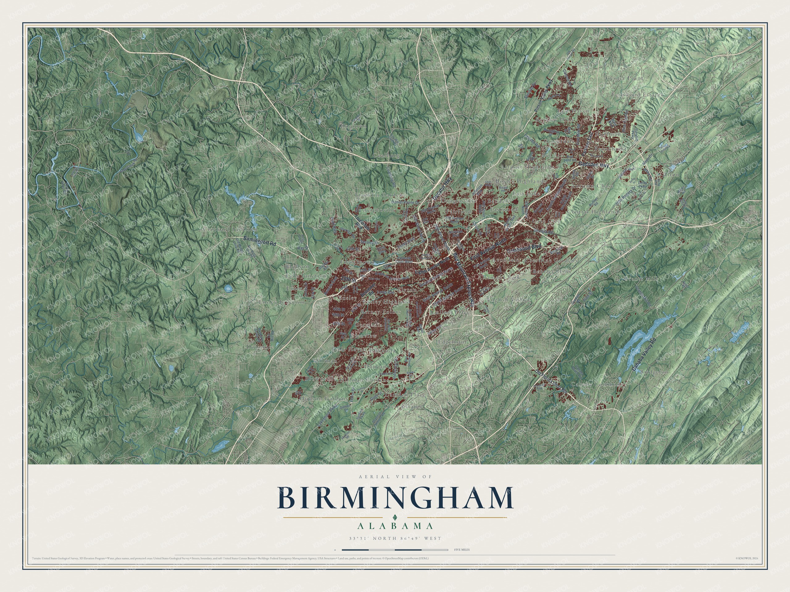
Street and place names on the Birmingham, Alabama map
These names are printed on the map of Birmingham, Alabama.
Places: Acipcoville, Airport Highlands, Altamont Park, Alton, Autumn Chase, Avondale, Bel Air, Belle Haven, Bendale, Bentley Hills, Berkley Hills, Berney Points, Boyles Highlands, Bridgeton, Brookhurst, Brownville, Cahaba Commons, Camden Place, Center Point, Central Highlands, Cloverdale, Coalburg, Crest Estates, Crestline Gardens, Crockard Junction, Cullom Place, Dogtown, Dolomite, Douglasville, Duncan, East Haven, East Lake, Eastwood, Edgemont, Elyton, English Village, Ensley, Ensley Highlands, Ensley Junction, Exum, Fairfield, Falls Junction, Fernwood Estates, Franklin Gardens, Frenchtown, Gate City, Germania, Glenview, Grants Mill, Hillman, Hillman Gardens, Hobson, Hudson Gardens, Huffman and Ishkooda.
Streets and roads: Red Mountain Expressway, Decatur Highway, Birmingport Road, First Avenue North, Crestwood Boulevard, Gadsden Highway, Cahaba Valley Road, 20th Street, Lakeshore Parkway, Sixth Avenue South, Fourth Avenue South, Second Avenue North.
More street names, A to Z
13th Street, 14th Street, 16th Street North, 16th Way Southwest, 19th Street, 19th Street North, 25th Street North, 27th Avenue North, 30th Alley, 31st Street North, 35th Avenue North, 40th Street North, 41st Alley, 42nd Place North, 45th Street, 46th Alley, 47th Street, 49th Street, 55th Street, 57th Street, 65th Street North, 66th Street, Airport Road, Alton Drive, Alton Road, Amber Hills Road, Argyle Road South, Aspen Run, Atwood Ferry Road, Avenue East, Avenue South, Bailey Road, Bessemer Road, Burgin Avenue, Bush Alley, Cahaba Beach Road, Cahaba Road, Cairo Avenue, Carol Drive, Carson Road, Center Street South, Coalburg Road, Colonnade Parkway, Coosa Street, Daniel Payne Drive, Derby Drive, Derby Parkway, Derby Way, Division Avenue, Dotson Drive, Eighth Avenue North, Eighth Avenue South, Eleventh Court West, Elm Street, Erie Street, Essex Road, Fifth Avenue South, Fifth Street, Finley Boulevard, Five Mile Creek Road, Five Mile Road, Flat Top Road, Forestdale Boulevard, Fourth Street West, Georgia Road, Goss Street, Grand Boulevard, Grants Mill Road, Graymont Avenue West, Hillcrest Avenue, Hilltop Parkway, Huntington Drive, Industrial Drive, Ivy Street, Jefferson Boulevard, Jersey Street, John Rogers Drive, Lacy Road, Lawson Road, Link Road, Lomb Avenue, Lyon Lane, Martin Luther King Junior Drive, Mary Taylor Road, Meg Drive, Messer Airport Highway, Miller Road, Montclair Road, Moonglow Drive, Mulga Loop Road, New Mulga Loop Road, Norwood Boulevard, Old Alton Road, Old Florida Short Route, Old Mulga Loop Road, Old Pinson Road, Overton Road, Paris Avenue, Parkway East, Percy Vines Road, Pike Road, Pine Street, Pine Tree Drive, Pinson Valley Parkway, Pleasant Grove Road, Pleasant Hill Road, Pratt Highway, Ray Street, Red Lane Road, Republic Road, Rex Lake Road, Ruffner Road, Second Street, Shannon Oxmoor Road, Shannon Road, Sheridan Road, Short Creek Road, Slayden Avenue, Snow Drive, Sterilite Drive, Sunbelt Parkway, Sydney Drive, Tenth Avenue South, Third Alley, Tin Mill Road, Turncliff Parkway, Twelfth Court North, Valley Avenue, Valley Drive, Valley Road, Venice Road, Ware Boulevard, West Boulevard, West Oxmoor Road, Wilson Road Southwest, Winewood Road, Winners Way.
See the Birmingham, Alabama map on a wall
The Birmingham map as an 18 x 24 inch print in a black frame.

This beautifully detailed map of Birmingham makes an attractive addition to your office, library, or den, and it can even be used to teach children the geography and history of the area. It also makes a great gift for someone who left Birmingham and still calls it home. When you’re done exploring, click here to get your copy of the Birmingham map.