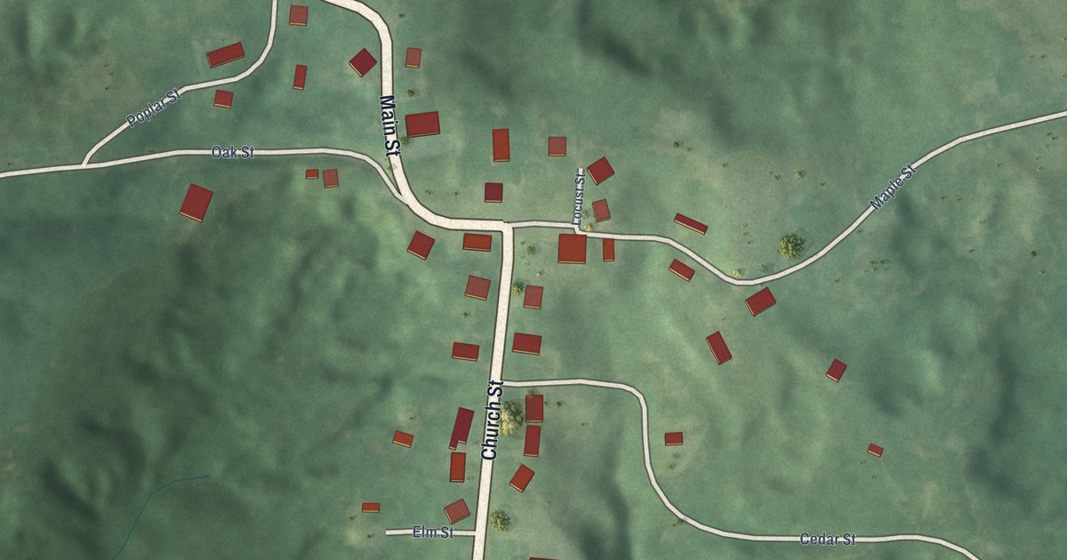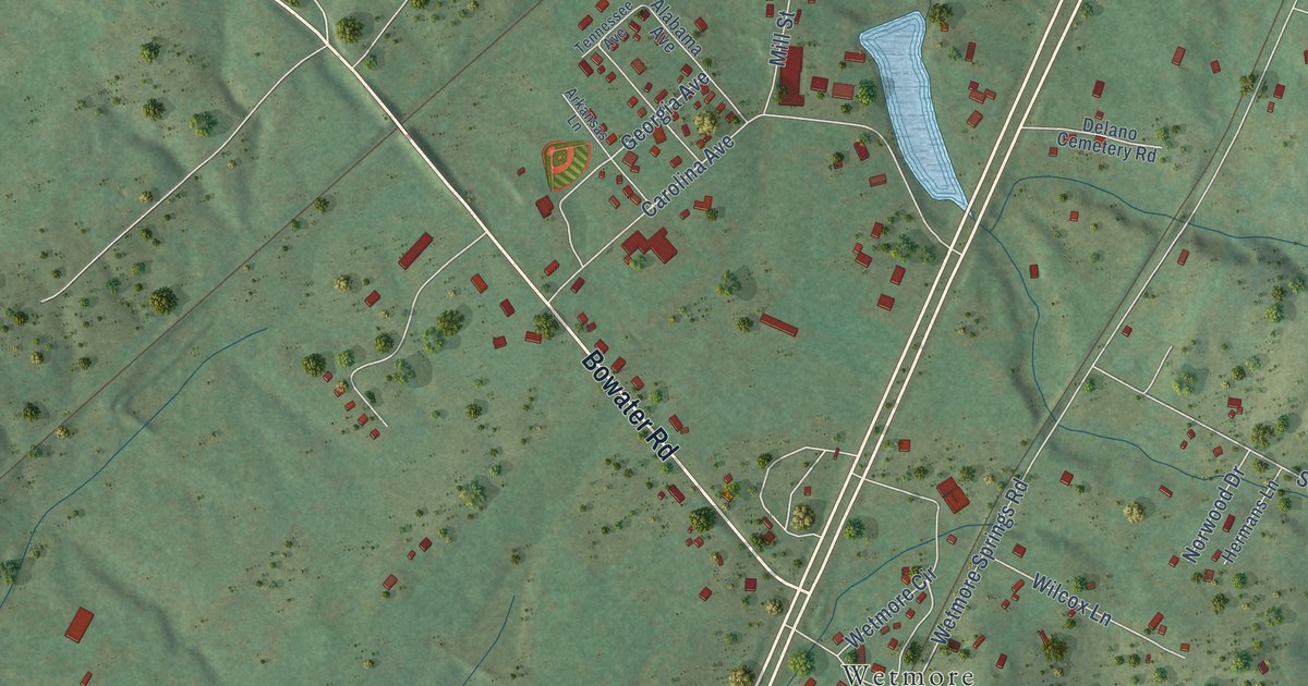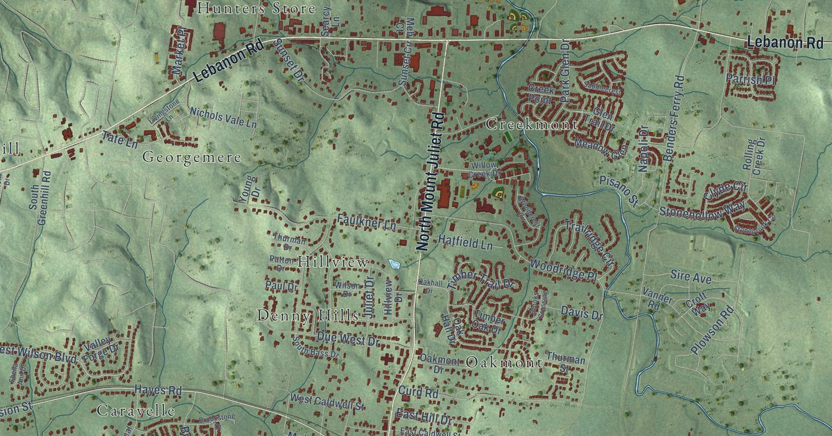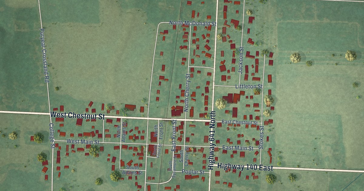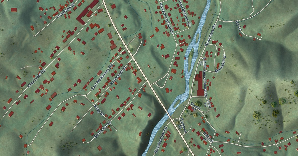
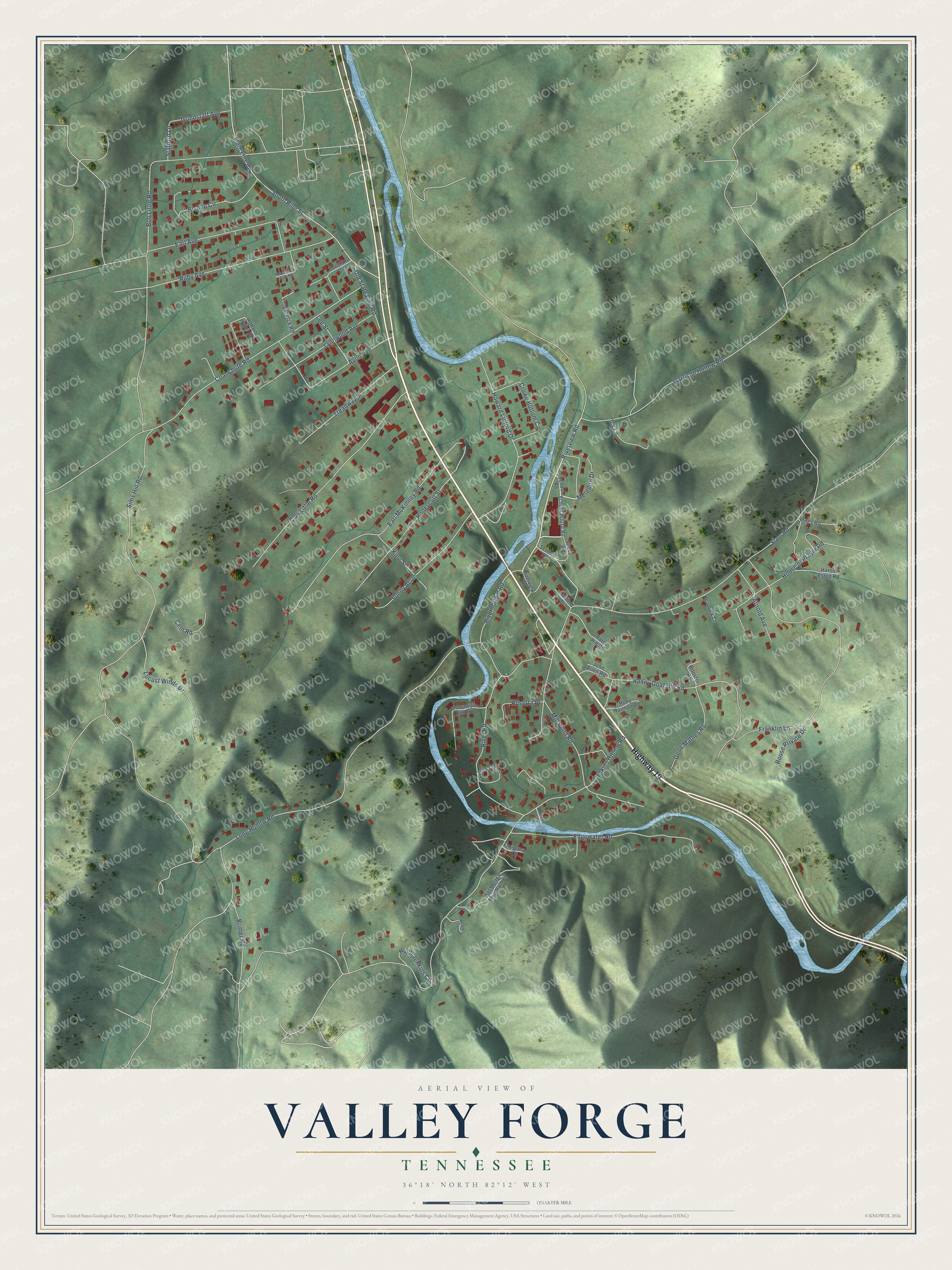
This beautifully detailed map of Valley Forge, Tennessee was created in 2026 using aerial imagery combined with modern topographical, census, street and landmark data. It's a modern aerial view of Valley Forge in Carter County, Tennessee, that combines modern data with a vintage aesthetic. The roads feature printed names, and if you look closely you can find your exact house accurately shown in its correct location.
Explore an aerial view of Valley Forge, Tennessee
On this map you'll find Highway 19, Riverbottom Road, Riverview Road, Meredith Drive, Howard Lipford Drive, Sims Hill Road, Jenkins Hollow Road, Long Hollow Road, Franklin Lane, Siam Road, Coal Chute Road, Clay Little Road, and more. Each red shape is a building, so zoom in on the preview and look for yours.
Here is a piece of Valley Forge history, in the words of the record. The Historical Marker Database puts it this way: "1/2 mile E. of Valley Forge on Doe River are the ruins of an iron furnace built in 1820 by William B. Carter of Elizabethton. It was purchased in 1824 by James, John, and Joseph O'Brien and William Gott."
Valley Forge is a place in Carter County. The Census Bureau counted 1,926 people here in 2020.
Take a closer look at the Valley Forge map
Names on this map
These names are printed on this map.
Streets and roads: Highway 19, Riverbottom Road, Riverview Road, Meredith Drive, Howard Lipford Drive, Sims Hill Road, Jenkins Hollow Road, Long Hollow Road, Franklin Lane, Siam Road, Coal Chute Road, Clay Little Road.
More street names, A to Z
Arnold Avenue, Avon Avenue, Bishop Circle, Bob Little Road, Brimer Road, Brittany Drive, Cem Road, Crowe Bottom Circle, Earl Avenue, Earl McKinney Road, Edgewater Road, Garrison Hollow Road, Gene Mathes Road, Grindstaff Avenue, Harold Estep Road, Hatfield Drive, Headrick Lane, Heather Lane, Hobart Hyder Road, Honeycutt Street, House of Prayer Road, Hugh Jenkins Circle, Icy Lane, John Allen Road, Jones Road, Journey's End Road, King Street, Lee Street, Locust Winds Drive, Lynnwood Avenue, Mill Pond Road, Nanny Goat Hill Road, Old State Line Road, Pierce Trail Park Road, River Road, Riverview Drive, Rooster Road, Rosetta Drive, Ross Jenkins Circle, Rouse Private Drive, Ruby Avenue, Ruby Harmon Road, School House Road, School Road, Seuess Road, Sgt Melton Mountain Cr, South Pine Street, Stafford Lane, State Line Road, Stillwater Circle, Suess Road, Summer Court, Sunny Acres, Sunshine Circle, Treadway Street, Troy Pierce Road, Yard Hill Road.
Created by KNOWOL in 2026. The buildings are small red shapes, the roads carry their printed names, and shaded relief shows the shape of the land. The title panel reads "AERIAL VIEW OF VALLEY FORGE TENNESSEE" with 36°18' NORTH 82°12' WEST.
It suits a den, a classroom or a front hall, and it makes a gift for anyone with Valley Forge roots. Open the preview and find the block you know. See sizes and frames for the Valley Forge map.