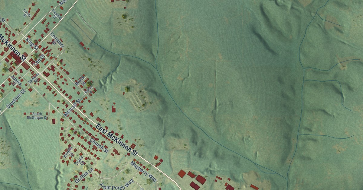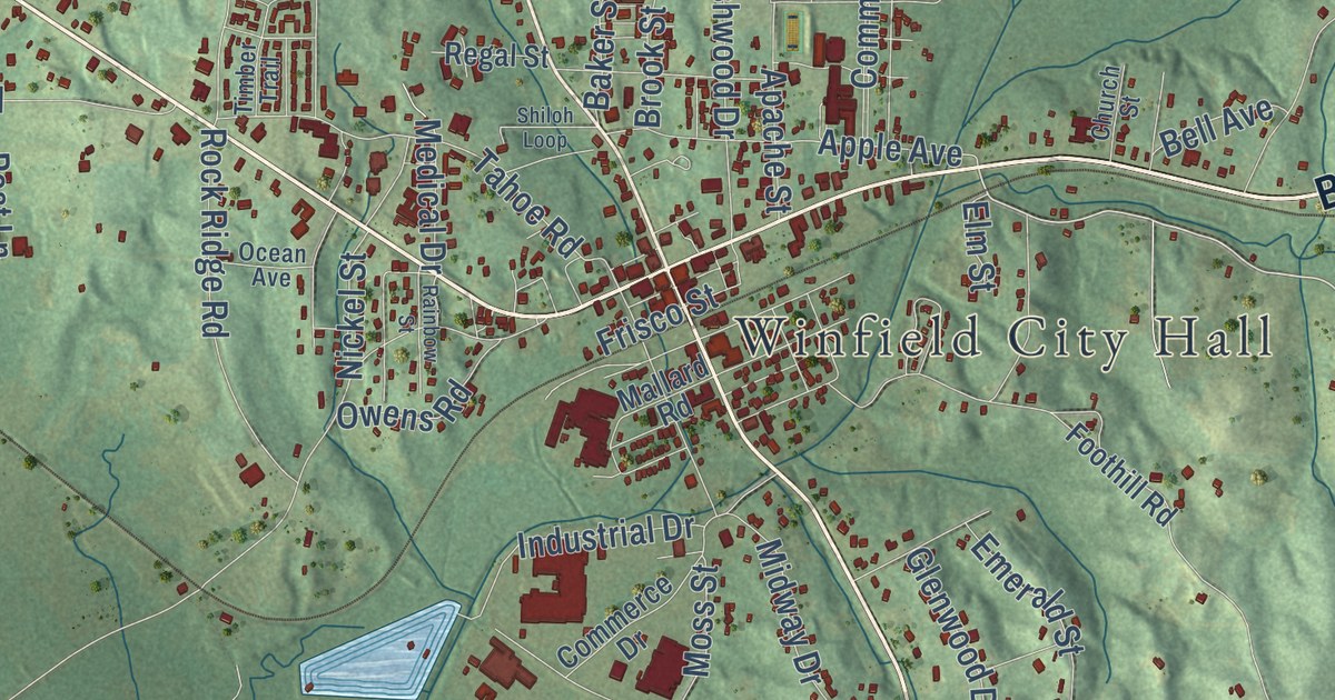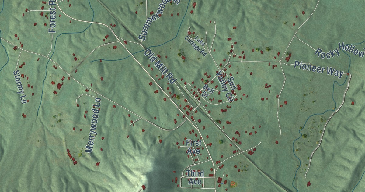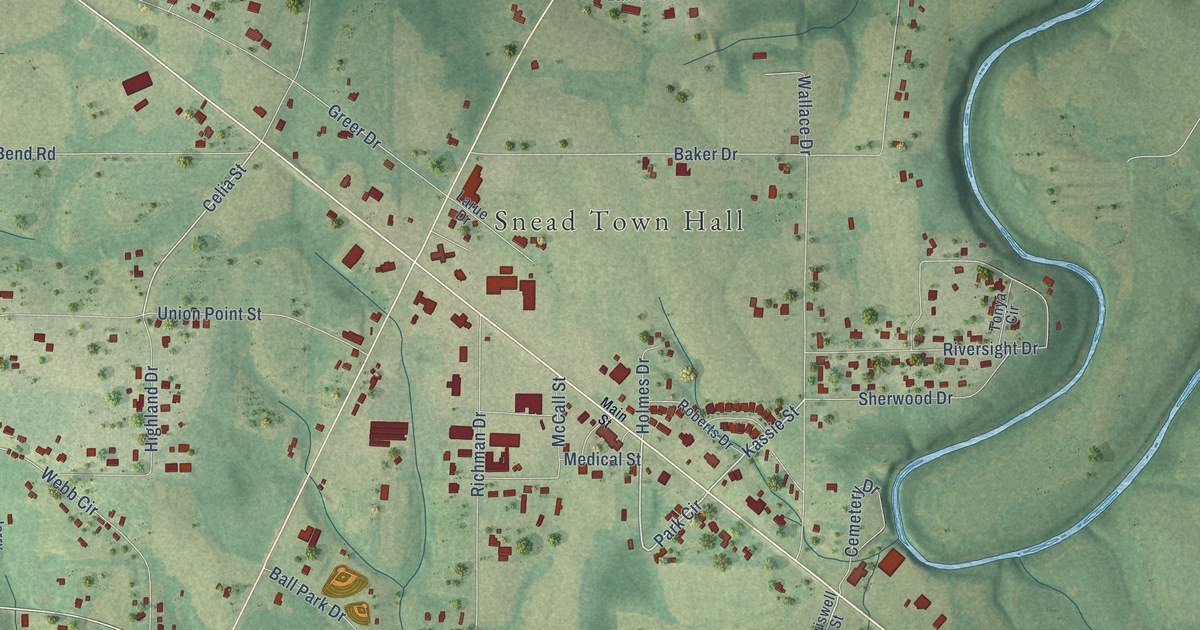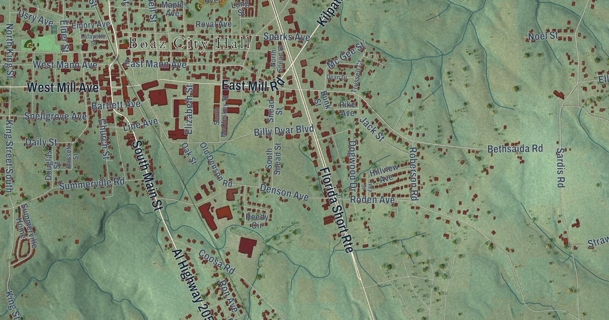
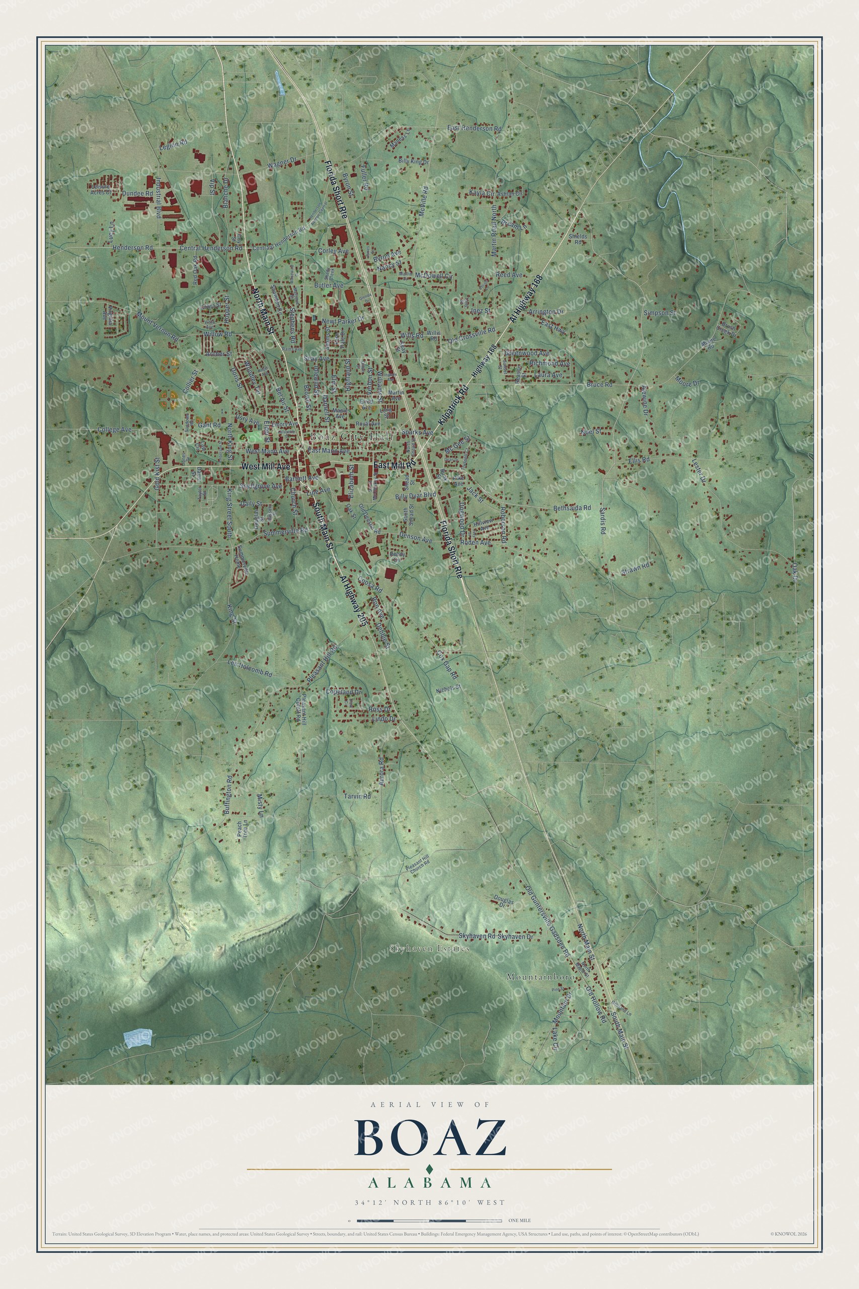
This beautifully detailed map of Boaz, Alabama was created in 2026 using aerial imagery combined with modern topographical, census, street and landmark data. It’s a one-of-a-kind view of Boaz that combines accurate data with a vintage aesthetic. The map shows every building in its true location, many of the roads carry their names, and the shaded topographic relief shows the shape of the land.
Explore an aerial view of Boaz, Alabama
On the map you’ll find Boaz City Hall, Skyhaven Estates, Mountainboro, and Florida Short Rte, along with North Main Street, Kilpatrick Road, South Main Street, East Mill Road, Al Highway 168, Al Highway 205, West Mill Avenue, Bethsaida Road, and more. If you look closely you can even find your house accurately drawn in its correct location. Zoom in on the preview to look for yours.
Did you know this about Boaz, Alabama?
From Encyclopediaofalabama.org: "Long known for having some of the first factory outlet stores in the state, Boaz also is home to a branch of the popular Unclaimed Baggage Center, based in Scottsboro."
Take a closer look at the Boaz map
Street and place names on the Boaz, Alabama map
These names are printed on the map of Boaz, Alabama.
Places: Boaz City Hall, Skyhaven Estates and Mountainboro.
Streets and roads: North Main Street, Kilpatrick Road, South Main Street, East Mill Road, Florida Short Route, Al Highway 168, Al Highway 205, West Mill Avenue, Bethsaida Road, Central Henderson Road, Henderson Road, King Street.
More street names, A to Z
Adams Street, Alewine Drive, Amberson Street, Archer Street, Arrington Drive, Ashlan Circle, Aurora Road, Bartlett Avenue, Bassett Street, Bel Air Street, Billy Dyar Boulevard, Billy King Drive, Blanche Drive, Bream Lane, Brown Street, Bruce Road, Brush Creek Drive, Buffington Road, Bunk Street, Butler Avenue, Byron Avenue, Byron Street, Centraql Henderson Road, Christi Lane, Church Street, Clark Circle, Cobra Street, College Avenue, Collier Street, Coosa Road, Copeland Drive, Corley Avenue, Cox Gap Road, Coy Street, Daily Street, Darnell Street, Davis Street, Dean Drive, Debbie Street, Denson Avenue, Dogwood Drive, Doris Street, Douglas Drive, Douglas Street, Dundee Road, Dylan Street, East Henderson Road, East Highway, East Mann Avenue, Elder Street, Elizabeth Street, Ellis Road, Elm Street, Elrod Avenue, Emory Avenue, Fern Dale Drive, Fuller Road, Gant Road, Gilliland Lane, Glenda Drive, Gold Kist Street, Greenwood Avenue, Henderson Avenue Central, Highland Street, Highway 168, Hillview Avenue, Hopper Street, Idlewild Street, Industrial Boulevard, Inez Street, Ingram Avenue, Ivey Street, Jack Street, James Street, Jones Drive, Kayla Circle, King Street South, Lafayette Street, Lake Circle, Laura Avenue, Law Circle, Lee Holcomb Road, Legion Road, Leisure Acres Court, Lester Drive, Lindo Drive, Line Avenue, Long Street, Lucy Lane, Maness Lane, Maple Avenue, Marjorie Street, Marlin Drive, Martin Avenue, Martin Road North, McDowell Circle, Mc Gee Street, McVille Road, Misty Lane, Moore Drive, Moore Road, Mountain Drive, Mount Vernon Road, Nancy Street, Newt Parker Drive, Nichols Street, Noel Street, North King Street, North Maple Street, North Snead Street, Oak Drive, Oak Street, Old Crossville Road, Old Denson Road, Old Guntersville Gadsden Road, Old Hollow Road, Peach Tree Lane, Pike Avenue, Pine Street, Pleasant Hill Church Road, Pleasant Hill Cutoff Road, Pleasant Hill Road, Rains Avenue, Reason Street, Red Oak Road, Reed Avenue, Reedy Circle, Richmond Avenue, Roberson Road, Roden Avenue, Roger Avenue, Ron Avenue, Ross Drive, Royal Avenue, Sardis Road, Seay Avenue, Seay Street, Shady Creek, Shields Road, Simpson Street, Skyhaven Drive, Skyhaven Road, Snead Street, Snellgrove Avenue, Snowden Circle, South McCleskey Street, South Snead Street, Sparks Avenue, Stephens Road, Strawn Road, Summerville Home, Summerville Road, Sundown Road, Sunset Street, Tarvin Road, Taylor Street, Tony Street, Trussell Court, Usry Avenue, Verbon Street, Vip Street, Virginia Avenue, Vista Avenue, Wagner Drive, West Mann Avenue, Williams Street, Willis Road, Willow Road, Wills Road, Woodley Terrace, Woodwind Drive.
See the Boaz, Alabama map on a wall
The Boaz map as an 18 x 24 inch print in a black frame.

This beautifully detailed map of Boaz makes an attractive addition to your office, library, or den, and it can even be used to teach children the geography and history of the area. It also makes a great gift for anyone with Boaz roots. When you’re done exploring, click here to get your copy of the Boaz map.