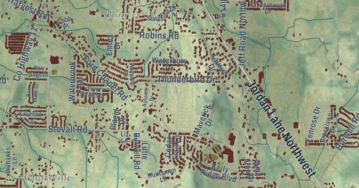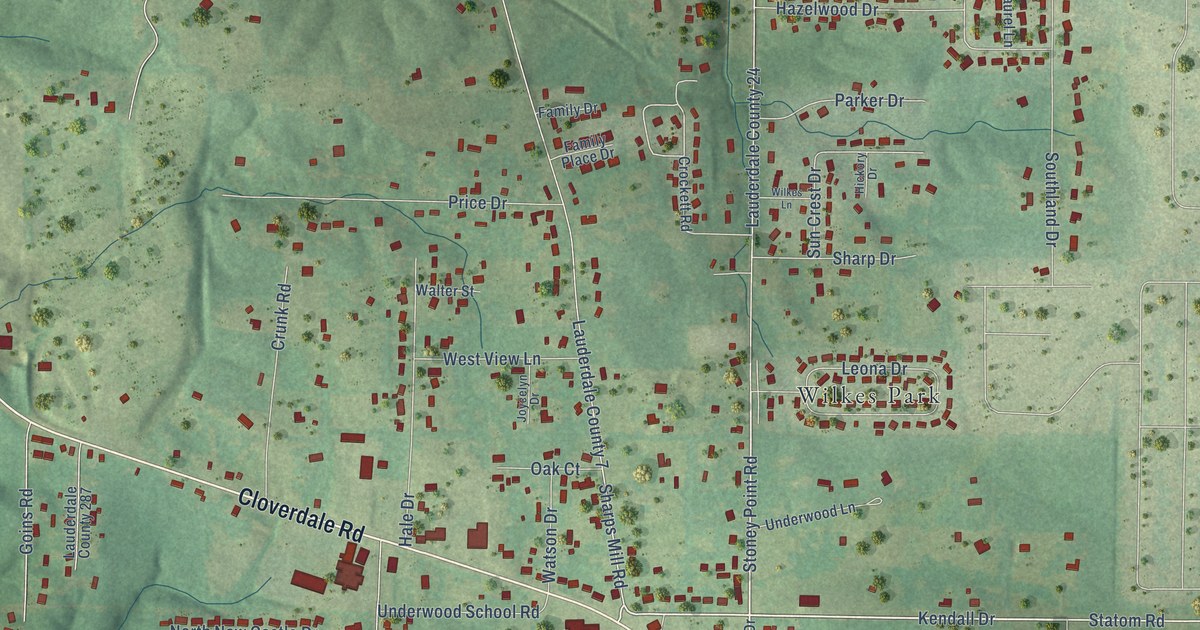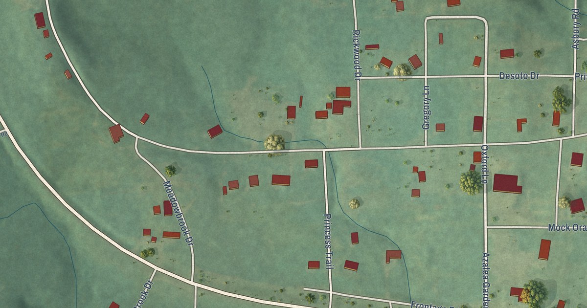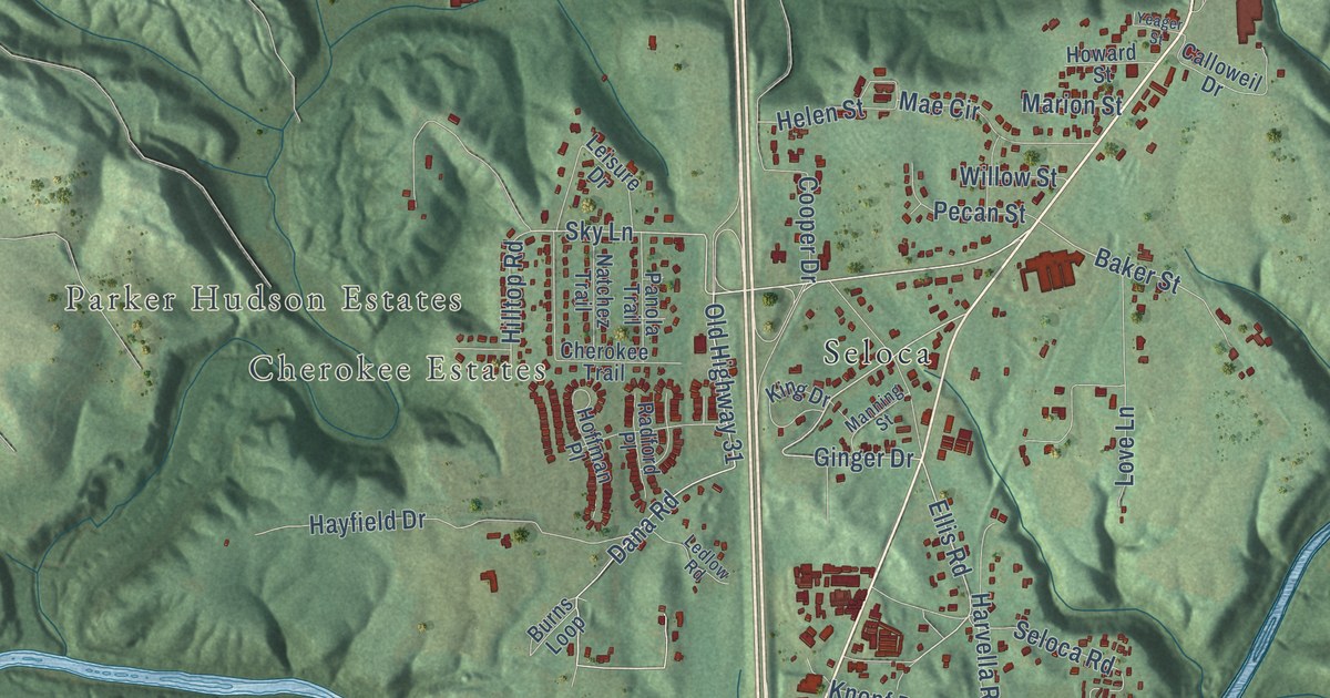
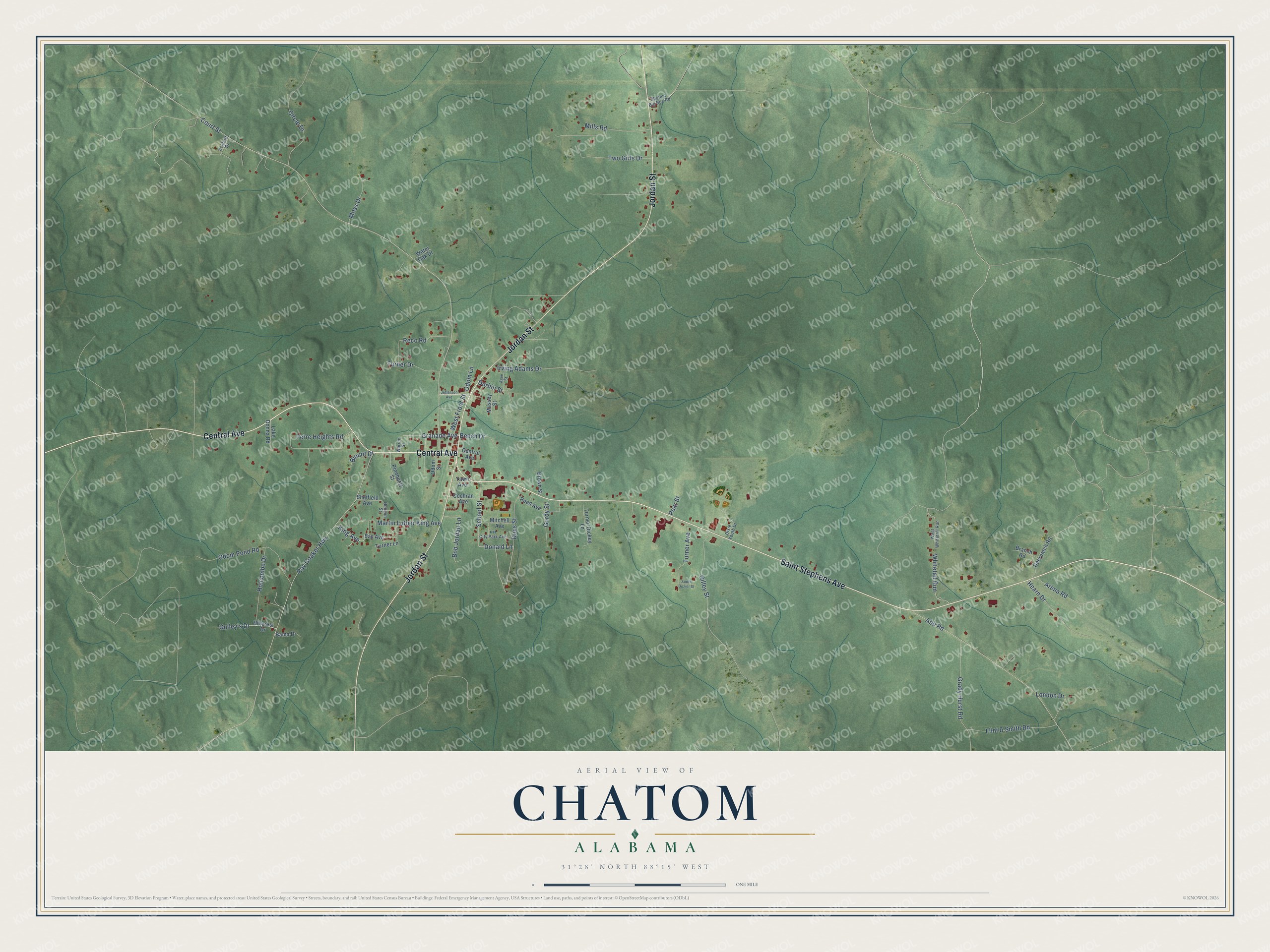
This beautifully detailed map of Chatom, Alabama was created in 2026 using aerial imagery combined with modern topographical, census, street and landmark data. It’s a one-of-a-kind view of Chatom that combines accurate data with a vintage aesthetic. The map shows every building in its true location, many of the roads carry their names, and the shaded topographic relief shows the shape of the land.
Explore an aerial view of Chatom, Alabama
On the map you’ll find Whitetail Run, along with Jordan Street, Central Avenue, Saint Stephens Avenue, Granade Avenue, Court Street, Ray Coaker Highway, Abb Road, Terre Heights Road, Gilley Street, Odom Pond Road, Irving Adams Drive, and more. If you look closely you can even find your house accurately drawn in its correct location. Zoom in on the preview to look for yours.
Did you know this piece of Chatom, Alabama history?
From Encyclopediaofalabama.org: "The county's first high school was built in Chatom in 1916; it included a student dormitory for those who lived too far away to commute every day."
Take a closer look at the Chatom map
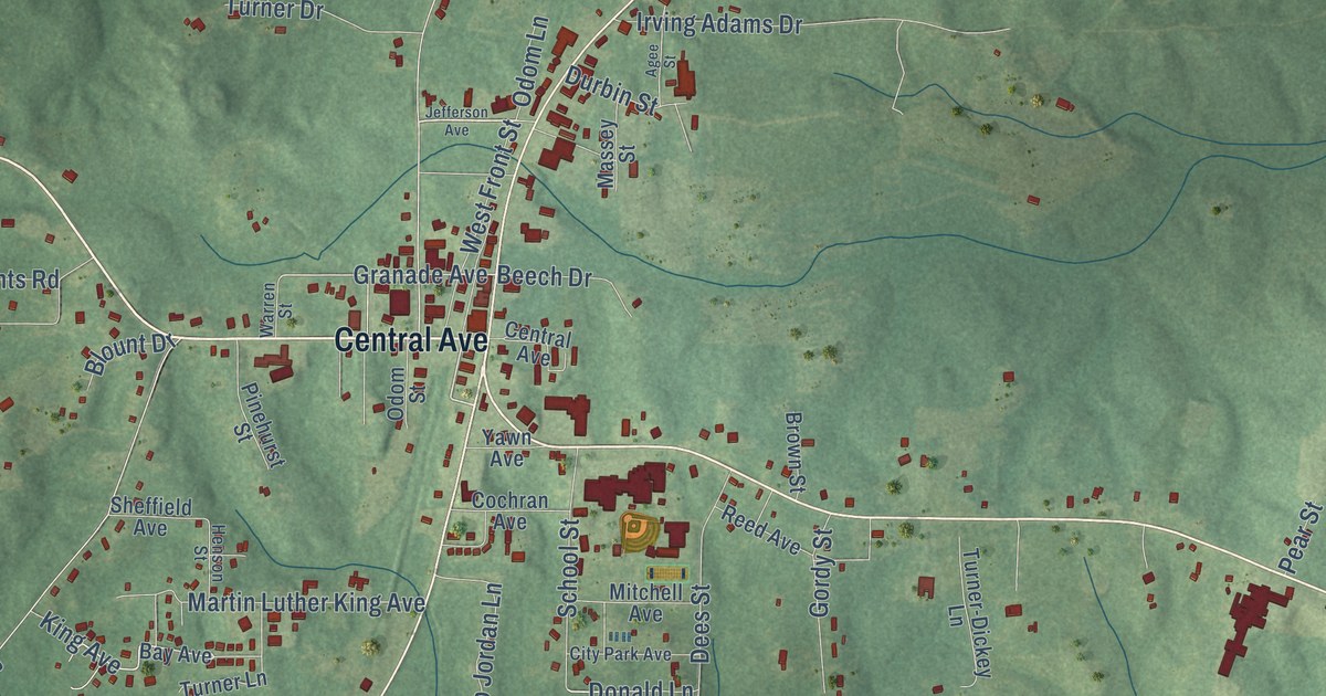
Street names on the Chatom, Alabama map
These names are printed on the map of Chatom, Alabama.
Streets and roads: Jordan Street, Central Avenue, Saint Stephens Avenue, Granade Avenue, Court Street, Ray Coaker Highway, Abb Road, Terre Heights Road, Gilley Street, Odom Pond Road, Whitetail Run, Irving Adams Drive.
More street names, A to Z
Agee Street, Arena Road, Bama Drive, Bay Avenue, Beech Drive, Blount Drive, Bob Jordan Lane, Branch Road, Brown Street, Chatom Big Bee Road, Circle Drive, City Park Avenue, Cochran Avenue, Deerpatch Road, Dees Street, Dixie Youth Drive, Donald Lane, Durbin Street, Eckhoff Drive, Flint & Smith Road, Gordy Street, Grady Hurst Road, Gulley's Drive, Hearn Drive, Henson Street, Hillcrest Drive, Holcombe Drive, Jefferson Avenue, King Avenue, Lake Donna Road, London Drive, Martin Luther King Avenue, Massey Street, Mills Road, Mitchell Avenue, Moss Drive, Odom Lane, Odom Street, Pear Street, Pinehurst Street, Reco Road, Reed Avenue, School Street, Sheffield Avenue, South Dozier Street, Turner-Dickey Lane, Turner Avenue, Turner Drive, Turner Lane, Two Girls Drive, Warren Street, Water Oak Drive, West Front Street, West Whitetail Run, Yawn Avenue.
See the Chatom, Alabama map on a wall
The Chatom map as an 18 x 24 inch print in a black frame.

This beautifully detailed map of Chatom makes an attractive addition to your office, library, or den, and it can even be used to teach children the geography and history of the area. It also makes a great gift for anyone with Chatom roots. When you’re done exploring, click here to get your copy of the Chatom map.