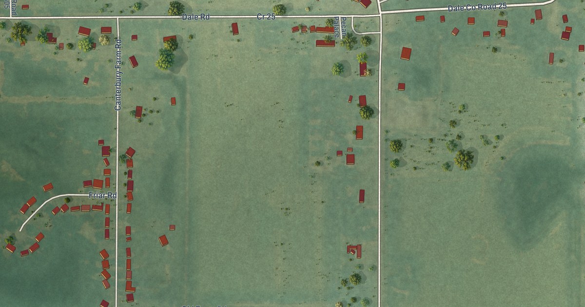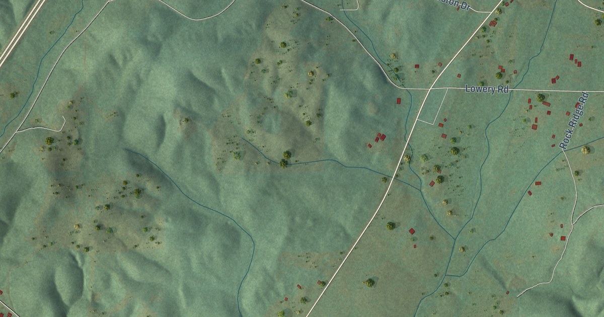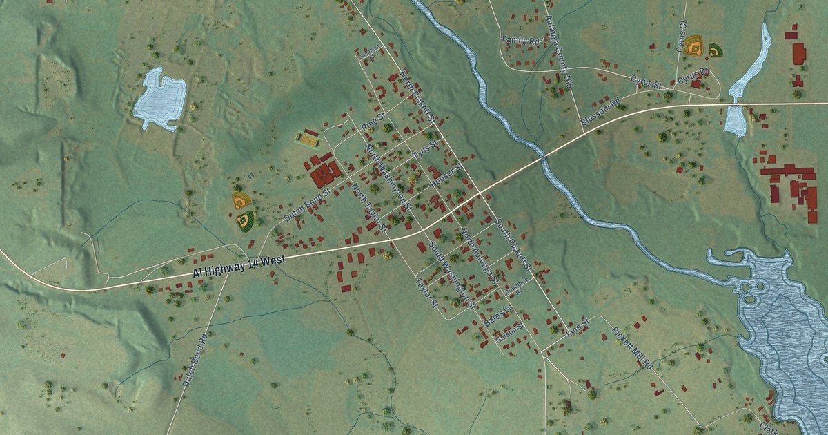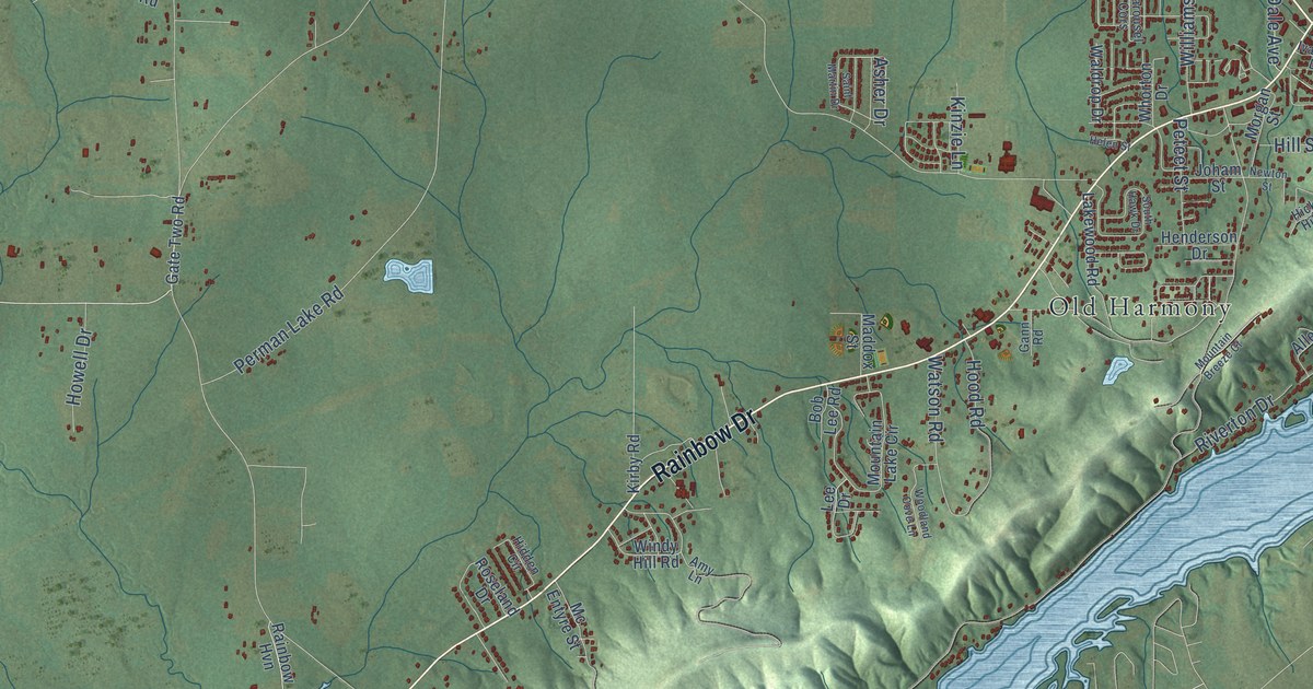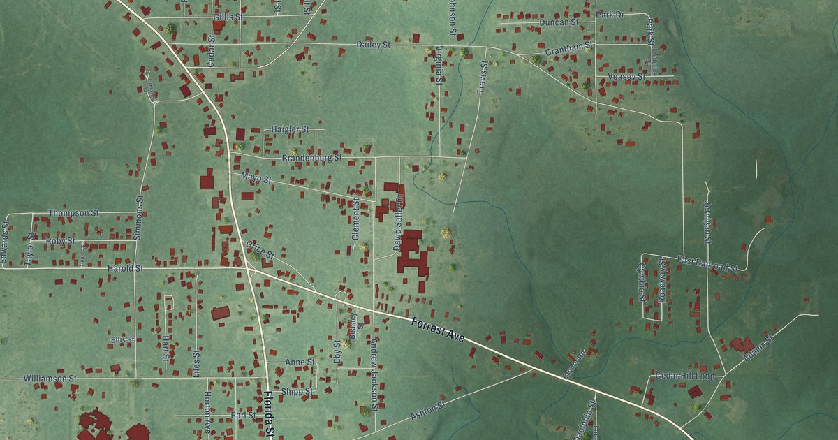
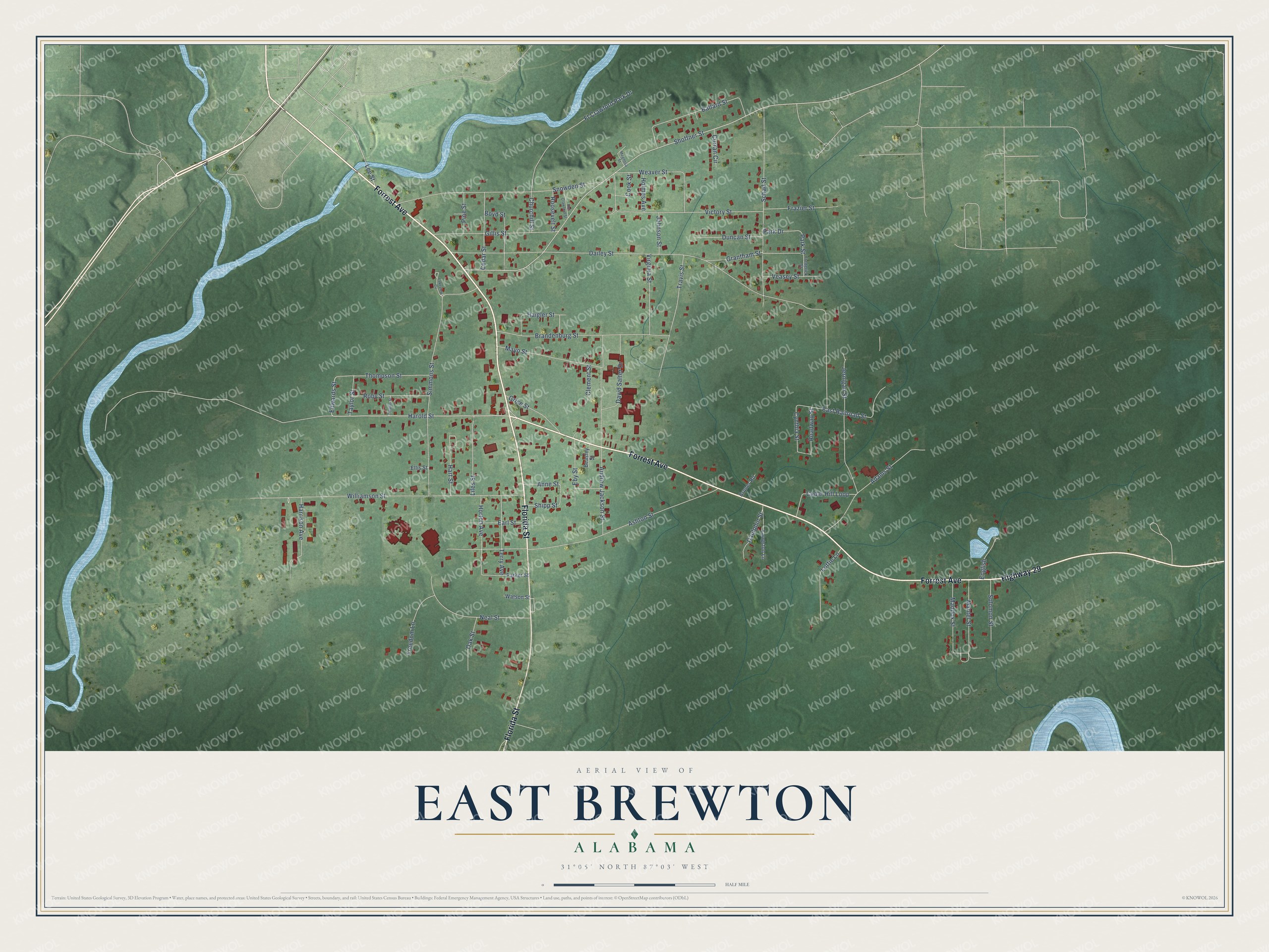
This beautifully detailed map of East Brewton, Alabama was created in 2026 using aerial imagery combined with modern topographical, census, street and landmark data. It's a modern aerial view of East Brewton in Escambia County, Alabama, that combines modern data with a vintage aesthetic. The roads feature printed names, and if you look closely you can find your exact house accurately shown in its correct location.
Explore an aerial view of East Brewton, Alabama
On this map you'll find Florida Street, Forrest Avenue, Highway 29, Harold Street, Edwards Street, Lee Street, Park Street, Roadway Street, Simmons Street, Dailey Street, Shoffner Street, Ashton Street, and more. Each red shape is a building, so zoom in on the preview and look for yours.
Here is a piece of East Brewton history, in the words of the record. The record at encyclopediaofalabama.org puts it this way: "The community of East Brewton grew up initially around Fort Crawford, which was constructed by the U.S. military around 1816 or 1818 (sources differ); the source of its name is unclear."
East Brewton is a city in Escambia County. The Census Bureau counted 2,293 people here in 2020.
Take a closer look at the East Brewton map
Names on this map
These names are printed on this map.
Streets and roads: Florida Street, Forrest Avenue, Highway 29, Harold Street, Edwards Street, Lee Street, Park Street, Roadway Street, Simmons Street, Dailey Street, Shoffner Street, Ashton Street.
More street names, A to Z
Adams Street, Andrew Jackson Street, Anne Street, Ballard Street, Beasley Street, Boyd Street, Brandenburg Street, Bruner Road, Cedar Hill Loop, Cedar Street, Churchill Street, Clement Street, Cook Street, Curran Circle, Cynthia Street, Daulphin Street, David Salter Drive, Duncan Street, Earl Street, East Railroad Street, Eby Street, Ellis Street, English, Fort Crawford Street, Frazier Street, Frederick Street, Freedom Lane, Ft Crawford Park Drive, Gillis Street, Grantham Street, Grice Street, Haigler Street, Harrison Avenue, Hart Street, Holmes Avenue, Horton Avenue, Jernigan Street, Johnson Street, Lakeview Circle, Langston Lane, Liles Street, Lottie Lane, Maddox Street, Magnolia Street, Mantel Street, Mayo Street, Neal Street, Oak Street, Park Drive, Parker Street, Pine Street, Roby Street, Roosevelt Street, Schad Street, Shipp Street, Snowden Street, Solomon Street, Taylor Street, Terry Avenue, Thompson Street, Tippins Street, Travis Street, Veasey Street, Victory Street, Virginia Street, Watson Street, Weaver Street, Williamson Street.
Created by KNOWOL in 2026. The buildings are small red shapes, the roads carry their printed names, and shaded relief shows the shape of the land. The title panel reads "AERIAL VIEW OF EAST BREWTON ALABAMA" with 31°05' NORTH 87°03' WEST.
It suits a den, a classroom or a front hall, and it makes a gift for anyone with East Brewton roots. Open the preview and find the block you know. See sizes and frames for the East Brewton map.