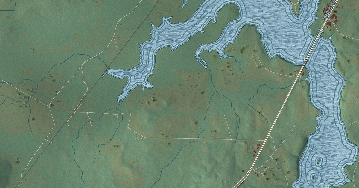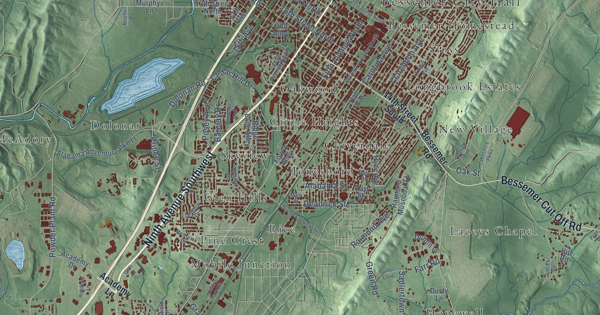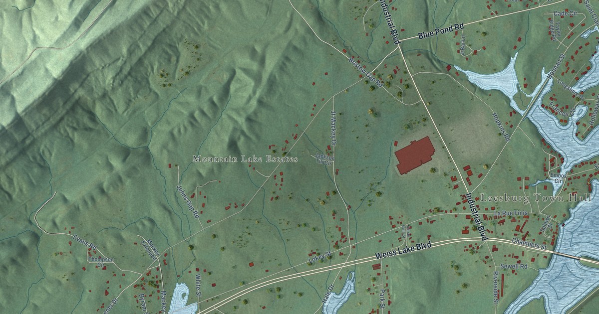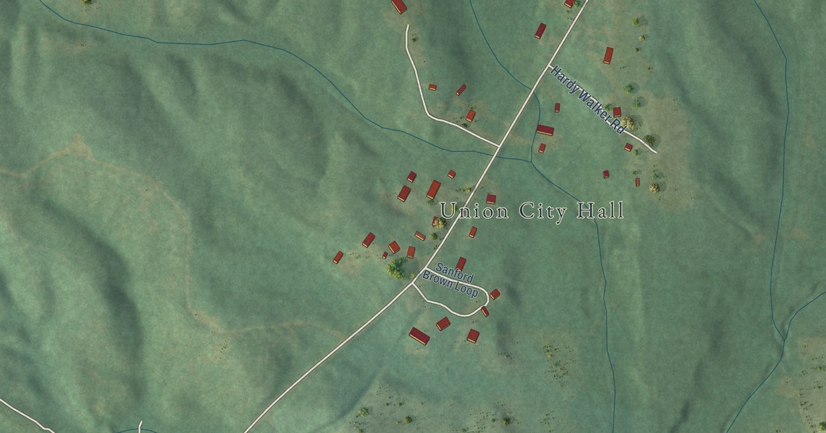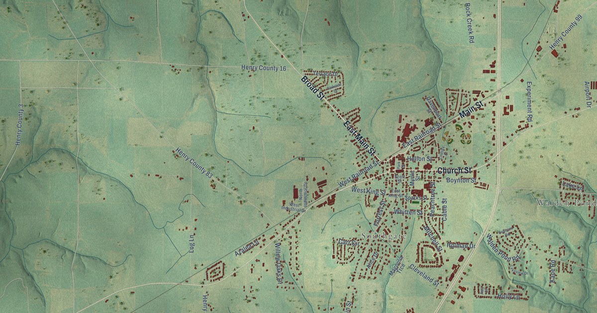
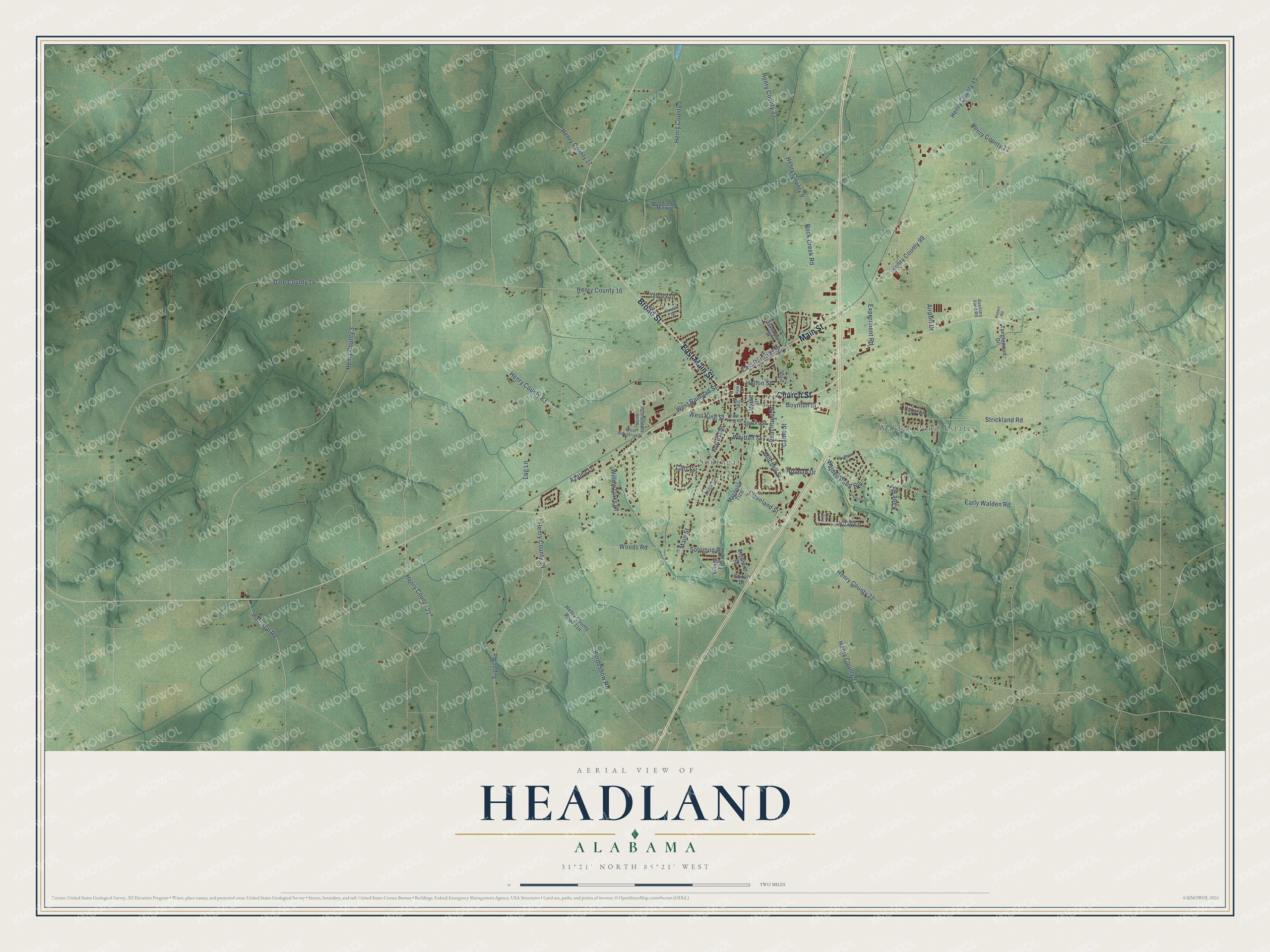
This beautifully detailed map of Headland, Alabama was created in 2026 using aerial imagery combined with modern topographical, census, street and landmark data. It's a modern aerial view of Headland in Henry County, Alabama, that combines modern data with a vintage aesthetic. The roads feature printed names, and if you look closely you can find your exact house accurately shown in its correct location.
Explore an aerial view of Headland, Alabama
On this map you'll find Walden Pond Estates, Southgate, East Main Street, Broad Street, Main Street, Church Street, Peachtree Street, West King Street, Henry County 39, Suggs Road, Early Walden Road, Burdeshow Road, and more. Each red shape is a building, so zoom in on the preview and look for yours.
Here is a piece of Headland history, in the words of the record. The record at encyclopediaofalabama.org puts it this way: "Headland Public Square Headland was founded in 1871 on land owned by physician James Joshua Head; the first post office was established on October 10 of the same year."
Headland is a city in Henry County. The Census Bureau counted 4,973 people here in 2020.
Take a closer look at the Headland map
Names on this map
These names are printed on this map.
Places: Walden Pond Estates and Southgate.
Streets and roads: East Main Street, Broad Street, Main Street, Church Street, Peachtree Street, West King Street, Henry County 39, Suggs Road, Early Walden Road, Burdeshow Road, Boynton Street, Strickland Road.
More street names, A to Z
Airport Drive, Airport Road, Alice Drive, Asia Court, Auxiliary Field Road, Azalea Lane, Cable Street, Carr Circle, Cleveland Street, Dale County 14, Davenport Street, East King Street, East Railroad Street, Experiment Road, Forrest Street, Harrison Road, Henry County 3, Henry County 5, Henry County 9, Henry County 11, Henry County 13, Henry County 16, Henry County 17, Henry County 21, Henry County 22, Henry County 33, Henry County 45, Henry County 83, Henry County 99, Henry County Road 114, Highland Drive, Hollon Street, Holly Lane, Holman Drive, Kane Road, Lake Lane, Lakeview Drive, Lindsey Street, Log Lane, Magnolia Trce, McClenney Mill Road, Mitchell Street, Myrtle Street, North Industrial Drive, Parkside Drive, Park Street, Rebecca Road, Rock Creek Road, Scott Street, Shirah Drive, Solomon Road, Sparks Street, Tanglewood Drive, Terrace Drive, Village Lane, Walden Pond Road, West Industrial Drive, West Railroad Street, Whitten Street, Willow Oaks Drive, Woods Road.
Created by KNOWOL in 2026. The buildings are small red shapes, the roads carry their printed names, and shaded relief shows the shape of the land. The title panel reads "AERIAL VIEW OF HEADLAND ALABAMA" with 31°21' NORTH 85°21' WEST.
It suits a den, a classroom or a front hall, and it makes a gift for anyone with Headland roots. Open the preview and find the block you know. See sizes and frames for the Headland map.