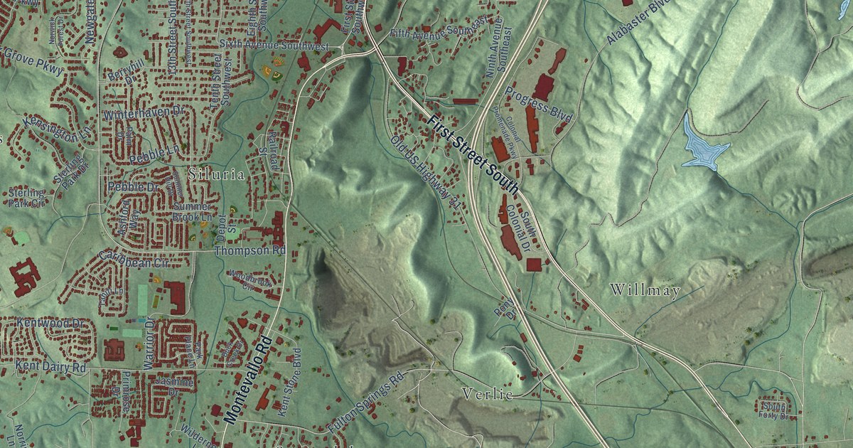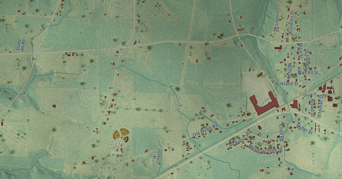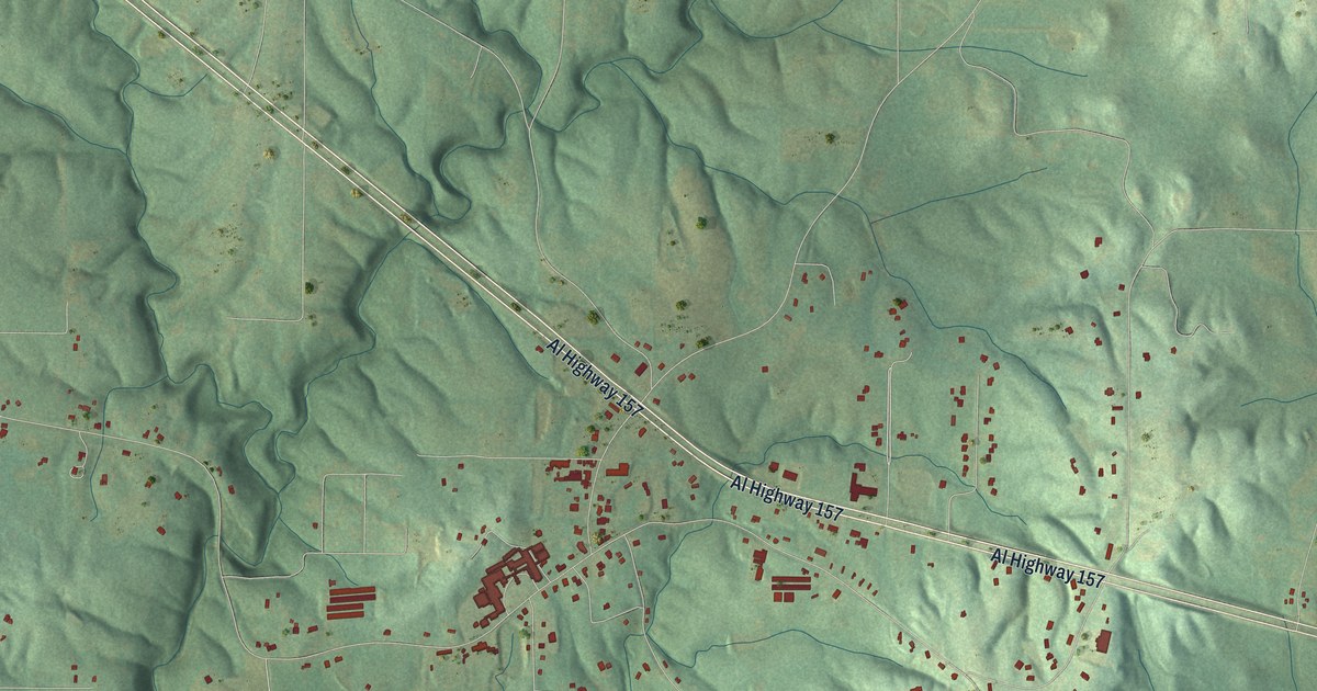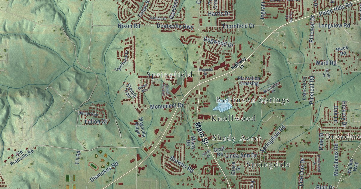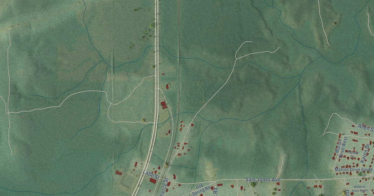
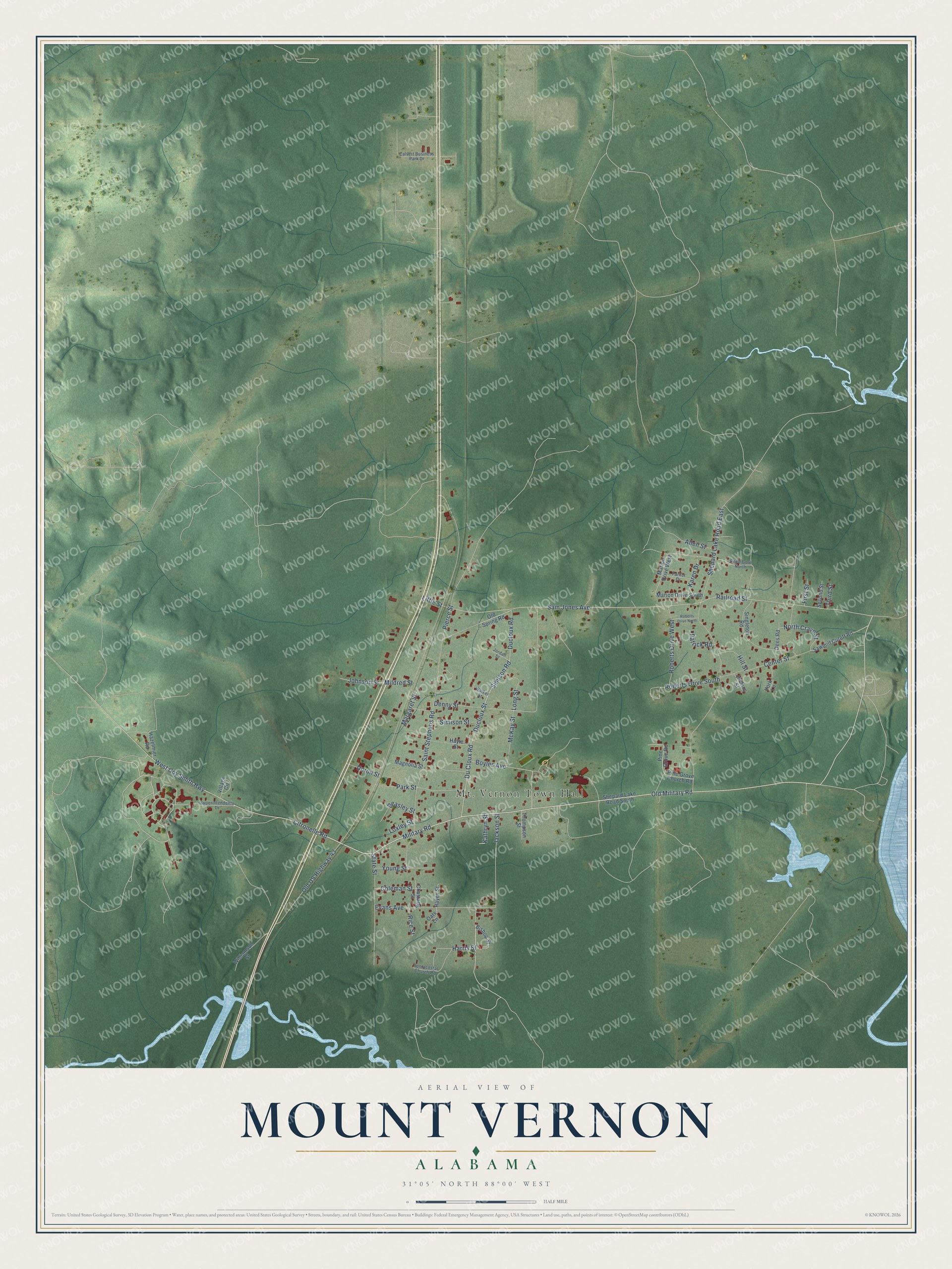
This beautifully detailed map of Mount Vernon, Alabama was created in 2026 using aerial imagery combined with modern topographical, census, street and landmark data. It's a modern aerial view of Mount Vernon in Mobile County, Alabama, that combines modern data with a vintage aesthetic. The roads feature printed names, and if you look closely you can find your exact house accurately shown in its correct location.
Explore an aerial view of Mount Vernon, Alabama
On this map you'll find Old Military Road, Military Road, Boyles Avenue, Sam Jones Avenue, Harris Street, Ducloux Road, Du Cloux Road, Simison Road, Citronelle Road, Ducloux Street, Long Street, North Crave Street, and more. Each red shape is a building, so zoom in on the preview and look for yours.
Here is a piece of Mount Vernon history, in the words of the record. The record at encyclopediaofalabama.org puts it this way: "Mount Vernon Barracks The settlement that became the town of Mount Vernon arose near Fort Stoddert, which was built on the Mobile River by the federal government in 1799 to protect what was then the nation's southern border."
Mount Vernon is a town in Mobile County. The Census Bureau counted 1,354 people here in 2020.
Take a closer look at the Mount Vernon map
Names on this map
These names are printed on this map.
Places: Mt. Vernon Town Hall.
Streets and roads: Old Military Road, Military Road, Boyles Avenue, Sam Jones Avenue, Harris Street, Ducloux Road, Du Cloux Road, Simison Road, Citronelle Road, Ducloux Street, Long Street, North Crave Street.
More street names, A to Z
Allen Street, Beasley Street, Bishop Street, Calvert Business Park Drive, Center Street, Chastang Street, Coleman Street, Dees Road, Denny Street, Evans Avenue, First Street, Hayes Street, Hayle Street, Hazelmier Road, Hill Street, Jackson Street, Jenkins Street, Johnson Street, Jordan Street, Karen Drive, Kathryn Street, Little Street, Loxley Street, Magnolia Street, Margaret Street, Marion Drive South, Marion Drive West, McKay Street, Mildred Street, Oats Lane, Old Spring Road, Old US Highway 43, Parker Drive, Park Street, Patrick Road, Pentacostal Church Road, Pierce Street, Pine Grove Church Road, Pine Grove Road, Railroad Street, Reed Gore North, Rice Street, Roberts Drive North, Roberts Drive South, Roberts Drive West, Saint Stephens Road, Sawmill Cutoff Road, Second Street, Shepard Lake Road East, Shepard Lake Road South, Simison Street, Singleton Road, State Street, Superintendents Drive, Third Street, Thompson Street, Unruh Street, Village Circle, Walker Street, West Coy Smith Highway, Williamson Street, York Lane, Young Street.
Created by KNOWOL in 2026. The buildings are small red shapes, the roads carry their printed names, and shaded relief shows the shape of the land. The title panel reads "AERIAL VIEW OF MOUNT VERNON ALABAMA" with 31°05' NORTH 88°00' WEST.
It suits a den, a classroom or a front hall, and it makes a gift for anyone with Mount Vernon roots. Open the preview and find the block you know. See sizes and frames for the Mount Vernon map.