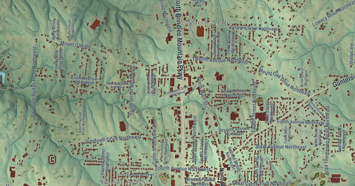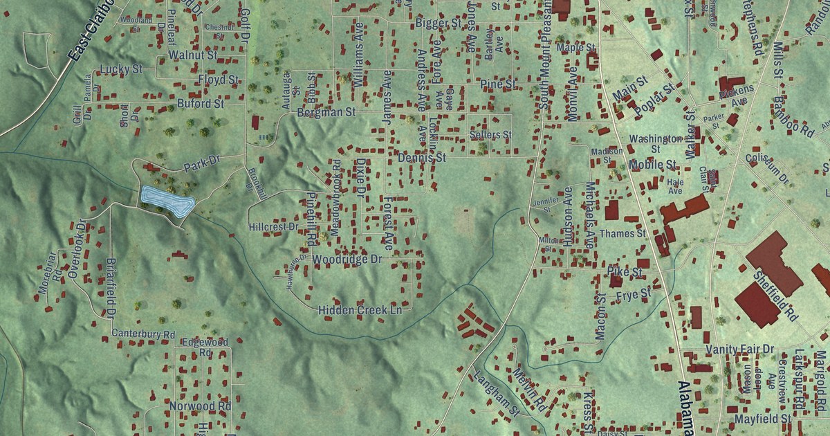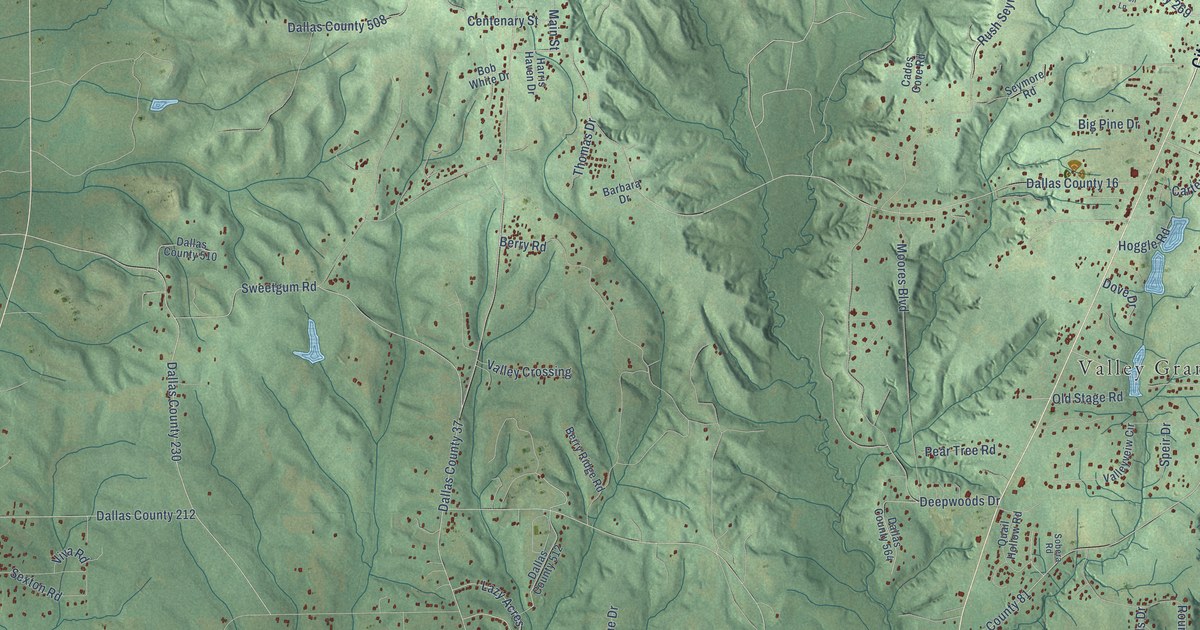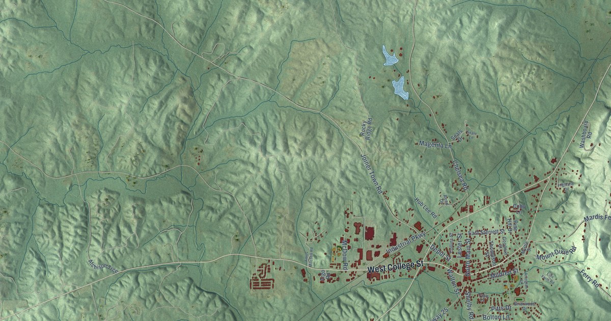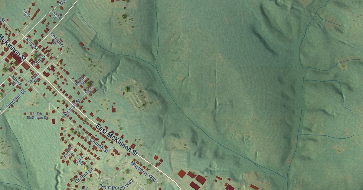
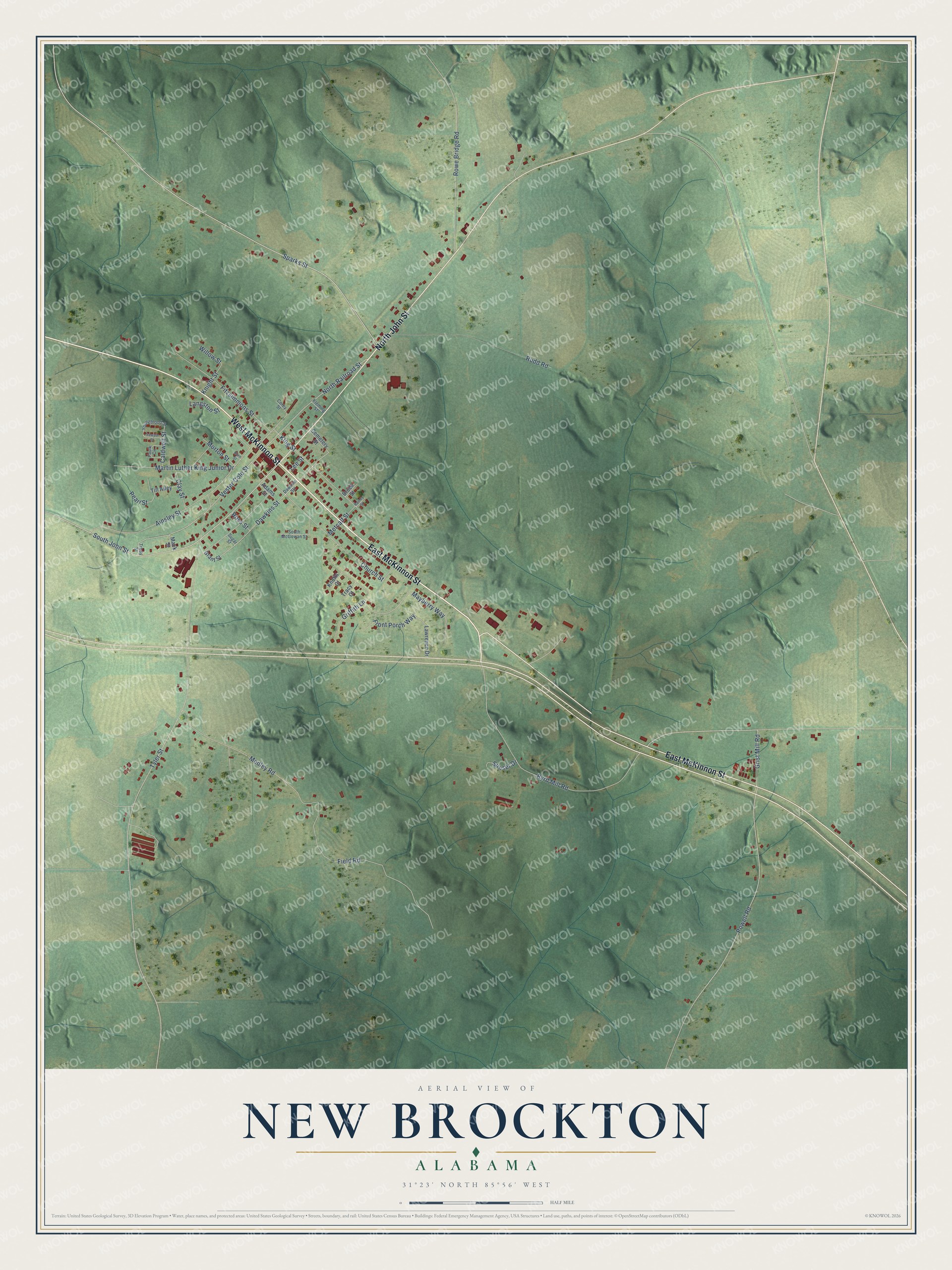
This beautifully detailed map of New Brockton, Alabama was created in 2026 using aerial imagery combined with modern topographical, census, street and landmark data. It's a modern aerial view of New Brockton in Coffee County, Alabama, that combines modern data with a vintage aesthetic. The roads feature printed names, and if you look closely you can find your exact house accurately shown in its correct location.
Explore an aerial view of New Brockton, Alabama
On this map you'll find East McKinnon Street, West McKinnon Street, North John Street, South John Street, North Railroad Street, Sparks Street, Vester Cole Street, Byrd Mill Road, Dawkins Street, Tyler Street, Ainsley Street, Field Road, and more. Each red shape is a building, so zoom in on the preview and look for yours.
New Brockton has a story worth telling. The record at encyclopediaofalabama.org puts it this way: "Coffee County Schools maintains one public high school and one public elementary school in New Brockton."
New Brockton is a town in Coffee County. The Census Bureau counted 1,428 people here in 2020.
Take a closer look at the New Brockton map
Names on this map
These names are printed on this map.
Streets and roads: East McKinnon Street, West McKinnon Street, North John Street, South John Street, North Railroad Street, Sparks Street, Vester Cole Street, Byrd Mill Road, Dawkins Street, Tyler Street, Ainsley Street, Field Road.
More street names, A to Z
Adams Street, Brock Street, Caldwell Street, Cemetery Street, Church Street, Clay Street, Corey Street, Dawkins Str, Faulk Circle, Fitzsimmons Street, Fleming Street, Front Porch Way, Grant Street, Griffith Lane, Grist Mill Road, Horn Street, King Street, Knight Street, Knotts Court, Langston Street, Lawrence Drive, Lee Street, Mack Street, Martin Luther King Junior Drive, Mayberry Way, Medley Road, Metcalf Street, Morton Street, Pearl Street, Powell Road, Rainey Street, Ross Street, Rowe Bridge Road, Rudd Road, Sawyer Street, South McGowan Street, Sugar Street, Sunset Drive, Till Alley, Tracy Court, Trudy Street, Willow Street, Youngblood Street.
Created by KNOWOL in 2026. The buildings are small red shapes, the roads carry their printed names, and shaded relief shows the shape of the land. The title panel reads "AERIAL VIEW OF NEW BROCKTON ALABAMA" with 31°23' NORTH 85°56' WEST.
It looks right in a kitchen, an office or a den, and it's a gift for anyone who grew up in New Brockton or moved away. Open the preview and find your street. See sizes and frames for the New Brockton map.