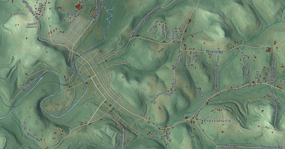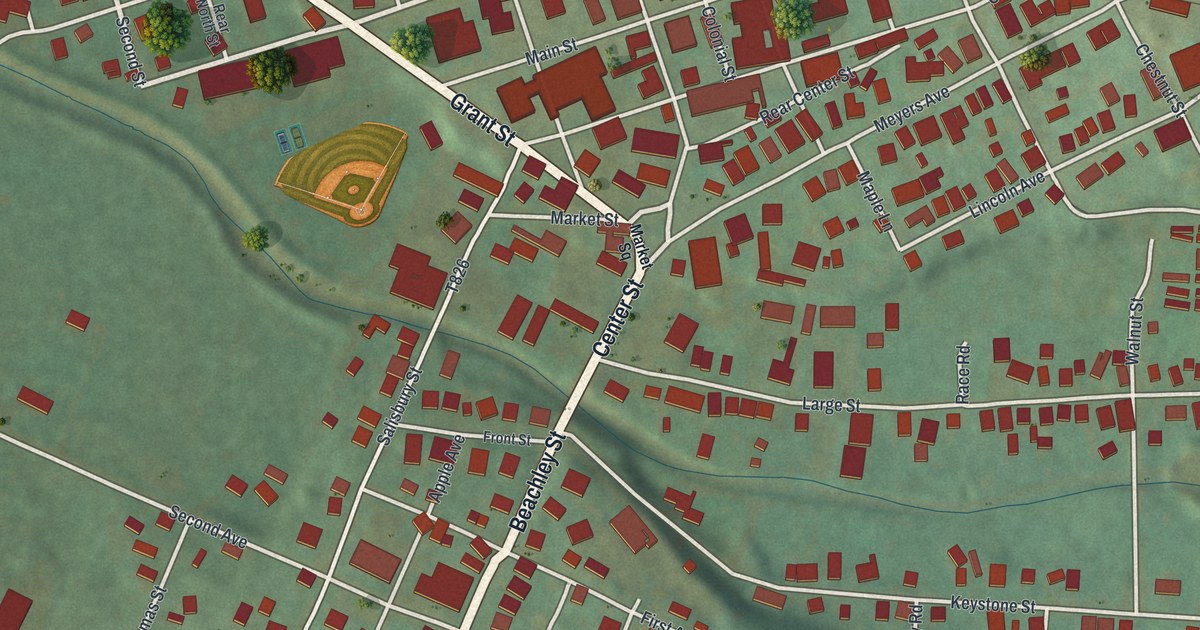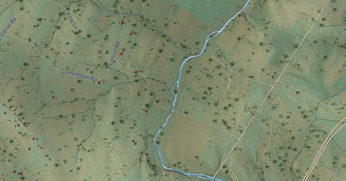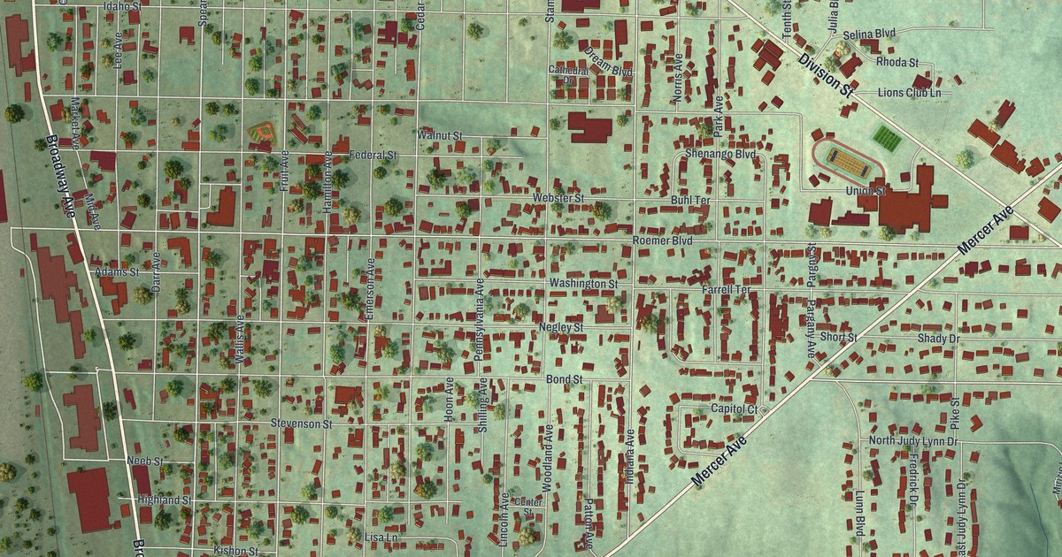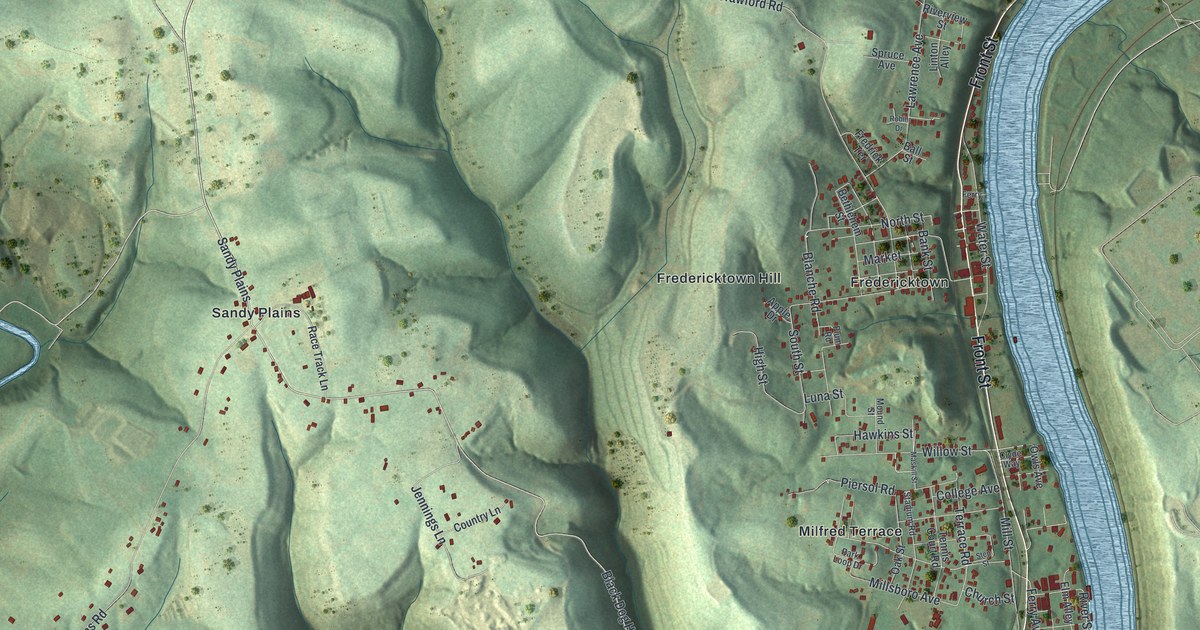
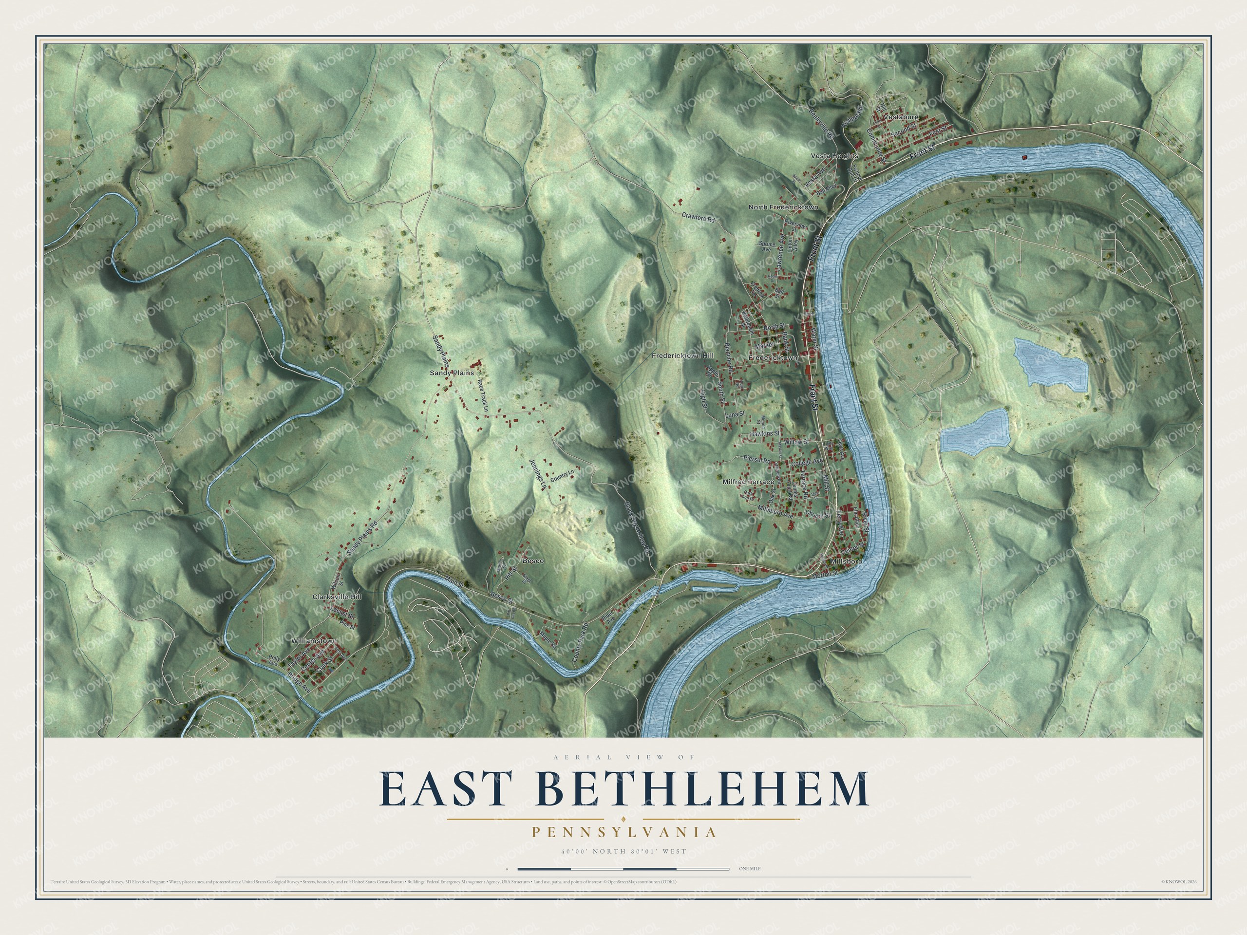
This beautifully detailed map of East Bethlehem, Pennsylvania was created in 2026 using aerial imagery combined with modern topographical, census, street and landmark data. It's a modern aerial view of East Bethlehem in Washington County, Pennsylvania, that combines modern data with a vintage aesthetic. The roads feature printed names, and if you look closely you can find your exact house accurately shown in its correct location.
Explore an aerial view of East Bethlehem, Pennsylvania
On this map you'll find Besco, Clarksville Hill, Fredericktown, Fredericktown Hill, Milfred Terrace, Millsboro, North Fredericktown, Sandy Plains, Vesta Heights, Vestaburg, Williamstown, Front Street, and more. Each red shape is a building, so zoom in on the preview and look for yours.
East Bethlehem has a story worth telling. The East Bethlehem Township puts it this way: "EAST BETHLEHEM TOWNSHIP is a First-class Township governed by a board of five (5) elected Commissioners. The township is divided into four districts (wards) which include Vestaburg, Millsboro, Fredericktown and Clarksville (Washington County)."
East Bethlehem is a place in Washington County. The Census Bureau counted 2,311 people here in 2020.
Take a closer look at the East Bethlehem map
Names on this map
These names are printed on this map.
Places: Besco, Clarksville Hill, Fredericktown, Fredericktown Hill, Milfred Terrace, Millsboro, North Fredericktown, Sandy Plains, Vesta Heights, Vestaburg and Williamstown.
Streets and roads: Front Street, Black Dog Hollow Road, Main Street, Terrace Road, River Street, Sandy Plains Road, Crawford Road, Bridge Avenue, Lawrence Avenue, Beallsville Road, Mill Street, Blanche Road.
More street names, A to Z
Apple Drive, Baker Street, Ball Alley, Ball Street, Bank Street, Besco Street, Bethlehem Street, Center Avenue, Center Street, Church Street, Clark Street, Clyde Way, College Avenue, Community Street, Country Lane, County Park Road, Elm Alley, Ferry, Ferry Avenue, First Avenue, First Street, Fishpot Road, Fishpot Run Drive, Fredrick Terrace, Hawkins Street, High Street, Hill Street, Jennings Lane, Linton Alley, Locust Street, Luna Street, Maple Road, Market, Maskill Street, Middle Street, Millsboro Avenue, Morton Street, Mound Street, North Street, Oak Street, Owls Avenue, Park Loop Drive, Piersol Road, Pine Street, Piper Avenue, Pitt Gas Road, Pitt Street, Plum Road, Polly Avenue, Race Track Lane, Riverview Street, Robin Drive, Second Street, South Street, Spruce Avenue, Stadium Road, Stage Street, Step Street, Taylor Avenue, Tennis Court Road, Third Street, Vesta Avenue, Walnut Street, Water Street, Willow Street, Wilson Street.
Created by KNOWOL in 2026. The buildings are small red shapes, the roads carry their printed names, and shaded relief shows the shape of the land. The title panel reads "AERIAL VIEW OF EAST BETHLEHEM PENNSYLVANIA" with 4, 0, °, 0, 0, ', , N, O, R, T, H, , 8, 0, °, 0, 1, ', , W, E, S, T.
It looks right in a kitchen, an office or a den, and it's a gift for anyone who grew up in East Bethlehem or moved away. Open the preview and find your street. See sizes and frames for the East Bethlehem map.