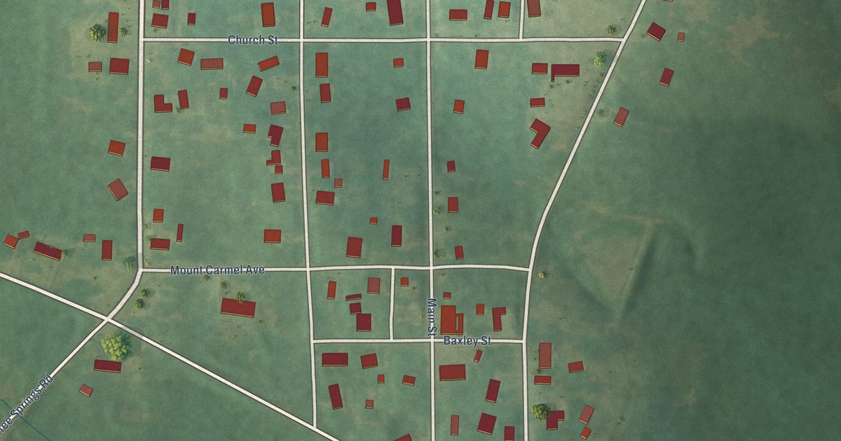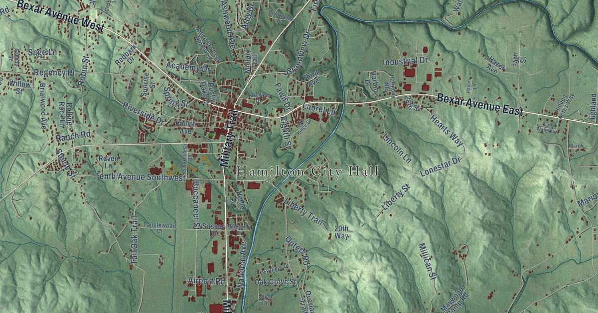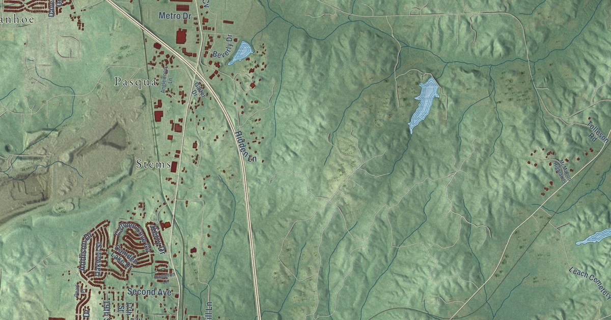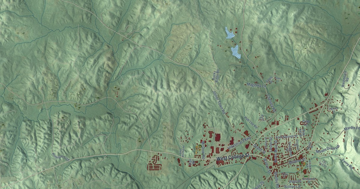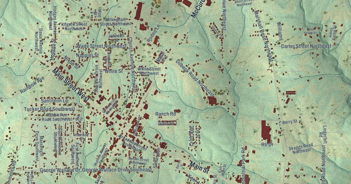
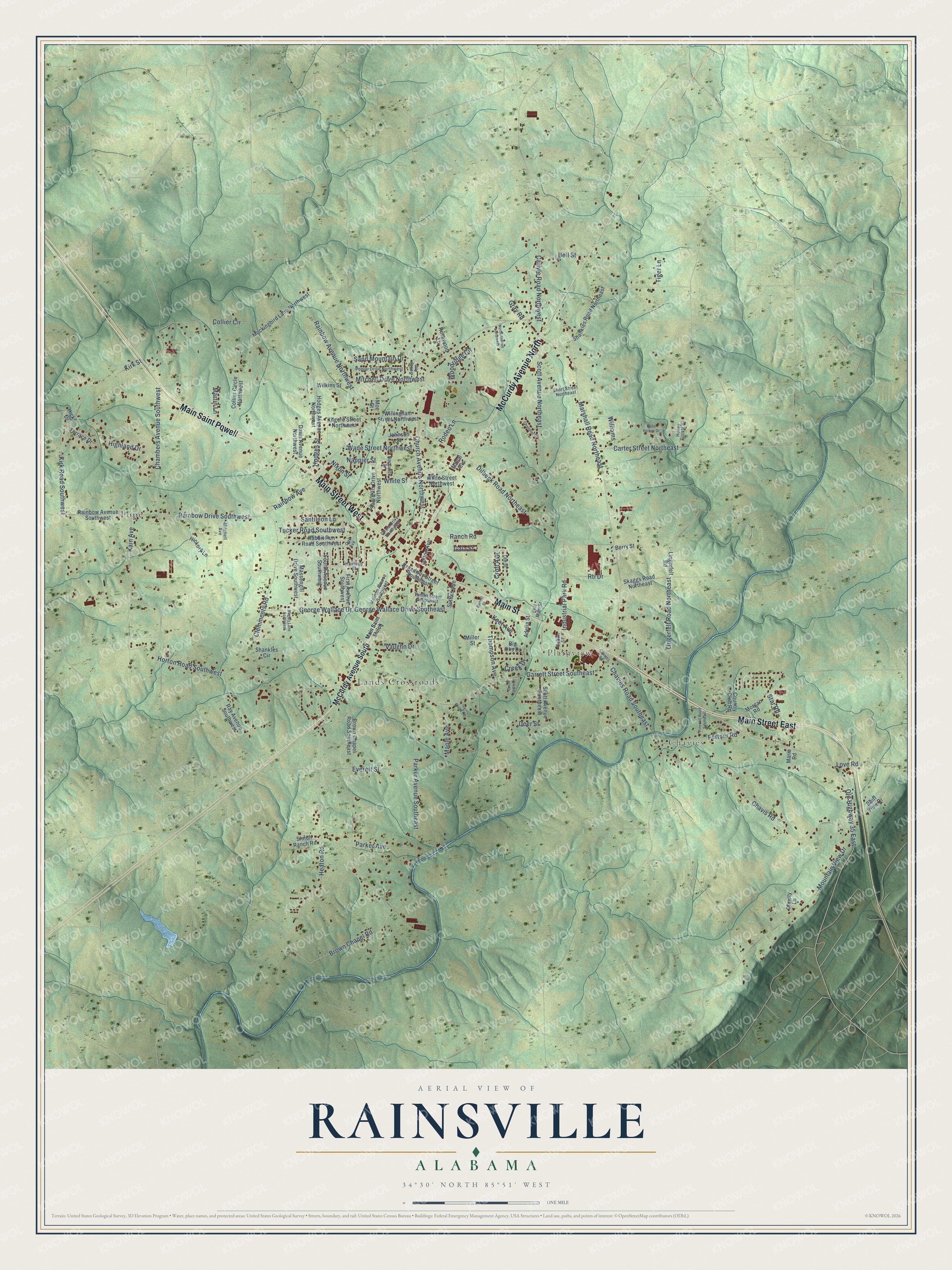
This beautifully detailed map of Rainsville, Alabama was created in 2026 using aerial imagery combined with modern topographical, census, street and landmark data. It's a modern aerial view of Rainsville in DeKalb County, Alabama, that combines modern data with a vintage aesthetic. The roads feature printed names, and if you look closely you can find your exact house accurately shown in its correct location.
Explore an aerial view of Rainsville, Alabama
On this map you'll find Chavies, Plainview, Lands Crossroads, Pope, Main Street West, Main Saint Powell, Main Street, McCurdy Avenue North, Main Street East, Carlyle Road Northwest, Marshall Road Northeast, Bell Street, and more. Each red shape is a building, so zoom in on the preview and look for yours.
Here is a piece of Rainsville history, in the words of the record. The record at encyclopediaofalabama.org puts it this way: "Rainsville was one of several Alabama communities in the path of a series of tornadoes that struck the state on April 27, 2011; houses and businesses, the Rainsville Civic Center, and the high school were severely damaged, and there were at least 32 deaths in DeKalb County."
Rainsville is a city in DeKalb County. The Census Bureau counted 5,505 people here in 2020.
Take a closer look at the Rainsville map
Names on this map
These names are printed on this map.
Places: Chavies, Plainview, Lands Crossroads and Pope.
Streets and roads: Main Street West, Main Saint Powell, Main Street, McCurdy Avenue North, Main Street East, Carlyle Road Northwest, Marshall Road Northeast, Bell Street, Chavies Road Southeast, Rodeo Lane, Rainbow Avenue, Rainbow Drive Southwest.
More street names, A to Z
Adelia Street, Bailey Avenue, Barrett Street, Berry Street, Big Oks Drive, Bluff View Drive, Bobo Hollow Drive, Broadway Street Southeast, Brown Chapel Road, Brown Chapel Road Southeast, Carter Street Northeast, Chambers Avenue Southwest, Chandler Drive, Chavies Road, Chavis Road, Christy Lane, Church Avenue Northwest, Circle Drive Northwest, Clemments Road, Collier Circle, Collier Circle Northwest, Country Club Road, Creek Drive, Creek View Drive, Croft Avenue, Dalton Street, Davis Avenue Northwest, Deer Street, Dilbeck Road Northeast, East Main Street, Everett Street, First Avenue Southwest, Fortner Road, Fourth Avenue Southwest, Gala Street, Garrett Street Southeast, George Wallace Drive, George Wallace Drive Southeast, Gray Road, Harrison Street, Heaton Road, Hickory Lane, Hicks Drive, Highland Drive, Hodges Avenue Northwest, Hodges Street, Honey Suckle Drive, Horton Road Southwest, Industrial Park Road, Ivy Creek Road, Johnson Street, Kain Avenue, Keef Avenue, Kilgore Street Northwest, Kirk Road Southwest, Kirk Street, Lee Street, Lingerfelt Road, Lingerfelt Road Northeast, Lofton Avenue, Love Road, Main Saint Shiloh, Malcom Avenue Southwest, Maple Avenue, Maria Road, Martin Lane, Massengill Drive Southwest, McCurdy Avenue South, Miller Street, Mince Circle, Mitchell Avenue, Mitchell Drive Northwest, Mockingbird Lane Northwest, Moe Street, Morgan Road, Mountain View Drive, Nappier Street, Nixon Street, North Avenue Northwest, Northside Drive, Oak Avenue, Old Highway 35 East, Parker Avenue, Parker Avenue Southeast, Pine Hill Road Southeast, Poplar Drive Northwest, Rabbit Run Road Southwest, Rainbow Avenue Northwest, Rainbow Avenue Southwest, Ranch Road, Ray Avenue Southwest, Rosewood Lane, Rti Drive, Sam Ellis Drive Northwest, Sand Mountain Drive, Santileon Lane, Scott Avenue Northeast, Scott Avenue Southeast, Shankles Circle, Shankles Road Northeast, Shiloh Ranch Road, Short Street Northeast, Skaggs Road Northeast, Star Road, Suttles Avenue, Terrace Drive, Thompson Avenue, Tiger Lane, Tucker Road Southwest, Tumlin Street Southwest, Vaughn Drive, Wade Street Northwest, White Street, White Street Northwest, Wigley Lane Northwest, Wilkins Street, Williams, Willingham Street Northwest, Woodridge Circle.
Created by KNOWOL in 2026. The buildings are small red shapes, the roads carry their printed names, and shaded relief shows the shape of the land. The title panel reads "AERIAL VIEW OF RAINSVILLE ALABAMA" with 34°30' NORTH 85°51' WEST.
It suits a den, a classroom or a front hall, and it makes a gift for anyone with Rainsville roots. Open the preview and find the block you know. See sizes and frames for the Rainsville map.