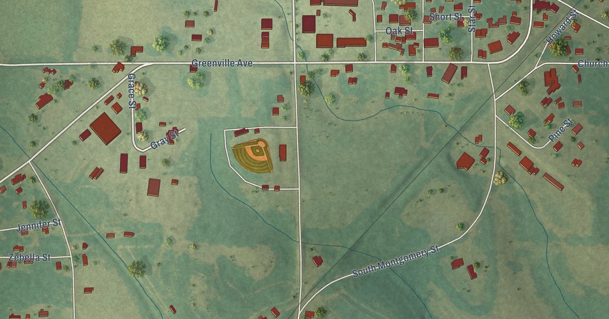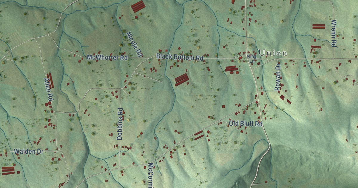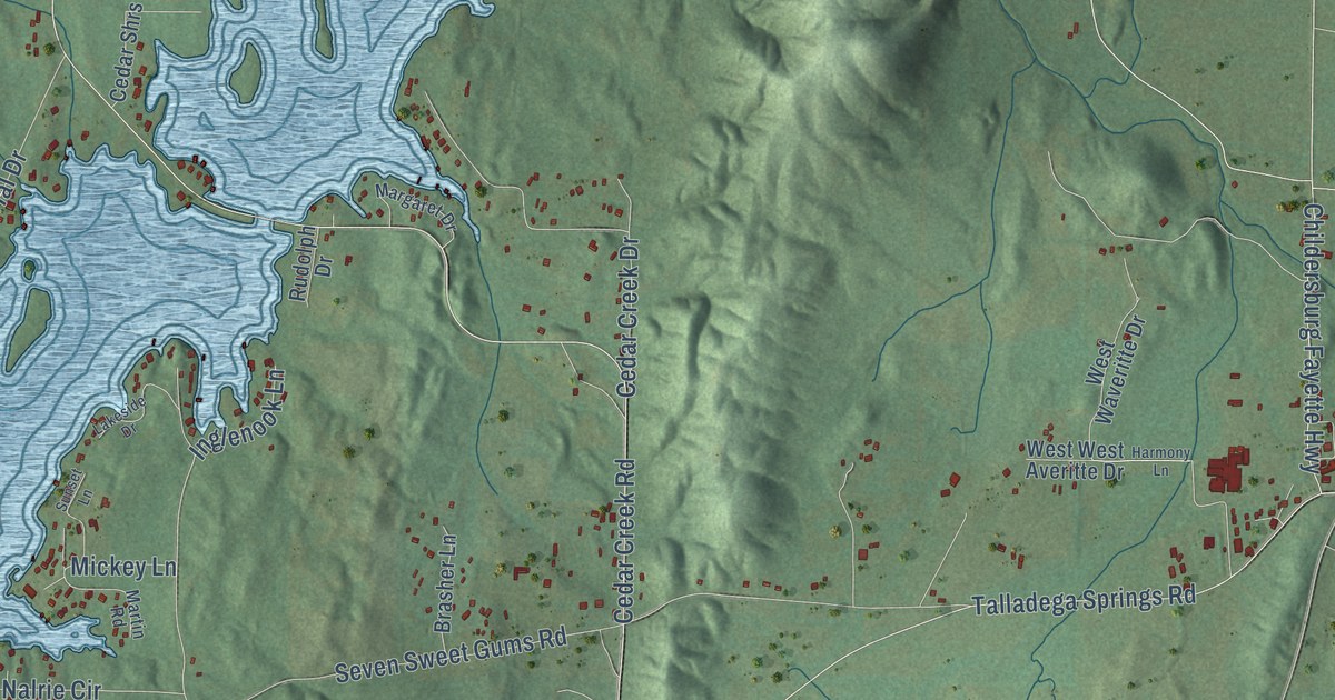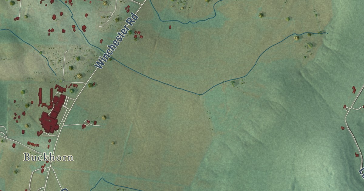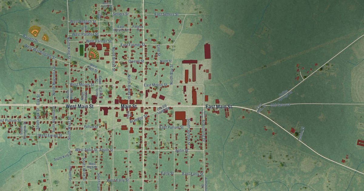
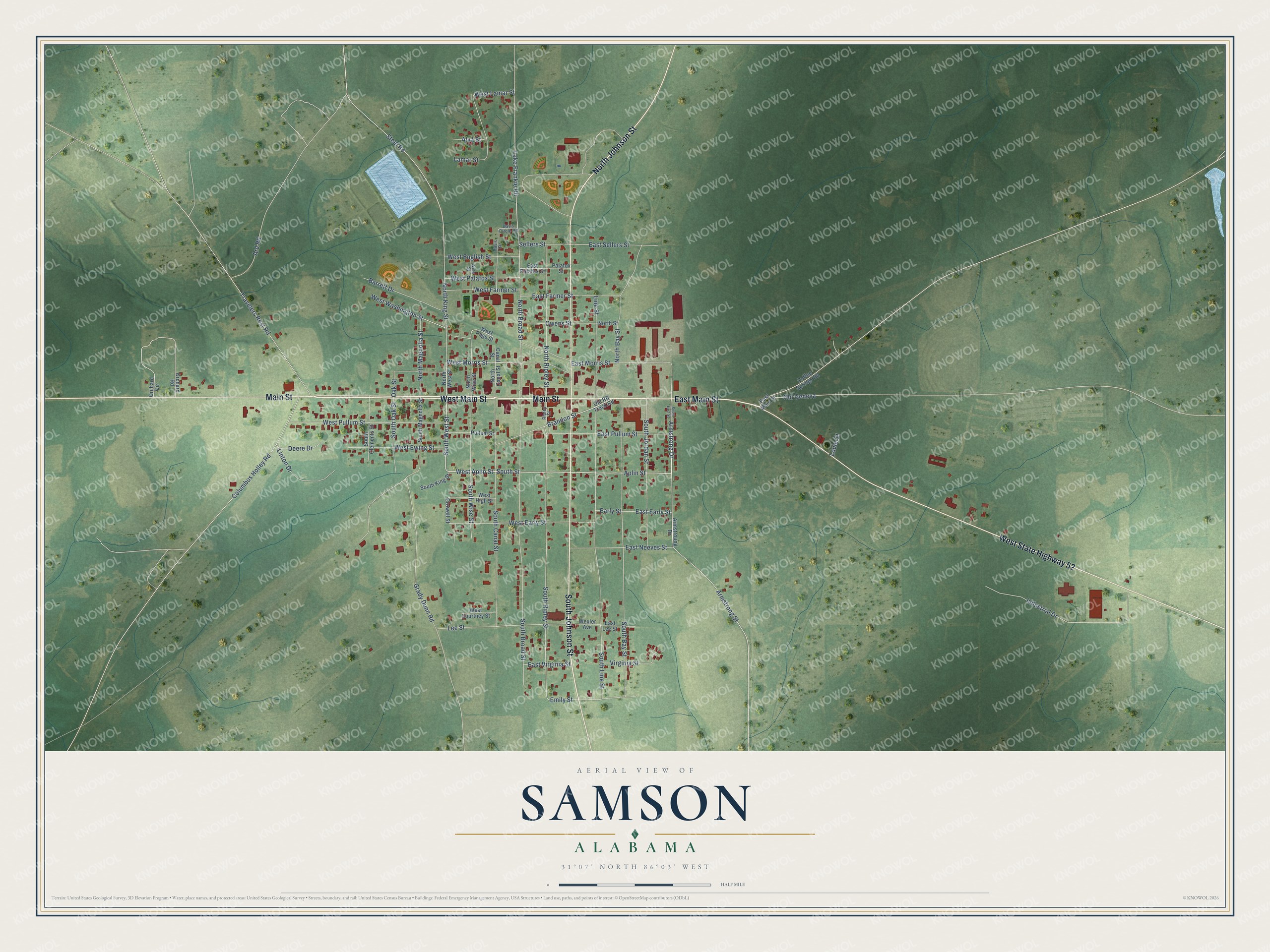
This beautifully detailed map of Samson, Alabama was created in 2026 using aerial imagery combined with modern topographical, census, street and landmark data. It’s a one-of-a-kind view of Samson that combines accurate data with a vintage aesthetic. The map shows every building in its true location, many of the roads carry their names, and the shaded topographic relief shows the shape of the land.
Explore an aerial view of Samson, Alabama
On the map you’ll find Main Street, East Main Street, West Main Street, West State Highway 52, North Johnson Street, South Johnson Street, Aplin Street, West Aplin Street, South West Street, Armstrong Drive, West Morris Street, South Street, and more. If you look closely you can even find your house accurately drawn in its correct location. Zoom in on the preview to look for yours.
Did you know this piece of Samson, Alabama history?
In the Great Depression a downtown store bought a huge load of snuff that sat at the depot for a long time. Samson got the nickname Snuff City, U.S.A. Groups planted red roses to win a new name, but the roses faded and the old one stuck.
Take a closer look at the Samson map
Street names on the Samson, Alabama map
These names are printed on the map of Samson, Alabama.
Streets and roads: Main Street, East Main Street, West Main Street, West State Highway 52, North Johnson Street, South Johnson Street, Aplin Street, West Aplin Street, South West Street, Armstrong Drive, West Morris Street, South Street.
More street names, A to Z
Alva Street, Ard Road, Armstrong Street, Armstroung Drive, Barrett Drive, Brandon Street, Canal Street, Coffee Springs Road, Columbus Holley Road, Crowell Street, Davis Circle, Davis Circle Road, Deere Drive, Early Street, East Early Street, East Farmer Street, East Lee Street, East Morris Street, East Neeves Street, East Palafox Street, East Pullum Street, East Sellers Street, East Virginia Street, Emily Street, Grady Dunn Road, Industrial Drive, Lake Frankie Road, Lamar Street, Lee Street, Line Street, Linton Drive, Louie Court, North Bay Street, North Broad Street, North Canal Street, North King Street, North Magnolia Street, North Ripley Street, North Street, North West Street, North Wise Street, Oak Street, Old Geneva, Old RR Track Road, Orchard Circle, Orchard Road, Owens Street, Palafox Street, Pullum Street, Ripley Street, Sellers Street, South Bay Street, South Broad Street, South Canal Street, South Clements Street, South East Street, South Jordan Street, South King Street, South Line Street, South Magnolia Street, South Oak Street, South Ripley Street, South Wise Street, Steel Road, Travelers Rest Road, Virginia Street, West Courtney Street, West Early Street, West English Street, West Ewing Street, West Farmer Street, West High Street, West Lamar Street, West Page Street, West Palafox Street, West Pullum Street, West Washington Street, Wexler Avenue, Wise Street.
See the Samson, Alabama map on a wall
The Samson map as an 18 x 24 inch print in a black frame.

This beautifully detailed map of Samson makes an attractive addition to your office, library, or den, and it can even be used to teach children the geography and history of the area. It also makes a great gift for someone who left Samson and still calls it home. When you’re done exploring, click here to get your copy of the Samson map.