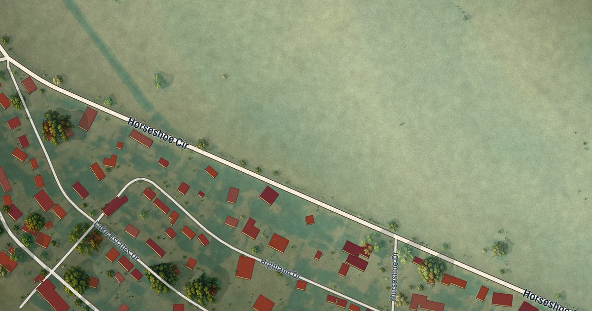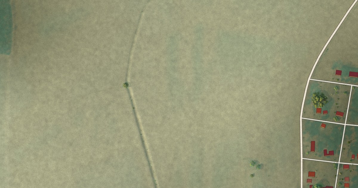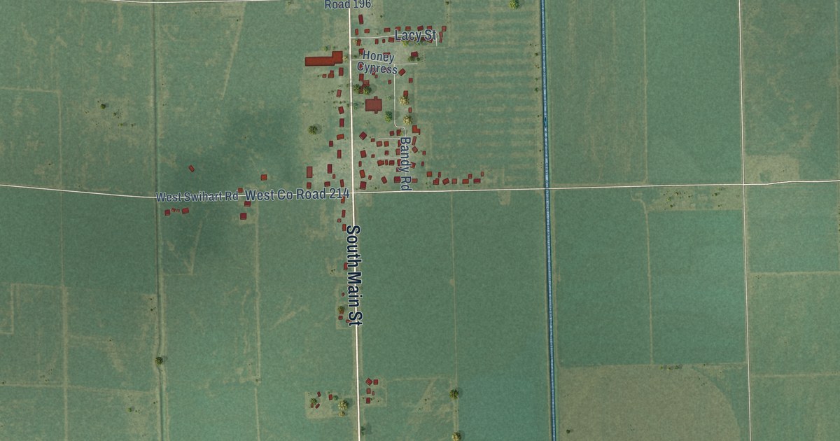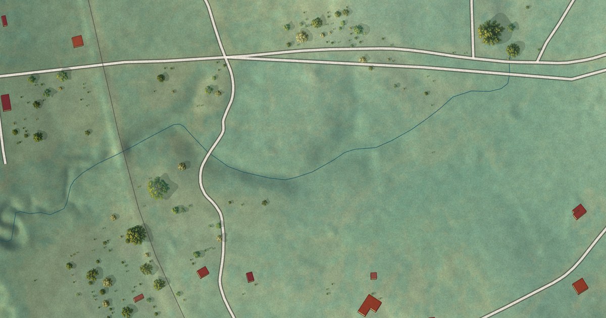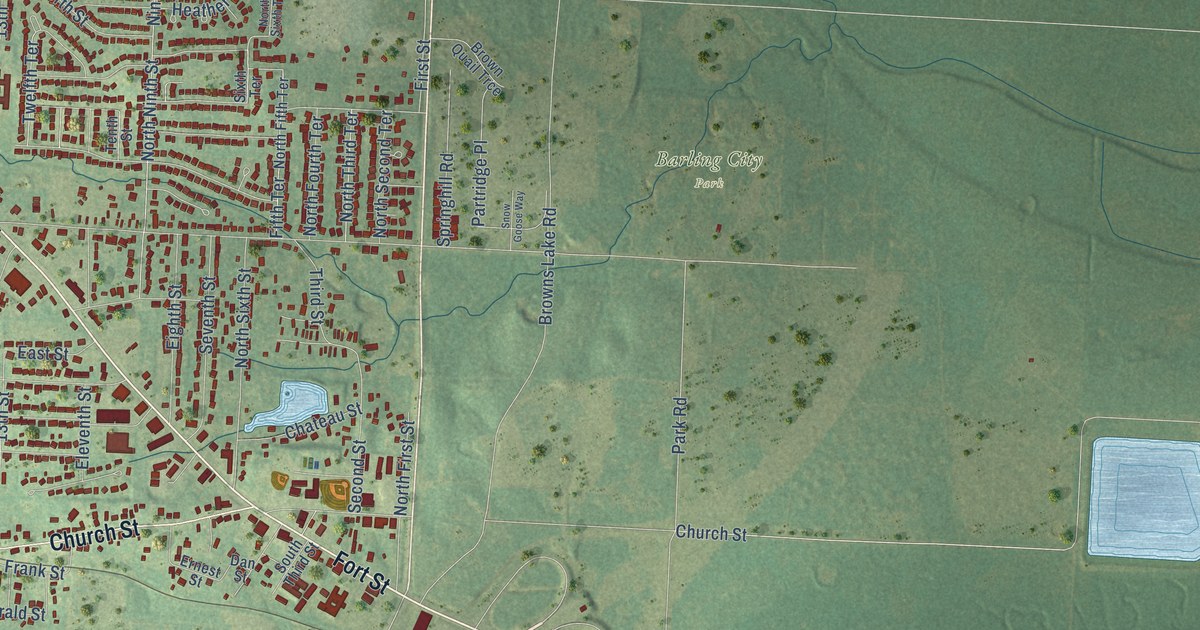
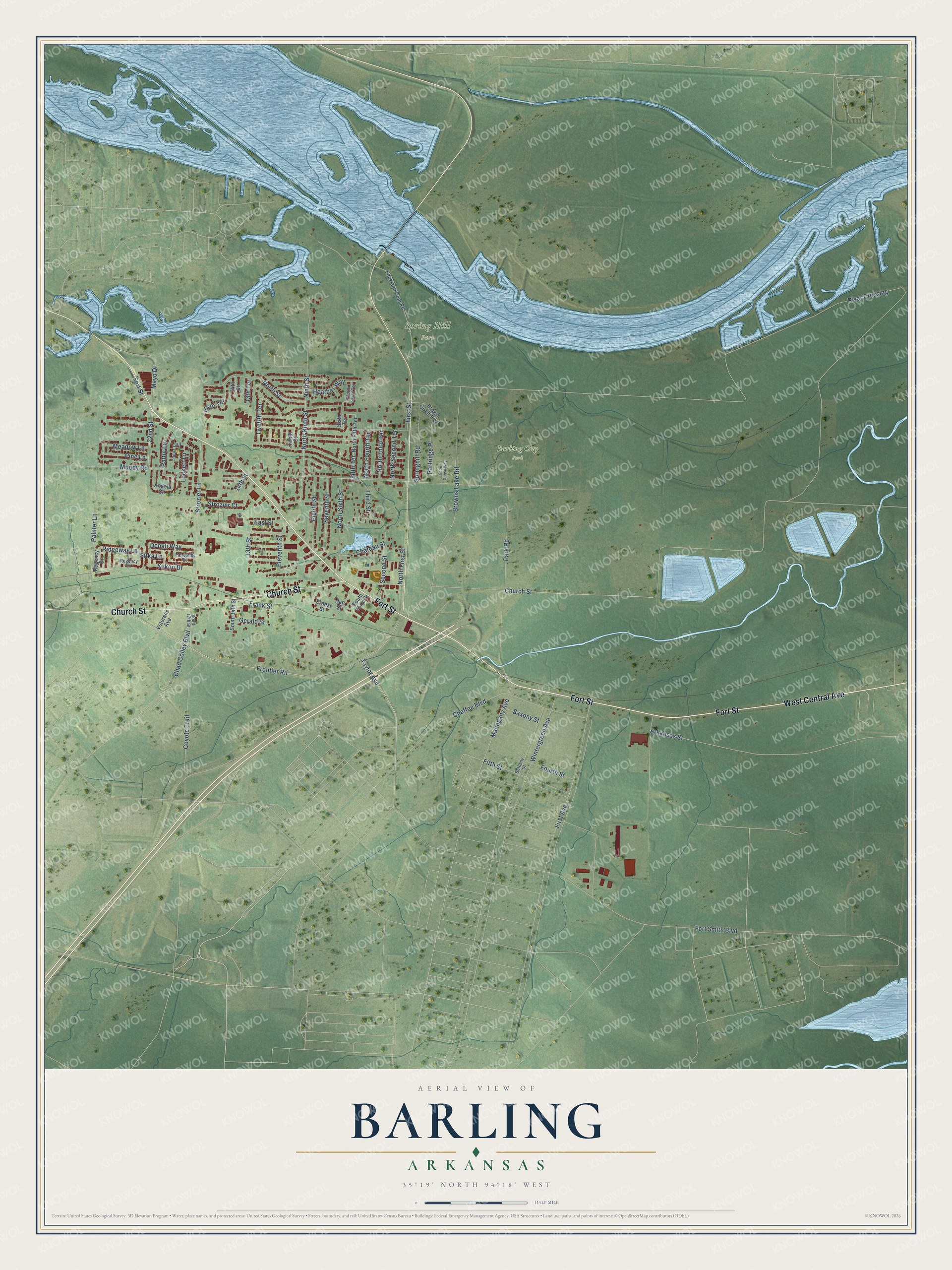
This beautifully detailed map of Barling, Arkansas was created in 2026 using aerial imagery combined with modern topographical, census, street and landmark data. It’s a one-of-a-kind view of Barling that combines accurate data with a vintage aesthetic. The map shows every building in its true location, many of the roads carry their names, and the shaded topographic relief shows the shape of the land.
Explore an aerial view of Barling, Arkansas
On the map you’ll find Barling City Park and Spring Hill Park, along with Fort Street, West Central Avenue, Church Street, 22nd Street, Mayo Drive, Moody Road, Painter Lane, Chad Colley Boulevard, Strozier Lane, Frontier Road, and more. If you look closely you can even find your house accurately drawn in its correct location. Zoom in on the preview to look for yours.
Did You Know?
From the CALS Encyclopedia of Arkansas: "Barling was established by Aaron Barling, a former soldier stationed at Fort Smith in 1817. He purchased land about eight miles east of Fort Smith on Little Rock Road in November 1830."
Barling is a city in Sebastian County.
Take a closer look at the Barling map
Names on this map
These names are printed on this map.
Places: Barling City Park and Spring Hill Park.
Streets and roads: Fort Street, West Central Avenue, Church Street, 22nd Street, Mayo Drive, Moody Road, Painter Lane, Chad Colley Boulevard, Strozier Lane, Frontier Road, Ridgeway Lane, 15th Terrace.
More street names, A to Z
13th Street, 13th Terrace, 14th Circle, 14th Street, Angela Circle, Arkansas Street, Bethany Street, Brown Quail Trce, Browns Lake Road, Chaffee Boulevard, Chateau Street, Coyote Trail, Dan Street, Denali Way, East Street, Eighth Street, Eleventh Street, Ernest Street, Fairbanks Drive, Fifth Street, Fifth Terrace, First Avenue, First Street, Fort Smith Boulevard, Fourth Street, Frank Street, Gerald Street, Heather Way, Lock and Dam Road, Lockett Lane, Mahogany Avenue, Meadow Lane, Ninth Street, North Fifth Terrace, North First Street, North Fourth Terrace, North Ninth Street, North Second Terrace, North Sixth Street, North Sixth Terrace, North Street, North Third Terrace, Park Road, Partridge Place, Pattie Lane, Pine Lane, Regency Drive, Regency Lane, River Crossing, Saxony Street, Second Street, Seventh Street, Sitka Lane, Sixth Terrace, Snow Goose Way, South 14th Street, South 17th Street, South Third Street, Springhill Road, Strozier Court, Taylor Avenue, Tenth Street, Third Street, Topaz Trail, Twelfth Terrace, Veterans Avenue, Wintergreen Avenue, Yukon Drive.
See it on a wall
The Barling map as a framed print. Swipe for more.


This beautifully detailed map of Barling makes an attractive addition to your office, library, or den, and it can even be used to teach children the geography and history of the area. It also makes a great gift for someone who left Barling and still calls it home. When you’re done exploring, click here to get your copy of the Barling map.