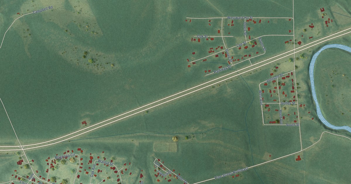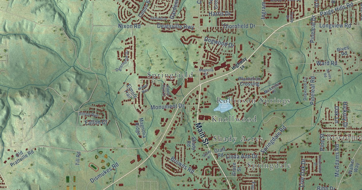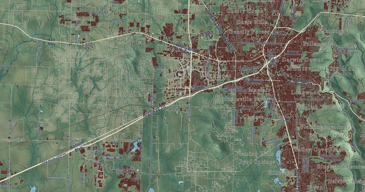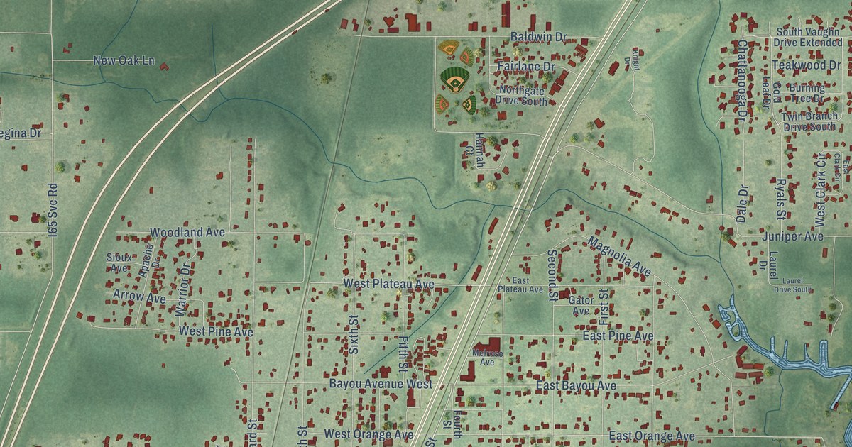
This beautifully detailed map of Satsuma, Alabama was created in 2026 using aerial imagery combined with modern topographical, census, street and landmark data. It’s a one-of-a-kind view of Satsuma that combines accurate data with a vintage aesthetic. The map shows every building in its true location, many of the roads carry their names, and the shaded topographic relief shows the shape of the land.
Explore an aerial view of Satsuma, Alabama
On the map you’ll find Satsuma City Hall, Mackies, Cox Beach, Junior Acres, Little Pines, and Williams Heights, along with East Joginell Drive, Old US Highway 43, Railroad Street, Williams Avenue, West Plateau Avenue, I65 Svc Road, and more. If you look closely you can even find your house accurately drawn in its correct location. Zoom in on the preview to look for yours.
Did You Know?
From Encyclopediaofalabama.org: "The Old Satsuma School, now the town's library, is listed on the Alabama Register of Landmarks and Heritage."
Take a closer look at the Satsuma map
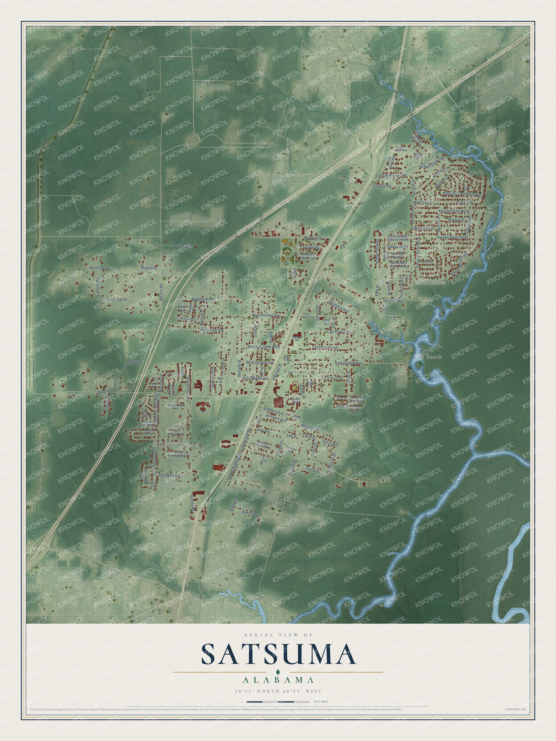
Names on this map
These names are printed on this map.
Places: Satsuma City Hall, Mackies, Cox Beach, Junior Acres, Little Pines and Williams Heights.
Streets and roads: East Joginell Drive, Old US Highway 43, Railroad Street, Williams Avenue, West Plateau Avenue, I65 Svc Road, Oak Avenue, Oak Street, Williams Street, East Orange Avenue, Baldwin Street, Margiana Drive.
More street names, A to Z
Apache Drive, Arrow Avenue, Audubon Drive North, Autumndale Drive, Avondale Avenue, Baker Road, Baldwin Drive, Barcelona Drive, Bass Court, Bayou Avenue West, Bradford Avenue, Braxton, Brice Avenue, Burning Tree Drive, Carl Avenue, Catherine Drive, Chattanooga Drive, Colony Trace Court, Cordova Avenue, Creek Circle, Dale Drive, Daniel Drive, Darring Avenue, Dewitt Avenue, Dolphin Drive, East Bayou Avenue, East Clark Circle, East Maple Avenue, East Pine Avenue, East Plateau Avenue, Elvira Avenue, Elvira Street, Emmett Drive, Fairlane Drive, Fifth Street, First Street, Fourth Street, Gator Avenue, Gayle Lane, Gilbert Drive East, Gilbert Drive West, Gold Leaf Drive, Granada Avenue, Hanna Chree Way, Hannah Chree Way, Hannah Court, Harrison Drive, Hartley Road, Higgins Drive, Hilltop Street, Jill Lane, Joginell Drive East, Jones Street, Joseph Street, Juniper Avenue, Knight Drive, Landing Drive, Laurel Drive, Laurel Drive South, Laurelwood Drive, Lemans Drive North, Magnolia Avenue, Malaga Drive, Maple Court, Maria Drive, Marlowe Drive, Melrose Avenue, Michelle Street, New Oak Lane, Northgate Drive South, North Hummingbird Drive, North Oak Drive, Norton Drive, Oak Ridge Drive, Old Highway 43, Orchard Street, Painter Drive, Park Street, Regina Drive, Ryals Street, Scanlan Way East, Scanlan Way South, Second Street, Seventh Street, Sioux Avenue, Sixth Street, South Hummingbird Drive, South Oak Drive, South Powers Road, South Vaughn Drive Extended, Stratford Lane, Ta Jaucha Drive North, Ta Jaucha Drive South, Teakwood Drive, Telegraph Road, Third Street, Thomas Drive, Thomas Road, Timberland Drive, Travelers Court, Twin Branch Drive South, Valencia Drive, Vaughn Drive East, Vaughn Drive North, Vaughn Drive South, Vaughn Drive West, Warrior Drive, West Clark Circle, West Joginell Circle, West Maple Avenue, West Oak Drive, West Orange Avenue, West Pine Avenue, Whidden Drive, Woodland Avenue, Yew Street.
See it on a wall
The Satsuma map as a framed print. Swipe for more.


This beautifully detailed map of Satsuma makes an attractive addition to your office, library, or den, and it can even be used to teach children the geography and history of the area. It also makes a great gift for anyone with Satsuma roots. When you’re done exploring, click here to get your copy of the Satsuma map.