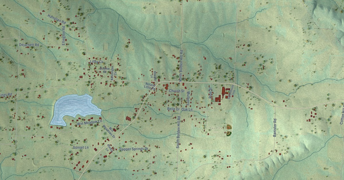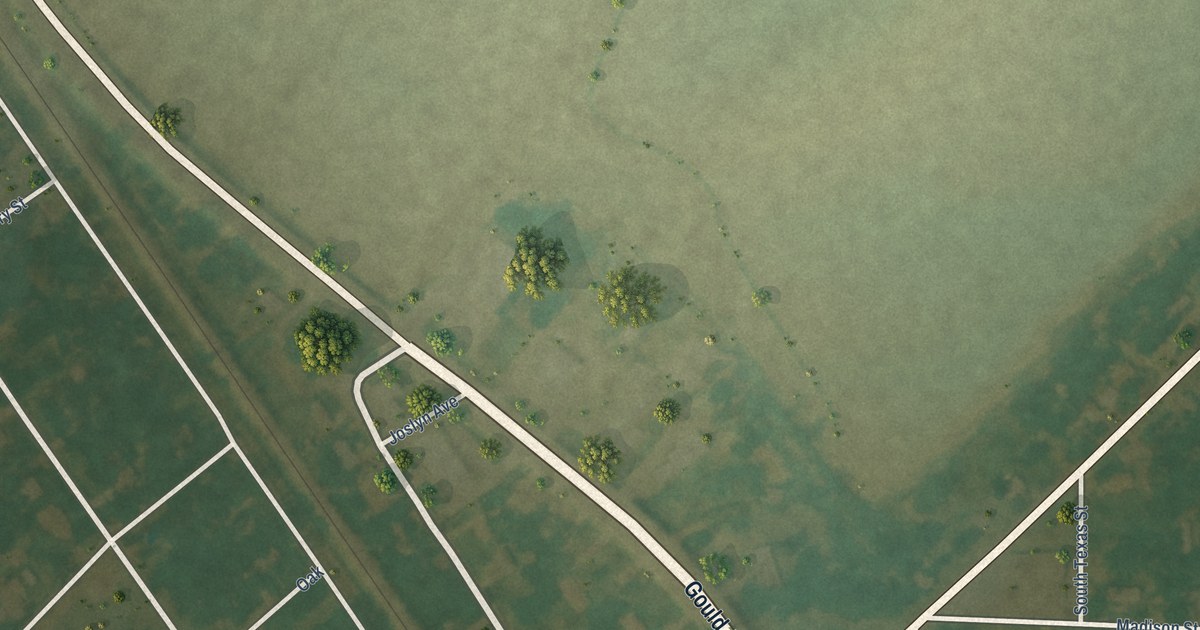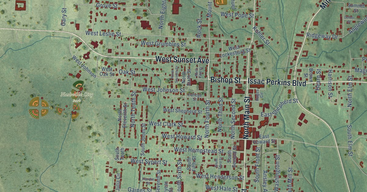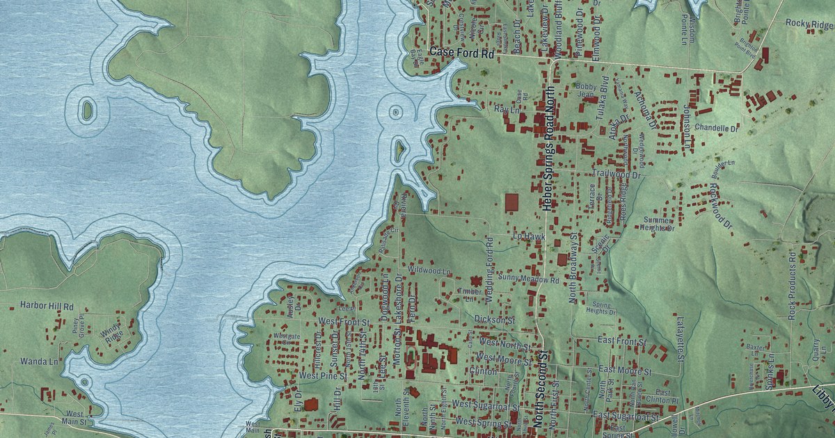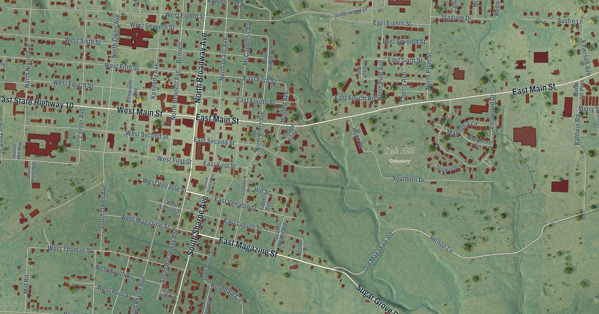
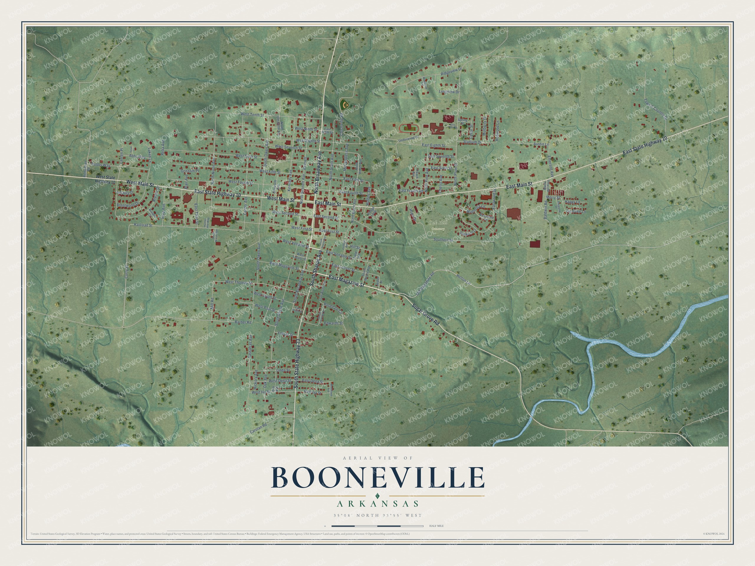
This beautifully detailed map of Booneville, Arkansas was created in 2026 using aerial imagery combined with modern topographical, census, street and landmark data. It's a modern aerial view of Booneville in Logan County, Arkansas, that combines modern data with a vintage aesthetic. The roads feature printed names, and if you look closely you can find your exact house accurately shown in its correct location.
Explore an aerial view of Booneville, Arkansas
On this map you'll find Oak Hill Cemetery, East Magazine Street, North Broadway Avenue, West Main Street, East Main Street, East State Highway 10, South State Highway 23, South Sharpe Avenue, Sugar Grove Road, South Broadway Avenue, Helton Lane, West First Street, and more. Each red shape is a building, so zoom in on the preview and look for yours.
Booneville has a story worth telling. The CALS Encyclopedia of Arkansas puts it this way: "In 1833, when Scott County, including what is now south Logan County, was formed from Crawford County, Booneville became the county seat. In 1837, the Petit Jean Post Office was established at Booneville. The name was changed to Booneville Post Office that year."
Booneville is a city in Logan County.
Take a closer look at the Booneville map
Names on this map
These names are printed on this map.
Places: Oak Hill Cemetery.
Streets and roads: East Magazine Street, North Broadway Avenue, West Main Street, East Main Street, East State Highway 10, South State Highway 23, South Sharpe Avenue, Sugar Grove Road, South Broadway Avenue, Helton Lane, West First Street, Curry Street.
More street names, A to Z
Abby Way, Arcadia Drive, Austin Lane, Baldwin Road, Barber Road, Bennett, Blair Avenue, Brentwood Drive, Carefree Lane, Carolan Road, Cedar Street, Center Avenue, Cherry Avenue, Chismville Road, College Avenue, Dogwood Lane, Dubbs Way, East Dena Street, East Eighth Street, East Fifth Street, East First Street, East Fourth Road, East Fourth Street, East Ivy Street, East Locust Street, East Ninth Street, East Second Street, East Seventh Street, East Sixth Street, East South Street, East Tenth Street, East Third Street, East Venable Street, Eastwood Drive, Edwards Street, Ellsworth Avenue, Elm Avenue, Emerson Avenue, Field Avenue, Gaywood Drive, Grissom Place, Happy Lane, Harp Avenue, Hickory Avenue, Hill Street, Holden Avenue, Hope Drive, Hunter Alie Way, Jester Drive, Kennedy Avenue, Laken Lane, Lauren Place, Linda Street, Longview Drive, Magnolia Lane, Mario del Pero, McCandless Avenue, Merry Street, Mill Road, Mulberry Street, North Bennett Avenue, North Ellsworth Avenue, North Grant Avenue, North Nixon Avenue, North Owen Avenue, North Pine Avenue, North Plum Street, North Welch Avenue, North Welsh Avenue, Oak Avenue, Old Magazine Road, Peach Avenue, Railroad Street, Reba Avenue, Redwood Lane, Richardson Road, Ridgeview Drive, Riviera Circle, Riviera Drive, Rosedale Circle, Sarah Cr, Sassafras Avenue, Southern Drive, South Fairview Drive, South Moore Avenue, South Nixon Avenue, South Owen Avenue, South Rhyne Avenue, South Walnut Avenue, Spring Street, Stadium Drive, Sycamore Lane, Town & Country Drive, Underwood Drive, Village Loop, West Dena Street, West Eighth Street, West Fifth Street, West Fourth Street, West Ivy Street, West Locust Street, West Magazine Street, West Ninth Street, West Paul Street, West Second Street, West Seventh Street, West Sixth Street, West South Street, West State Highway 10, West Tenth Street, West Thomas Street, West Venable Street, Woodland Terrace, Woodlawn Avenue, Yokum Street.
Created by KNOWOL in 2026. The buildings are small red shapes, the roads carry their printed names, and shaded relief shows the shape of the land. The title panel reads "AERIAL VIEW OF BOONEVILLE ARKANSAS" with 35°08' NORTH 93°55' WEST.
It looks right in a kitchen, an office or a den, and it's a gift for anyone who grew up in Booneville or moved away. Open the preview and find your street. See sizes and frames for the Booneville map.