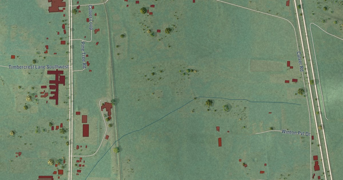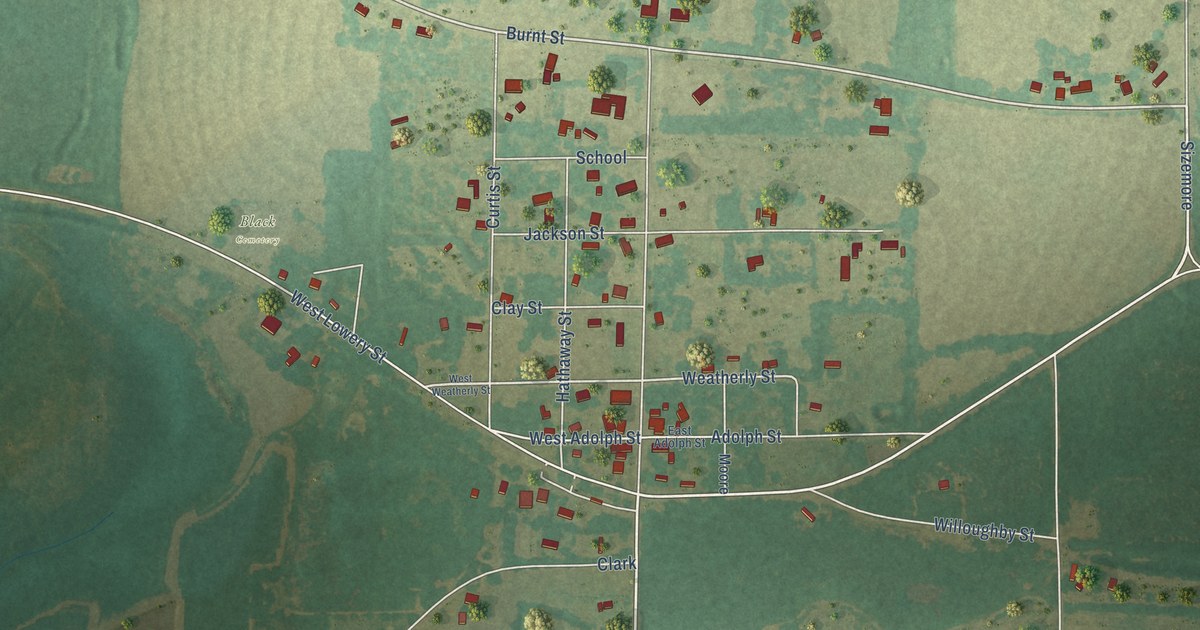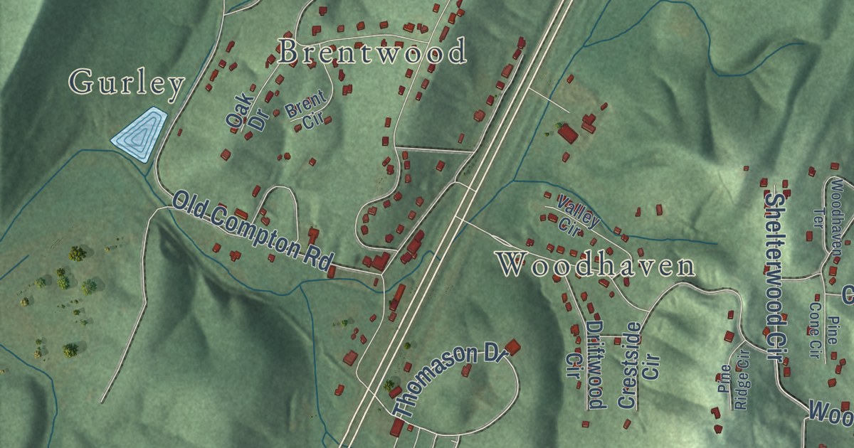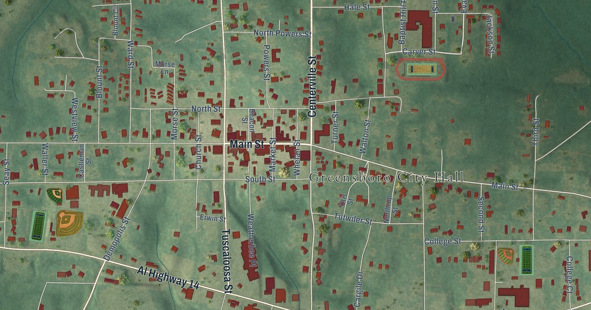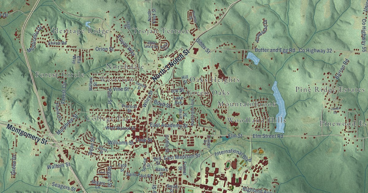
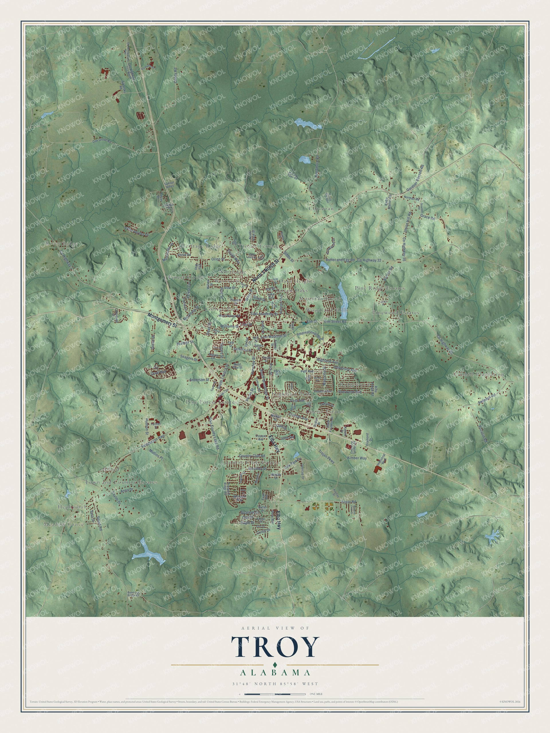
This beautifully detailed map of Troy, Alabama was created in 2026 using aerial imagery combined with modern topographical, census, street and landmark data. It’s a one-of-a-kind view of Troy that combines accurate data with a vintage aesthetic. The map shows every building in its true location, many of the roads carry their names, and the shaded topographic relief shows the shape of the land.
Explore an aerial view of Troy, Alabama
On the map you’ll find Meadow Grove, Hephzibah, River Ridge, Allred, College Park, Corcoran, Country Club Estates, Dozier Estates, Elmhill Plantation, Green Oaks, and Heritage Ridge, along with Forest Circle, and more. If you look closely you can even find your house accurately drawn in its correct location. Zoom in on the preview to look for yours.
Did you know this piece of Troy, Alabama history?
From Encyclopediaofalabama.org: "Once part of territory belonging to the Creek Indians, the land that would become Troy was first settled in the early 1830s."
Take a closer look at the Troy map
Street and place names on the Troy, Alabama map
These names are printed on the map of Troy, Alabama.
Places: Meadow Grove, Hephzibah, River Ridge, Allred, College Park, Corcoran, Country Club Estates, Dozier Estates, Elmhill Plantation, Forest Circle, Green Oaks, Heritage Ridge, Highland Park, Mountainbrook, Northdale, Oaks Heights, Pine Forest Estates, Pine Ridge Estates, Pinewood Estates, Ridgewood, Town and Country Estates, Trojan Terrace, Westview and Woodland Hills.
Streets and roads: North 3 Notch Street, Elba Highway, Montgomery Street, Elm Street Road, Enzor Road, Elm Street, South 3 Notch Street, Oak Park Drive, Hanchey Street, Swindall Road, Pocosin Road, County Highway 26.
More street names, A to Z
Abby Lane, Ananias Street, Anderson Street, Anna Drive, Arrowhead Drive, Banks Street, Barron Road, Bell Street, Botts Avenue, Bowden Road, Boyd Street, Brundidge Boulevard, Burnt Out Bridge Road, Butler Drive, Butter and Egg Road, Carroll Street, Childs Road, College Drive, Corman Avenue, Country Club Road, County Highway 1, County Highway 32, County Highway 55, Curtis Drive, Dale Drive, Dean Street, Dendron Avenue, Diamond Drive, Diamond Fields Drive, Dismukes Drive, Dove Avenue, Dozier Drive, Dunbar Drive, Eagle Drive, East Academy Street, East Madison Street, East Street, Easy Street, Ella Way, Ellis Drive, Evan Avenue, Falcon Drive, Farmer Street, Farrior Street, First Avenue, Flavia Circle, Folmar Street, Forest Hill Trail, Fox Circle, Gardner Bassett Road, Gibbs Street, Grace Road, Green Drive, Griffin Street, Henderson Highway, Hickory Drive, Highland Avenue, Hill Street, Hilltop Drive, Hudson Street, Ice Street, Industrial Boulevard, Ingram Drive, International Boulevard, Jane Road, John Lewis Drive, Jones Street, Kervin Drive, Kimber Way, Lake Avenue, Lakewood Drive, Laurel Lane, Lawson Drive, Limestone Springs Road, Lotus Lane, Love Street, Magnolia Street, Margaret Lane, McClure Town Road, McNeil Street, Mobley Drive, Monticello Drive, Mullins Place, Murphree Street, Needmore Road, Norfolk Avenue, Norman Road, North Knox Street, Oak Grove Road, Old Highway 231 North, Old Montgomery Highway, Orion Street, Overcup Drive, Owl Drive, Palos Verdes Drive, Park Place, Park Street, Pecan Drive, Pecan Street, Pell Avenue, Pierson Street, Pike County Lake Road, Pine Street, Prospect Ridge Road, Quail Run, Radio Station Road, Rifle Range Road, Rose Circle, Sage Street, Saint Paul Street, Sanders Road, Sara Drive, Seagers Street, Segars Lane, Segars Street, Sherwood Avenue, Shiloh Road, Sikorsky Road, Smart Road, Smith Street, South Brundidge Street, South Franklin Drive, Sparrow Drive, Spradley Drive, Spruce Street, Sunset Villas, Tate Street, Taylor Drive, Taylor Place, Trojan Parkway, Trojan Way, Union Hill Road, University Avenue, Vincent Avenue, Vine Street, Walters Street, Washington Avenue, West Pike Street, West Walnut Street, Whitetail Way, Wiley Street, Williams Street, Willow Street.
See the Troy, Alabama map on a wall
The Troy map as an 18 x 24 inch print in a black frame.

This beautifully detailed map of Troy makes an attractive addition to your office, library, or den, and it can even be used to teach children the geography and history of the area. It also makes a great gift for anyone who grew up in Troy or moved away. When you’re done exploring, click here to get your copy of the Troy map.