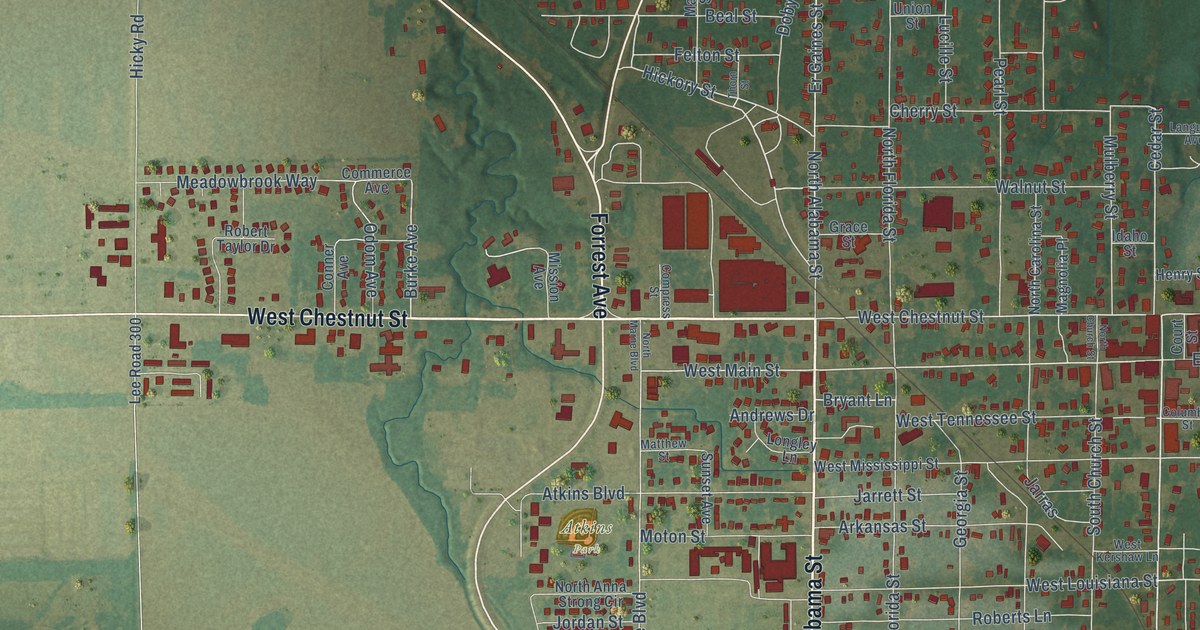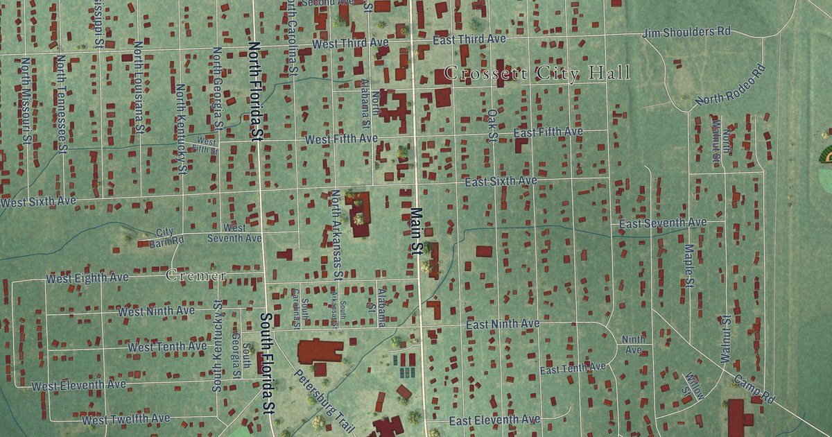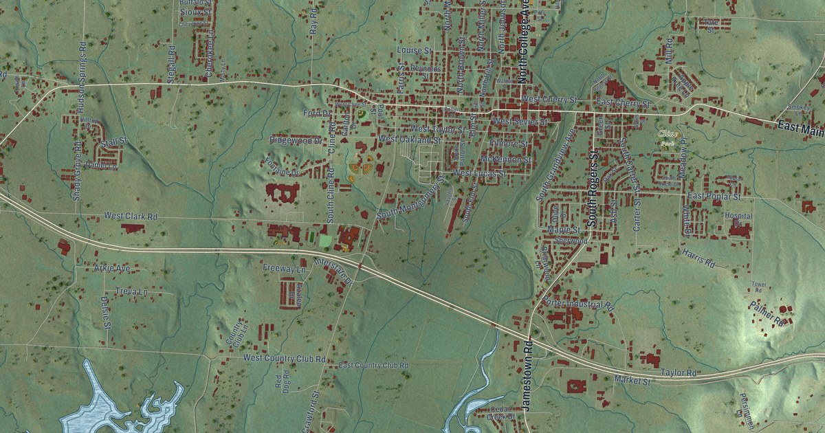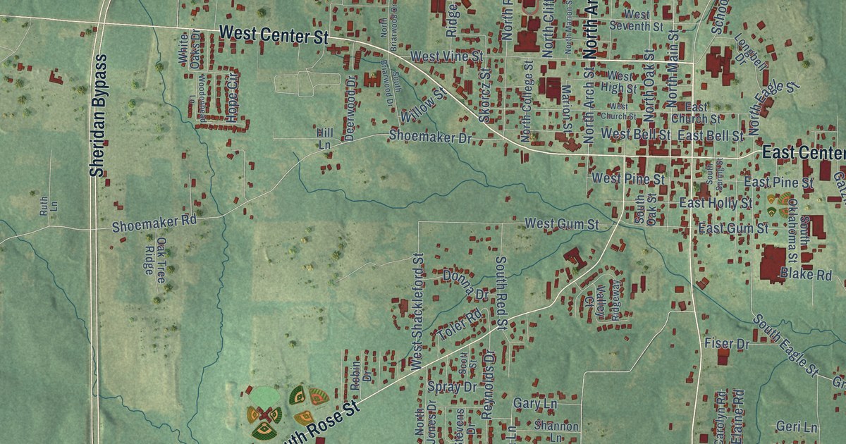
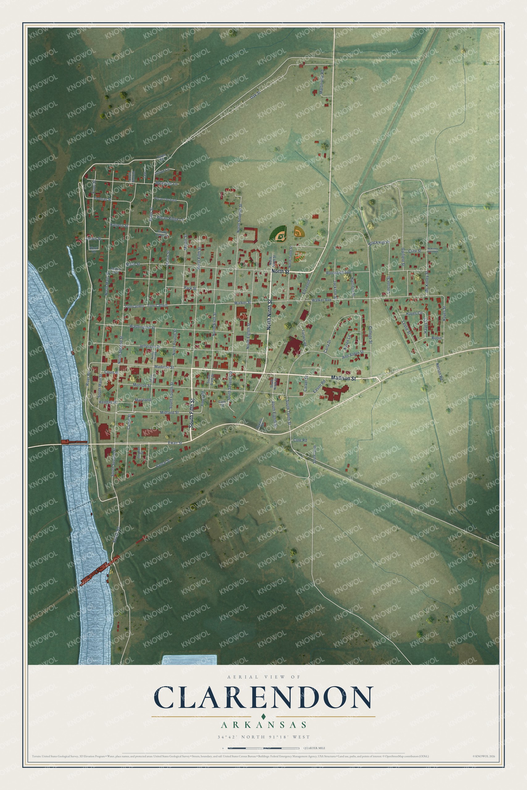
This beautifully detailed map of Clarendon, Arkansas was created in 2026 using aerial imagery combined with modern topographical, census, street and landmark data. It's a modern aerial view of Clarendon in Monroe County, Arkansas, that combines modern data with a vintage aesthetic. The roads feature printed names, and if you look closely you can find your exact house accurately shown in its correct location.
Explore an aerial view of Clarendon, Arkansas
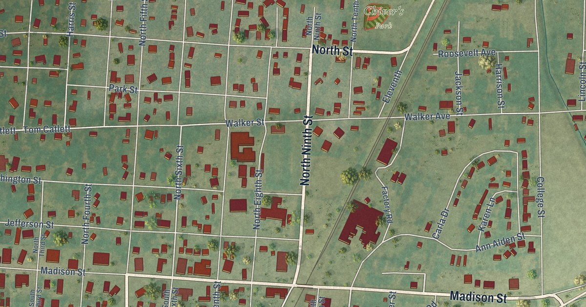
On this map you'll find Chiver's Park, North Ninth Street, South Fifth Street, Madison Street, North Street, River Road, Walls Street, South Eighth Street, Beach Road, Blackwell Place, South Tenth Street, Oak Street, and more. Each red shape is a building, so zoom in on the preview and look for yours.
Here is a piece of Clarendon history, in the words of the record. The CALS Encyclopedia of Arkansas puts it this way: "Constructed in the mid- to late 1820s, the Military Road from Memphis, Tennessee, crossed the White River at Clarendon to its destination in Little Rock (Pulaski County), increasing Clarendon’s importance as a river port."
Clarendon is a city in Monroe County.
Take a closer look at the Clarendon map
Names on this map
These names are printed on this map.
Places: Chiver's Park.
Streets and roads: North Ninth Street, South Fifth Street, Madison Street, North Street, River Road, Walls Street, South Eighth Street, Beach Road, Blackwell Place, South Tenth Street, Oak Street, Midland Street.
More street names, A to Z
Amos Road, Ann Alden Street, Bypass Road, Cain Street, Carla Drive, Carter Street, Carver Street, Cole Road, College Street, Court Street, Crite Street, Eason Road, Eleventh, Ewan Street, Factory Road, Front Street, Garfield Street, Guydon Street, Halpern Street, Harrison Street, Harris Street, Hayes Circle, Hayes Court, Hayes Street, Jackson Street, Jacobs Avenue, James Street, Jefferson Street, Julian Lane, Karen Lane, Kendall Street, Lee, Leslie Street, Levee Road, Lincoln Street, Martin Street, Martinville Road, Maryland, McKinley Extended, Mc Kinley Street, Meadows Lane, Monroe Street, Nelson Road, North Eighth Street, North Fifth Street, North Fourth Street, North Main Street, North Second, North Second Street, North Seventh Street, North Sixth Street, North Tenth Street, North Third Street, Park Street, Pecan Orchard, Pecan Ridge Lane, Robin, Roosevelt Avenue, Shady Acres Street, South Fourth Street, South Main Street, South Ninth Street, South Second Street, South Seventh Street, South Sixth Street, South Tenth, South Third Street, Thomas Street, Tomcatlett, Tom Catlett, Vance Street, Walker Avenue, Walker Street, Ward Road, Washington Street.
Created by KNOWOL in 2026. The buildings are small red shapes, the roads carry their printed names, and shaded relief shows the shape of the land. The title panel reads "AERIAL VIEW OF CLARENDON ARKANSAS" with 34°42' NORTH 91°18' WEST.
It suits a den, a classroom or a front hall, and it makes a gift for anyone with Clarendon roots. Open the preview and find the block you know. See sizes and frames for the Clarendon map.