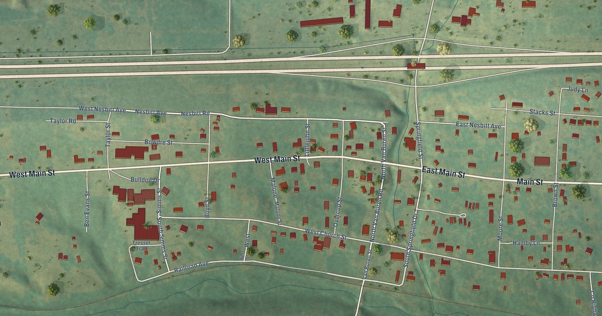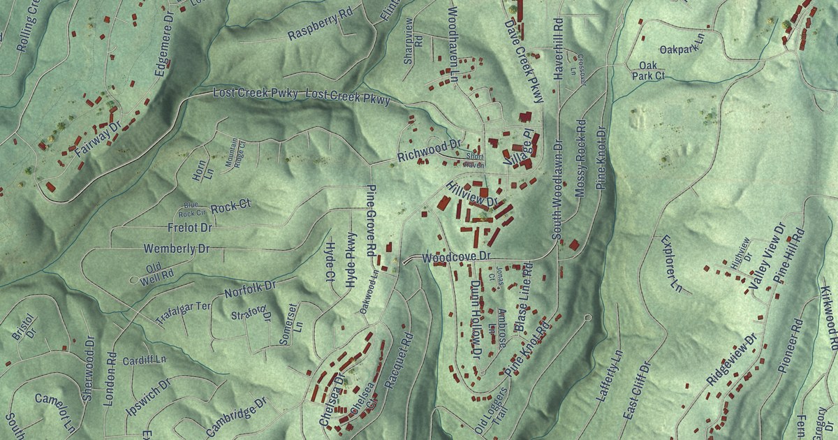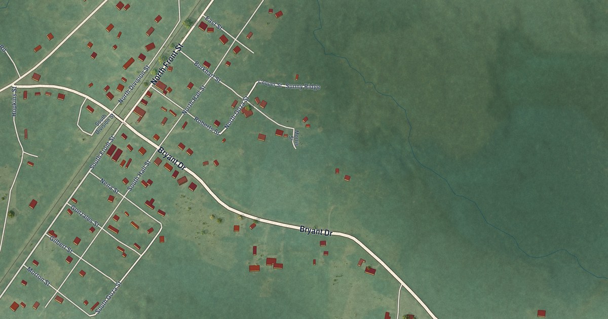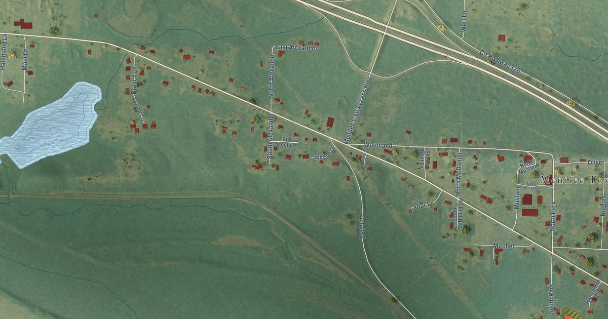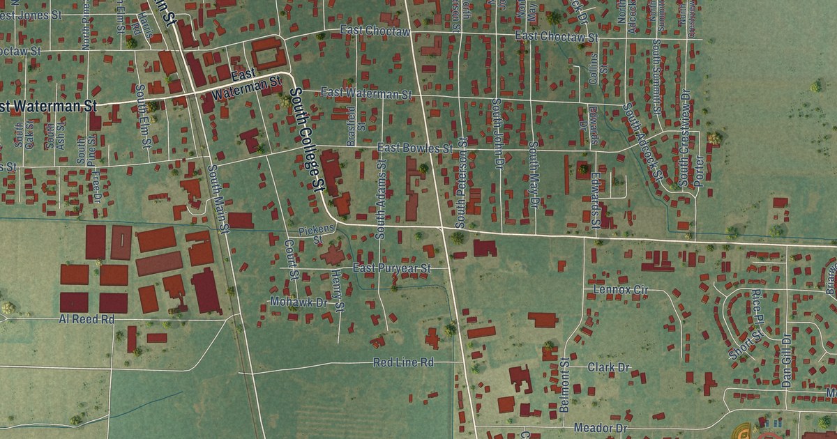
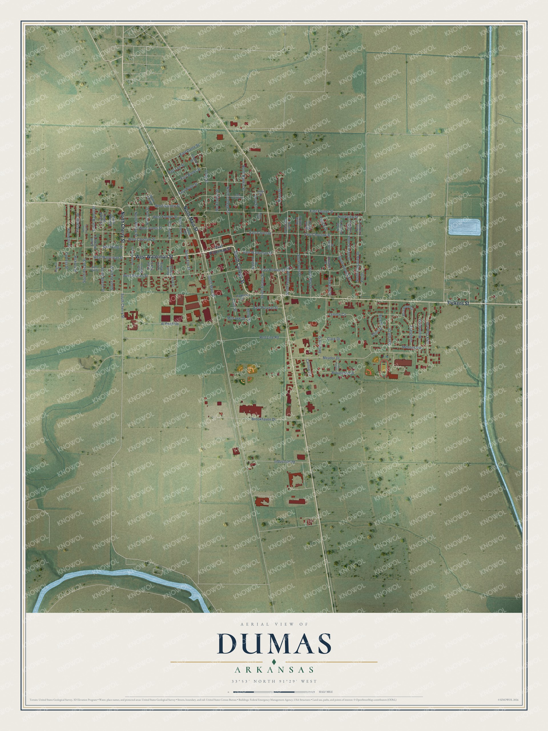
This beautifully detailed map of Dumas, Arkansas was created in 2026 using aerial imagery combined with modern topographical, census, street and landmark data. It's a modern aerial view of Dumas in Desha County, Arkansas, that combines modern data with a vintage aesthetic. The roads feature printed names, and if you look closely you can find your exact house accurately shown in its correct location.
Explore an aerial view of Dumas, Arkansas
On this map you'll find North Cherry Street, North Main Street, South College Street, Pickens Street, West Waterman Street, South Main Street, South Cherry Street, East Choctaw, East Choctaw Street, East Farmer Street, South Peach Street, East Bowles Street, and more. Each red shape is a building, so zoom in on the preview and look for yours.
Every town has a first chapter, and Dumas is no exception. The CALS Encyclopedia of Arkansas puts it this way: "When Dumas was incorporated in 1904, Gus Waterman, a Jewish immigrant from Germany, became the first mayor and postmaster, and his grandson, Julian Waterman, became the first dean of the University of Arkansas School of Law."
Dumas is a city in Desha County.
Take a closer look at the Dumas map
Names on this map
These names are printed on this map.
Streets and roads: North Cherry Street, North Main Street, South College Street, Pickens Street, West Waterman Street, South Main Street, South Cherry Street, East Choctaw, East Choctaw Street, East Farmer Street, South Peach Street, East Bowles Street.
More street names, A to Z
Al Reed Road, Belmont Street, Brasfield Street, Brent Street, Briarwood Circle, Brookhaven Drive, Carlton Circle, Clark Drive, Clayton Drive, Collins Street, Court Street, Cypress Street, Dan Gill Drive, Desha Drive, East Banks Street, East Burnett Street, East Dante Street, East Lee Street, East Puryear Street, East Waterman Street, East Wolfe Street, Edwards Drive, Edwards Street, Evergreen, Free Drive, Harris Road, Henry Street, Hickory Street, Industrial Road, Jack Dante Drive, Jerry Street, Judy Street, Lennox Circle, Long Street, Magnolia Street, Mc Kennon Street, Meador Drive, Melrose Avenue, Miller Road, Mistletoe Street, Mohawk Drive, North Adcock Street, North Ash Street, North Beech Street, North College Street, North Crestview Drive, North Elm Street, North John Drive, North May Drive, North Oak Street, North Peach Street, North Pecan Street, North Peterson Street, North Pine Street, North Rankin Street, North Summitt Street, Northview Street, North Walnut Street, North Willow Street, Palmetto Drive, Patrick Drive, Pistachio Drive, Porter, Red Line Road, Rice Place, Robinwood Drive, Short Street, South Adams Street, South Adcock Street, South Ash Street, South Beech Street, South Crestview Drive, South Elm Street, South John Drive, South Maple Street, South May Drive, South Oak Street, South Pecan Street, South Peterson Street, South Pine Street, South Summitt Street, South Walnut Street, South Willow Street, West Bowles Street, West Burnett Street, West Choctaw Street, West Farmer Street, West Jones Street, West King Street, West Park Street.
Created by KNOWOL in 2026. The buildings are small red shapes, the roads carry their printed names, and shaded relief shows the shape of the land. The title panel reads "AERIAL VIEW OF DUMAS ARKANSAS" with 33°53' NORTH 91°29' WEST.
Hang it in the hallway, the office or the cabin, or give it to someone who left Dumas and still calls it home. Open the preview and look for a street you know. See sizes and frames for the Dumas map.