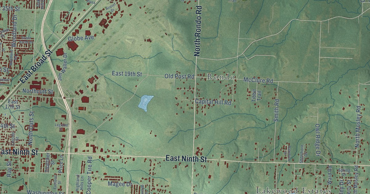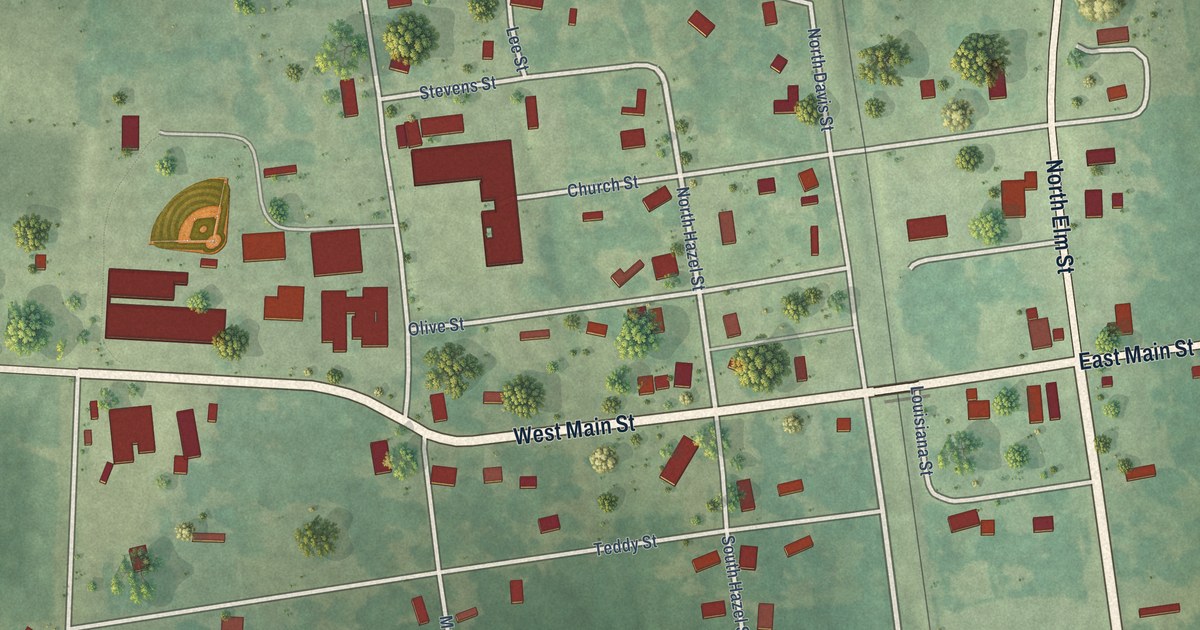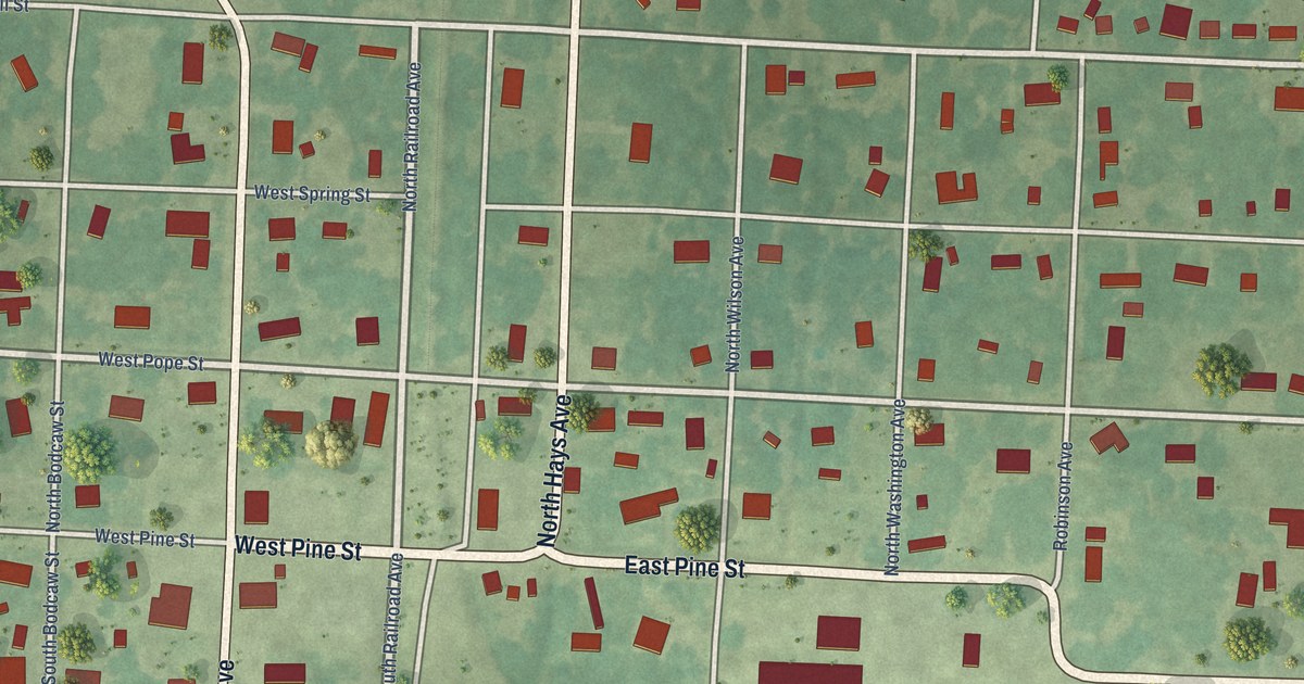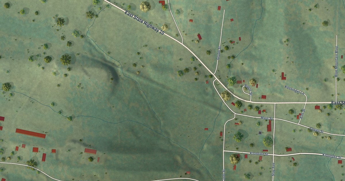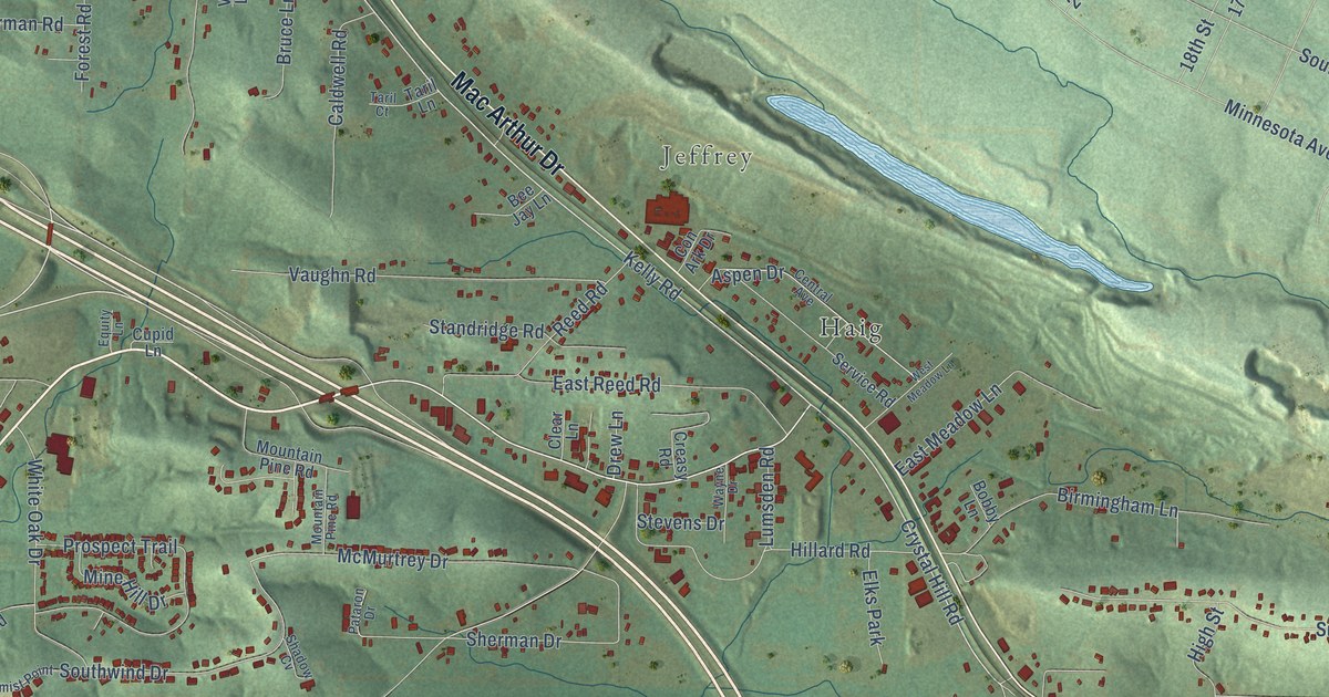
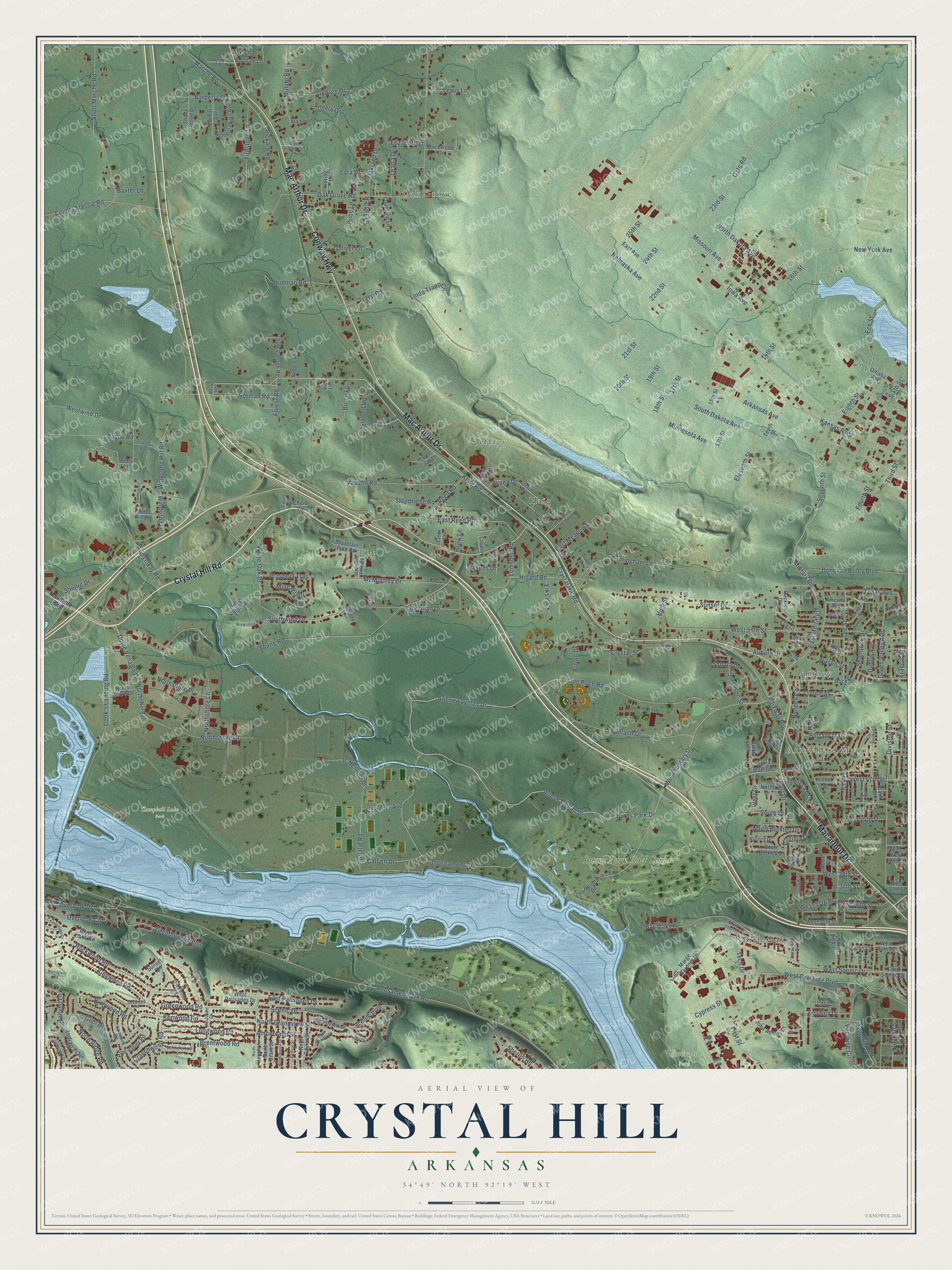
This beautifully detailed map of Crystal Hill, Arkansas was created in 2026 using aerial imagery combined with modern topographical, census, street and landmark data. It’s a one-of-a-kind view of Crystal Hill that combines accurate data with a vintage aesthetic. The map shows every building in its true location, many of the roads carry their names, and the shaded topographic relief shows the shape of the land.
Explore an aerial view of Crystal Hill, Arkansas
On the map you’ll find Arrowhead Manor, Oak Grove, Amboy, Jeffrey, Campbell Lake Park, Edgewood Cemetery, Emerald Park, North Oaks, Haig, and Burns Park Golf Course, along with Crystal Hill Road, Conway Highway, and more. If you look closely you can even find your house accurately drawn in its correct location. Zoom in on the preview to look for yours.
Did You Know?
From Internet Archive: "In 1807 Major John Pyeatt, an officer of the Revolutionary war, with his brother Jacob, and their families came to Arkansas from eastern Tennessee and settled at Crystal Hill above Little Rock."
Crystal Hill is a community in Pulaski County.
Take a closer look at the Crystal Hill map
Names on this map
These names are printed on this map.
Places: Arrowhead Manor, Oak Grove, Amboy, Jeffrey, Campbell Lake Park, Edgewood Cemetery, Emerald Park, North Oaks, Haig, Burns Park Golf Course and Elks Park.
Streets and roads: Crystal Hill Road, Conway Highway, Mac Arthur Drive, Macarthur Drive, Kelly Road, Doyle Venable Drive, Northshore, Forest Road, 25th Street, Goalie Road, West Military Drive, Arlene Layman Drive.
More street names, A to Z
13th Street, 14th Street, 15th Street, 16th Street, 17th Street, 18th Street, 19th Street, 20th Street, 21st Street, 22nd Street, 23rd Street, 24th Street, 37th Street, Alamo Lane, Aldridge Lane, Amber Lane, Ampersand Street, Angela Drive, Arizona Avenue, Arkansas Avenue, Arlene Laman Drive, Aspen Drive, Auburn Drive, Audubon Street, Augusta Circle, Augusta Street, Barberry Street, Baxter Lane, Bay Oak, Bay Oaks Drive, Bayou Road, Bee Jay Lane, Berry Drive, Betts Lane, Birmingham Lane, Blue Ridge Circle, Bobby Lane, Breazeale Lane, Brentwood Road, Bridgeway Road, Brown Drive, Brown Street, Bruce Lane, Buckles Drive, Buffalo Trail, Burns Park Drive, Caldwell Road, Catfish Drive, Cato Road, Central Avenue, Championship Drive, Cherry Street, Clear Lane, Clematis Avenue, Con Ark Drive, Cook's Landing Road, Coors Drive, Copeland Lane, Counts Massie Road, Creasy Road, Crouchwood Road, Crystal Street, Cullum Road, Cupid Lane, Cypress Street, Dalewood Road, Del Monte Lane, Division Street, Donovan Briley Boulevard, Drew Lane, Dublin Avenue, East Avenue, East Drive, East Meadow Lane, East Military Drive, East Palisades Drive, East Reed Road, East Scenic Drive, Ech Street, Eighth Street, Elaine Street, Eleventh Street, Elizabeth Lane, Ella Court, Englewood Road, Equity Lane, Farvu Court, Fendley Drive, Filmore Street, Firestone Lane, First Street, Flora Street, Fourth Street, Francis Street, Franklin Street, Frank Street, Funland Drive, Galway Street, George Drive, Glen Drive, Grandview Street, Greathouse Bend, Green Valley Avenue, Greenwood Road, Harold Street, Harper Lane, High Street, Hillard Road, Holtdale Lane, Hudman Road, Idaho Drive, Indian Trail, Iowa Avenue, Jc Heilman Drive, Joe Poch Road, John Ashley Drive, Kansas Avenue, Kenwood Road, Kingwood Road, Landski Drive, Laurel Ridge, Leatta Drive, Lee Street, Lefever Lane, Lenel Drive, Lewis Lane, Linda Trapp Circle, Lonesome Dove, Longwood Road, Lora Drive, Lori Lane, Louise Street, Lumsden Road, Lynn Lane, Marche Road, Marge Gardner Lane, Martin Lane, Maumelle Boulevard, McMurtrey Drive, Memorial Drive, Military Road, Mine Hill Drive, Minnesota Avenue, Missouri Avenue, Mountain Pine Road, Mundo Road, Nannette Street, Nebraska Avenue, Neva Road, New York Avenue, Nicole Drive, Nona Street, Norman Road, North Berkley Drive, North Dakota Avenue, North Drive, North Grandview Street, North Grant Street, North Oaks Lane, North Pierce Street, North Ridge Road, Northshore Drive, North Shore Drive, Northshore Lane, Northshore Place, North Taylor Street, North University Avenue, Oak Grove Road, Oakland Drive, Oak Street, Omaha Avenue, Overlook Circle, Overlook Drive, Parkview Drive, Parkway Drive, Pataron Drive, Pershing Circle, Phillis, Pickard Road, Pine Canyon Road, Pine Street, Pine Valley Road, Pomegranate Avenue, Price Lane, Prospect Trail, Pump Station Road, Ray Street, Rebsamen Park Road, Reed Road, Reggie Lane, Richwood Road, Rivermist Point, River Oaks Circle, Rock Street, Rockwood Road, Rosewood Drive, Rye Lane, Scenic Boulevard, Scenic Drive, Schoolwood Lane, Service Road, Seventh Street, Shadow Cv, Shady Wood Drive, Shamrock Drive, Sheltie Drive, Sherman Drive, Sherrill Road, Short Marche Road, Sierra Court, Sierra Madre Drive, Sixth Street, Skywood Road, Smith Circle, Soccer Avenue, Sonora Drive, Sorenson Street, South Berkley Drive, South Dakota Avenue, South Drive, South Grandview, Southpoint Cv, Southwind Drive, Standridge Road, Stevens Drive, Sunset Circle, Sunset Drive, Susan Circle, Tallyho Lane, Taril Court, Taril Lane, Tech Drive, Tenth Street, Texas Avenue, Theresa Drive, Third Street, Timberlake Drive, Tolliver Lane, Tonto Trail, Tournament Drive, Trapp Road, Utah Street, Valley View Drive, Vaughn Road, Vestal Street, Via Lane, Virginia Drive, Wayne Drive, West 23rd Street, West 35th Street, West 36th Street, West 37th Place, West 37th Street, West 38th Street, West 39th Street, West 41st Street, West 44th Street, West 47th Street, West 58th Street, West Avalon Drive, West Drive, West Holt Dale Lane, West Meadow Lane, West Palisades Drive, West Pershing Boulevard, West Scenic Drive, Westwind Drive, White Oak Drive, Wilshire Drive, Wilson Street, Windsong Drive, Windsong Hill Road, Woodglen Road, Young Road.
See it on a wall
The Crystal Hill map as a framed print. Swipe for more.


This beautifully detailed map of Crystal Hill makes an attractive addition to your office, library, or den, and it can even be used to teach children the geography and history of the area. It also makes a great gift for anyone with Crystal Hill roots. When you’re done exploring, click here to get your copy of the Crystal Hill map.