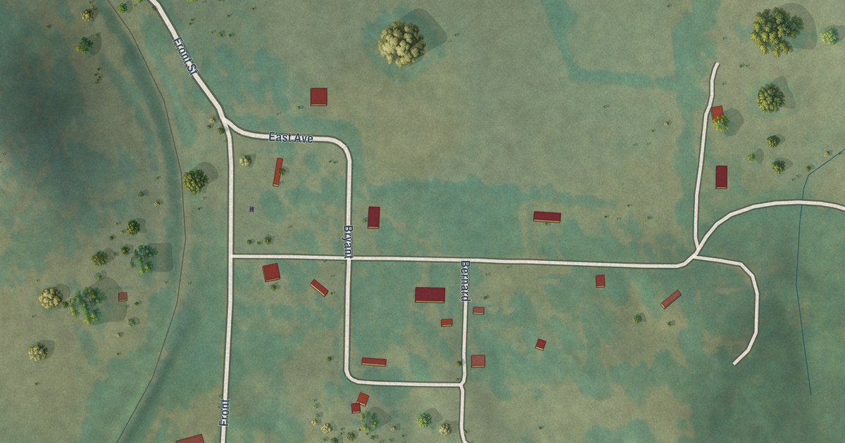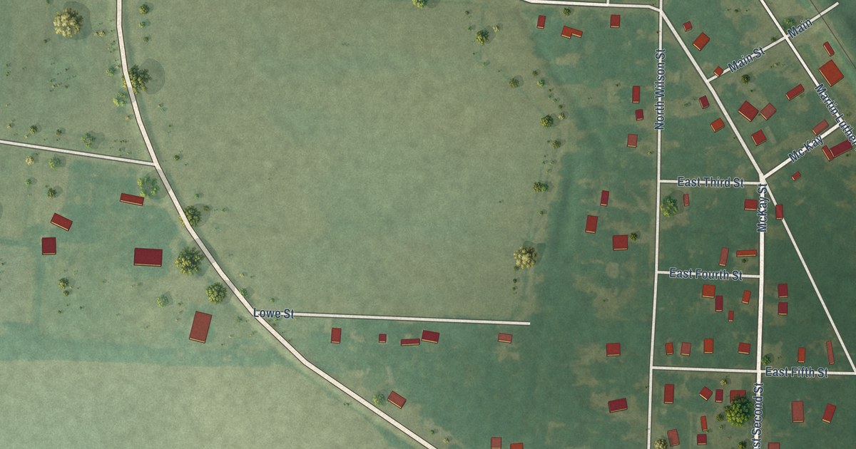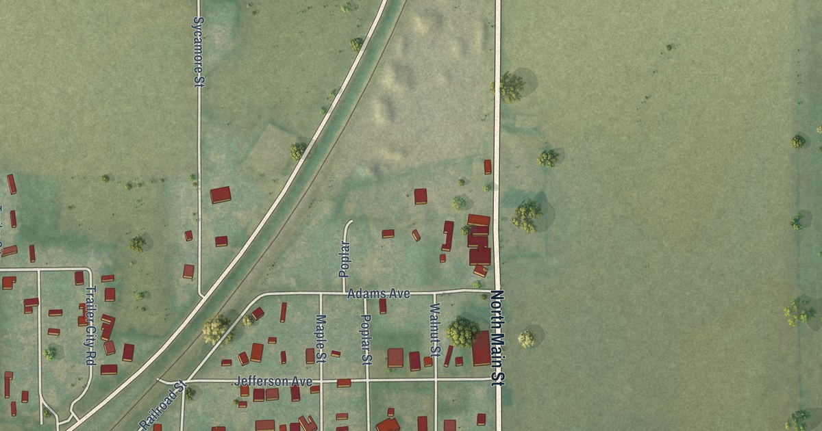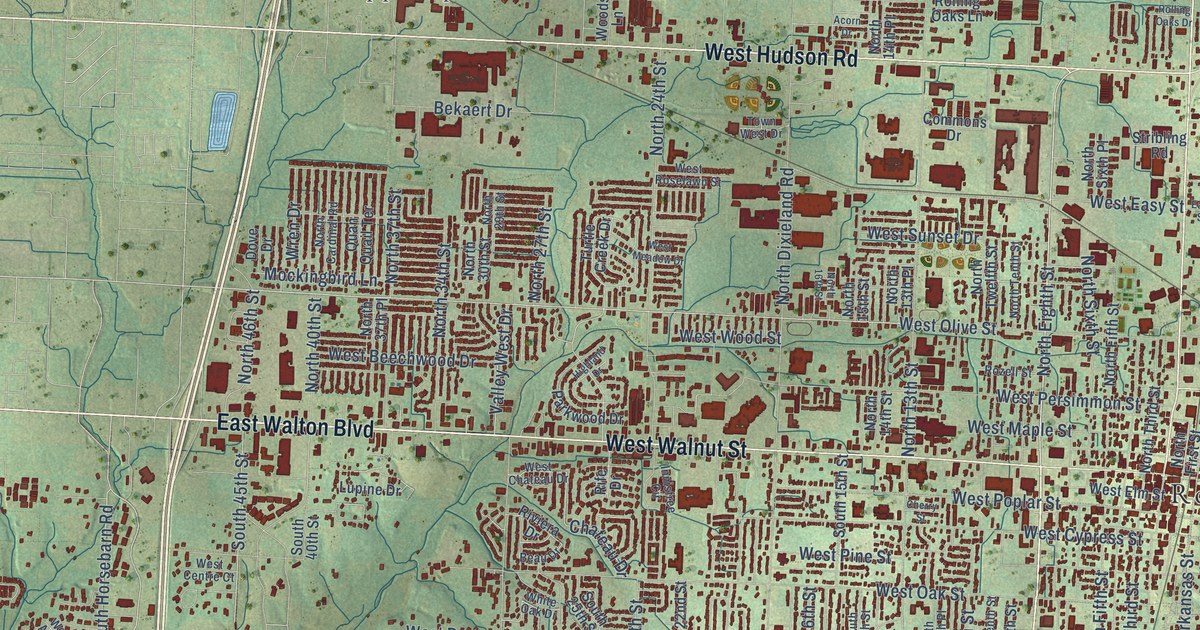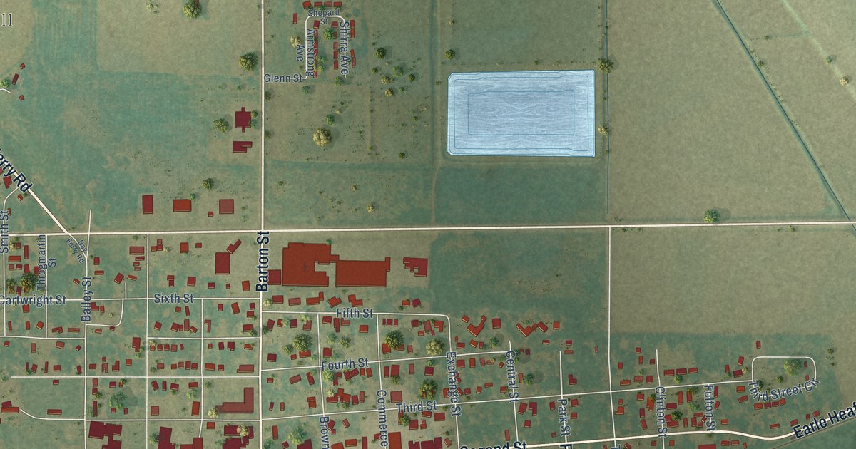
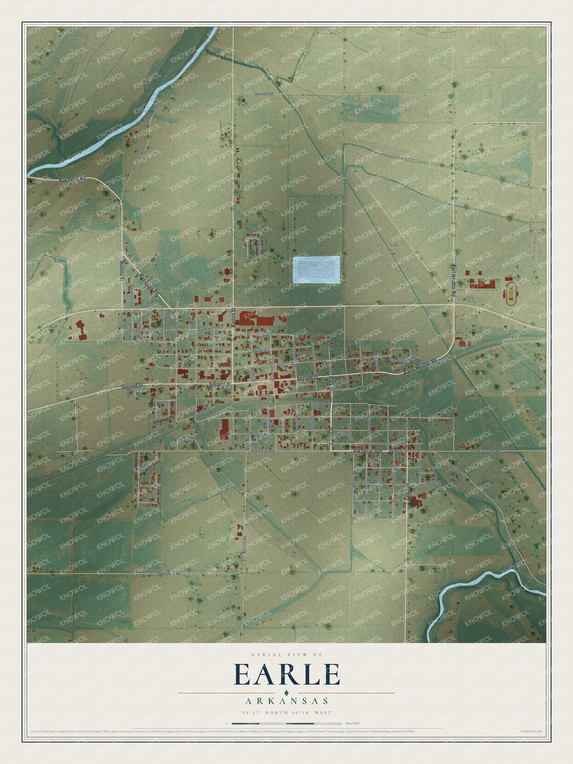
This beautifully detailed map of Earle, Arkansas was created in 2026 using aerial imagery combined with modern topographical, census, street and landmark data. It's a modern aerial view of Earle in Crittenden County, Arkansas, that combines modern data with a vintage aesthetic. The roads feature printed names, and if you look closely you can find your exact house accurately shown in its correct location.
Explore an aerial view of Earle, Arkansas
On this map you'll find Norvell, Arkansas Avenue, Cross Street, Park Street, Barton Street, Bay Ferry Road, Rollins Street, Earle Heaffer Road, Second Street, Earl Heaffer Road, Lee Avenue, Stone Street, and more. Each red shape is a building, so zoom in on the preview and look for yours.
Earle has a story worth telling. The CALS Encyclopedia of Arkansas puts it this way: "When the railroad through Earle was built in 1888, Earle’s widow built a small depot to encourage trains to stop there; she named it for her late husband."
Earle is a city in Crittenden County.
Take a closer look at the Earle map
Names on this map
These names are printed on this map.
Places: Norvell.
Streets and roads: Arkansas Avenue, Cross Street, Park Street, Barton Street, Bay Ferry Road, Rollins Street, Earle Heaffer Road, Second Street, Earl Heaffer Road, Lee Avenue, Stone Street, Alabama Avenue.
More street names, A to Z
Angela, Arkansas Circle, Arkansas Street, Armstrong Avenue, Bailey Street, Barham Street, Brown Street, Carroll Cloar Avenue, Cartright Street, Cartwright Street, Central Avenue, Central Street, Cherry Street, Clinton Street, Commerce Street, Crittenden Street, Desha Street, Dixie Park Road, Draper Street, East Court Street, East Elm Street, Exchange Street, Fifth Street, Fourth Street, Franks Corner Road, Fulton Street, Glenn Street, Humphrey Road, Jackson Street, Lee Street, Lincoln Avenue, Main Street, Maple Drive, Mississippi Street, Oak Street, Patterson Avenue, Poinsett Street, Railroad Avenue, Randolph Street, Red Haw Drive, Rhodes Avenue, Rogers Road, Royal Street, Russell Cemetary Road, Ruth Street, Saint Francis Street, Shepard Street, Shirra Avenue, Short Street, Sixth Street, Smith Street, South Elm Street, South Street, State Street, Sundown Drive, Swindle Road, Tennessee Street, Third Street, Third Street Circle, Throgmartin Street, Tulip Street, Vera Street, West Court Street, Whitman Street.
Created by KNOWOL in 2026. The buildings are small red shapes, the roads carry their printed names, and shaded relief shows the shape of the land. The title panel reads "AERIAL VIEW OF EARLE ARKANSAS" with 35°17' NORTH 90°28' WEST.
It looks right in a kitchen, an office or a den, and it's a gift for anyone who grew up in Earle or moved away. Open the preview and find your street. See sizes and frames for the Earle map.