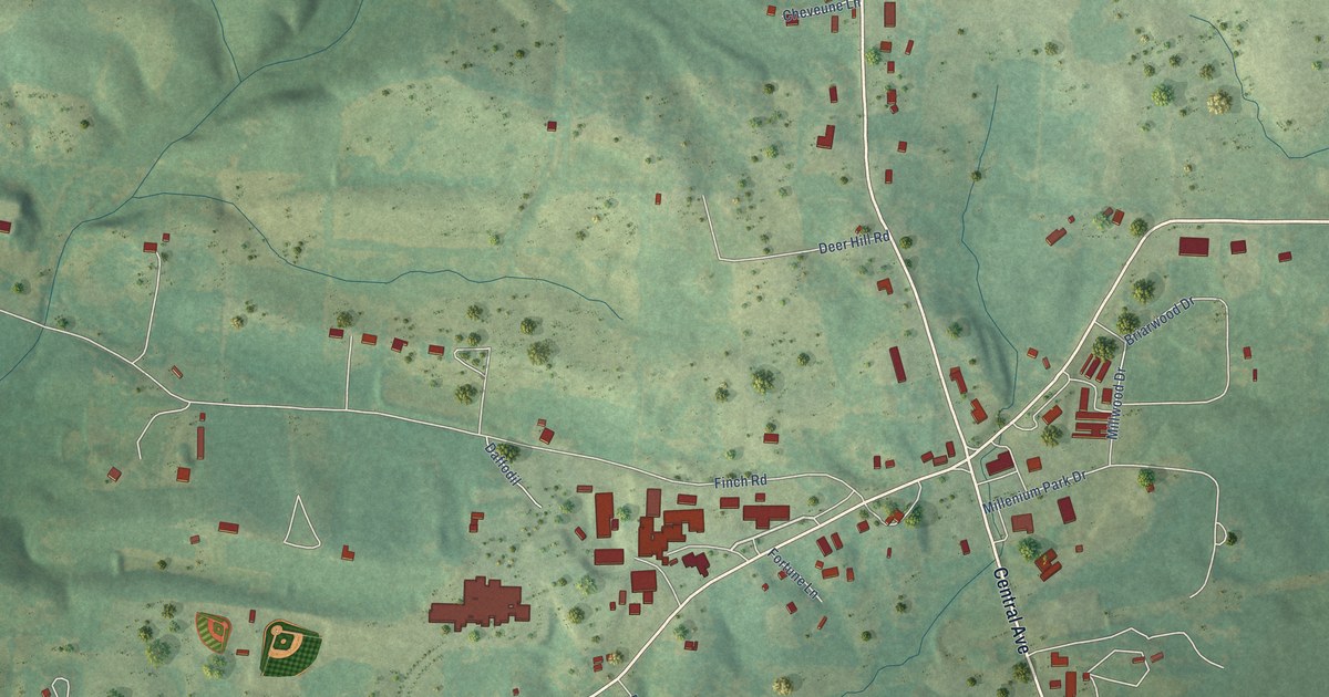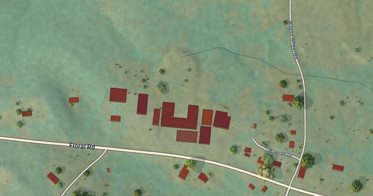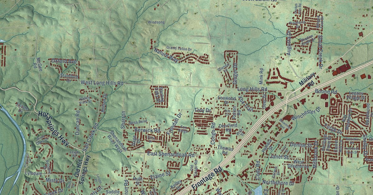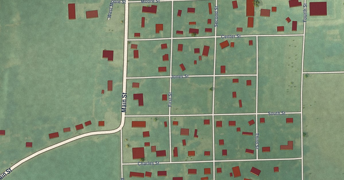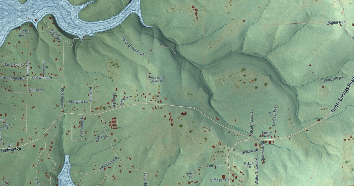
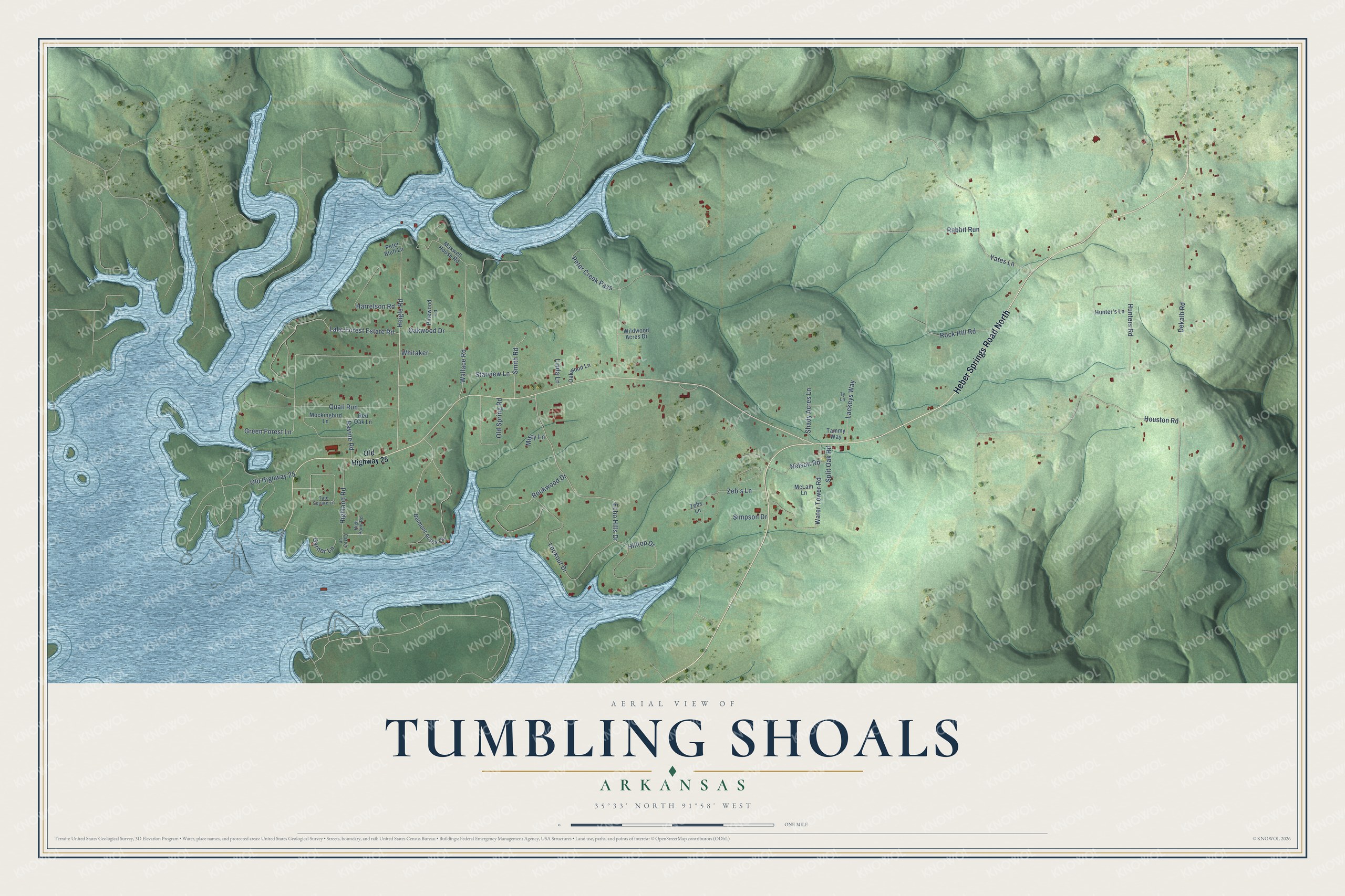
This beautifully detailed map of Tumbling Shoals, Arkansas was created in 2026 using aerial imagery combined with modern topographical, census, street and landmark data. It's a modern aerial view of Tumbling Shoals in Cleburne County, Arkansas, that combines modern data with a vintage aesthetic. The roads feature printed names, and if you look closely you can find your exact house accurately shown in its correct location.
Explore an aerial view of Tumbling Shoals, Arkansas
On this map you'll find Heber Springs Road North, Heigle Road, Ravine Road, Nelson Road, Highland Road, Peter Creek Pass, Dekalb Road, Yates Lane, Green Forest Lane, Lake Forest Estate Road, Wallace Road, Houston Road, and more. Each red shape is a building, so zoom in on the preview and look for yours.
Every town has a first chapter, and Tumbling Shoals is no exception. In the 1880s William V. Greer, known as Bud, ran a ferry on the Little Red River just above the place then called Tumbling Shoals. The Cleburne County community of Greers Ferry, the dam and the lake all took their name from his ferry. In 1912 work began on a bridge over the river at Tumbling Shoals. That's from the Encyclopedia of Arkansas.
Tumbling Shoals is a community in Cleburne County. The Census Bureau counted 902 people here in 2020.
Take a closer look at the Tumbling Shoals map
Names on this map
These names are printed on this map.
Streets and roads: Heber Springs Road North, Heigle Road, Ravine Road, Nelson Road, Highland Road, Peter Creek Pass, Dekalb Road, Yates Lane, Green Forest Lane, Lake Forest Estate Road, Wallace Road, Houston Road.
More street names, A to Z
Belmont Acres Circle, Carter Lane, Echo Hills Drive, Garner Lane, Harrelson Road, High Point Road, Hilltop Drive, Hunter's Lane, Hunters Road, Lackeys Way, Linda Lane, Lookout Drive, Maxwell House Road, McLain Lane, Misty Lane, Mockingbird Lane, Oakwood Drive, Oakwood Lane, Old Highway 25, Old Spring Road, Peter Bluff Lane, Pinewood Lane, Quail Run, Rabbit Run, Red Oak Lane, Rock Hill Road, Rockwood Drive, Shady Acres Lane, Simpson Drive, Smith Road, Split Oak Road, Starview Lane, Tammy Way, Tate Square Lane, Ty Lane, Water Tower Road, Whitaker, Wildwood Acres Drive, Zeb's Lane, Zebs Lane.
See it on a wall
The Tumbling Shoals map as a framed print. Swipe for more.


Created by KNOWOL in 2026. The buildings are small red shapes, the roads carry their printed names, and shaded relief shows the shape of the land. The title panel reads "AERIAL VIEW OF TUMBLING SHOALS, ARKANSAS" with 35°33' NORTH 91°58' WEST.
Hang it in the hallway, the office or the cabin, or give it to someone who left Tumbling Shoals and still calls it home. Open the preview and look for a street you know. See sizes and frames for the Tumbling Shoals map.