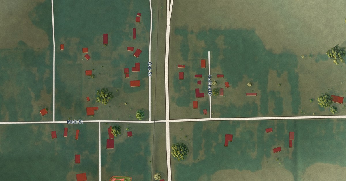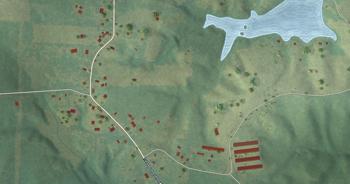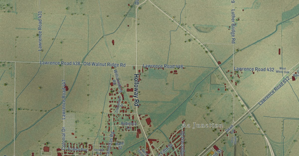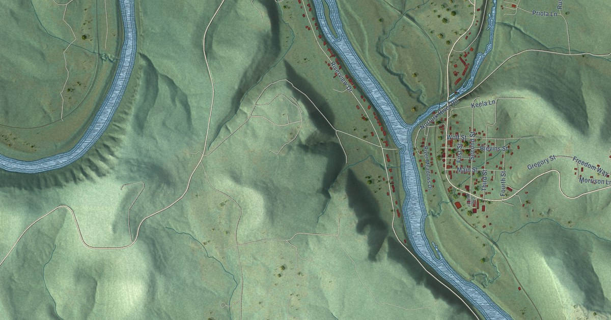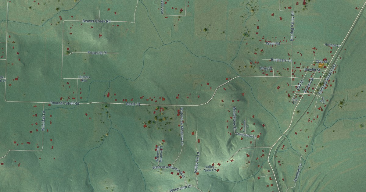
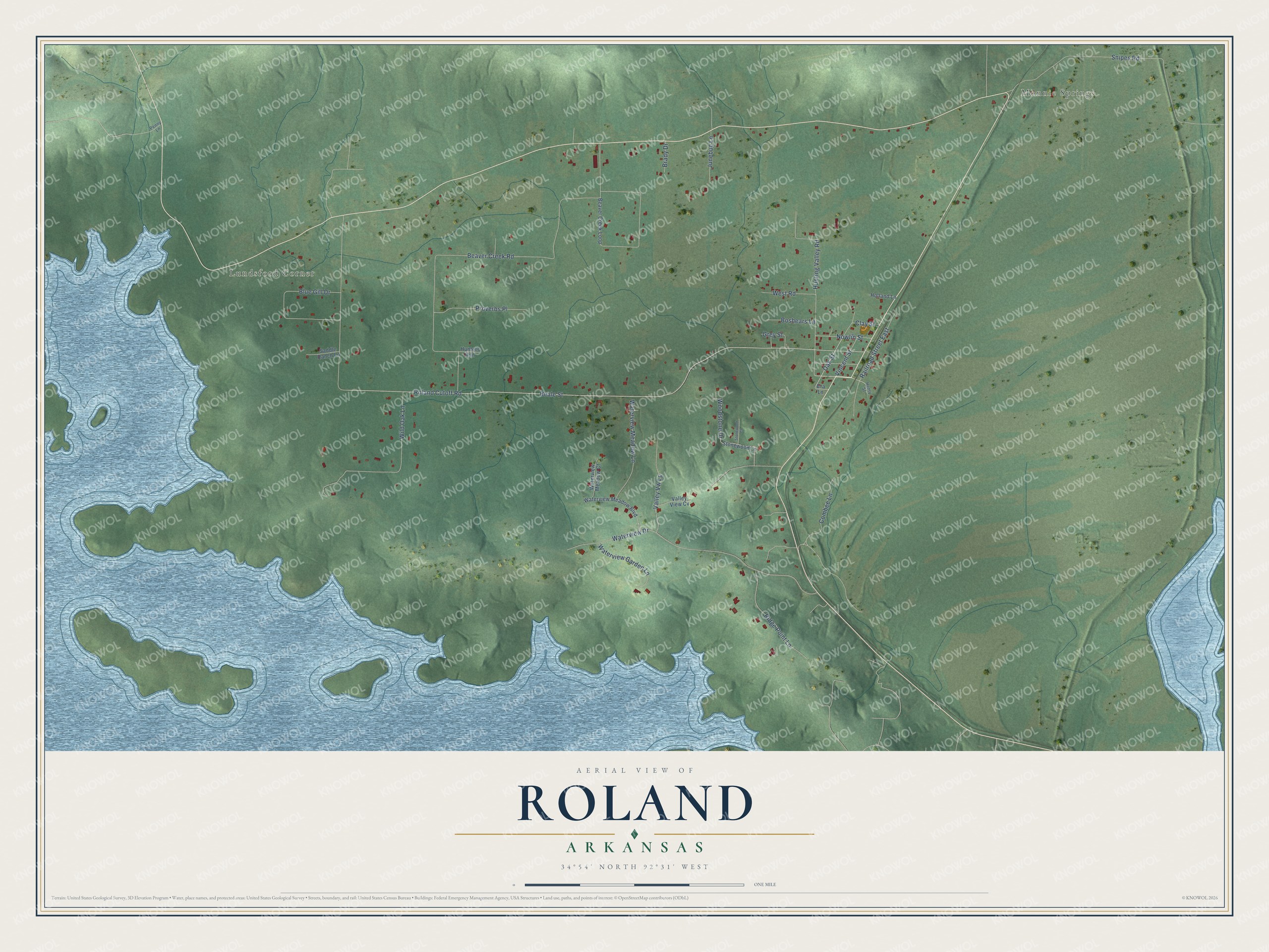
This beautifully detailed map of Roland, Arkansas was created in 2026 using aerial imagery combined with modern topographical, census, street and landmark data. It's a modern aerial view of Roland in Pulaski County, Arkansas, that combines modern data with a vintage aesthetic. The roads feature printed names, and if you look closely you can find your exact house accurately shown in its correct location.
Explore an aerial view of Roland, Arkansas
On this map you'll find Monnie Springs, Lundsford Corner, Oak Street, Roland Cutoff Road, Beale Street, Beaver Creek Road, Waterview Drive, Wild Oak Lane, Snipes Road, Blue Gill Drive, West Road, Railroad Street East, and more. Each red shape is a building, so zoom in on the preview and look for yours.
Roland has a story worth telling. The Roland post office opened in 1884, several years before the railroad came, and was most likely named for its first postmaster. Roland then became a stop on the 151-mile line that the Choctaw, Oklahoma and Gulf Railroad finished by 1900 to link Little Rock with Indian Territory. Around 1915, five Italian families settled nearby, and the cemetery for their St. Francis church was laid out in Roland on land given by John Segalla. That's from the Encyclopedia of Arkansas.
Roland is a community in Pulaski County. The Census Bureau counted 820 people here in 2020.
Take a closer look at the Roland map
Names on this map
These names are printed on this map.
Places: Monnie Springs and Lundsford Corner.
Streets and roads: Oak Street, Roland Cutoff Road, Beale Street, Beaver Creek Road, Waterview Drive, Wild Oak Lane, Snipes Road, Blue Gill Drive, West Road, Railroad Street East, Ridge Point Lane, Waterview Meadow Lane.
More street names, A to Z
Beaver Creek Loop, Boshears Lane, Brady Drive, Clay Street, Combee Lane, Era Lane, Grey Street, Henry Street, Holland Lane, Hunters Run, Hunting Valley Road, Junebug Lane, Nowlin Street, Penny Lane, Proverbs Place, Saddle Ranch Lane, Stonewood Court, Stonewood Lane, Valley View Cv, Valley Vw Lp, Vincent Street, Waterview Garden Lane, Waterview Meadow Boulevard, Waterview Meadow Court, Woodstone Drive.
See it on a wall
The Roland map as a framed print. Swipe for more.


Created by KNOWOL in 2026. The buildings are small red shapes, the roads carry their printed names, and shaded relief shows the shape of the land. The title panel reads "AERIAL VIEW OF ROLAND, ARKANSAS" with 34°54' NORTH 92°31' WEST.
It looks right in a kitchen, an office or a den, and it's a gift for anyone who grew up in Roland or moved away. Open the preview and find your street. See sizes and frames for the Roland map.