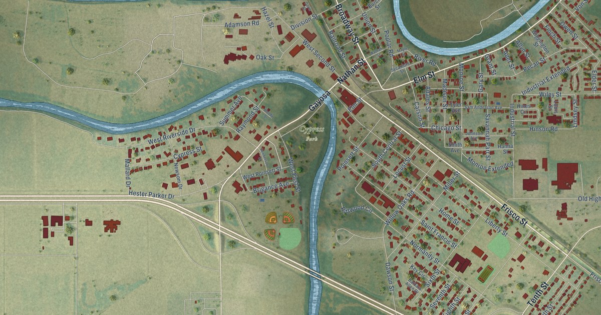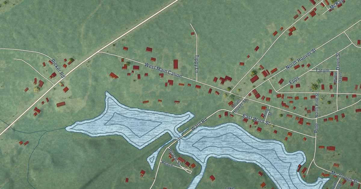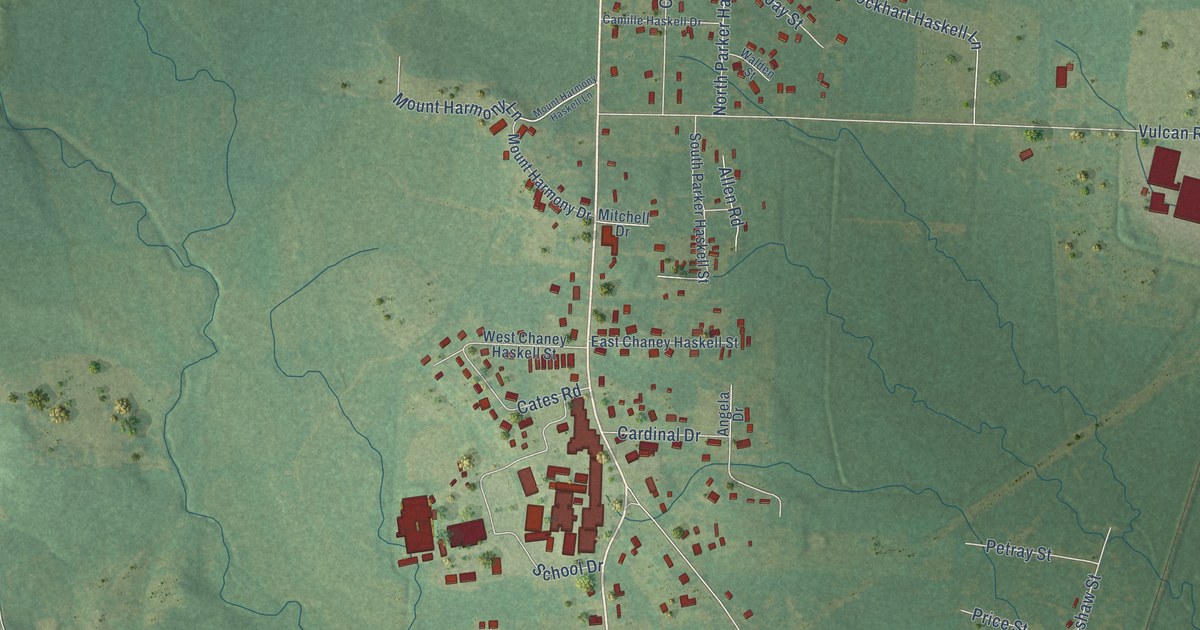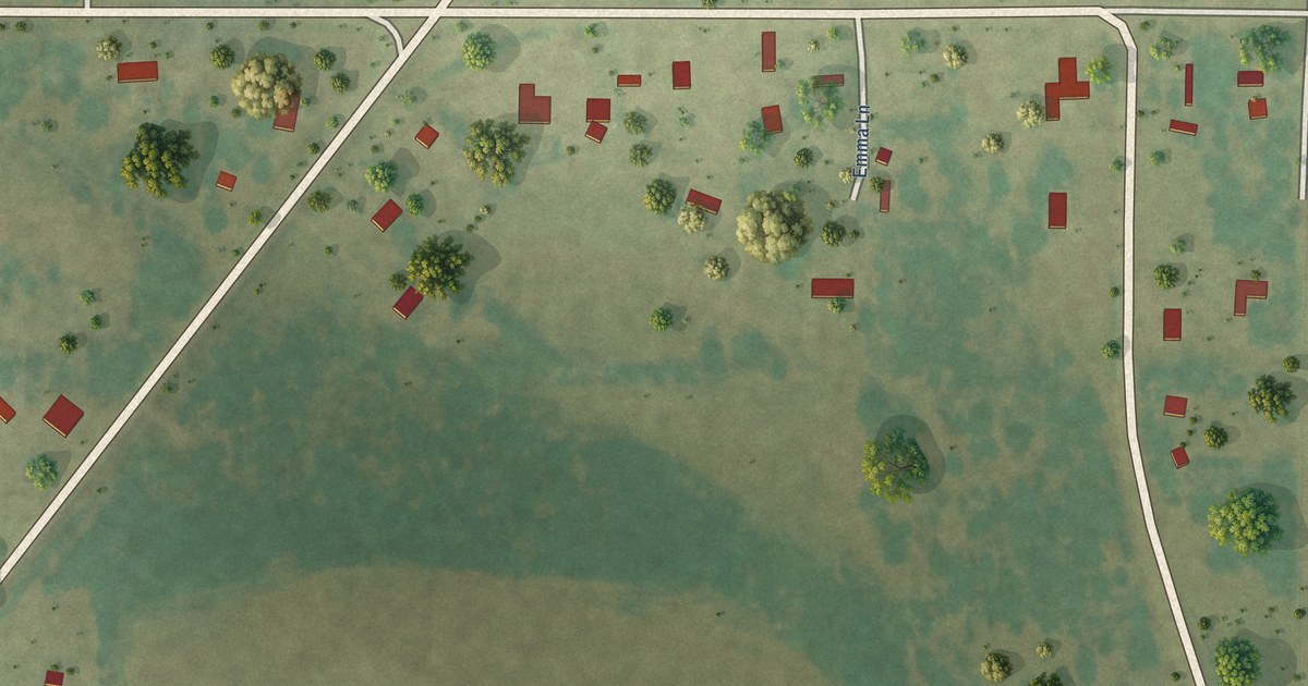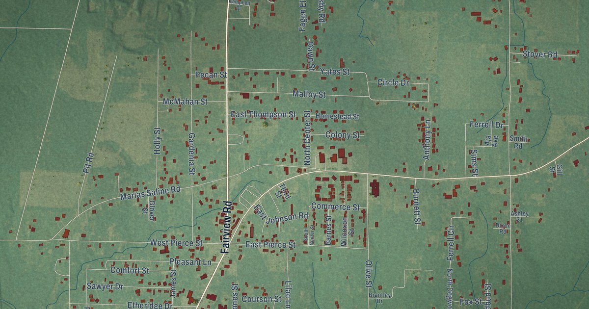
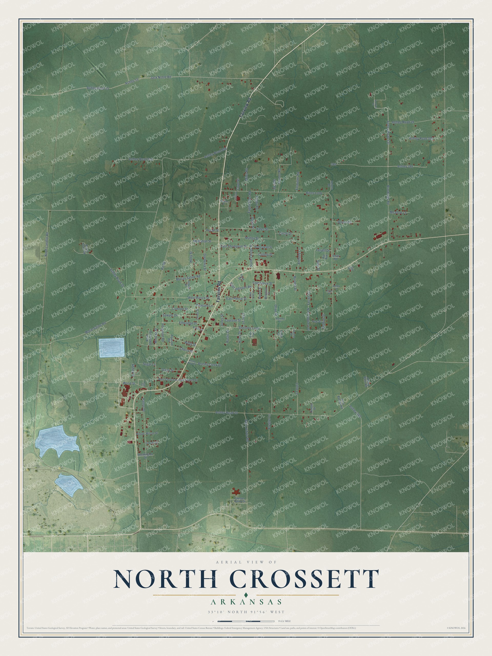
This beautifully detailed map of North Crossett, Arkansas was created in 2026 using aerial imagery combined with modern topographical, census, street and landmark data. It's a modern aerial view of North Crossett in Ashley County, Arkansas, that combines modern data with a vintage aesthetic. The roads feature printed names, and if you look closely you can find your exact house accurately shown in its correct location.
Explore an aerial view of North Crossett, Arkansas
On this map you'll find Fairview Road, Ashley Road 437, Ashley 386, Ferrell Circle, Ashley Road 20, Jack Noble Road, Binns Loop, Sheltons Loop, Ashley 15, Brookings Road, Marias Saline Road, North Landfill Road, and more. Each red shape is a building, so zoom in on the preview and look for yours.
Every town has a first chapter, and North Crossett is no exception. North Crossett grew up beside the sawmill town of Crossett, where in the early 1900s the Crossett Lumber Company owned all the land, the mills and the houses. Because some found the company town planning too restrictive, North Crossett took shape as an unincorporated place for the growing population. The lumber company behind it was incorporated in 1899 by investors from Davenport, Iowa. Edgar Woodward Gates, known as Cap, came south to buy timberland and oversee building the sawmill and the town. That's from the Encyclopedia of Arkansas.
North Crossett is a community in Ashley County. The Census Bureau counted 2,756 people here in 2020.
Take a closer look at the North Crossett map
Names on this map
These names are printed on this map.
Streets and roads: Fairview Road, Ashley Road 437, Ashley 386, Ferrell Circle, Ashley Road 20, Jack Noble Road, Binns Loop, Sheltons Loop, Ashley 15, Brookings Road, Marias Saline Road, North Landfill Road.
More street names, A to Z
Abney Street, Aja Avenue, Anthony Lane, Ashley 21, Ashley 356, Ashley Road 10, Ashley Road 15, Ashley Road 19, Ashley Road 385, Ashley Road 808, Ashley Road 815, Barnes Street, Birdie Clark Road, Boothe Circle, Brantley Drive, Brooking Road, Brushy Creek Drive, Brushy Creek Road, Burnett Street, Campbell Drive, Carter Lane, Cemetery Street, Cherry Street, Chester Ashley Drive, Circle Drive, Colony Street, Comfort Street, Commerce Street, Cope Street, Courson Street, Daisy Street, Dawn Street, Dixon Road, East Church Street, East Johnson Road, East Pierce Street, East Thompson Street, Etheridge Drive, Fagen Elton Road, Ferguson Road, Ferrell Drive, Flemister Road, Fox Street, Frisby Road, Gardenia Street, Gardner Road, Gill Street, Glover Street, Holly Street, Homestead Street, James Street, Jerry Barnett Road, Johnny Bolin Road, Jones Street, Kerry Drive, Kreglyn Lane, Lilac Lane, Lincoln Street, Little Lane, Malloy Street, Marie Saline Road, McMahan Street, Meadow Lane, Miles Road, Mimosa Street, North Center Street, North Chestnut Street, North Dogwood Street, Olive Street, Patton Drive, Pecan Street, Pipeline Road, Pit Road, Pleasant Lane, Pope Street, Ray Lochala Road, Redbud Street, Rustic Drive, Sawyer Drive, School Loop, Self Road, Sellers Road, Sims Street, Smith Road, South Center Street, Stover Road, Sugar Lane, Sunset Drive, Third Street, Vernon Road, Washington Street, West Church Street, West Pierce Street, Wilcoxon Street, Willis Street, Wilson, Wilson Street, Wood Street, Yates Street.
See it on a wall
The North Crossett map as a framed print. Swipe for more.


Created by KNOWOL in 2026. The buildings are small red shapes, the roads carry their printed names, and shaded relief shows the shape of the land. The title panel reads "AERIAL VIEW OF NORTH CROSSETT, ARKANSAS" with 33°10' NORTH 91°56' WEST.
Hang it in the hallway, the office or the cabin, or give it to someone who left North Crossett and still calls it home. Open the preview and look for a street you know. See sizes and frames for the North Crossett map.