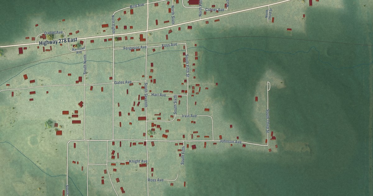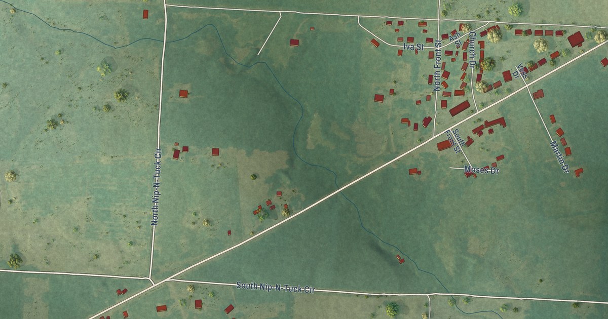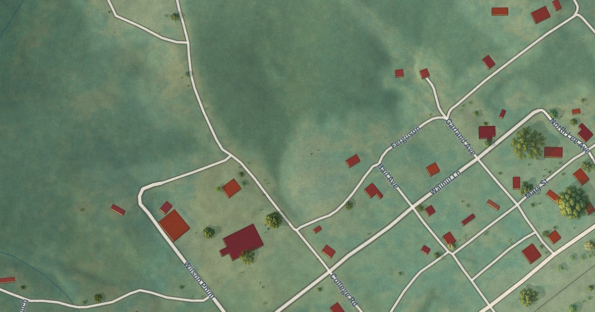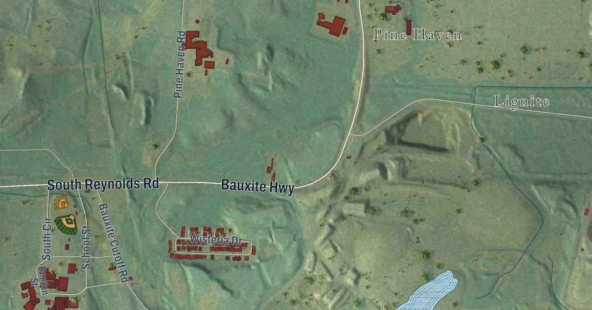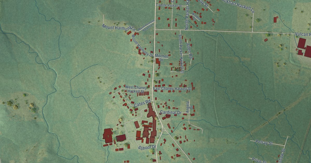
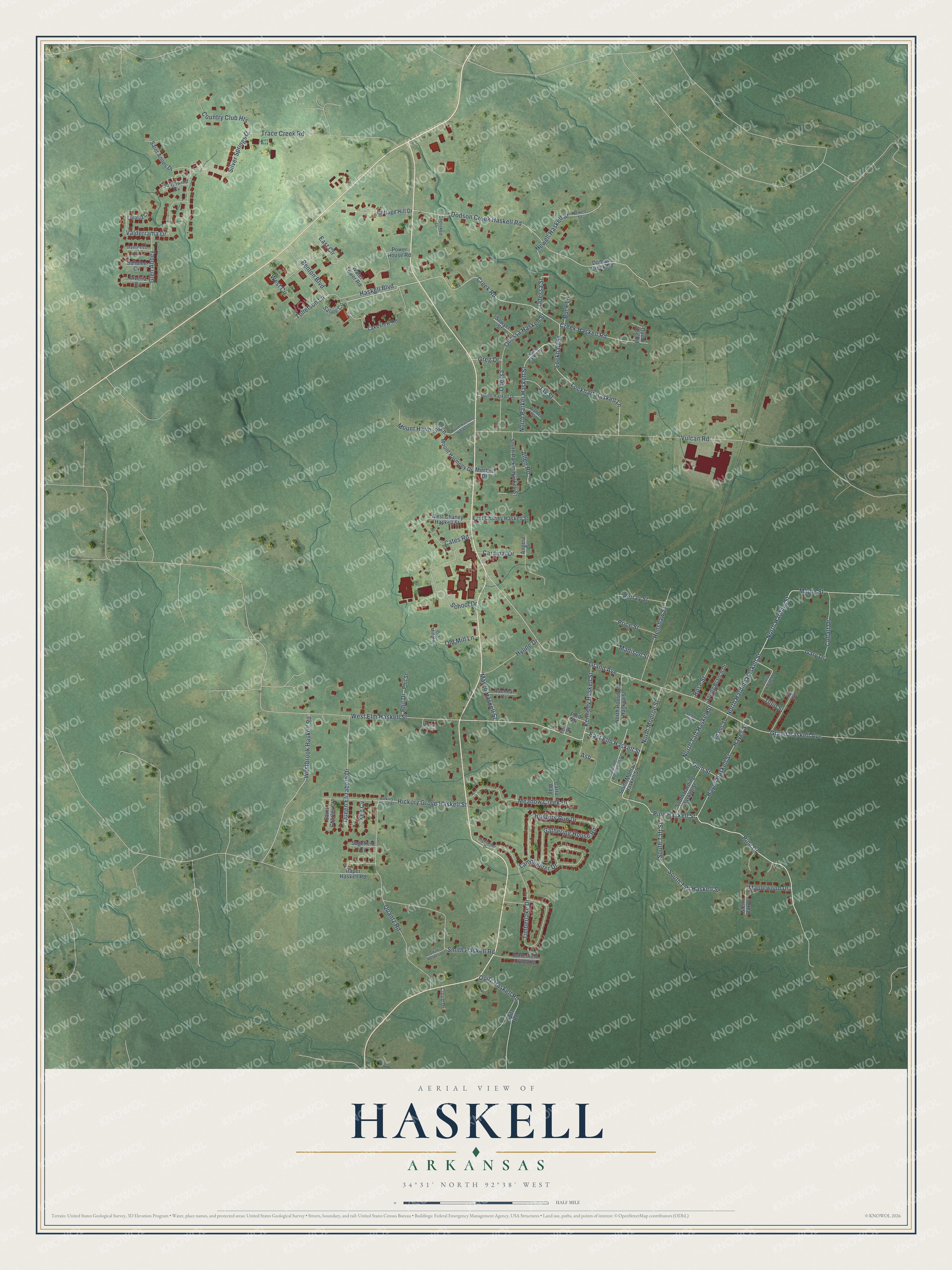
This beautifully detailed map of Haskell, Arkansas was created in 2026 using aerial imagery combined with modern topographical, census, street and landmark data. It’s a one-of-a-kind view of Haskell that combines accurate data with a vintage aesthetic. The map shows every building in its true location, many of the roads carry their names, and the shaded topographic relief shows the shape of the land.
Explore an aerial view of Haskell, Arkansas
On the map you’ll find Ash, along with Pine Haskell Street, East Elm Haskell Street, Haskell Boulevard, Tollefson Lane, North Harding Haskell Street, North Harding Street, Grand Avenue, Grand Haskell Avenue, Vulcan Road, Dodson Creek Haskell Road, Creek Haskell Road, and more. If you look closely you can even find your house accurately drawn in its correct location. Zoom in on the preview to look for yours.
Did you know this piece of Haskell, Arkansas history?
From the CALS Encyclopedia of Arkansas: "The name Haskell reportedly was selected because it was the first name of the man who donated land for the Rock Island system, Haskell Dickenson. Dickenson was the first postmaster at the depot when a post office was established in 1906; he also ran a general store and a hotel."
Haskell is a city in Saline County.
Take a closer look at the Haskell map
Street names on the Haskell, Arkansas map
These names are printed on the map of Haskell, Arkansas.
Streets and roads: Pine Haskell Street, East Elm Haskell Street, Haskell Boulevard, Tollefson Lane, Ash, North Harding Haskell Street, North Harding Street, Grand Avenue, Grand Haskell Avenue, Vulcan Road, Dodson Creek Haskell Road, Creek Haskell Road.
More street names, A to Z
Adams Street, Allen Road, Angela Drive, Benton Boulevard, Buck Lane, Butterfield Crossing, Camille Haskell Drive, Cardinal Drive, Carla Way, Carman Lane, Cates Road, Cedar Street, Cherokee Drive, Cloud Drive, Collatt Drive, Cottage Hill Drive, Country Club Heights, Creek Road, David Lee Road, Dodson Creek Road, East Chaney Haskell Street, East Circle, Ford Drive, Ford Street, Gary Drive, Gathering House Road, Glen Abbey, Glenn Oak Drive, Greg Drive, Gum Street, Hayes Haskell Street, Hayes Street, Henshaw Street, Hickory Grove Haskell Street, Hickory Grove Street, Highlander Drive, Hunters Run Drive, Hyline Drive, Inverness Cv, Iris Street, Jay Street, Kapalua Cv, Kee Cv, Kennedy Haskell Street, Lakeview Road, Lamplighter Drive, Lockhart Haskell Lane, Lockhart Street, Madison Street, Maple Street, Maplewood Drive, Margo Haskell Street, Meadow Creek Drive, Mitchell Drive, Mount Harmony Drive, Mount Harmony Haskell Lane, Mount Harmony Lane, Newell Haskell Street, Newell Street, North Monroe Street, North Parker Haskell Street, North Parker Street, North Roosevelt Haskell Street, North Taft Haskell Street, Odessa, Odessa Haskell Street, Odessa Street, Old Mill Lane, Old Mill Road, Opitz Haskell Road, Opitz Road, Petray Street, Phil Drive, Phil Street, Pine Drive, Power House Road, Price Street, Quantz Road, Queen Elizabeth Drive, Racheal Cv, Raper Haskell Road, Riveria Cv, Rose Street, Sagefield Cv, Sahalee Cv, Saint Annes Drive, Saint Charles Court, Saline Circle, Sawyer Street, School Drive, Silver Springs Drive, Smith Haskell Lane, Smith Haskell Road, South Harding Haskell Street, South Monroe Haskell Street, South Parker Haskell Street, South Roosevelt Street, South Taft Haskell Street, South Taft Street, Southwind Cv, Spring Branch Drive, Timberlake Drive, Trace Creek Road, Tulip Haskell Street, Tulip Street, Valderrama Drive, Walden Street, Water Tower Road, Westbrook Haskell Road, West Chaney Haskell Street, West Circle, West Elm Haskell Street.
See the Haskell, Arkansas map on a wall
The Haskell map as an 18 x 24 inch print in a black frame.

This beautifully detailed map of Haskell makes an attractive addition to your office, library, or den, and it can even be used to teach children the geography and history of the area. It also makes a great gift for someone who left Haskell and still calls it home. When you’re done exploring, click here to get your copy of the Haskell map.