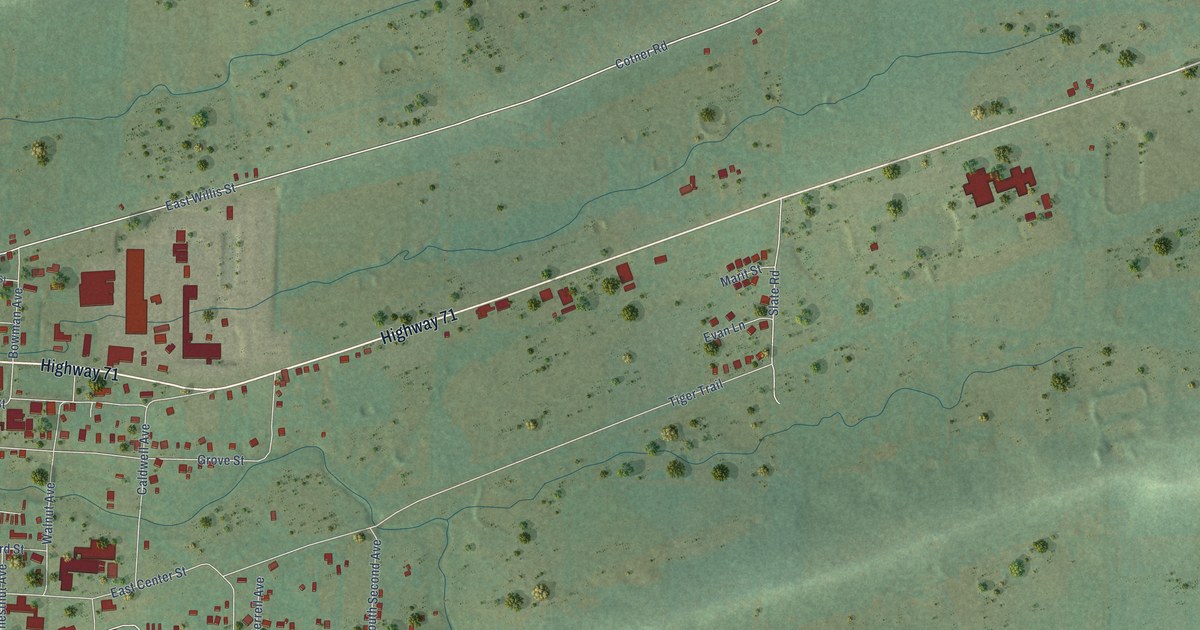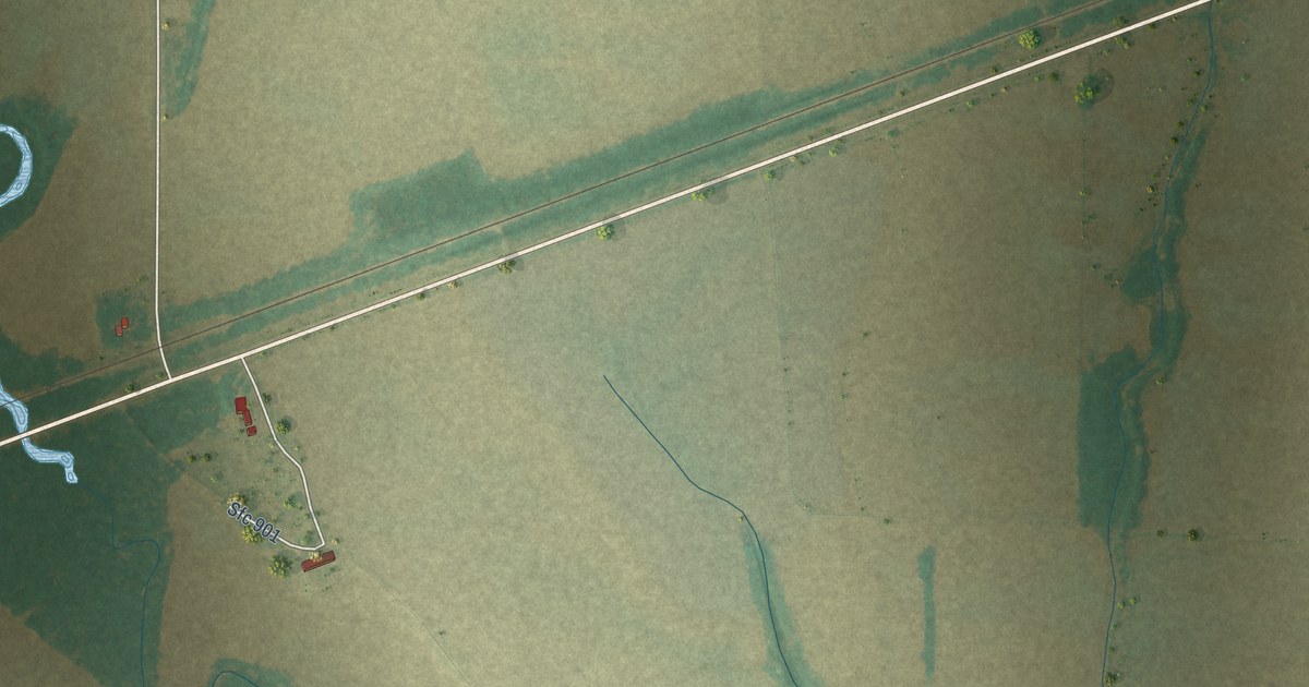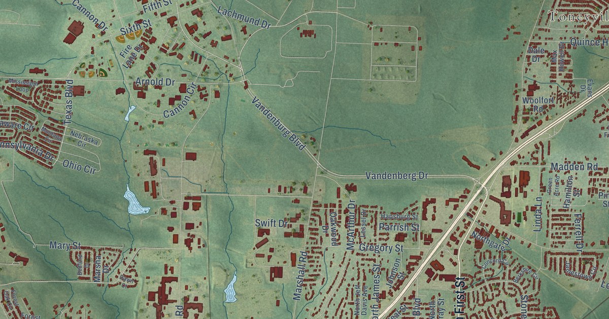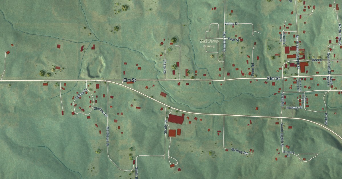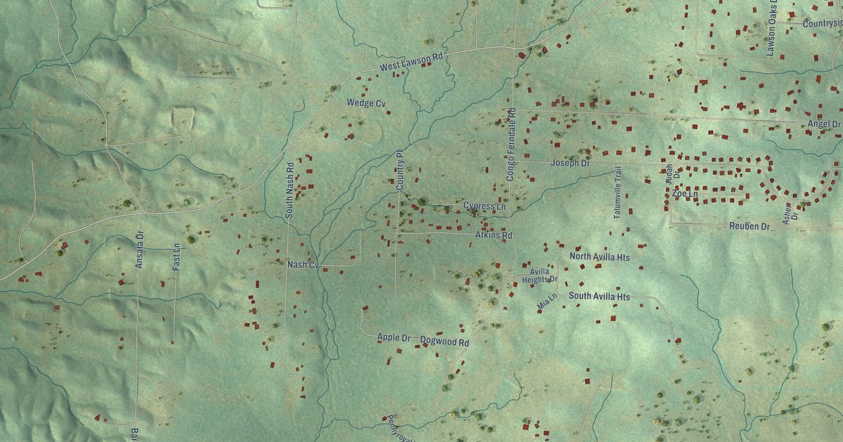
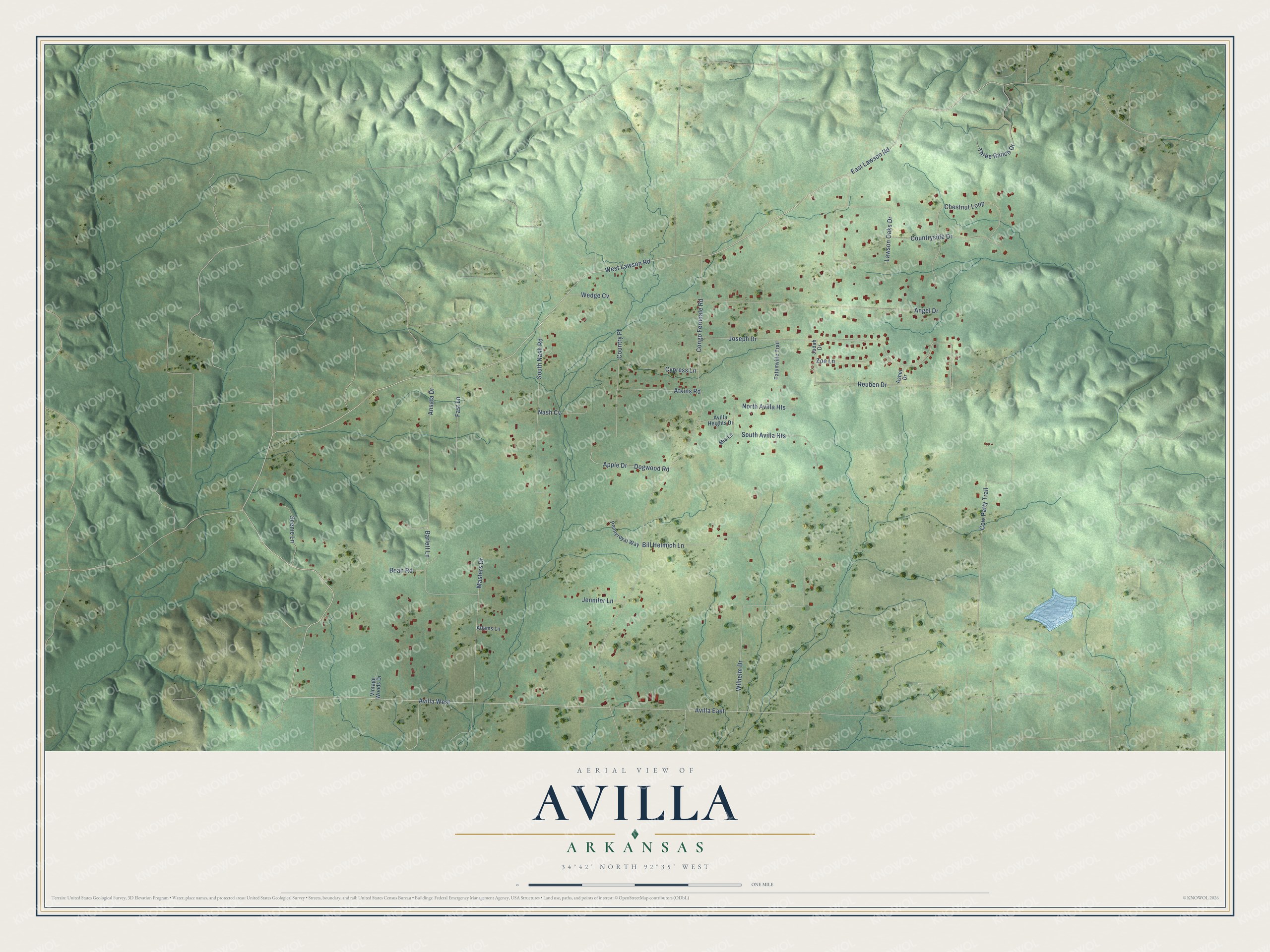
This beautifully detailed map of Avilla, Arkansas was created in 2026 using aerial imagery combined with modern topographical, census, street and landmark data. It's a modern aerial view of Avilla in Saline County, Arkansas, that combines modern data with a vintage aesthetic. The roads feature printed names, and if you look closely you can find your exact house accurately shown in its correct location.
Explore an aerial view of Avilla, Arkansas
On this map you'll find West Lawson Road, East Lawson Road, Avilla West, Avilla East, Reuben Drive, Congo Ferndale Road, Joseph Drive, Wilhelm Drive, Lawson Oaks Drive, Angel Drive, Bean Road, South Nash Road, and more. Each red shape is a building, so zoom in on the preview and look for yours.
Here is a piece of Avilla history. Avilla was founded by settlers from Saxony in Germany. Five men and one woman arrived in 1881, built a log Colony House and began a settlement they called Hope Colony. Eighty more Saxons came within a year and founded Zion Evangelical Lutheran Church and School. Railroad ads praising Arkansas life had drawn them from Germany. Worship and school lessons at the Lutheran church were in German until the 1940s. That's from the Encyclopedia of Arkansas.
Avilla is a community in Saline County. The Census Bureau counted 1,325 people here in 2020.
Take a closer look at the Avilla map
Names on this map
These names are printed on this map.
Streets and roads: West Lawson Road, East Lawson Road, Avilla West, Avilla East, Reuben Drive, Congo Ferndale Road, Joseph Drive, Wilhelm Drive, Lawson Oaks Drive, Angel Drive, Bean Road, South Nash Road.
More street names, A to Z
Adams Lane, Ansata Drive, Apple Drive, Asher Drive, Atkins Road, Avilla Heights Drive, Barlett Lane, Bill Helmich Lane, Chestnut Loop, Country Place, Countryside Drive, Cow Patty Trail, Cypress Lane, Dogwood Road, Fast Lane, Jennifer Lane, Judah Drive, Masters Drive, Mia Lane, Nash Cv, North Avilla Heights, Pennyroyal Way, Scenic Lane, South Avilla Heights, Tatumville Trail, Three Ranch Drive, Vintage Woods Drive, Wedge Cv, Zoe Lane.
See it on a wall
The Avilla map as a framed print. Swipe for more.


Created by KNOWOL in 2026. The buildings are small red shapes, the roads carry their printed names, and shaded relief shows the shape of the land. The title panel reads "AERIAL VIEW OF AVILLA, ARKANSAS" with 34°42' NORTH 92°35' WEST.
It suits a den, a classroom or a front hall, and it makes a gift for anyone with Avilla roots. Open the preview and find the block you know. See sizes and frames for the Avilla map.