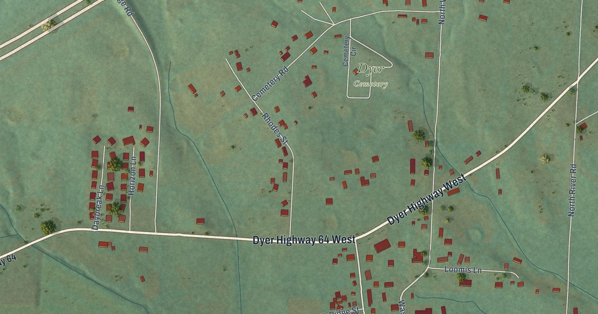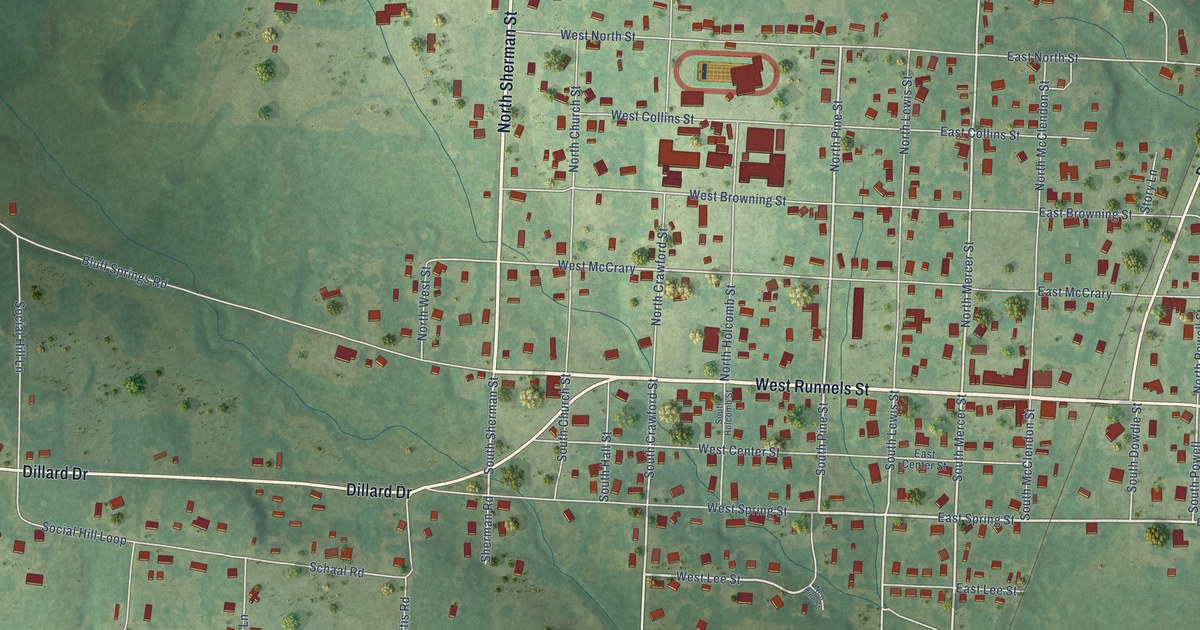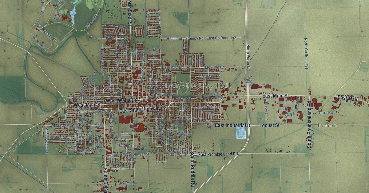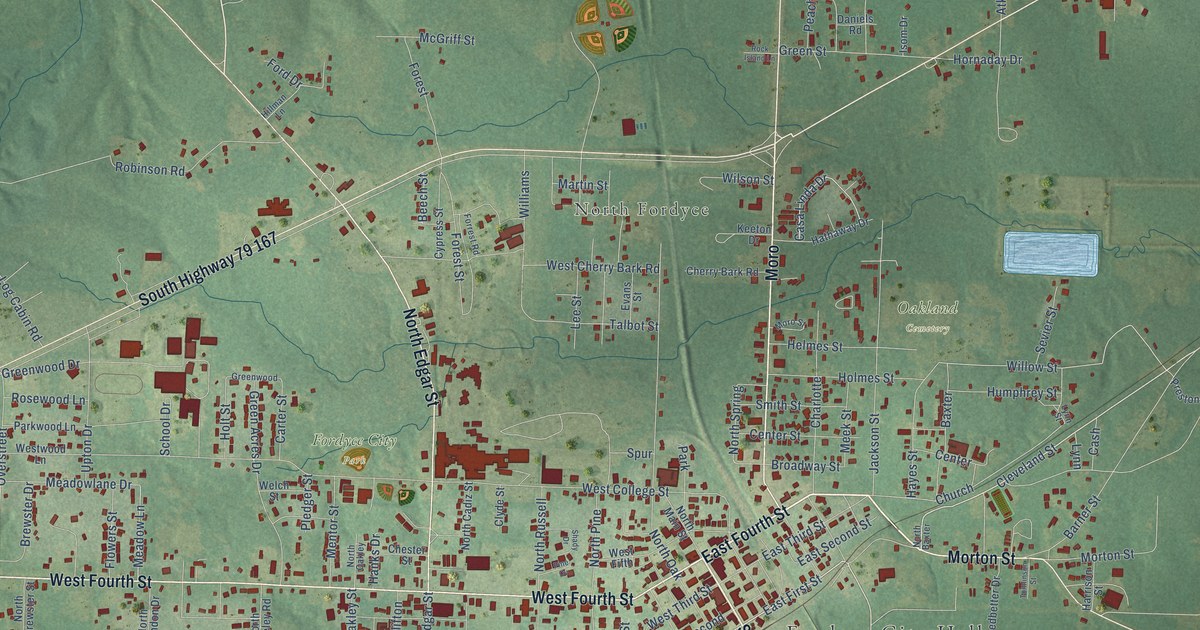
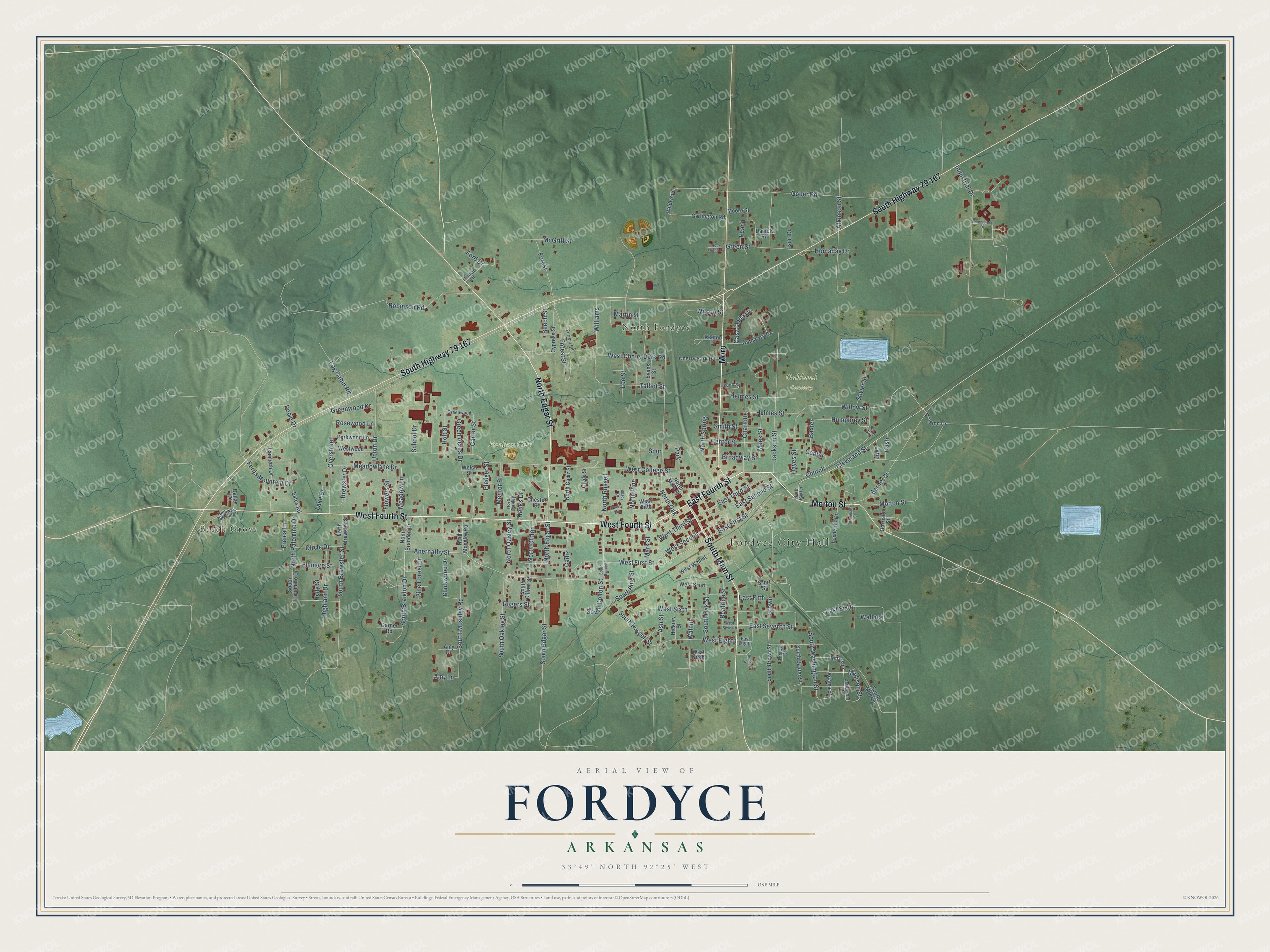
This beautifully detailed map of Fordyce, Arkansas was created in 2026 using aerial imagery combined with modern topographical, census, street and landmark data. It's a modern aerial view of Fordyce in Dallas County, Arkansas, that combines modern data with a vintage aesthetic. The roads feature printed names, and if you look closely you can find your exact house accurately shown in its correct location.
Explore an aerial view of Fordyce, Arkansas
On this map you'll find Fordyce City Hall, Beech Grove, North Fordyce, Fordyce City Park, Oakland Cemetery, East Fourth Street, West Fourth Street, Morton Street, Moro, South Highway 79 167, North Edgar Street, South Main Street, and more. Each red shape is a building, so zoom in on the preview and look for yours.
Here is a piece of Fordyce history, in the words of the record. The CALS Encyclopedia of Arkansas puts it this way: "Located at the intersection of Highways 167 and 79 in south central Arkansas, Fordyce was established in 1882 and named for Colonel Samuel Wesley Fordyce, a railroad builder and developer."
Fordyce is a city in Dallas County.
Take a closer look at the Fordyce map
Names on this map
These names are printed on this map.
Places: Fordyce City Hall, Beech Grove, North Fordyce, Fordyce City Park, Oakland Cemetery and Park.
Streets and roads: East Fourth Street, West Fourth Street, Morton Street, Moro, South Highway 79 167, North Edgar Street, South Main Street, Cleveland Street, East First Street, Barner Street, West First Street, Charlotte.
More street names, A to Z
Abernathy Street, Adams Street, Amy Drive, Amy Lane, Ash Street, Atkinson Street, Baxter, Beatrice Street, Beech Street, Bonner Street, Brewster Drive, Broadway Street, Brown, Cadiz, Carter Street, Casa Linda Drive, Cash, Center, Center Street, Cherry Bark Road, Chester Street, Church, Circle Drive, Clarkwood Drive, Clyde Street, Commercial Drive, Cypress Street, Dallas 171, Daniels Road, East Eighth, East Fifth, East Second Street, East Seventh Street, East Sixth, East Third Street, Estes Road, Evans Street, Ferris Mountain Drive, Fillmore Street, Flowers Street, Ford Drive, Forest, Forest Street, Forrest Road, Freida Lane, Garlington Road, Garner Road, Gober Road, Green Acres Drive, Green Street, Greenwood, Greenwood Drive, Hanks Drive, Harrison Street, Hathaway Drive, Hayes Street, Helmes Street, Hickory Street, Highland Drive, Hillman Lane, Holly Street, Holmes Street, Holt Street, Hornaday Drive, Humphrey Street, Industrial Drive, Isom Drive, Jackson Street, Jefferson, Jefferson Street, Keeton Drive, Lake Drive, Lambeth Drive, Ledbetter Drive, Lee Street, Log Cabin Road, Lynn, Lynn Street, Madison Street, Mark Street, Martin Street, McGriff Street, Meadow Lane, Meadowlane Drive, Meek Street, Mentor Street, Moore Street, Moro Street, North Baxter, North Brandon Drive, North Brewster Street, North Cadiz Street, North Clifton, North Main Street, North Moseley Road, North Oak, North Oakley, North Oakley Street, North Palomino Drive, North Pine, North Russell, North Spring, Overstreet, Parkwood Lane, Peach, Pine Cv, Pine Forest Lane, Pledger Street, Poole Drive, Preston Drive, Robinson Road, Rock Island Lane, Rogers Street, Rosewood Lane, School Drive, Sevier Street, Shady Drive, Short Street, Smith Street, South Baxter Street, South Brandon Drive, South Brewster Street, South Brown Street, South Clifton Street, South Cotton Street, South Edgar Street, South Monroe, South Moseley Road, South Oakley Street, South Oak Street, South Palomino Drive, South Pine Street, South Russell, South Russell Street, South Washington Street, Spur, Talbot Street, Thrower Street, Tomlinson Street, Upton Drive, Wallace, Walnut, Welch Street, West Cherry Bark Road, West College Street, West Eighth, West Fifth, West Ninth, West Second, West Seventh, West Short, West Sixth, West Third Street, West Walnut, Westwood Lane, Wildwood, Williams, Willow Street, Wilson Street.
Created by KNOWOL in 2026. The buildings are small red shapes, the roads carry their printed names, and shaded relief shows the shape of the land. The title panel reads "AERIAL VIEW OF FORDYCE ARKANSAS" with 33°49' NORTH 92°25' WEST.
It suits a den, a classroom or a front hall, and it makes a gift for anyone with Fordyce roots. Open the preview and find the block you know. See sizes and frames for the Fordyce map.