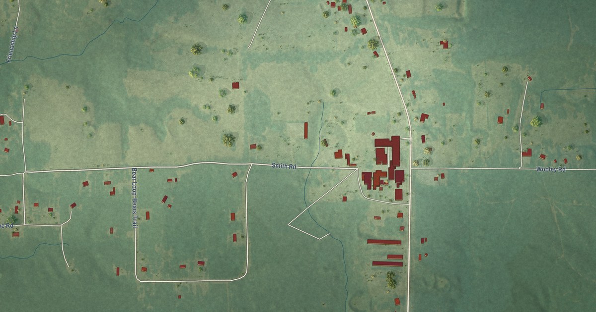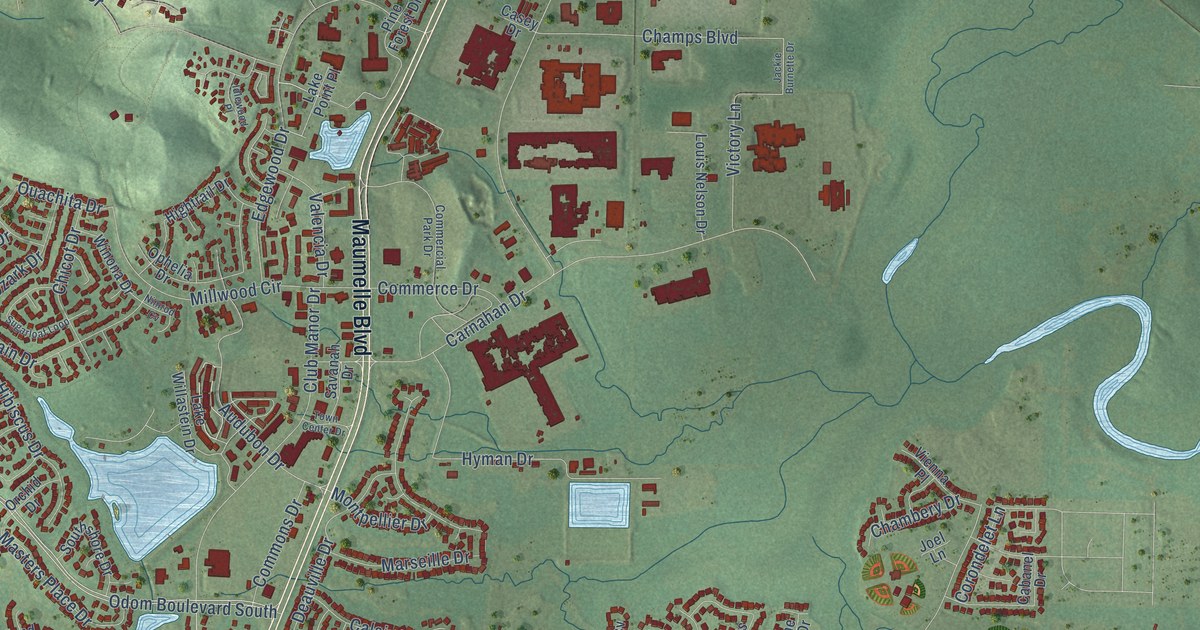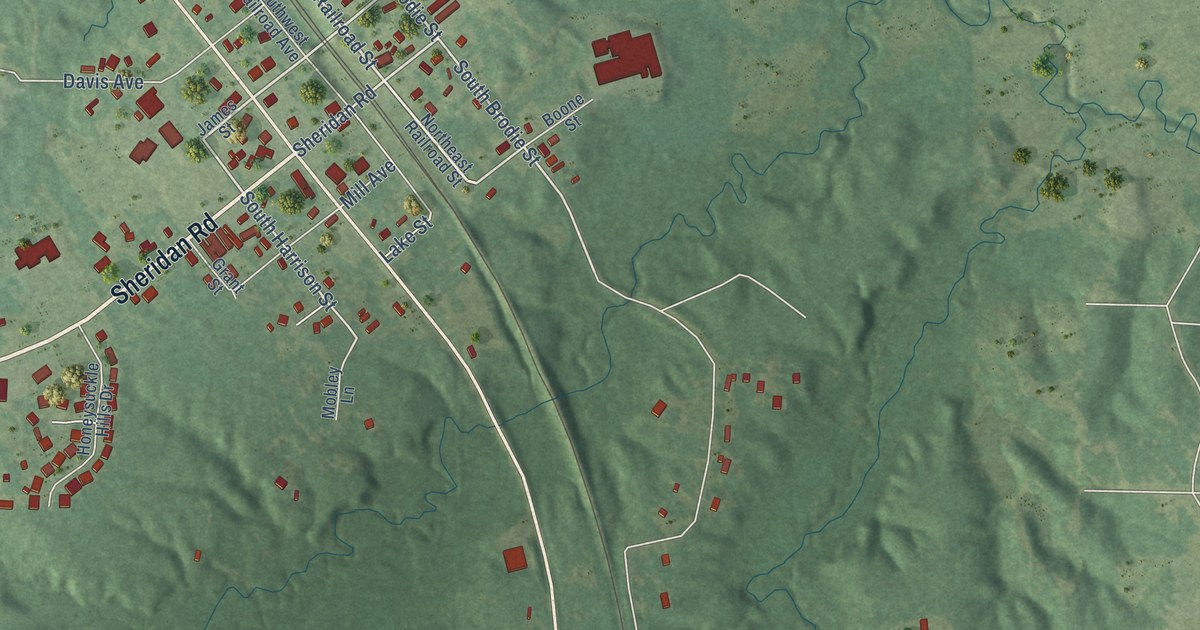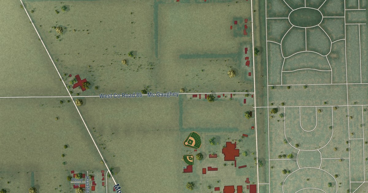
This beautifully detailed map of Gosnell, Arkansas was created in 2026 using aerial imagery combined with modern topographical, census, street and landmark data. It’s a one-of-a-kind view of Gosnell that combines accurate data with a vintage aesthetic. The map shows every building in its true location, many of the roads carry their names, and the shaded topographic relief shows the shape of the land.
Explore an aerial view of Gosnell, Arkansas
On the map you’ll find Gosnell City Hall and Calumet, along with Bevill Avenue, Moody Street, South Air Base Highway, Bethany Street, Cook Street, South Cook Street, Gregg Lane, Maxwell Road, Clement Street, South Gosnell Street, and more. If you look closely you can even find your house accurately drawn in its correct location. Zoom in on the preview to look for yours.
Did you know this piece of Gosnell, Arkansas history?
From the CALS Encyclopedia of Arkansas: "Much of the land between Blytheville and Big Lake was purchased in the late 1800s by Lemael Gosnell, a dentist and pioneer farmer. In time, the community came to be named for him."
Gosnell is a city in Mississippi County.
Take a closer look at the Gosnell map
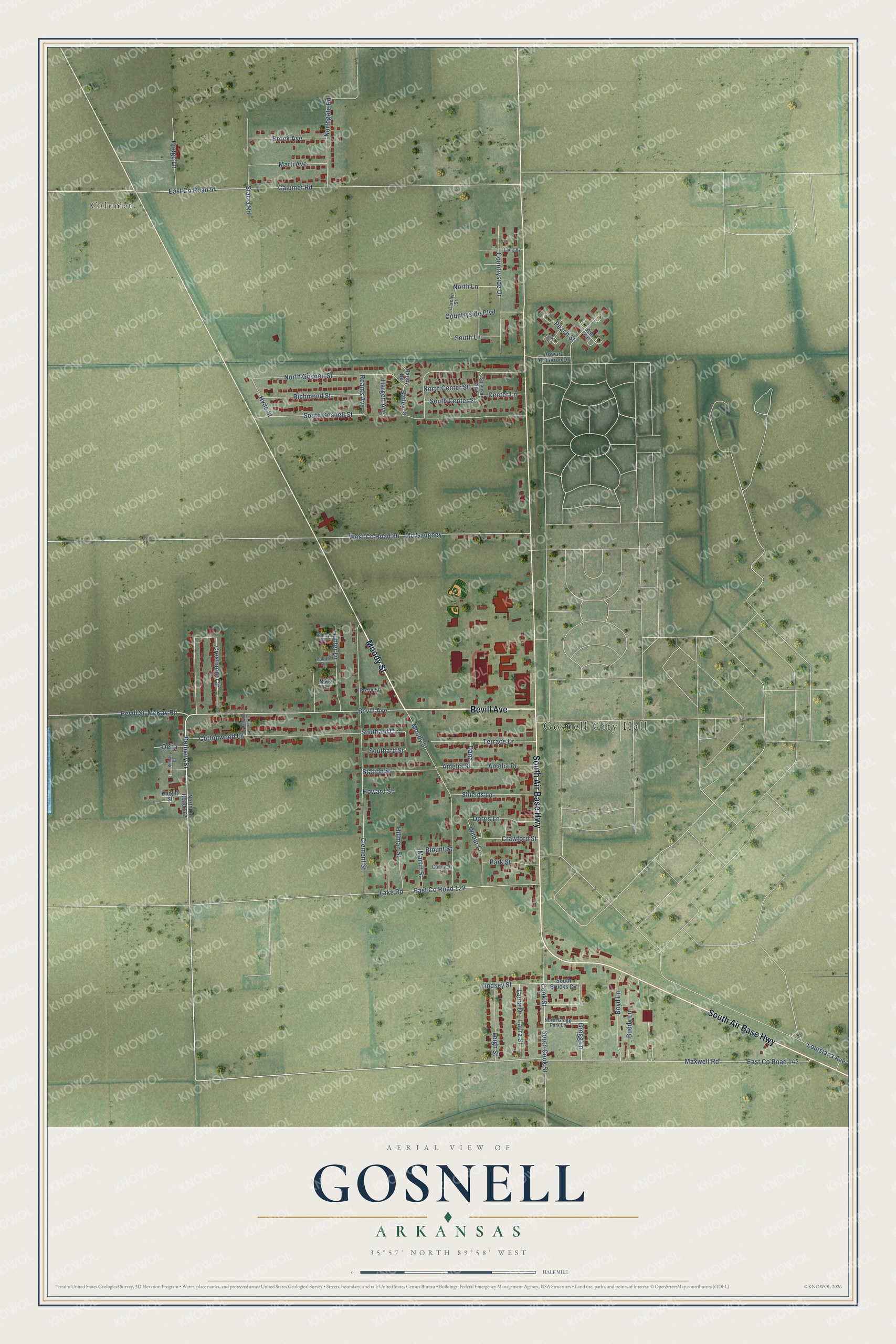
Street and place names on the Gosnell, Arkansas map
These names are printed on the map of Gosnell, Arkansas.
Places: Gosnell City Hall and Calumet.
Streets and roads: Bevill Avenue, Moody Street, South Air Base Highway, Bethany Street, Cook Street, South Cook Street, Gregg Lane, Maxwell Road, Clement Street, South Gosnell Street, North Gosnell Street, West County Road 86.
More street names, A to Z
Amelia Drive, Amelia Street, Ash Court, Bailey Road, Bailey Street, Bethany Court, Bevill Street, Blount Street, Boyd Lane, Brock Avenue, Buddy Lane, Calumet Road, Carolyn Street, Center Lane, Connealy Lane, Cottonwood Lane, Countryside Boulevard, Countryside Drive, Crawford Street, Crestmont Circle, Dana, Delta, Dorris Lane, East County Road 54, East County Road 122, East County Road 142, East Gosnell Street, Fern Court, Hargett Avenue, Hillman Street, Hodge Lane, Howard Cameron Drive, Howard Street, Hunter Lane, Hyde Street, Jacob Drive, Knight Street, Lake Road, Langley, Laura Drive, Laura Street, Leigh Street, Lindsey Street, Louisiana Avenue, Marti Avenue, Martin Street, Mc Gaughey, McKay Road, Nikki Lane, North Center Street, North County Road 567, Northgate Road, North Gregg Park Lane, North Lane, Park Street, Peach Street, Penny Drive, Perry Street, Pine Ridge Lane, Reams Avenue, Richmond Street, Shields Lane, Southard Circle, Southard Street, South Brucks Circle, South Center Street, South Lane, Stacia Road, Station Street, Terrace Drive, Wilbur Lane.
See the Gosnell, Arkansas map on a wall
The Gosnell map as an 18 x 24 inch print in a black frame.

This beautifully detailed map of Gosnell makes an attractive addition to your office, library, or den, and it can even be used to teach children the geography and history of the area. It also makes a great gift for anyone who grew up in Gosnell or moved away. When you’re done exploring, click here to get your copy of the Gosnell map.