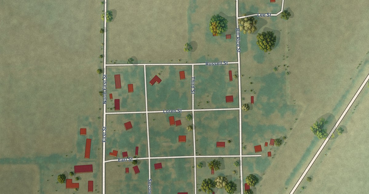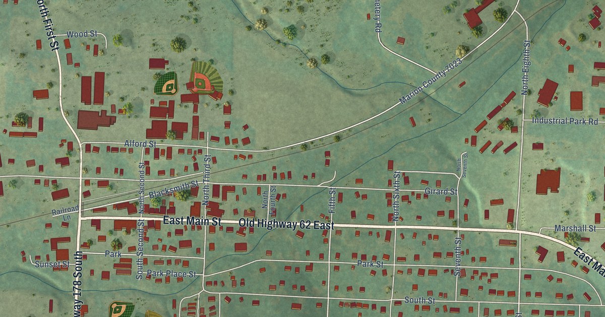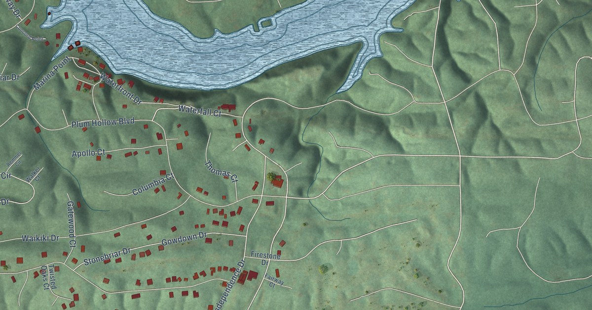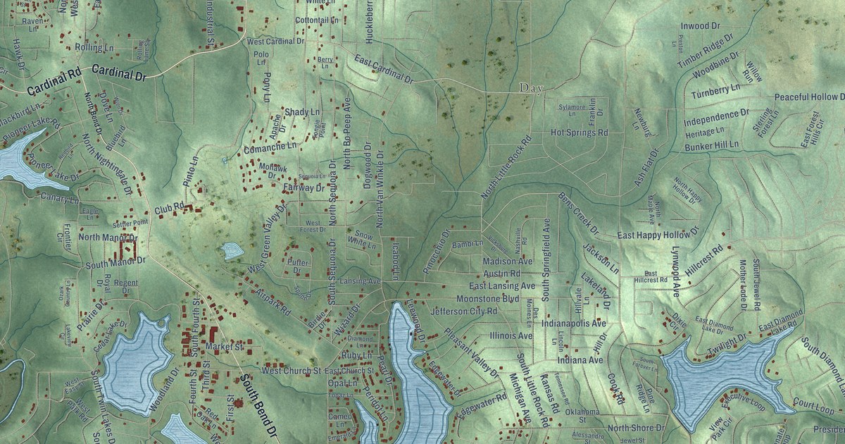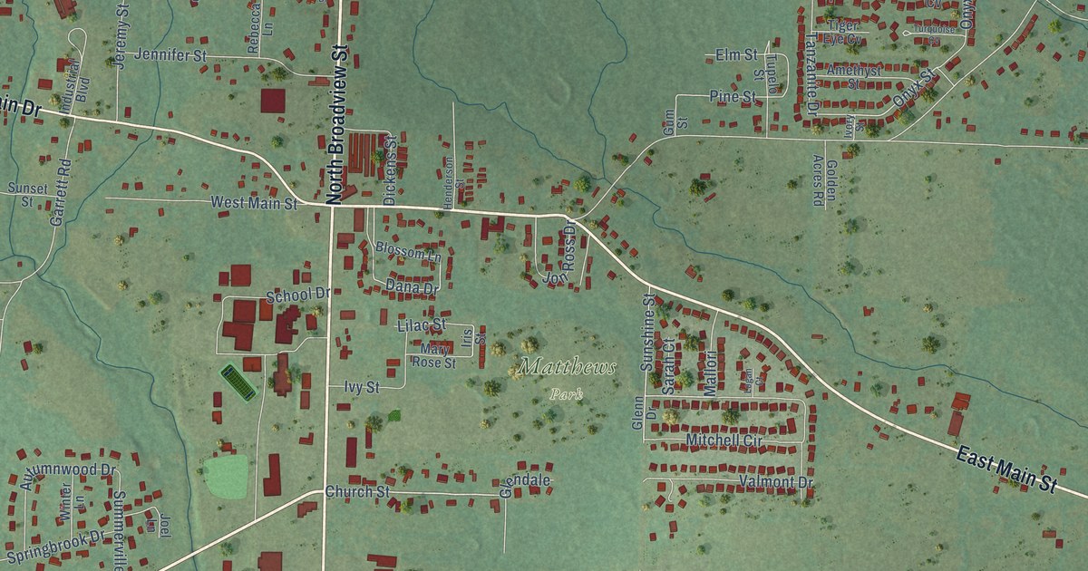
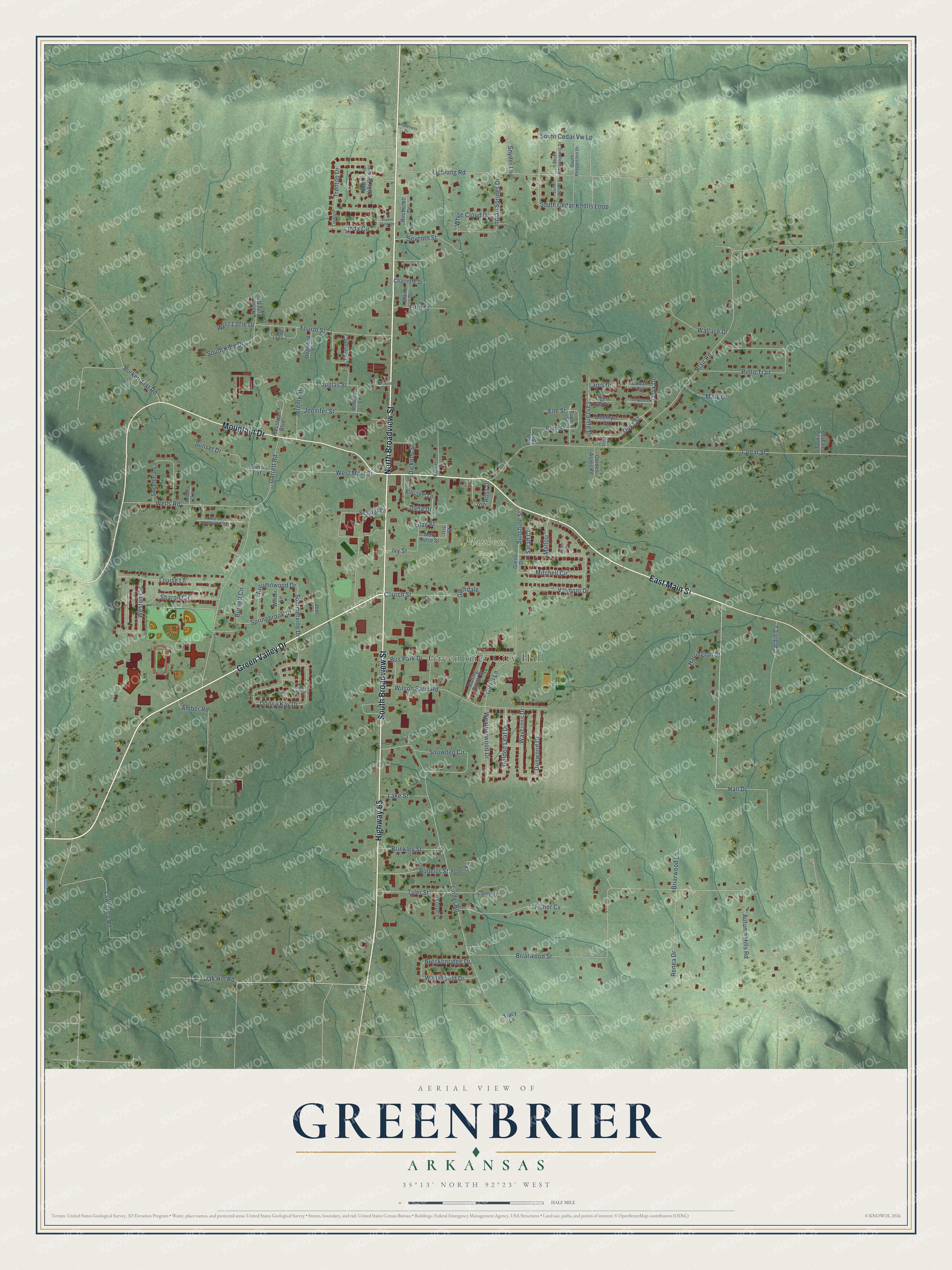
This beautifully detailed map of Greenbrier, Arkansas was created in 2026 using aerial imagery combined with modern topographical, census, street and landmark data. It's a modern aerial view of Greenbrier in Faulkner County, Arkansas, that combines modern data with a vintage aesthetic. The roads feature printed names, and if you look closely you can find your exact house accurately shown in its correct location.
Explore an aerial view of Greenbrier, Arkansas
On this map you'll find Greenbrier City Hall, Matthews Park, South Broadview Street, East Main Street, North Broadview Street, Green Valley Drive, Mountain Drive, Highway 65, Hall Drive, Church Street, Mitchell Circle, Onyx Street, and more. Each red shape is a building, so zoom in on the preview and look for yours.
Here is a piece of Greenbrier history, in the words of the record. The CALS Encyclopedia of Arkansas puts it this way: "Although the community was briefly called Mooresville, its name was later changed to Greenbrier, a common name for the wild smilax, or saw brier, that grew along Greenbrier Creek near Henderson’s general store. Upon the establishment of the community’s post office on September 15, 1857, Henderson Moore became its first postmaster."
Greenbrier is a city in Faulkner County.
Take a closer look at the Greenbrier map
Names on this map
These names are printed on this map.
Places: Greenbrier City Hall and Matthews Park.
Streets and roads: South Broadview Street, East Main Street, North Broadview Street, Green Valley Drive, Mountain Drive, Highway 65, Hall Drive, Church Street, Mitchell Circle, Onyx Street, Briarwood Street, Trenton Drive.
More street names, A to Z
Amber Road, Amethyst Street, Autumn Hills Road, Autumnwood Drive, Blaine Drive, Blair Road, Blossom Lane, Breckenridge Drive, Briarwood Lane, Brinkley Street, Bryant Creek Drive, Burkett Flat Road, Burnett Circle, Bus Park Drive, Canten Cv, Cardin Cv, Cedar Street, Charlotte Drive, Cobalt Cv, Dana Drive, Dickens Street, Dogwood Lane, Donna Kay Drive, Douglas Street, Dunwood Drive, Elm Street, Fifth Street, Fisher Cv, Fourth Street, Garrett Road, Gates Drive, Glendale, Glenn Drive, Glenn Lane, Golden Acres Road, Golden Leaf Drive, Gum Street, Harrington Street, Henderson Street, Indian Springs Drive, Industrial Boulevard, Iris Street, Ivory Street, Ivy Street, Jennifer Street, Jeremy Street, Jess Sims Drive, Joel Lane, Jon Ross Drive, Lake Street, Lapis Drive, Lawrence Road, Lieblong Road, Lilac Street, Linda Circle, Linder Road, Lindsey Loop, Logan Court, Lonzo Lane, Louise Lane, Magnolia Drive, Mallori, Mary Drive, Mary Rose Street, North Hills Drive, North King Drive, Oak Hill Road, Onyx Drive, Pine Street, Pinto Trail, Rebecca Lane, Redbird Lane, Renea Drive, Ritchscott Drive, Roberts Road, Roberts Street, Rolling Brook Drive, Sarah Court, School Drive, Seventh Street, Sharon Circle, Snowden Circle, Snyder Lane, South Cedar Knolls Loop, South Cedar Vw Lp, South King Drive, South Longfield Drive, South Peppercorn Drive, South Whippoorwill Drive, Springbrook Drive, Summerville Drive, Sunset Drive, Sunset Street, Sunshine Street, Sweetbriar Lane, Tanzanite Drive, Thomas Circle, Tiger Eye Cv, Tracy Lane, Trenton, Tupelo Street, Turning Leaf Lane, Turquoise Cv, Tyler Street, Valmont Drive, Wadesfield Drive, Wallace Drive, Waycross Drive, Weatherwood Drive, Wells Road, West Lacie Drive, West Main Street, Weston Circle, West Wellswood Drive, White Cloud Drive, Whittenway Drive, Wilson Farm Road, Winter Lane.
Created by KNOWOL in 2026. The buildings are small red shapes, the roads carry their printed names, and shaded relief shows the shape of the land. The title panel reads "AERIAL VIEW OF GREENBRIER ARKANSAS" with 35°13' NORTH 92°23' WEST.
It suits a den, a classroom or a front hall, and it makes a gift for anyone with Greenbrier roots. Open the preview and find the block you know. See sizes and frames for the Greenbrier map.