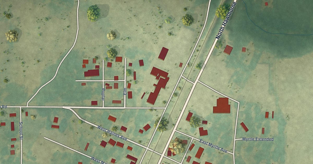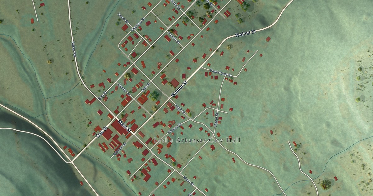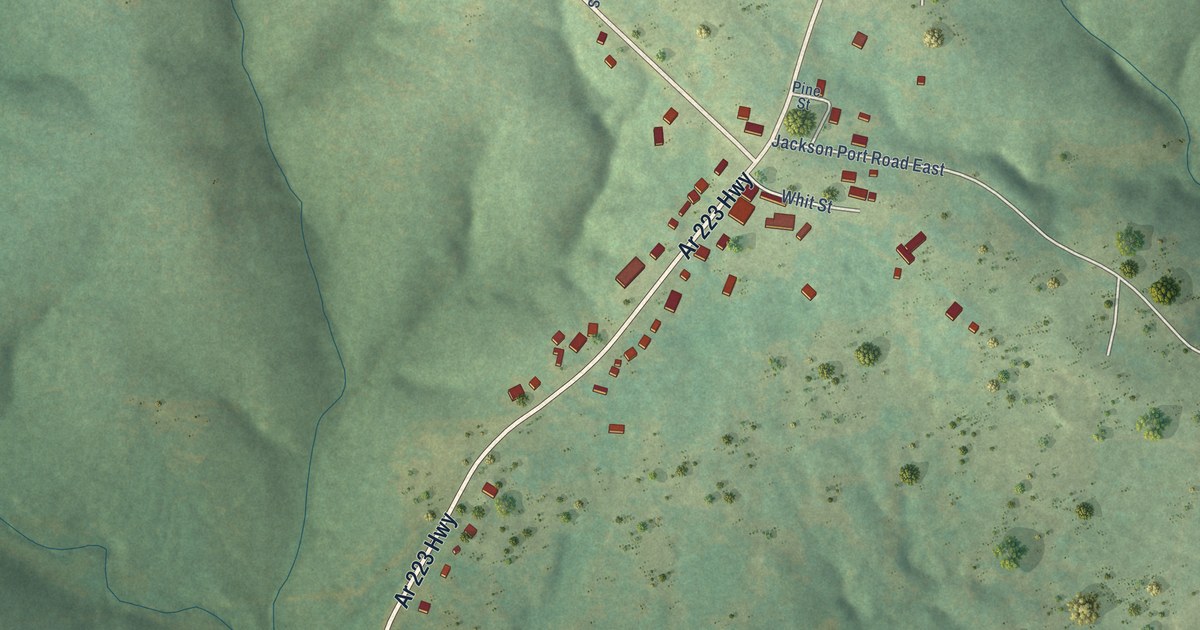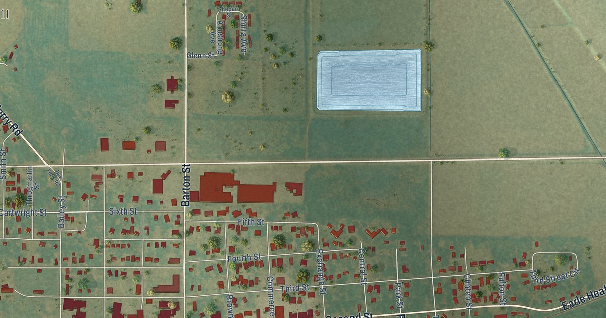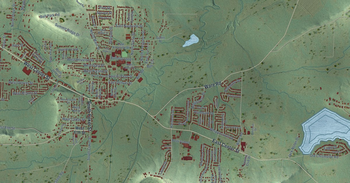
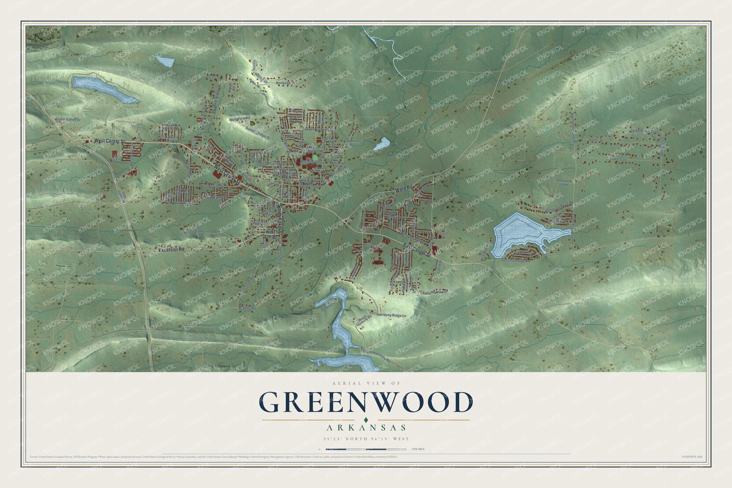
This beautifully detailed map of Greenwood, Arkansas was created in 2026 using aerial imagery combined with modern topographical, census, street and landmark data. It's a modern aerial view of Greenwood in Sebastian County, Arkansas, that combines modern data with a vintage aesthetic. The roads feature printed names, and if you look closely you can find your exact house accurately shown in its correct location.
Explore an aerial view of Greenwood, Arkansas
On this map you'll find West Center Street, South Coker Street, East Center Street, Ware Road, Excelsior Road, North Main Street, Ridgecrest Drive, Grand Oak Drive, West Atlanta Street, Plumbark Drive, Harmony Drive, West Denver Street, and more. Each red shape is a building, so zoom in on the preview and look for yours.
Here is a piece of Greenwood history, in the words of the record. The CALS Encyclopedia of Arkansas puts it this way: "In March, the commissioners met and named the new town Greenwood in honor of Judge Burton Greenwood. Greenwood was also named as the seat for Sebastian County, but in 1854, the county seat was moved to Fort Smith, causing some local bitterness."
Greenwood is a city in Sebastian County.
Take a closer look at the Greenwood map
Names on this map
These names are printed on this map.
Streets and roads: West Center Street, South Coker Street, East Center Street, Ware Road, Excelsior Road, North Main Street, Ridgecrest Drive, Grand Oak Drive, West Atlanta Street, Plumbark Drive, Harmony Drive, West Denver Street.
More street names, A to Z
Aletha Drive, Alex Street, Antler Drive, Ashebury Point Road, Azalea Drive, Bell Circle, Bell Park Road, Bell Road, Birch Street, Bradley Road, Brighton Place, Bulldog Loop, Caperton Loop, Cedar Valley Drive, Cherrybark Drive, Clinic Street, Country Club Drive, Creekside Drive, Crooked Creek Road, Dale Sadler Road, Deerwood Loop, Denver Circle, Division Street, Eagle Drive, Easley Loop, East Denver Street, East El Paso Street, Eastern Hill Drive, Eastern Hills Drive, East Gary Street, Eastgate Drive, East Hickory Street, East Joplin Street, East Knoxville Street, East Miami Street, East Nashville Street, Essex Street, Fairhaven Cv, Fawn Trail, Fern, Forest Glen Road, Forest Park Way, Forrest Park Way, Grand Brook Drive, Grand Maple Drive, Griffin Drive, Grinnel Circle, Hamilton Lane, Harmony Ridge Lane, Hilltop Drive, Honeysuckle Lane, Industrial Drive, Jack Nolan Drive, Kings Mountain Loop, Laurel Drive, Liberty Drive, Locust Drive, McCraney Drive, Meadow Bridge Drive, Mount Harmony Road, North Aster Street, North Bass Street, North Camelia, North Coker Street, North Daisy Street, North Date Street, North Deerwood Drive, North Evergreen Street, North Fern Street, North Jones Street, North Ulmer Street, Norwood Drive, Oak Park Way, Old Chismville Road, Old Greenwood Road, Old Hackett Road, Osage Drive, Osprey Drive, Palomino Drive, Pecan Lane, Pine Street, Plumbark Court, Primrose Circle, Ridge Road, Rockside Drive, Solesbee Road, South Daggett Street, South Deerwood Drive, South Fowler Street, South Oak Street, Spike Ridge Trail, Spruce Street, Stewart Court, Sugarberry Drive, Summit Ridge Drive, Thistle Circle, Timberland Drive, Webster Street, Wells School, West Ash Street, West Cedar Street, West Elm Street, West El Paso Street, West Fresno Street, West Gary Street, West Houston Street, West Lincoln Street, West Nashville Street, Westwood Avenue, Whippoorwill Drive, Whitetail Lane, Woodland Trail.
Created by KNOWOL in 2026. The buildings are small red shapes, the roads carry their printed names, and shaded relief shows the shape of the land. The title panel reads "AERIAL VIEW OF GREENWOOD ARKANSAS" with 35°13' NORTH 94°15' WEST.
It suits a den, a classroom or a front hall, and it makes a gift for anyone with Greenwood roots. Open the preview and find the block you know. See sizes and frames for the Greenwood map.