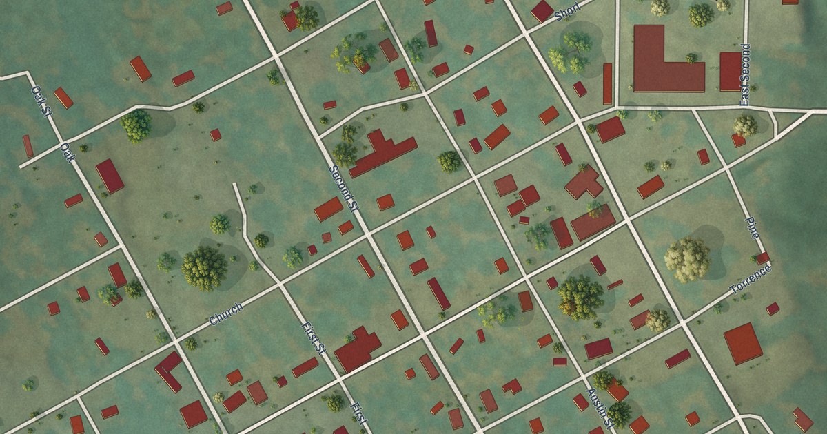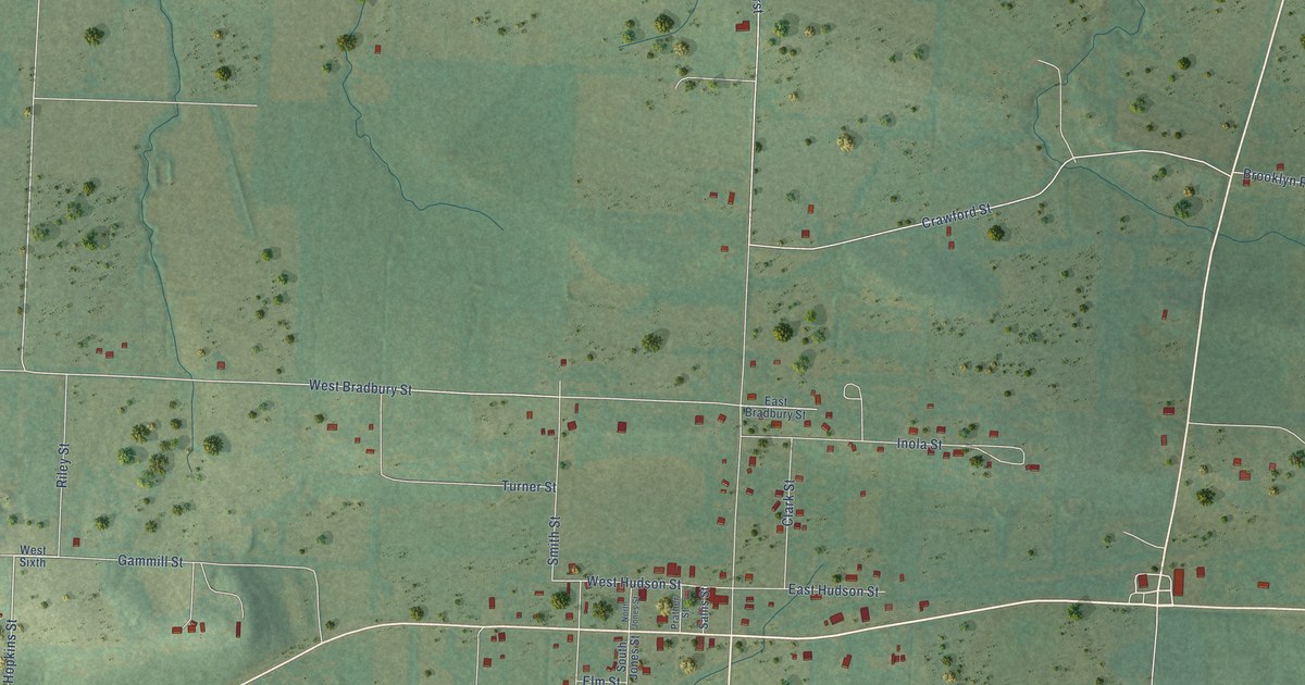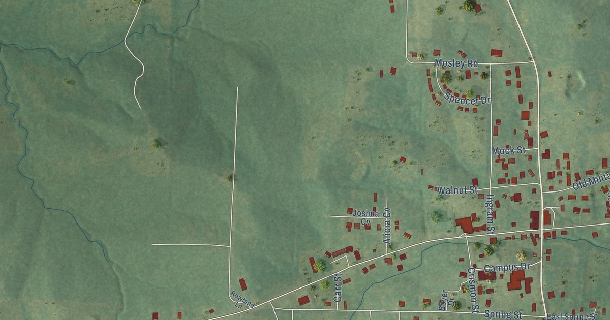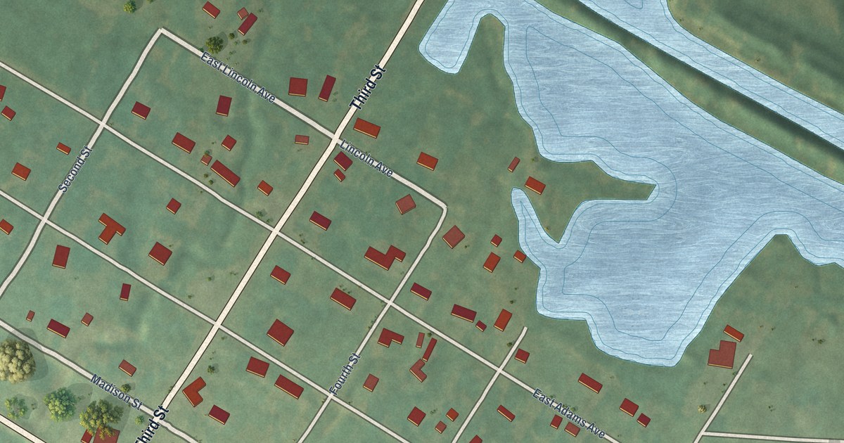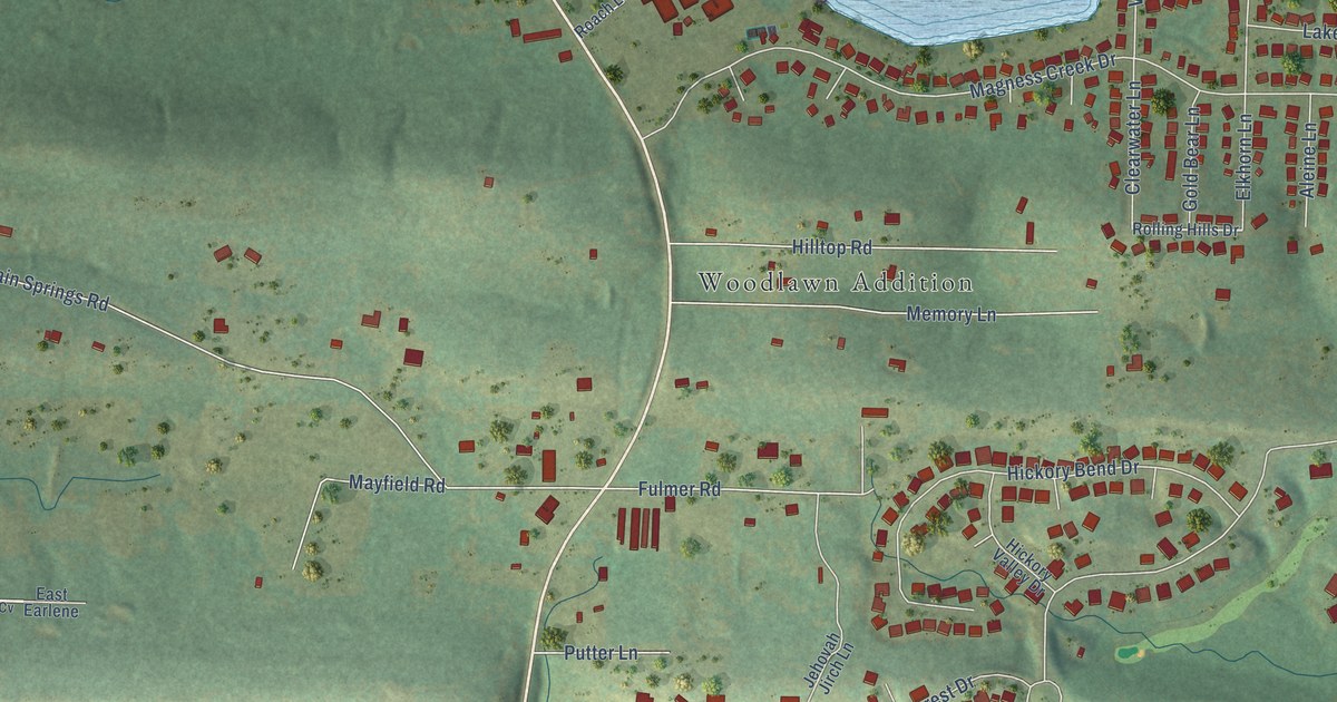
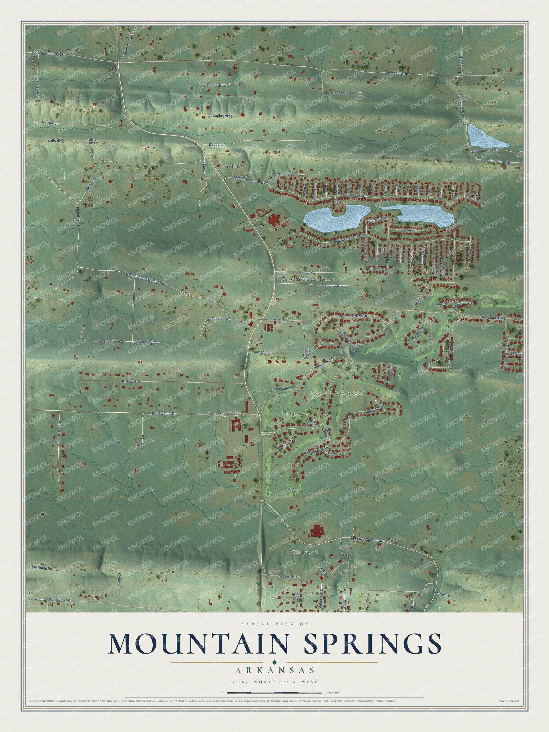
This beautifully detailed map of Mountain Springs, Arkansas was created in 2026 using aerial imagery combined with modern topographical, census, street and landmark data. It’s a one-of-a-kind view of Mountain Springs that combines accurate data with a vintage aesthetic. The map shows every building in its true location, many of the roads carry their names, and the shaded topographic relief shows the shape of the land.
Explore an aerial view of Mountain Springs, Arkansas
On the map you’ll find Woodlawn Addition, Wildwood, Ridgecrest, De Boer, Spring Valley, and Greystone Country Club, along with Lewisburg Road, Greystone Boulevard, West Mountain Springs Road, Mountain Springs Road, Spring Valley Road, Ballard Road, and more. If you look closely you can even find your house accurately drawn in its correct location. Zoom in on the preview to look for yours.
Take a closer look at the Mountain Springs map
Names on this map
These names are printed on this map.
Places: Woodlawn Addition, Wildwood, Ridgecrest, De Boer, Spring Valley and Greystone Country Club.
Streets and roads: Lewisburg Road, Greystone Boulevard, West Mountain Springs Road, Mountain Springs Road, Spring Valley Road, Ballard Road, Lakeland Drive, Magness Creek Drive, Kirkland Drive, Pride Gap Road, Cobblestone Drive, Gleneagle Drive.
More street names, A to Z
Aleine Lane, Algonquin Court, Algonquin Drive, Apple Cv, Ashlee Drive, Auston Court, Brandon Court, Brett Court, Brittany Lane, Cains Cv, Cara Drive, Cassie Court, Castle Rock Court, Cemetery Road, Chetay Drive, Clearwater Lane, Cooper Cv, Cooper Lane, Corbin Circle, Crested Butte Road, Crestview Drive, Cypress Creek Drive, Cypress Knee Drive, Danya Drive, Deboer Lane, Dorman Drive, Eagles Nest, Eagles Nest Cv, Eagle View Road, East Earlene, East Earlene Cv, Elizabeth Lane, Elkhorn Lane, Emily Cv, Emma Drive, Falls Boulevard, Fulmer Road, Glen Eagle Drive, Gold Bear Lane, Hickory Bend Drive, Hickory Valley Drive, High Plains Drive, Hilltop Road, Jehovah Jirch Lane, Jonathon Cv, Lake Access Road, Lakeside Drive, Lakeview Lane, Lauren Cv, Lila Loop, Logan Lane, Longbotham Road, Marshall Drive, Mayfield Road, McGill Lane, Memory Lane, Misty Falls Cv, North Heights, Old Mountain Springs Road, Overlook Cv, Payton Drive, Pecan Lane, Prestwick Court, Pride Gap Cv, Pride Ridge Road, Putter Lane, Rainbow Lk Road, Ridgecrest Drive, Ridgecrest Square, Roach Lane, Rolling Hills Drive, Sagebrush Lane, Sarah Beth Drive, Shurley Lane, Spillway Cv, Strawberry Drive, Thompson Road, Turnberry Drive, Turnberry Lane, Twin Lake Drive, Tyler Cv, Valhalla Drive, Valley Creek Drive, Village Creek Drive, Wellington Place, West Earlene Cv, West Lewisburg Road, Wild Plum Drive, Wildwood Cv, Wildwood Drive, Witcher Drive.
See it on a wall
The Mountain Springs map as a framed print. Swipe for more.


This beautifully detailed map of Mountain Springs makes an attractive addition to your office, library, or den, and it can even be used to teach children the geography and history of the area. It also makes a great gift for someone who left Mountain Springs and still calls it home. When you’re done exploring, click here to get your copy of the Mountain Springs map.