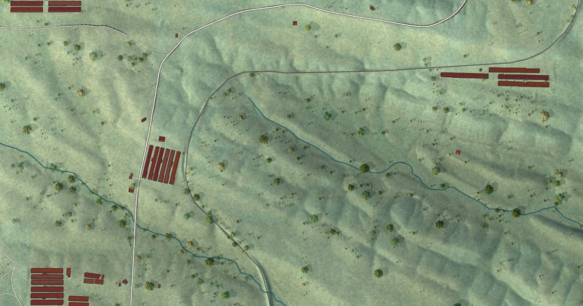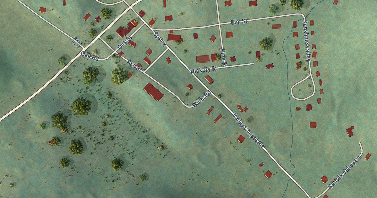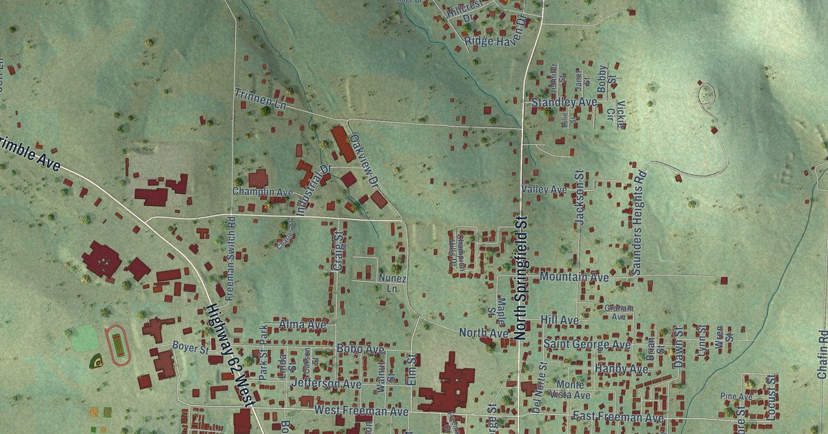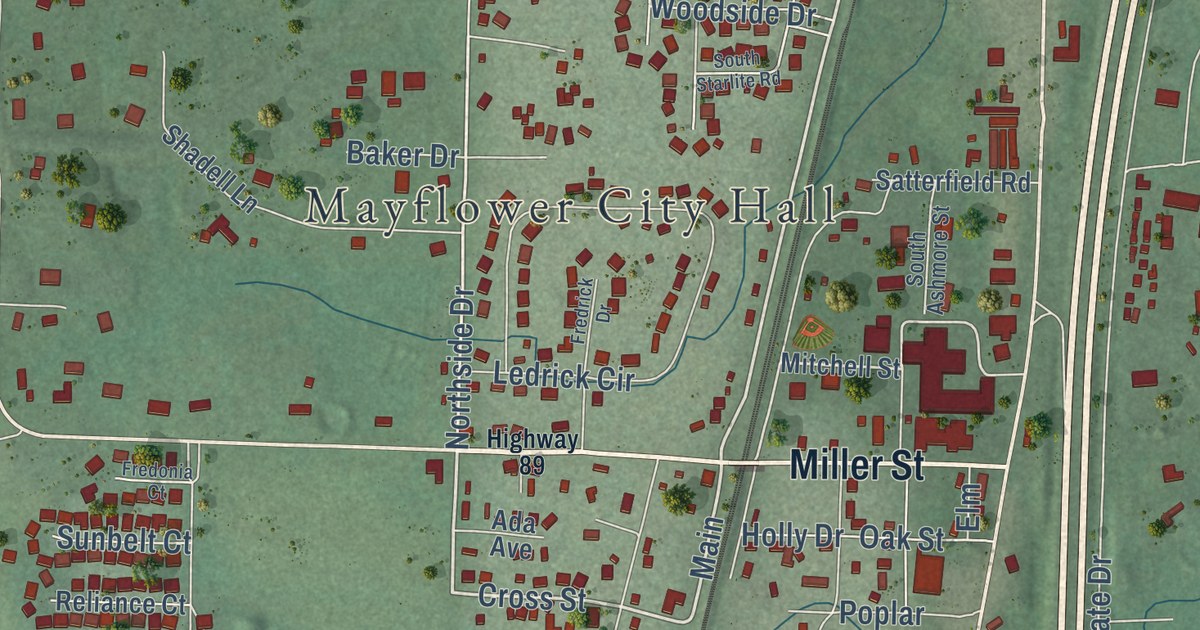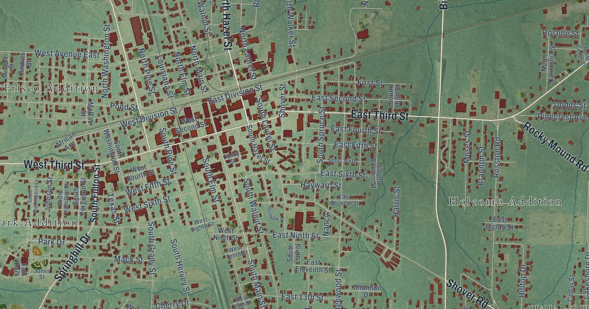
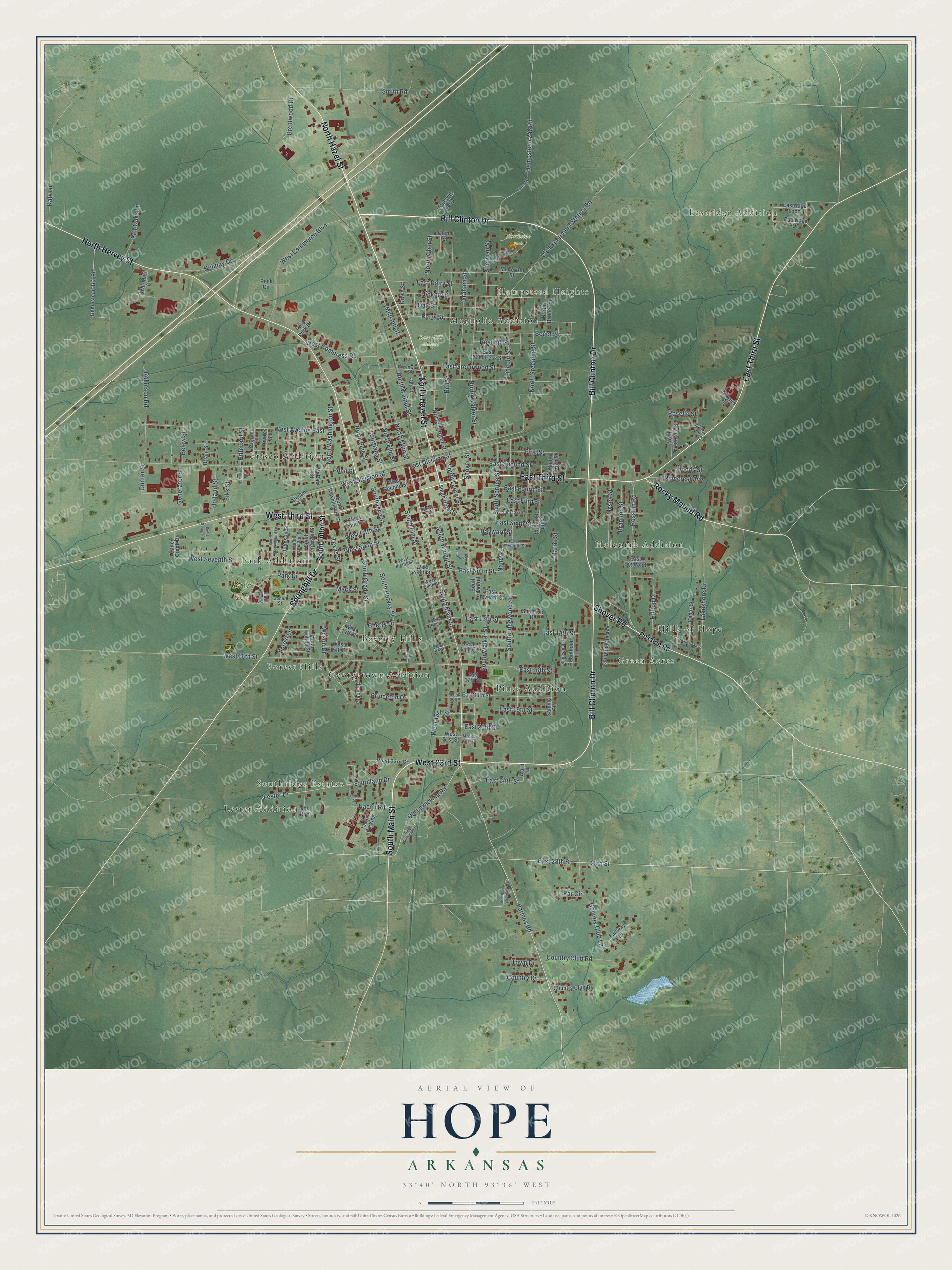
This beautifully detailed map of Hope, Arkansas was created in 2026 using aerial imagery combined with modern topographical, census, street and landmark data. It’s a one-of-a-kind view of Hope that combines accurate data with a vintage aesthetic. The map shows every building in its true location, many of the roads carry their names, and the shaded topographic relief shows the shape of the land.
Explore an aerial view of Hope, Arkansas
On the map you’ll find Eastridge Addition, Lester Addition, Hempstead Heights, Southridge Estates, Fair Park, Northside Park, Rose Hill Cemetery, Beverly Hills, Forest Hills, Frisco Addition, Georgetown Addition, Green Acres, and more. If you look closely you can even find your house accurately drawn in its correct location. Zoom in on the preview to look for yours.
Did you know this piece of Hope, Arkansas history?
From the CALS Encyclopedia of Arkansas: "James Loughborough, the railroad company’s land commissioner, had named the workmen’s camp in honor of his daughter, Hope. The railway company drew the plat of the town and sold the first lots on August 28, 1873."
Hope is a city in Hempstead County.
Take a closer look at the Hope map
Street and place names on the Hope, Arkansas map
These names are printed on the map of Hope, Arkansas.
Places: Eastridge Addition, Lester Addition, Hempstead Heights, Southridge Estates, Fair Park, Northside Park, Rose Hill Cemetery, Beverly Hills, Forest Hills, Frisco Addition, Georgetown Addition, Green Acres, Hills of Hope, Holcomb Addition, Magnolia Addition, Park Addition and Pines Addition.
Streets and roads: Bill Clinton Drive, West 23rd Street, South Main Street, East Third Street, North Hervey Street, North Hazel Street, West Third Street, Rocky Mound Road, Springhill Drive, Shover Road, Patmos Road, Southland Drive.
More street names, A to Z
28th Street, African Avenue, Andres Street, Ash Street, Beech Street, Belew Street, Bell Street, Berry Street, Brannon Street, Brentwood Drive, Briant Street, Candy Street, Caney Creek Drive, Cedar Street, Cherry Drive, Confederate Avenue, Country Club Drive, Country Club Lane, Country Club Road, Country Drive, Dodds Street, East 13th Street, East 14th Street, East 15th Street, East 16th Street, East 17th Street, East 18th Street, East 19th Street, East 20th Street, East 24th Street, East 28th Street, East Compress Street, East Dairy Street, East Division Street, East Eighth Street, East Eleventh Street, East Fifth Street, East Fourth Street, East Greenwood Street, East Ninth Street, Eastridge Drive, Eastridge Loop, East Second Street, East Seventh Street, East Sixth Street, Elks Street, Fair Oaks Lane, Fairway Drive, First Street, Forest Lane, Fox Run, Generator Street, Glenn Street, Grady Street, Graham Street, Greenwood Street, Grove Street, Gunter Street, Hammond Street, Harris Street, Hayward Street, Hempstead 118 Road East, Hempstead 183 Road, Hempstead 248 Road, Hempstead Street, Hickory Street, Hilltop Drive, Holiday Drive, Holland Street, Hopewell Loop, Johnson Street, Jones Street, Katy Lane, Lakeshore Drive, Lester Drive, Lincoln, Lincoln Street, Long Street, Louisiana Street, Mack Street, Margaret Street, McFerron Street, McRae Street, Medical Park Drive, Meyers Road, Midland Street, Moses Street, Nancy, North Allen Street, North Bonner Street, North California Street, North Cedar Street, North Elm Street, North Greening Street, North Laurel Street, North Main Street, North Pine Street, North Walker Street, North Walnut Street, North Washington Street, Oak Street, Old Experiment Station Road, Old Lewisville Road, Par Circle, Park Drive, Pecan Street, Peck Circle, Pinecrest Avenue, Pine Park Drive, Pond Street, Princeton Drive, Pritchard Street, Rainbow Street, Robinhood Lane, Robinson Road, Rosehill Street, Roselle Street, Rosston Road, Saint George Street, Sammy Circle, San Fernando Road, Shannon Drive, Sherman Street, Sherwood Drive, Short Sixth, Shover Street, Smith Road, South Bonner Street, South Circle, South Edgewood Street, South Elm Street, South Ferguson Street, South Fulton Street, South Grady Street, South Hamilton Street, South Hazel Street, South Hervey Street, South High Street, South Laurel, South Laurel Street, South Mockingbird Lane, South Pine Street, South Spruce Street, South Walker Street, South Walnut Street, South Washington Street, Texas Street, Town Drive, Uacch Parking, Uacch Road, Wal-Mart Drive, Ward Lane, West 13th Street, West 14th Street, West 15th, West 15th Street, West 16th Street, West 18th, West 19th Street, West 21st Street, West Avenue East, West Commerce Boulevard, West Compress Road, West Division Street, West Eighth Street, West Fifth Street, West Fourth Street, West Ninth Street, West Second Street, West Seventh Street, West Sixth Street, West Tenth Street, Wilson Drive.
See the Hope, Arkansas map on a wall
The Hope map as an 18 x 24 inch print in a black frame.

This beautifully detailed map of Hope makes an attractive addition to your office, library, or den, and it can even be used to teach children the geography and history of the area. It also makes a great gift for someone who left Hope and still calls it home. When you’re done exploring, click here to get your copy of the Hope map.