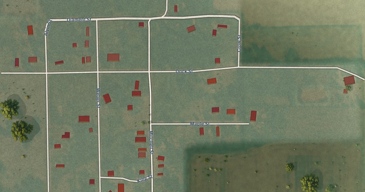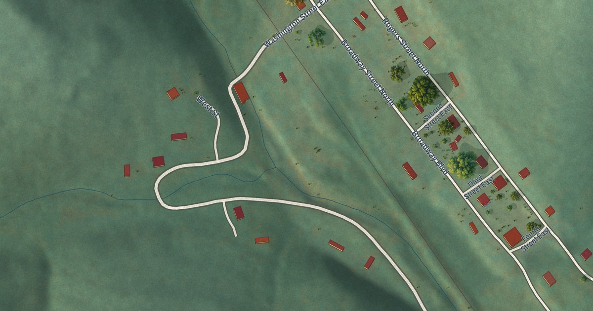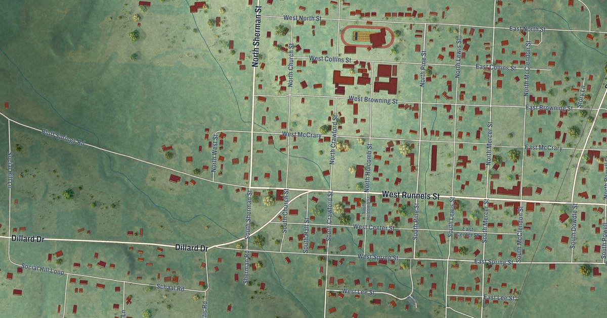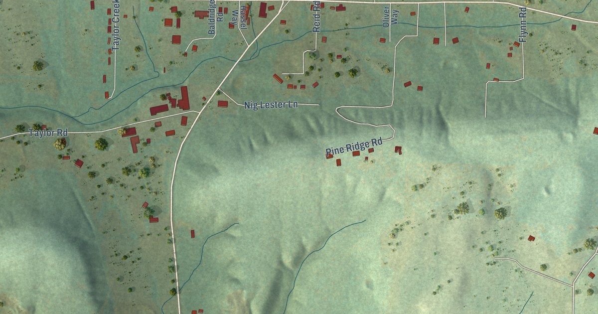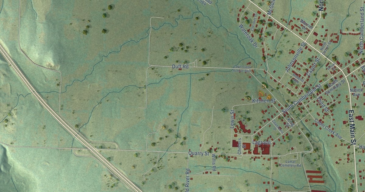
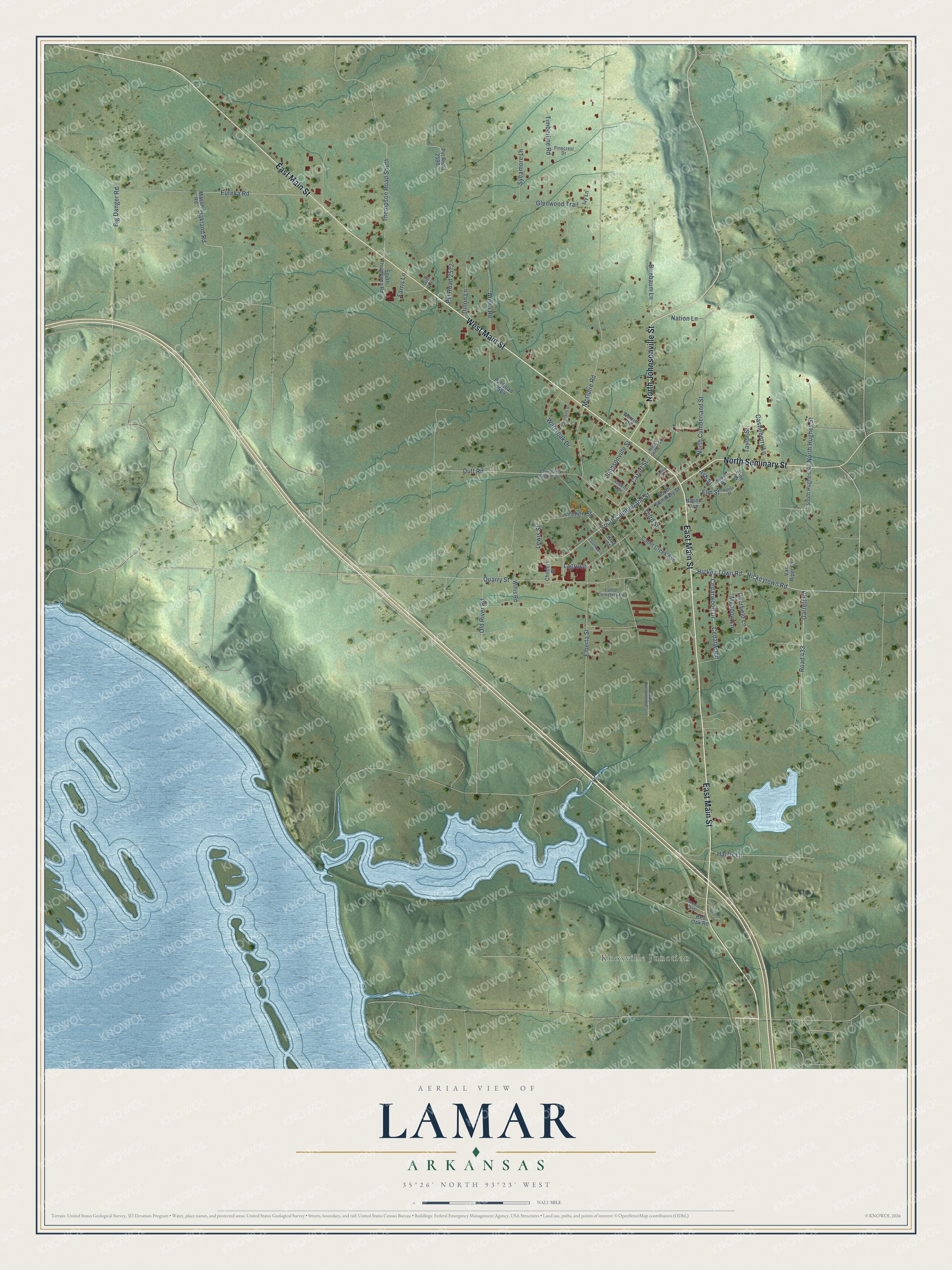
This beautifully detailed map of Lamar, Arkansas was created in 2026 using aerial imagery combined with modern topographical, census, street and landmark data. It's a modern aerial view of Lamar in Johnson County, Arkansas, that combines modern data with a vintage aesthetic. The roads feature printed names, and if you look closely you can find your exact house accurately shown in its correct location.
Explore an aerial view of Lamar, Arkansas
On this map you'll find Knoxville Junction, East Main Street, West Main Street, North Seminary Street, North Johnsonville Street, Elberta Street, South Cumberland Street, Hickey Town Road, Hickeytown Road, Garrett Road, Road 433, North Cumberland Street, and more. Each red shape is a building, so zoom in on the preview and look for yours.
Every town has a first chapter, and Lamar is no exception. The CALS Encyclopedia of Arkansas puts it this way: "In 1887, the city became incorporated and chose the name Lamar to honor Lucius Quintus Cincinnatus Lamar, secretary of the interior in President Grover Cleveland’s cabinet. The name of the post office was changed, but the railroad continued to designate the depot as Cabin Creek."
Lamar is a city in Johnson County.
Take a closer look at the Lamar map
Names on this map
These names are printed on this map.
Places: Knoxville Junction.
Streets and roads: East Main Street, West Main Street, North Seminary Street, North Johnsonville Street, Elberta Street, South Cumberland Street, Hickey Town Road, Hickeytown Road, Garrett Road, Road 433, North Cumberland Street, Lagrone.
More street names, A to Z
Arena Road, Ash Street, Big Danger Road, Birnbaum Lane, Cabin-Creek Avenue-Spur, Cabin Creek Avenue, Castleberry Lane, Cazort Street, Cedarwood, Cedarwood Drive, Chamberlin Drive, Chandi Lane, Cherokee Drive, Childers Street, Deerfield Lane, Dillon Lane, Duff Road, Elm Street, Eureka Road, Farris Lane, Gill Lane, Glenwood Trail, Harris Lane, Ivy Lane, Johnsonville Street, King Street, Kitchen Street, Lamar Cemetery Road, Lewis Street, Maple Street, Mason Road, McGuire Road, Meadow Lane, Nation Avenue, Nation Lane, Nation Street, North Cazort Street, North Hughes Street, Oakland Road, Old River Road, Pinecrest Drive, Pine Street, Pvt Road 2540, Pvt Road 2564, Pvt Road 2572, Pvt Road 2590, Quarry Street, Red Oak Road, Roberts Avenue, School Street, Sewer Treatment Plant, South Hughes Street, South Seminary Street, South Thompson Road, Sycamore Lane, Taylor Street, Third Street, Thompson Road South, Timberline Road, Van Riper Drive, Warrior Drive, Wateroak Drive, Willis Road.
Created by KNOWOL in 2026. The buildings are small red shapes, the roads carry their printed names, and shaded relief shows the shape of the land. The title panel reads "AERIAL VIEW OF LAMAR ARKANSAS" with 35°26' NORTH 93°23' WEST.
Hang it in the hallway, the office or the cabin, or give it to someone who left Lamar and still calls it home. Open the preview and look for a street you know. See sizes and frames for the Lamar map.