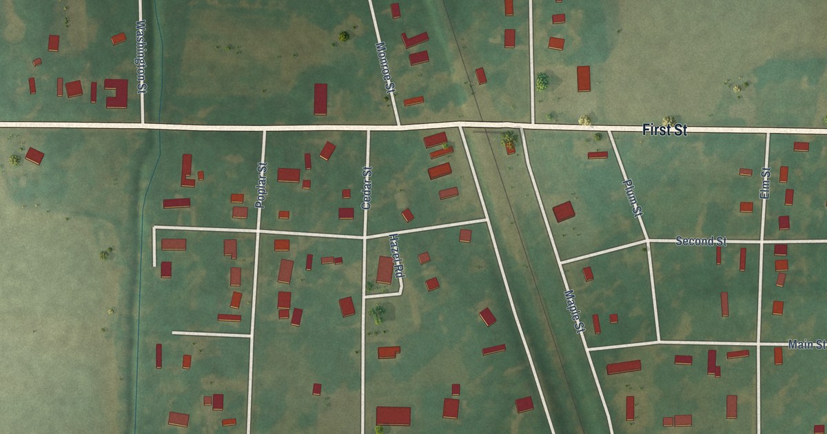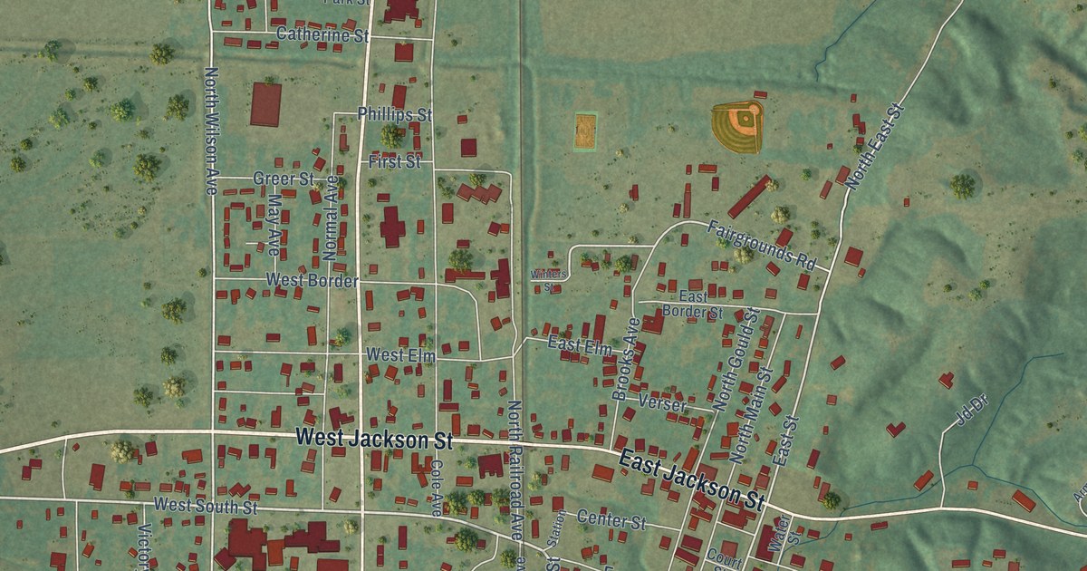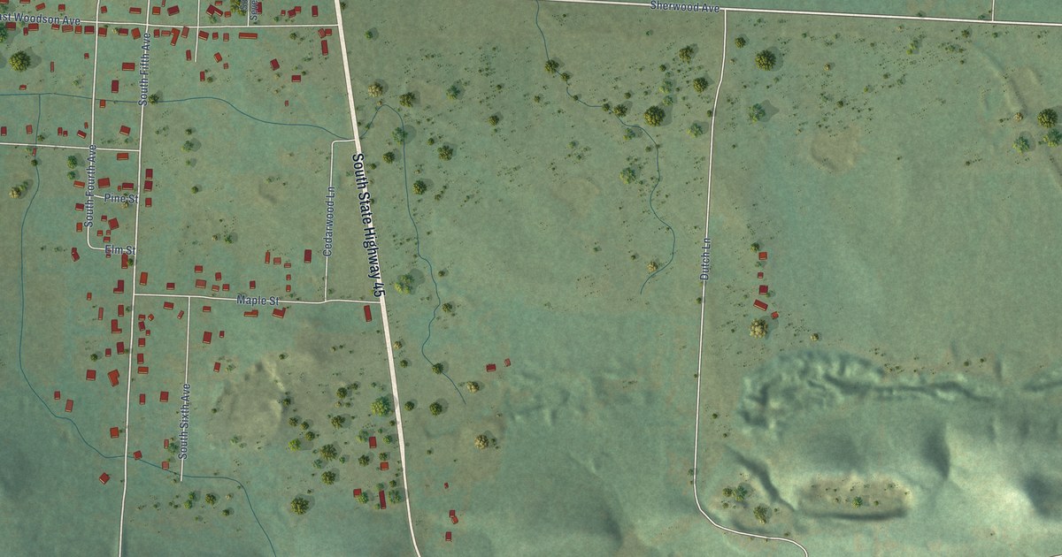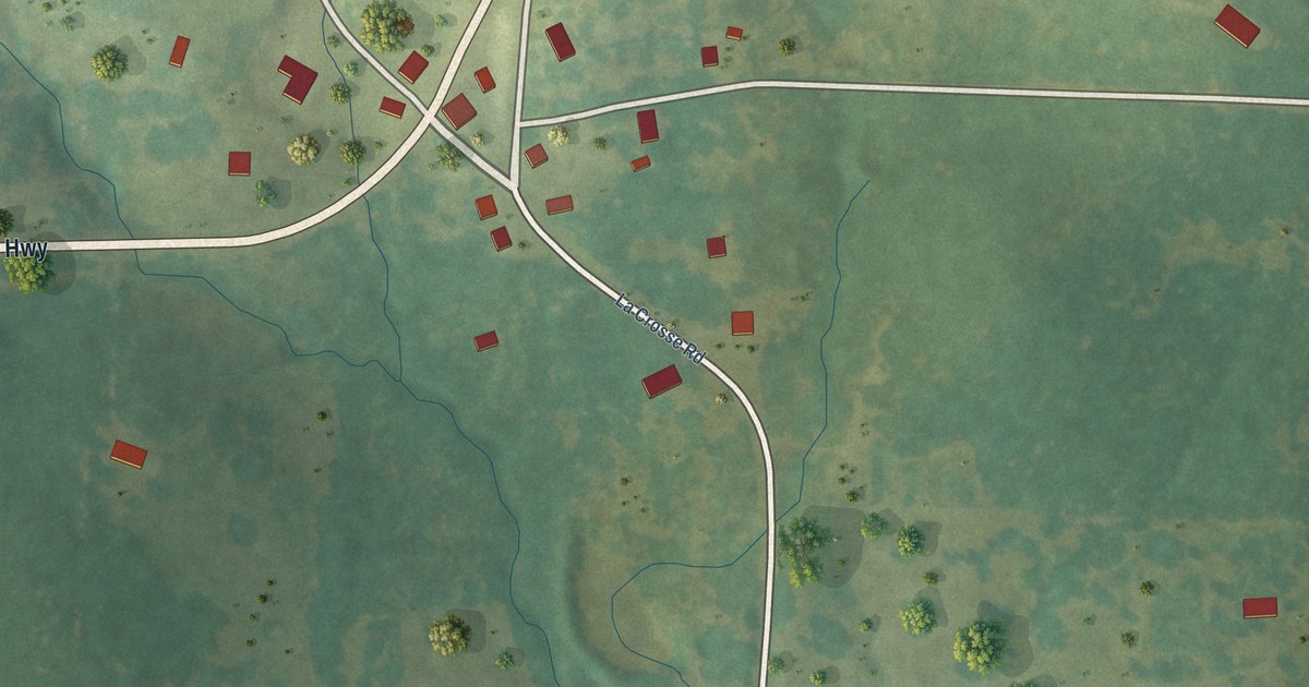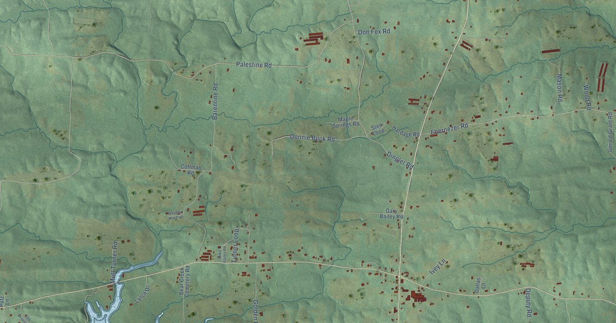
This beautifully detailed map of Kirby, Arkansas was created in 2026 using aerial imagery combined with modern topographical, census, street and landmark data. It's a modern aerial view of Kirby in Pike County, Arkansas, that combines modern data with a vintage aesthetic. The roads feature printed names, and if you look closely you can find your exact house accurately shown in its correct location.
Explore an aerial view of Kirby, Arkansas
On this map you'll find Creek 292, West Oldam Road, Road 12000, Palestine Road, Tolleson Road, Kirby Landing Road, Mitchell Road, Ebenezer Road, Ebernezer Road, Dingler Road, Bear Creek Road, Barentine Road, and more. Each red shape is a building, so zoom in on the preview and look for yours.
Here is a piece of Kirby history. Kirby was first known as Cross Roads, for the spot where two wagon trails crossed. It later took the name of Joseph Lytal Kirby, who lived in Red Land, several miles away. The Kirby post office opened on April 25, 1879, with Sidney D. Sutton as its first postmaster. By 1905 Kirby had seven stores, four churches, a cotton gin, a grist mill, a sawmill, a hotel and four doctors. That's from the Encyclopedia of Arkansas.
Kirby is a community in Pike County. The Census Bureau counted 721 people here in 2020.
Take a closer look at the Kirby map

Names on this map
These names are printed on this map.
Streets and roads: Creek 292, West Oldam Road, Road 12000, Palestine Road, Tolleson Road, Kirby Landing Road, Mitchell Road, Ebenezer Road, Ebernezer Road, Dingler Road, Bear Creek Road, Barentine Road.
More street names, A to Z
11910 Road, 12915 Road, Anderson Loop, Baxter Road, Bear Creek Cemetery Road, Coffman Road, Dallas Lane, Deputy Road, Don Fox Road, Donnie Buck Road, Ebb Draper Lane, Gary Bailey Road, Gerald Grant Road, Golden Lane, Greeson Trce, Hardage Road, Hayden Ward Lane, Ivey Lane, Jim Cook Road, John Hale Road, Lynch Drive, Maple Springs Road, Mason Road, Mike Bailey Road, Mutt Turner Road, Old Tram Road, Ponder Creek Drive, Putz Lane, Seif Road, Self Road, Stell Loop, Tar 740 Road, Tar 750 Road, Tar 820 Road, Tar 11700 Road, Tar 11820 Road, Turner Loop, Vickie Lane, Wood Road.
See it on a wall
The Kirby map as a framed print. Swipe for more.


Created by KNOWOL in 2026. The buildings are small red shapes, the roads carry their printed names, and shaded relief shows the shape of the land. The title panel reads "AERIAL VIEW OF KIRBY, ARKANSAS" with 34°15' NORTH 93°39' WEST.
It suits a den, a classroom or a front hall, and it makes a gift for anyone with Kirby roots. Open the preview and find the block you know. See sizes and frames for the Kirby map.