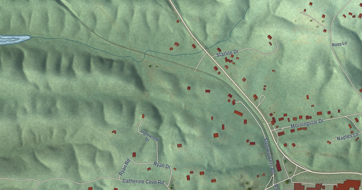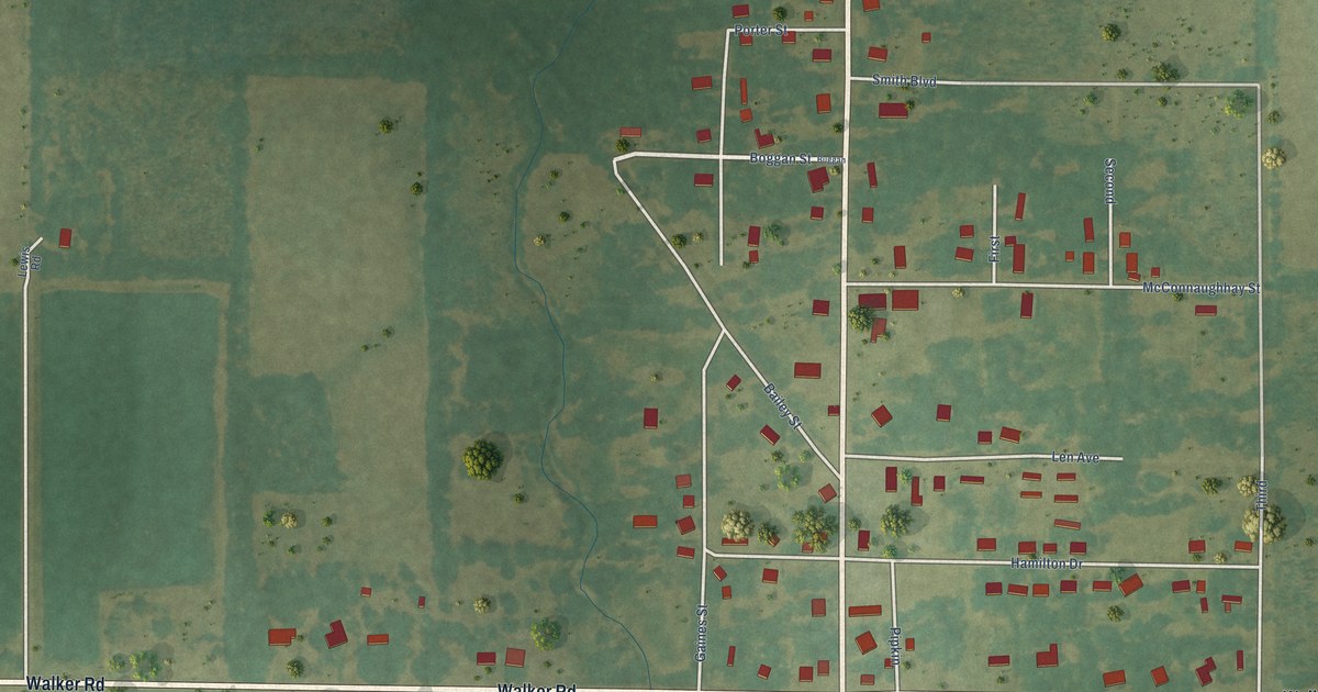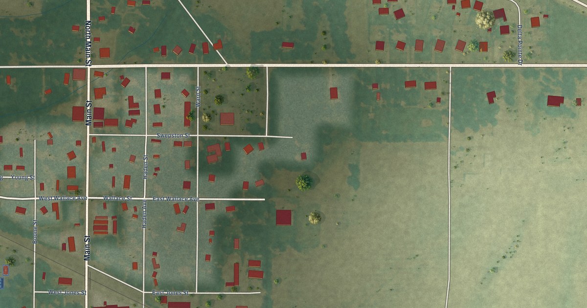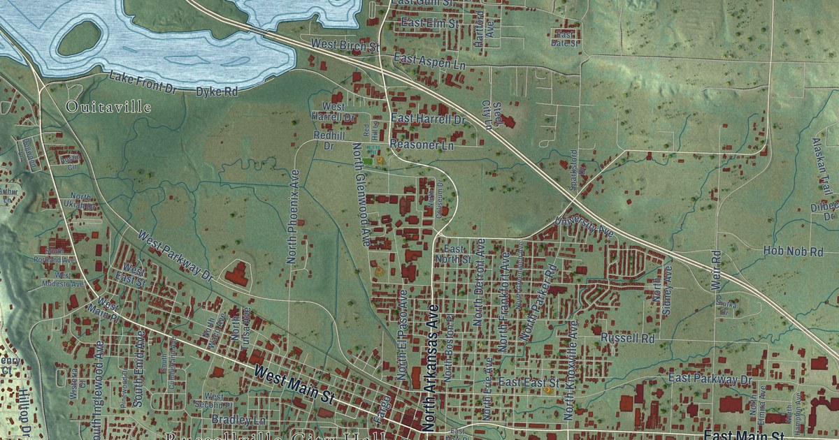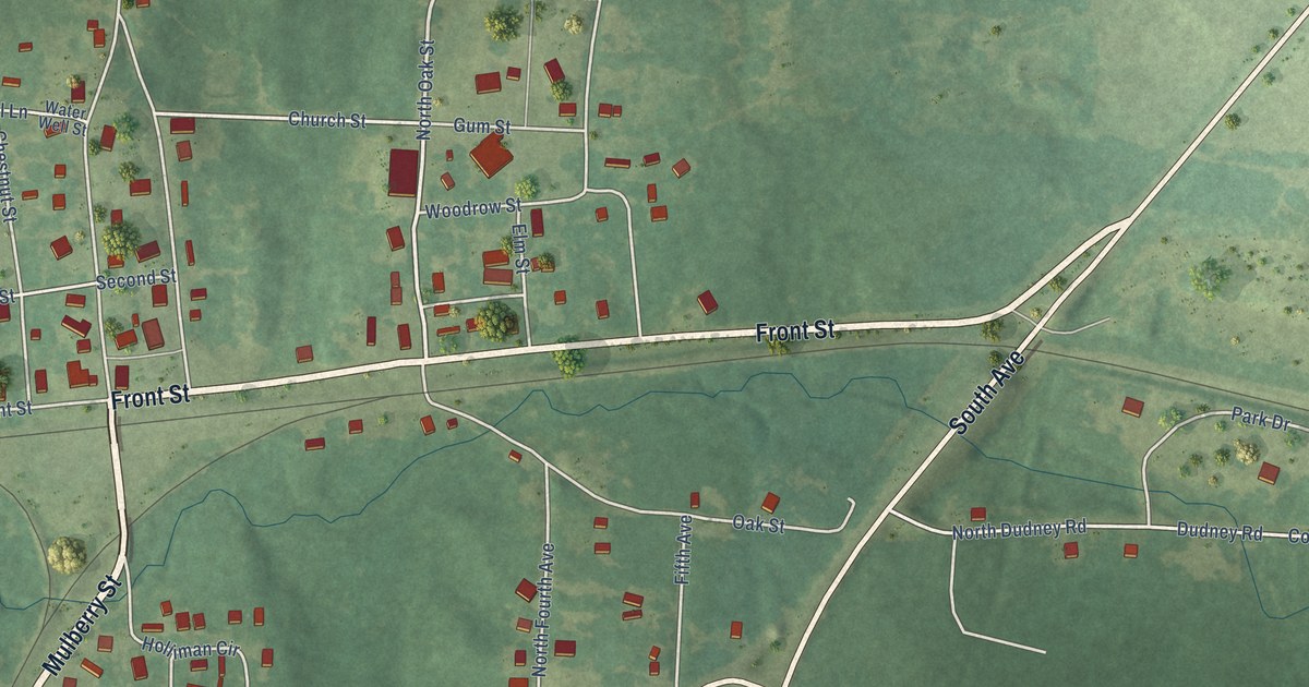
This beautifully detailed map of McNeil, Arkansas was created in 2026 using aerial imagery combined with modern topographical, census, street and landmark data. It’s a one-of-a-kind view of McNeil that combines accurate data with a vintage aesthetic. The map shows every building in its true location, many of the roads carry their names, and the shaded topographic relief shows the shape of the land.
Explore an aerial view of McNeil, Arkansas
On the map you’ll find Mulberry Street, Front Street, South Avenue, East Broadway Street, Broadway Street, Oak Street, North Oak Street, Church Street, Mc Addo Street, Fifth Street, Fifth Avenue, Dudney Road, and more. If you look closely you can even find your house accurately drawn in its correct location. Zoom in on the preview to look for yours.
Did you know this piece of McNeil, Arkansas history?
From the CALS Encyclopedia of Arkansas: "The depot erected was given the name McNeil (with slightly different spelling) in memory of William McNeill, and the same name was given to the second-class city that was incorporated on February 12, 1884. By March 1886, the city was home to eight businesses, and soon a lumber mill and two hotels were added."
McNeil is a city in Columbia County.
Take a closer look at the McNeil map
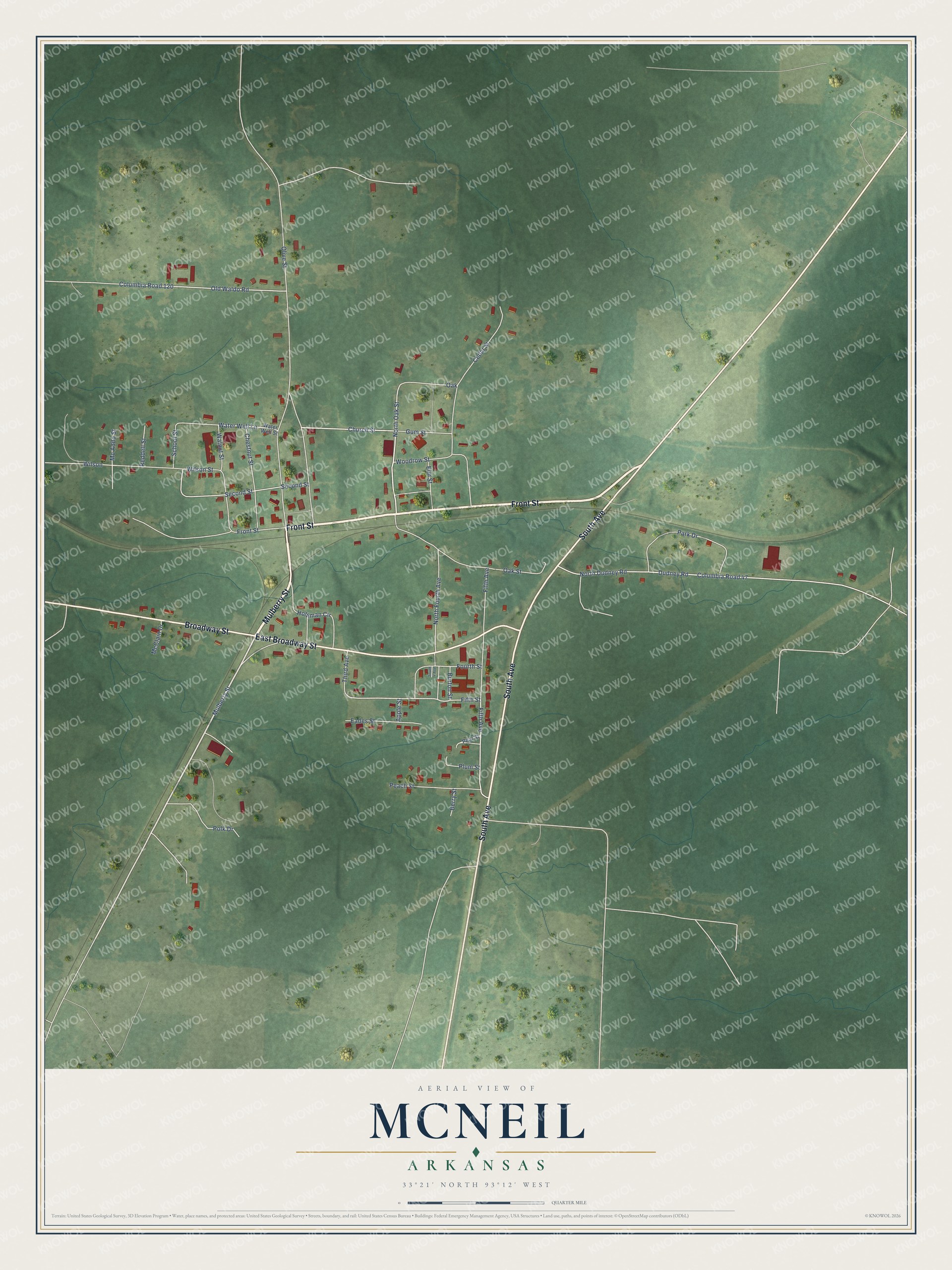
Street names on the McNeil, Arkansas map
These names are printed on the map of McNeil, Arkansas.
Streets and roads: Mulberry Street, Front Street, South Avenue, East Broadway Street, Broadway Street, Oak Street, North Oak Street, Church Street, Mc Addo Street, Fifth Street, Fifth Avenue, Dudney Road.
More street names, A to Z
Apple Street, Berry Street, Burton Street, Cedar Street, Chestnut Street, Columbia Road 47, Columbia Road 120, Eades Street, Elm Street, Fourth Street, Gum Street, Holliman Circle, McClain Drive, North Dudney Road, North Fourth Avenue, Oak, Old Waldo Road, Olive Street, Park Drive, Peach Street, Pear Street, Plum Street, Polk Drive, Reddell Street, School Street, Second Street, South 4 Avenue, Third Avenue, Walnut Street, Water Well Lane, Water Well Street, Wilson, Wilson Street, Woodrow Street.
See the McNeil, Arkansas map on a wall
The McNeil map as an 18 x 24 inch print in a black frame.

This beautifully detailed map of McNeil makes an attractive addition to your office, library, or den, and it can even be used to teach children the geography and history of the area. It also makes a great gift for someone who left McNeil and still calls it home. When you’re done exploring, click here to get your copy of the McNeil map.