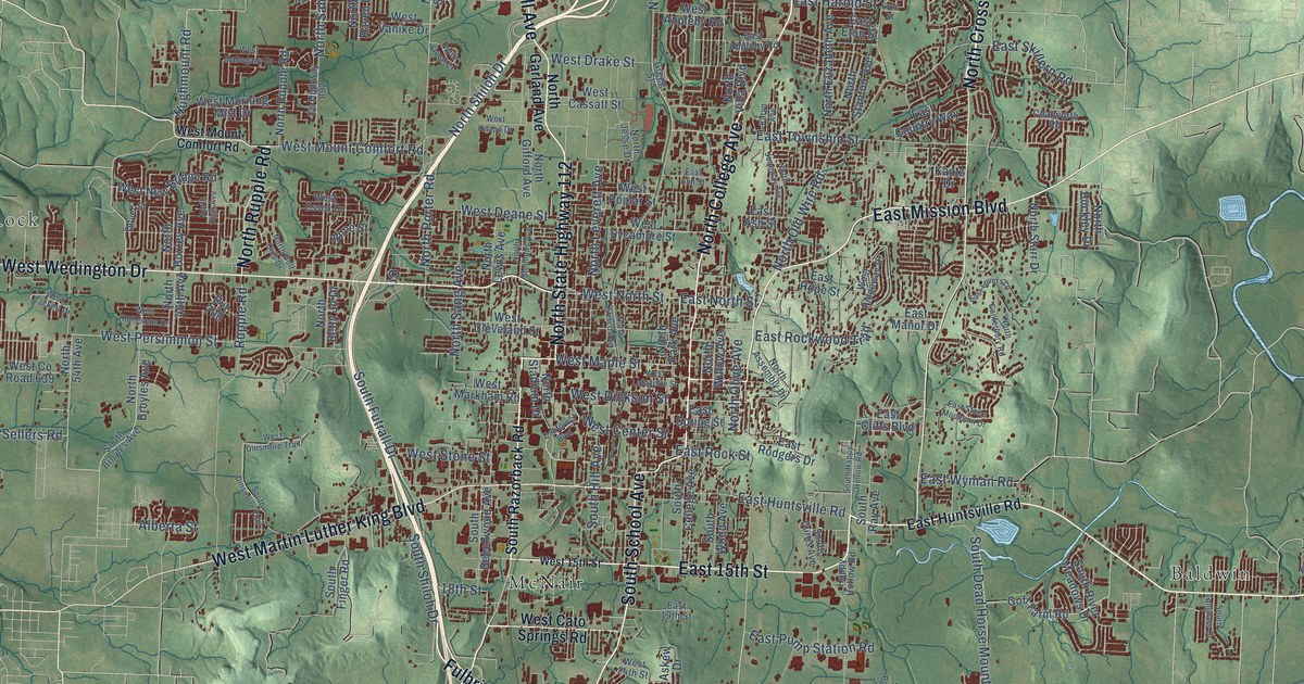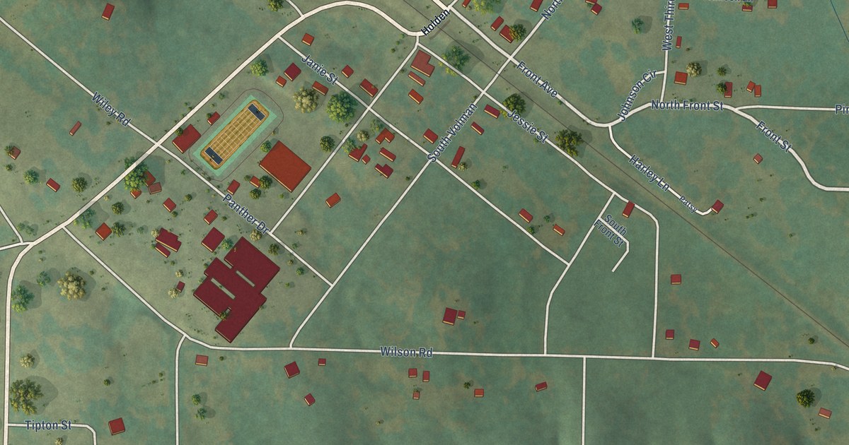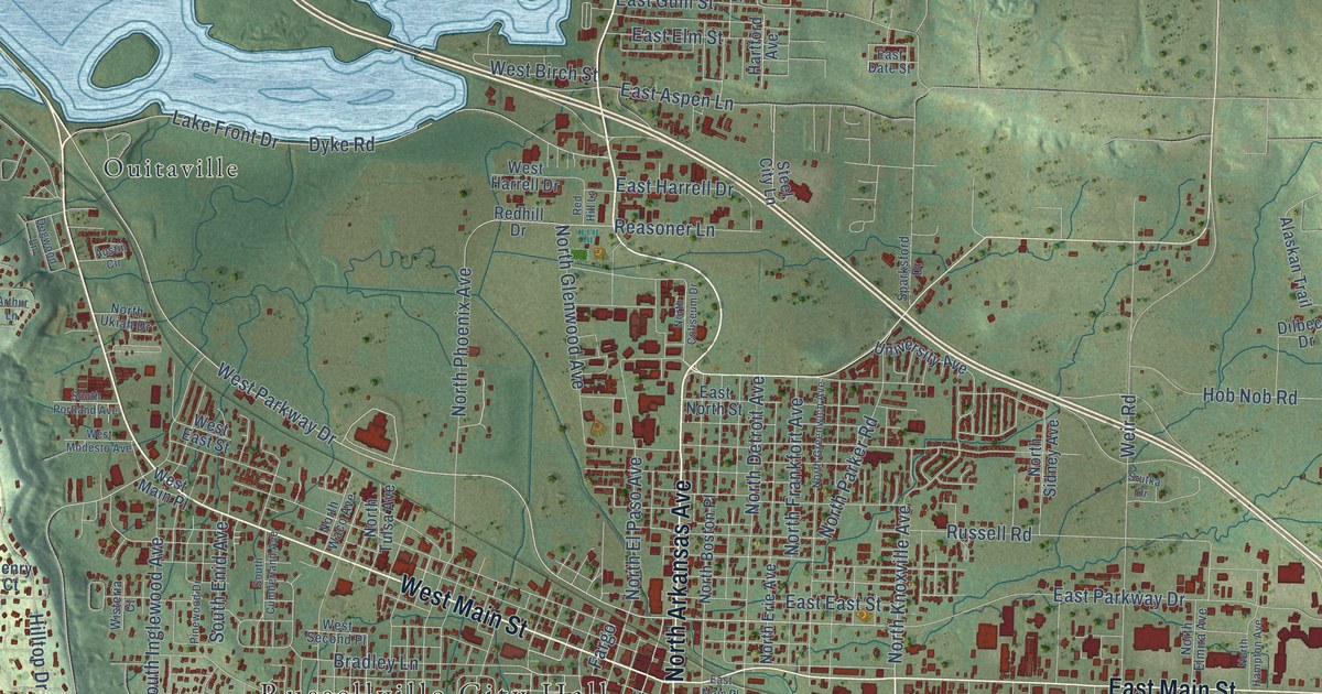
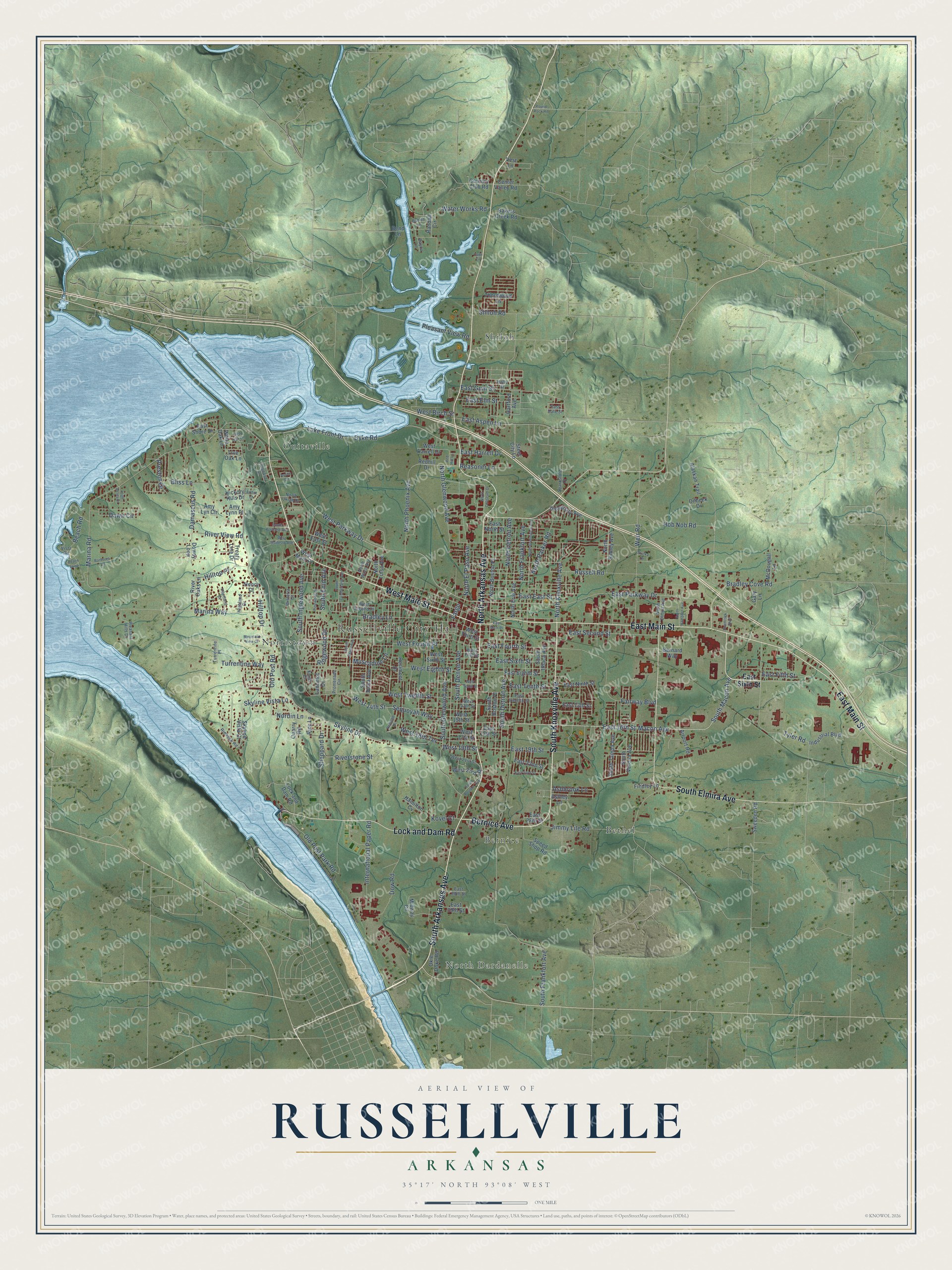
This beautifully detailed map of Russellville, Arkansas was created in 2026 using aerial imagery combined with modern topographical, census, street and landmark data. It's a modern aerial view of Russellville in Pope County, Arkansas, that combines modern data with a vintage aesthetic. The roads feature printed names, and if you look closely you can find your exact house accurately shown in its correct location.
Explore an aerial view of Russellville, Arkansas
On this map you'll find Russellville City Hall, North Dardanelle, Bernice, Bethel, Norristown, Ouitaville, Shiloh, North Arkansas Avenue, South Arkansas Avenue, West Main Street, South Knoxville Avenue, East Main Street, and more. Each red shape is a building, so zoom in on the preview and look for yours.
Russellville has a story worth telling. The Encyclopedia of Arkansas puts it this way: "P. C. Holledger was the first white settler to the valley, then known as Chactas Prairie, and built a house there in 1834. The next year, Holledger sold his log home to Dr. Thomas Russell, who had just arrived, along with others, from Illinois."
Russellville is a city in Pope County.
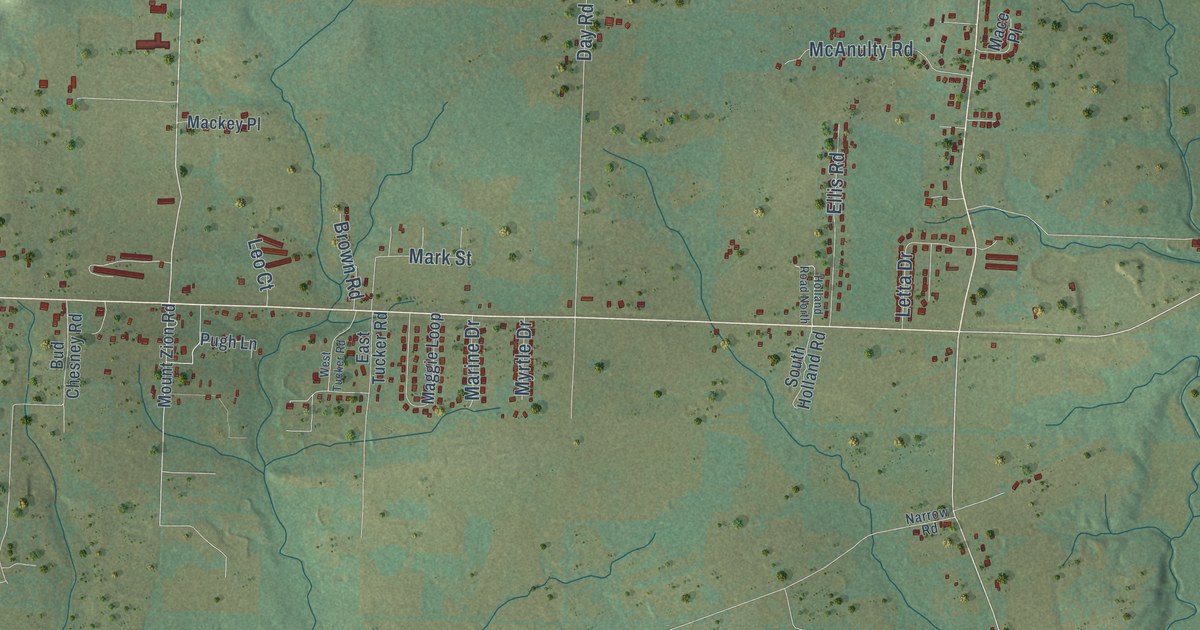
Take a closer look at the Russellville map
Names on this map
These names are printed on this map.
Places: Russellville City Hall, North Dardanelle, Bernice, Bethel, Norristown, Ouitaville and Shiloh.
Streets and roads: North Arkansas Avenue, South Arkansas Avenue, West Main Street, South Knoxville Avenue, East Main Street, Bernice Avenue, South Elmira Avenue, Lock and Dam Road, West Parkway Drive, East 16th Street, East Sixth Street, North Knoxville Avenue.
More street names, A to Z
Airport Road, Alaskan Trail, Amy Lyn Circle, Amy Lynn Place, Arthur Lane, Ashbrook Lane, Ashley Lane, Austin Circle, Bakers Creek Road, Barborek Lane, Bayou Lane, Beach Loop, Beach Road, Bend Lane, Bernard Way, Bliss Lane, Bradley Cove Road, Bradley Lane, Butler Lane, Center Valley Road, Country Club Road, Damascus Road, Dawn Circle, Dilbeck Drive, Dogwood Lane, Dowdy Loop, Dow Road, Dyke Road, East 13th Street, East 17th Street, East 19th Street, East 22nd Street, East 23rd Street, East 28th Street, East 38th Street, East 39th Street, East Aspen Lane, East Date Street, East East Street, East Eighth Street, East Elm Street, East Fifth Street, East Fourth Street, East Gum Street, East Harrell Drive, East Main Place, East Ninth Street, East North Street, East Parkway Drive, East Second Street, East Shore Drive, East Tenth Street, East Twelfth Street, Fairway Boulevard, Faith Lane, Fargo, Findley Lane, Gary Lane, Hamilton Cv, Hartford Avenue, Heartland Drive, Henry Court, Hickory Hills Drive, High Acres Drive, Highland Drive, Hilltop Drive, Hilltop Place, Hob Nob Road, Holly Street, Industrial Boulevard, International Paper Road, Jimmy Lile Road, Kings Court, Kovel Court, Lake Front Drive, Lancelot Drive, Live Oak Lane, Macon Avenue, Marina Road, Marina Way, McDougall Lane, Midway Circle, Mountain View Court, Muscadine Lane, Neptune Drive, Nordin Lane, North Boston Place, North Coliseum Drive, North Detroit Avenue, North Elmira Avenue, North El Paso Avenue, North Erie Avenue, North Frankfort Avenue, North Glenwood Avenue, North Greenwich Avenue, North Hampton Avenue, North Parker Road, North Phoenix Avenue, North Sidney Avenue, North Tulsa Avenue, North Ukiah Drive, North Waco Avenue, Okie Doke Road, Old Post Park Road, Old Post Road, Pinewood Drive, Pleasant Hills Drive, Pleasant View Road, Preston Drive, Promenade Circle, Quarry Road, Randall Circle, Reasoner Lane, Redhill Drive, Red Hill Lane, Red Oak Lane, Resimont Drive, Rice Lane, Ridgewood Drive, Rimrock Road, River Oaks Lane, Riverstone Street, River View Road, Round Rock Road, Russell Road, Sequoyah Way, Shamrock Boulevard, Sheppard Drive, Shiloh Road, Skyline Drive, Skyline Vista Court, Skyline Vista Lane, South Boston Place, South Boulder Avenue, South Cumberland Avenue, South Denver Avenue, South Detroit Avenue, South Enid Avenue, South Frankfort Avenue, South Glenwood Avenue, South Inglewood Avenue, South Ithaca Avenue, South Macon Avenue, South Portland Avenue, South Tampa Avenue, South Tulsa Avenue, South Verona Avenue, South Waco Avenue, Sparksford Drive, Speed Shop Road, Srutka Drive, Steel City Lane, Sweeden Road, Thornwood Lane, Treaty Line Drive, Turrentine Place, Turrentine Way, Tyler Road, University Avenue, Vest Lane, Vista Road, Water Works Road, Weir Road, West 13th Street, West 14th Street, West 15th Street, West 17th Street, West 18th Terrace, West 19th Street, West 21st Street, West 23rd Street, West Birch Street, West East Street, West Eighth Street, West Fifth Street, West Fourth Place, West Harrell Drive, West Main Place, West Modesto Avenue, West Second Place, West Sixth Street, West Tenth Street, West Third Street, West Twelfth Street, White Oak Lane, Wisteria Court.
Created by KNOWOL in 2026. The buildings are small red shapes, the roads carry their printed names, and shaded relief shows the shape of the land. The title panel reads "AERIAL VIEW OF RUSSELLVILLE ARKANSAS" with 35°17' NORTH 93°08' WEST.
It looks right in a kitchen, an office or a den, and it's a gift for anyone who grew up in Russellville or moved away. Open the preview and find your street. See sizes and frames for the Russellville map.