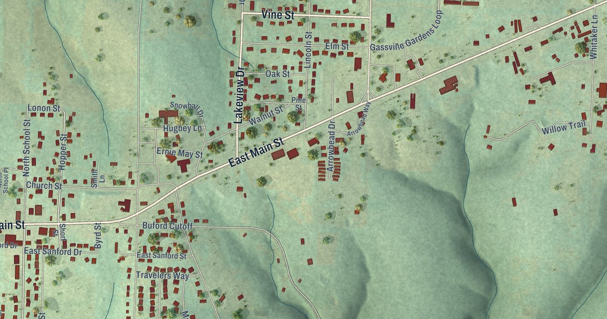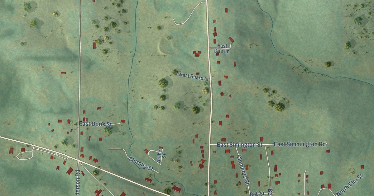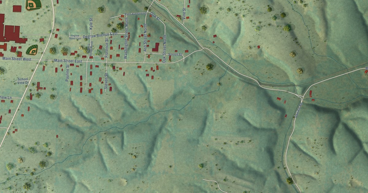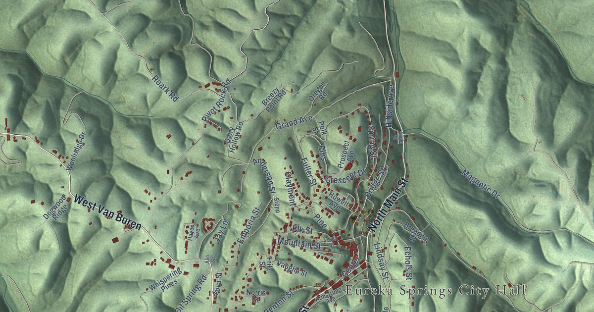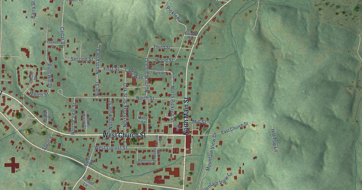
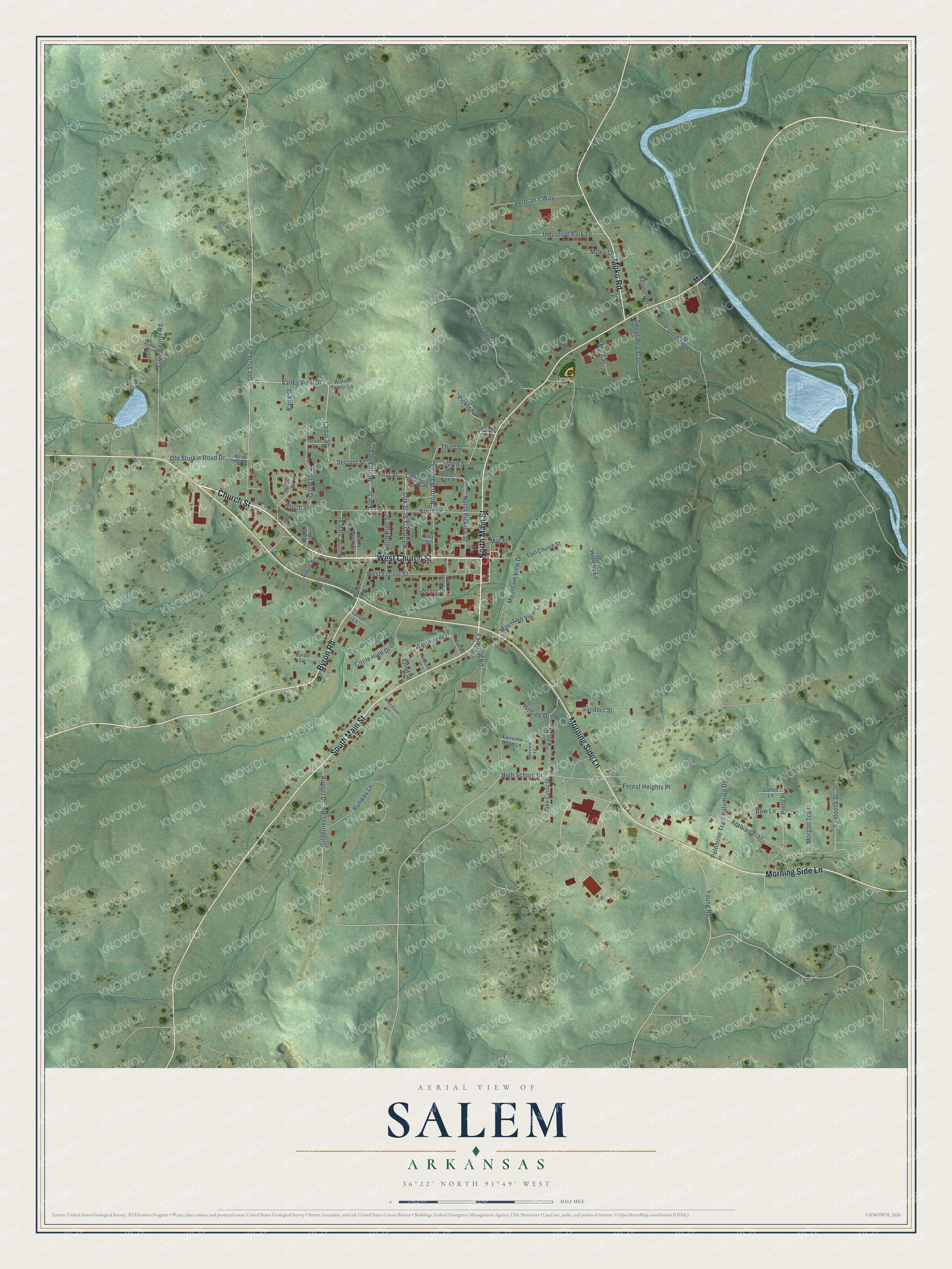
This beautifully detailed map of Salem, Arkansas was created in 2026 using aerial imagery combined with modern topographical, census, street and landmark data. It's a modern aerial view of Salem in Fulton County, Arkansas, that combines modern data with a vintage aesthetic. The roads feature printed names, and if you look closely you can find your exact house accurately shown in its correct location.
Explore an aerial view of Salem, Arkansas
On this map you'll find West Church Street, Church Street, Morning Side Lane, North Main Street, South Main Street, Moko Road, Byron Road, Valley View Drive, Old Sturkie Road, Cedar Street, North Cedar Street, First Street, and more. Each red shape is a building, so zoom in on the preview and look for yours.
Salem has a story worth telling. The Encyclopedia of Arkansas puts it this way: "The town name was changed from Pilot Hill to Salem on February 20, 1872. The town was known as Salem long before that, but the name’s origin is unknown."
Salem is a city in Fulton County.
Take a closer look at the Salem map
Names on this map
These names are printed on this map.
Streets and roads: West Church Street, Church Street, Morning Side Lane, North Main Street, South Main Street, Moko Road, Byron Road, Valley View Drive, Old Sturkie Road, Cedar Street, North Cedar Street, First Street.
More street names, A to Z
Airport Drive, Apaloosa Street, Arabian Trail, Arena Lane, Barry Street, Bennett Drive, Benton Drive, Bow Lane, Box Wood Street, Byron Lane, Cantrell Street, Circle Drive, Circle High Drive, Civic Center Road, East Church Street, Elliot Street, Elm Street, Fairview Lane, Fairview Road, Fairview Road Lane, Forest Heights Place, Fourth Street, High School Drive, Hillside Drive, Hill Top Lane, Industrial Park Lane, Ken Drive, Lady Way, Lake Circle Drive, Lance Lane, Main Street, Mill Street, Mize Street, Moko Lane, Morgan Trail, Mountain View Drive, Mountain View Lane, North Birch Street, North Elm Street, North Oak Street, North Pickren Street, North Pine Street, North Street, North Walnut Street, Oak Street, Old Sturkie Road Drive, Palomino Drive, Palomino Trail, Pickren, Pickren Street, Pilot Hill Drive, Pinto Place, Poplar Place, Roberts Street, Ross Lane, Runway Lane, Sanders Street, Second Street, Shalom Park Drive, Short Street, Spruce, Sweet Pea Trail, Third Street, Tower, Tower Street, Troy Street, Tucker Street, Turner Lane, Veteran's Way, Water Tower Lane, Watters Street, Welch Street, West Locust Street, West Ridge Drive, Wilderness Road, Woodlawn Lane, Woodside Drive, Wood Street, Young Road.
Created by KNOWOL in 2026. The buildings are small red shapes, the roads carry their printed names, and shaded relief shows the shape of the land. The title panel reads "AERIAL VIEW OF SALEM ARKANSAS" with 36°22' NORTH 91°49' WEST.
It looks right in a kitchen, an office or a den, and it's a gift for anyone who grew up in Salem or moved away. Open the preview and find your street. See sizes and frames for the Salem map.