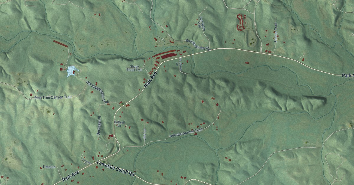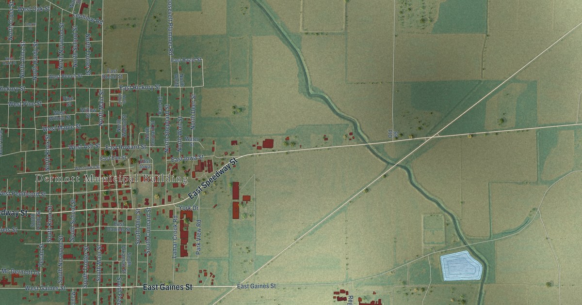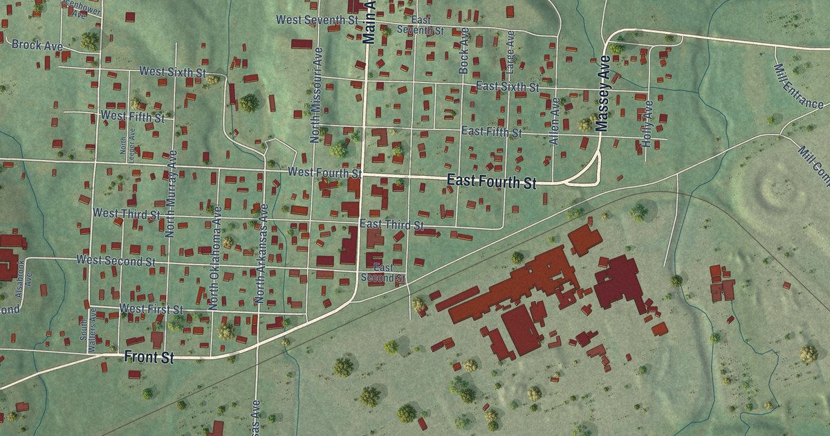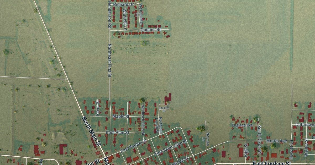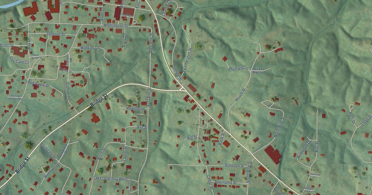
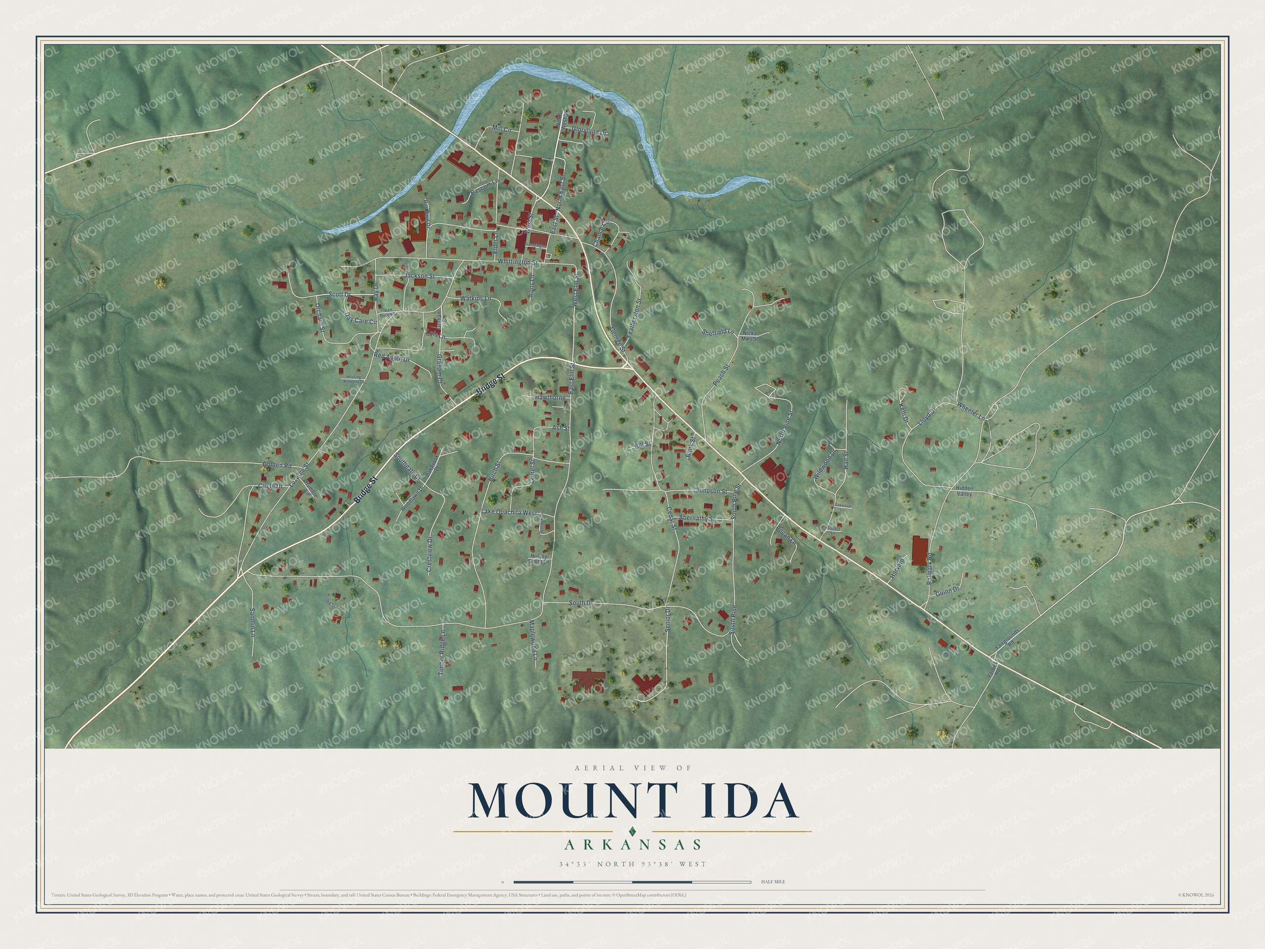
This beautifully detailed map of Mount Ida, Arkansas was created in 2026 using aerial imagery combined with modern topographical, census, street and landmark data. It's a modern aerial view of Mount Ida in Montgomery County, Arkansas, that combines modern data with a vintage aesthetic. The roads feature printed names, and if you look closely you can find your exact house accurately shown in its correct location.
Explore an aerial view of Mount Ida, Arkansas
On this map you'll find Bridge Street, West Street, Graham Court, West Elm Street, Day Care Circle, South Drive, Luzerne Street, Cedar Street, George Street, Birch Street, East Elm Street, Whittington Street, and more. Each red shape is a building, so zoom in on the preview and look for yours.
Mount Ida has a story worth telling. The CALS Encyclopedia of Arkansas puts it this way: "The first post office in the area was established on June 28, 1842, by Granville Whittington and named Mount Ida after a hill near his former home in Massachusetts. For six years, he operated the post office and general store out of his large log home one mile north of the present town square."
Mount Ida is a city in Montgomery County.
Take a closer look at the Mount Ida map
Names on this map
These names are printed on this map.
Streets and roads: Bridge Street, West Street, Graham Court, West Elm Street, Day Care Circle, South Drive, Luzerne Street, Cedar Street, George Street, Birch Street, East Elm Street, Whittington Street.
More street names, A to Z
Abernathy Street, Ash Street, Ballpark Road, Bank Street, Bascom Lane, Bill Street, Bus Barn Drive, Chance Circle, Circle Drive, Crestview Drive, East Street, Elder Lane, Fairgrounds Road, Featherston Street, Forbes Road, Gilbert Lane, Gloryland Drive, Golden Road, Graham Street, Guinn Drive, Hall Street, Harvard, Hawthorne, Hidden Valley, Housing Authority Drive, Hulsey Smith Lane, Humble Lane, Irons Lane, Jackson Street, Kelli Drive, Lake Ouachita West, Laurel Street, Lloyd Drive, Lois Lane, Maplewood Lane, Mill Circle, Nicka Moo Street, North East Street, North Pine Street, North West Street, Oakbrook Drive, Oakwood Lane, Orchard Street, Peach Street, Pecan Lane, Ray Drive, Red Apple Drive, Sandlin Lane, Scott Drive, Scurlock Drive, Senior Drive, Sheffield Lane, Simpson Street, Southgate Drive, South Pine, South Pine Street, Standridge Lane, Timber Ridge Lane, Van Buren Street, Watkins Lane, Wheeler Lane, Wildwood Drive, Willow Drive, Woodlawn Drive.
Created by KNOWOL in 2026. The buildings are small red shapes, the roads carry their printed names, and shaded relief shows the shape of the land. The title panel reads "AERIAL VIEW OF MOUNT IDA ARKANSAS" with 34°33' NORTH 93°38' WEST.
It looks right in a kitchen, an office or a den, and it's a gift for anyone who grew up in Mount Ida or moved away. Open the preview and find your street. See sizes and frames for the Mount Ida map.