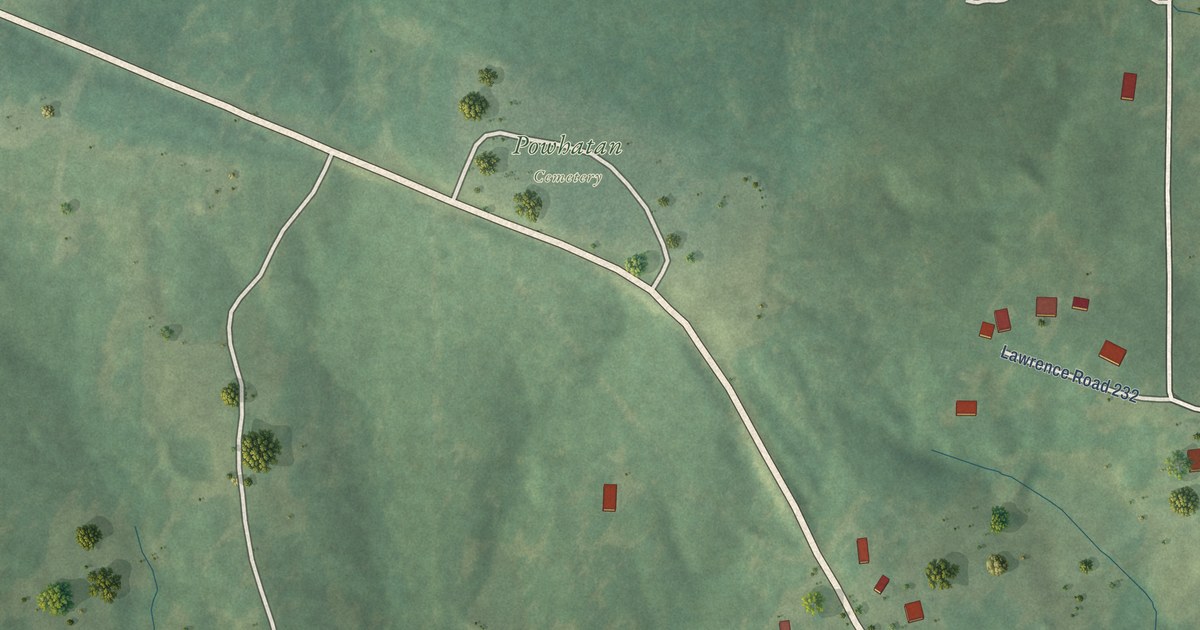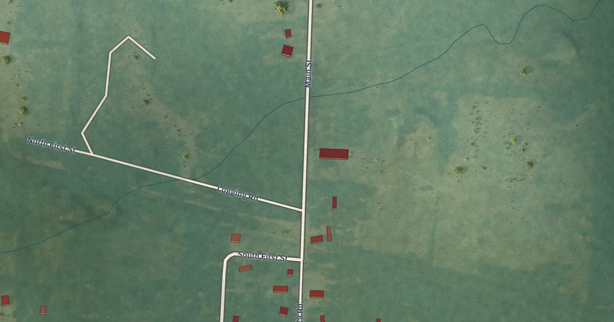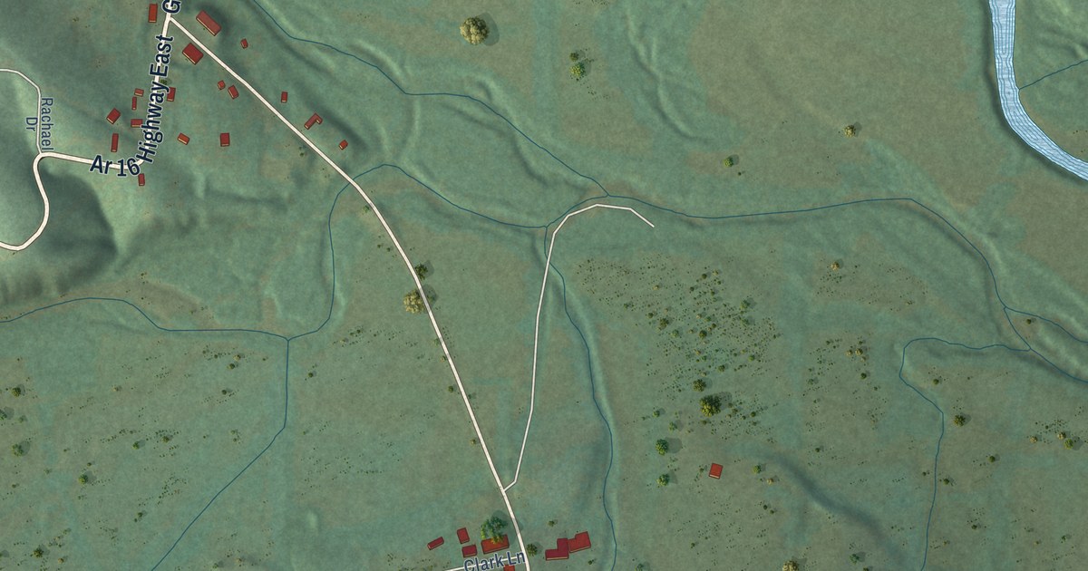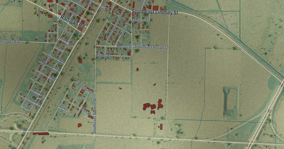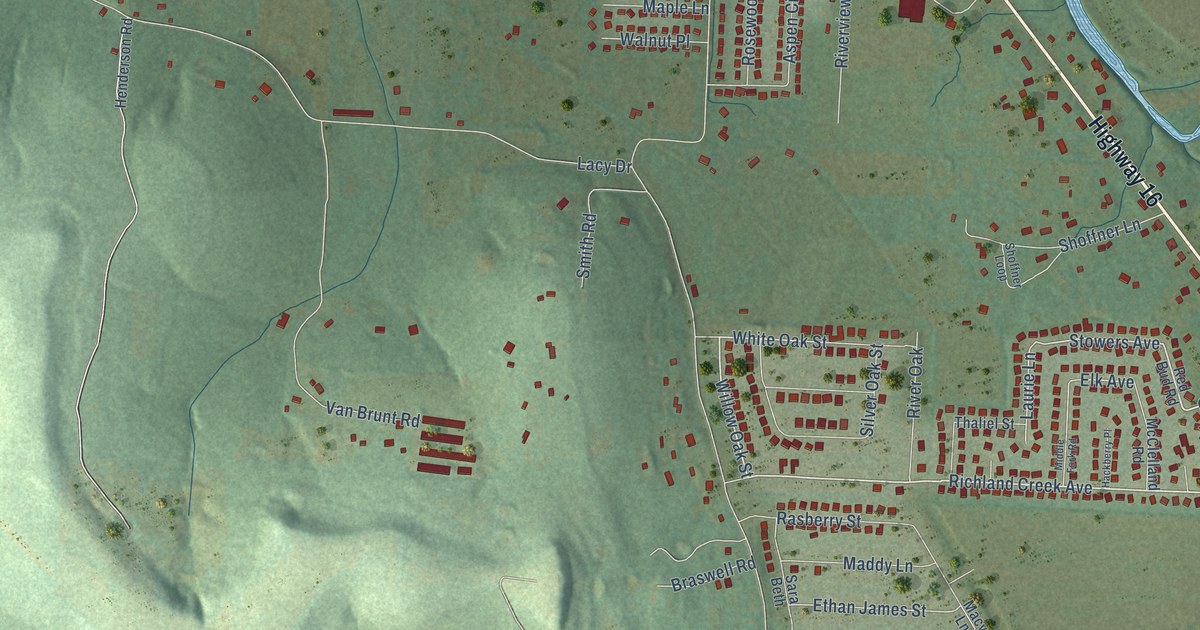
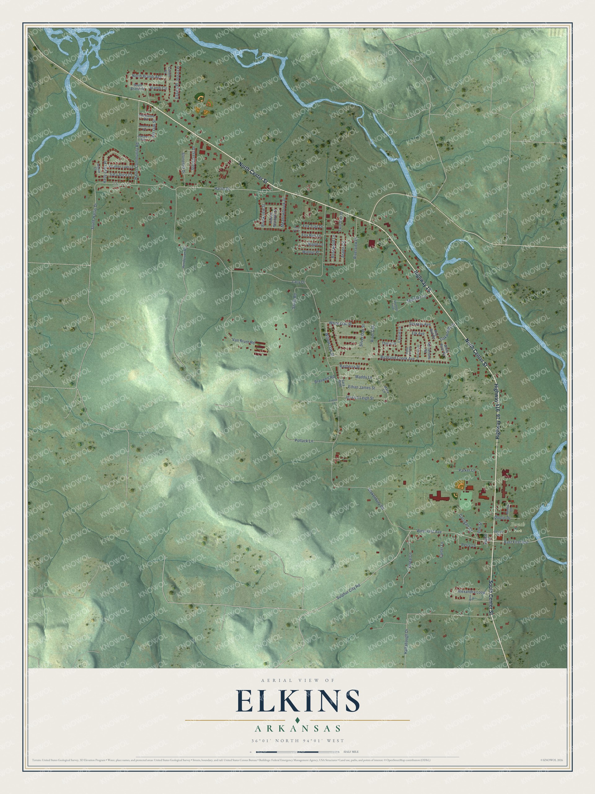
This beautifully detailed map of Elkins, Arkansas was created in 2026 using aerial imagery combined with modern topographical, census, street and landmark data. It's a modern aerial view of Elkins in Washington County, Arkansas, that combines modern data with a vintage aesthetic. The roads feature printed names, and if you look closely you can find your exact house accurately shown in its correct location.
Explore an aerial view of Elkins, Arkansas
On this map you'll find Harris, Bunch Park, North Center Street, South Center Street, Highway 16, Highway 416, Sulphur City Road, West First Avenue, Richland Creek Avenue, Willow Oak Street, Stowers Avenue, Laurie Lane, and more. Each red shape is a building, so zoom in on the preview and look for yours.
Elkins has a story worth telling. The CALS Encyclopedia of Arkansas puts it this way: "In 1888, John Sword became the first postmaster in the Harris community; the Harris post office operated from 1888 to 1957. The post office in Hood opened in 1885. Hood later changed its name, becoming Elkins in 1892."
Elkins is a city in Washington County.
Take a closer look at the Elkins map
Names on this map
These names are printed on this map.
Places: Harris and Bunch Park.
Streets and roads: North Center Street, South Center Street, Highway 16, Highway 416, Sulphur City Road, West First Avenue, Richland Creek Avenue, Willow Oak Street, Stowers Avenue, Laurie Lane, White Oak Street, Ethan James Street.
More street names, A to Z
Alexandra Loop, Anna Drive, Aspen Circle, Brandi Circle, Braswell Road, Brookview Street, Bunch Lane, Carrigan Road, Carter Lane, Church Street, Colten Cv, Cottonwood Avenue, Doolin Drive, East First Avenue, Elk Avenue, Elm Street, Essica Place, Fox Run Lane, Fox Trail Drive, Friend Lane, Greenbriar Avenue, Hackberry Place, Harris Community Road, Harris Drive, Hattabaugh Drive, Heather Lynn Lane, Henderson Road, Hidden Meadows Street, Jessica Leigh Street, Jessica Place, Jessie Court, Kelly Lynn Place, Lacy Drive, Macy Lane, Maddy Lane, Maple Lane, McClelland Road, Meadowbrook Drive, Middle Fork Road, North Brandi Avenue, Oaklawn Avenue, Oakwoods Drive, Oneal Lane, Parker Lane, Perry Lane, Pin Oak Street, Pollack Lane, Rasberry Street, Red Bud Road, Red Fox Court, River Oak, Riverview Drive, Rosewood Lane, Sara Alice Court, Sara Beth, Shoffner Lane, Shoffner Loop, Silver Oak Street, Smith Road, South Brandi Drive, South Harris Drive, Stokenbury Road, Stonecrest Drive, Stonemill Drive, Thaliel Street, Twin Oaks Drive, Van Brunt Road, Walker Street, Walnut Place, White River Road.
Created by KNOWOL in 2026. The buildings are small red shapes, the roads carry their printed names, and shaded relief shows the shape of the land. The title panel reads "AERIAL VIEW OF ELKINS ARKANSAS" with 36°01' NORTH 94°01' WEST.
It looks right in a kitchen, an office or a den, and it's a gift for anyone who grew up in Elkins or moved away. Open the preview and find your street. See sizes and frames for the Elkins map.