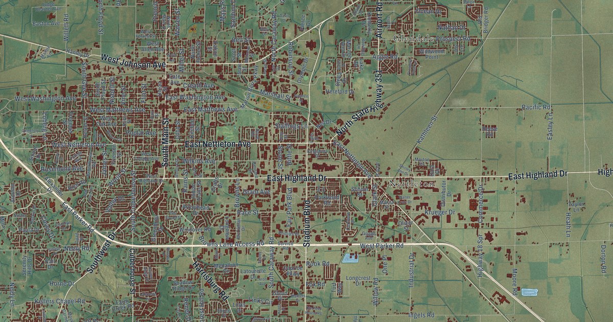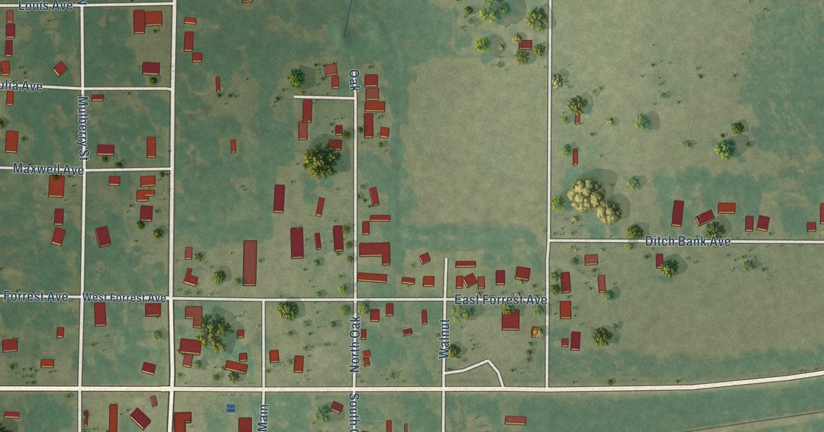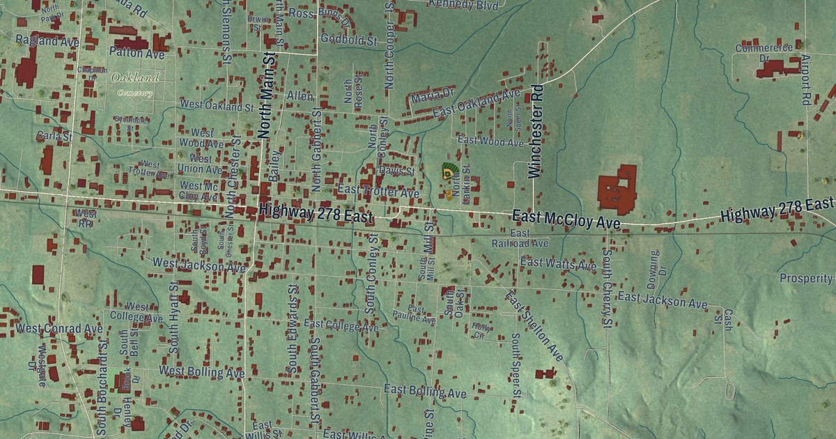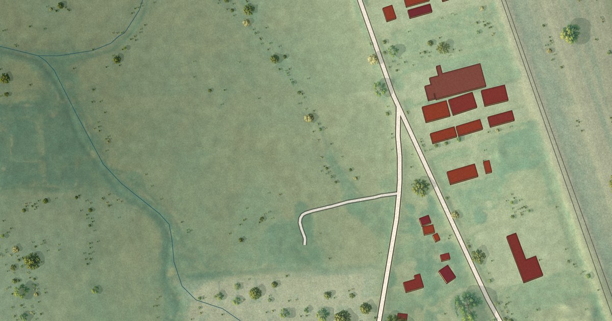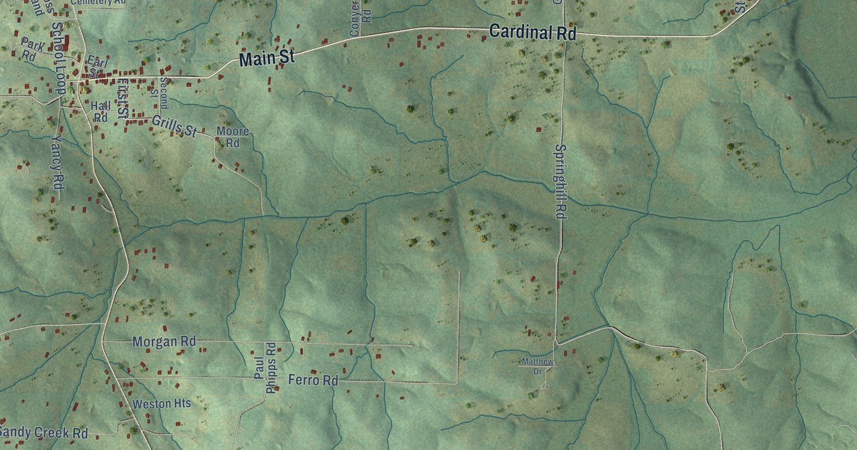
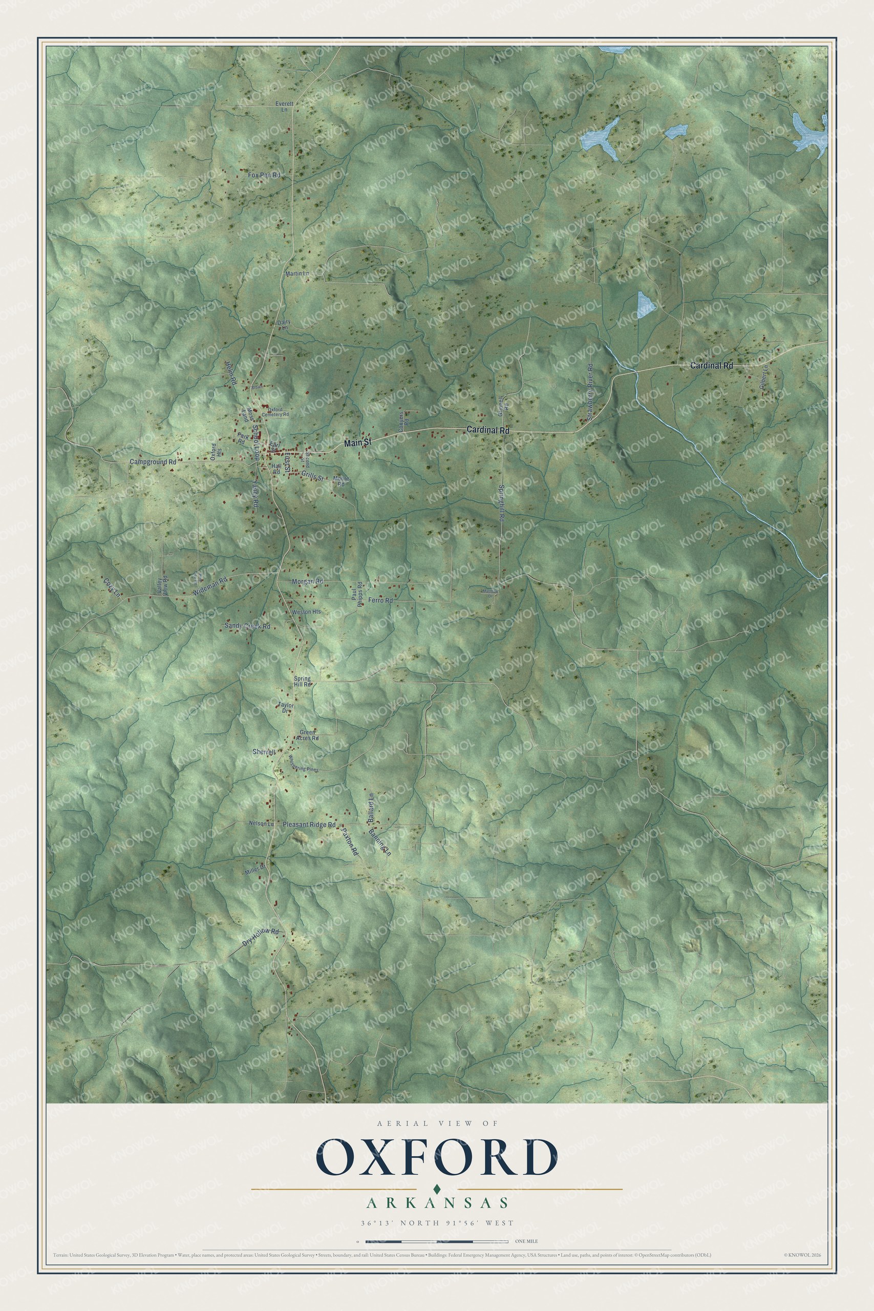
This beautifully detailed map of Oxford, Arkansas was created in 2026 using aerial imagery combined with modern topographical, census, street and landmark data. It's a modern aerial view of Oxford in Izard County, Arkansas, that combines modern data with a vintage aesthetic. The roads feature printed names, and if you look closely you can find your exact house accurately shown in its correct location.
Explore an aerial view of Oxford, Arkansas
On this map you'll find Cardinal Road, Main Street, Grills Street, Campground Road, Pleasant Ridge Road, Springhill Road, Wideman Road, Morgan Road, Ferro Road, Sandy Creek Road, Fox Pen Road, Strawberry River Road, and more. Each red shape is a building, so zoom in on the preview and look for yours.
Oxford has a story worth telling. The Encyclopedia of Arkansas puts it this way: "When a post office was established in the settlement in 1878, the name Crooms Mill was selected. Four years later, postmaster Emory Pearson renamed the post office Oxford after his hometown of Oxford, Mississippi."
Oxford is a city in Izard County.
Take a closer look at the Oxford map
Names on this map
These names are printed on this map.
Streets and roads: Cardinal Road, Main Street, Grills Street, Campground Road, Pleasant Ridge Road, Springhill Road, Wideman Road, Morgan Road, Ferro Road, Sandy Creek Road, Fox Pen Road, Strawberry River Road.
More street names, A to Z
Ballard Lane, Banning Lane, Brown, Conyers Road, Cozy Lane, Dairy Lane, Dry Hollow Road, Earl Street, Everett Lane, First Street, Gilbert Lane, Green Acres Road, Grinnell Road, Hall Road, Helm Road, Martin Lane, Matthew Drive, Miller Drive, Moore Road, Moss Land, Nelson Lane, Oxford Cemetery Road, Oxford Heights, Park Road, Paul Phipps Road, Paxton Road, Pine Tree Road, School Loop, Second Street, Sherrell, Spring Hill Road, Taylor Drive, Valley View Road, Weston Heights, Whispering Pines, Yancy Road.
Created by KNOWOL in 2026. The buildings are small red shapes, the roads carry their printed names, and shaded relief shows the shape of the land. The title panel reads "AERIAL VIEW OF OXFORD ARKANSAS" with 36°13' NORTH 91°56' WEST.
It looks right in a kitchen, an office or a den, and it's a gift for anyone who grew up in Oxford or moved away. Open the preview and find your street. See sizes and frames for the Oxford map.