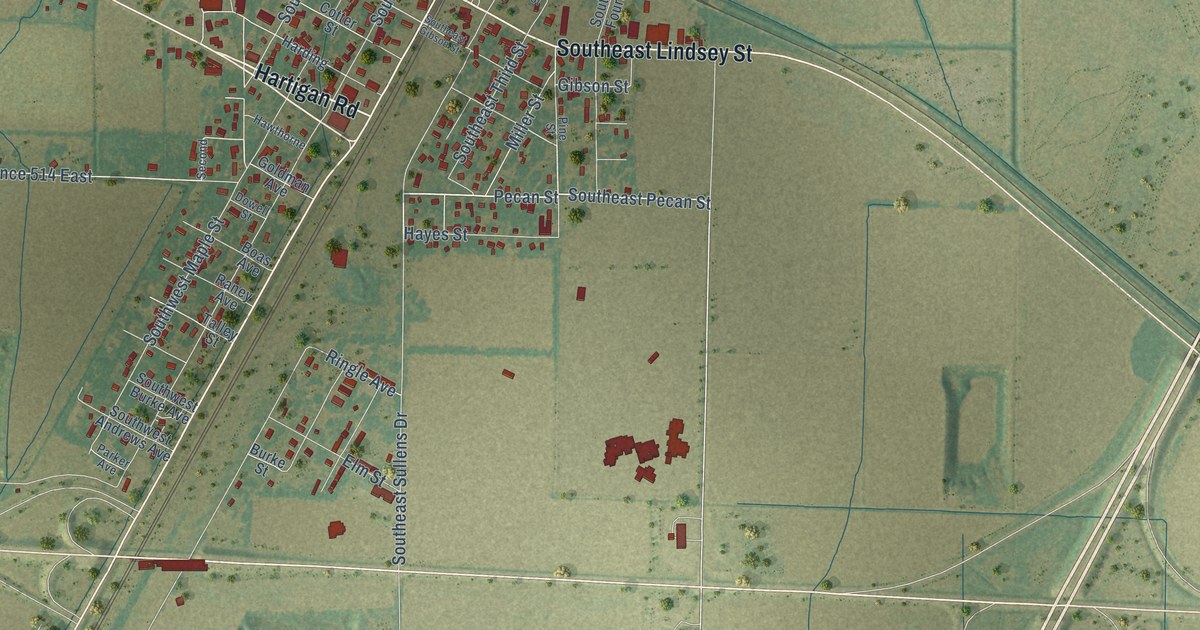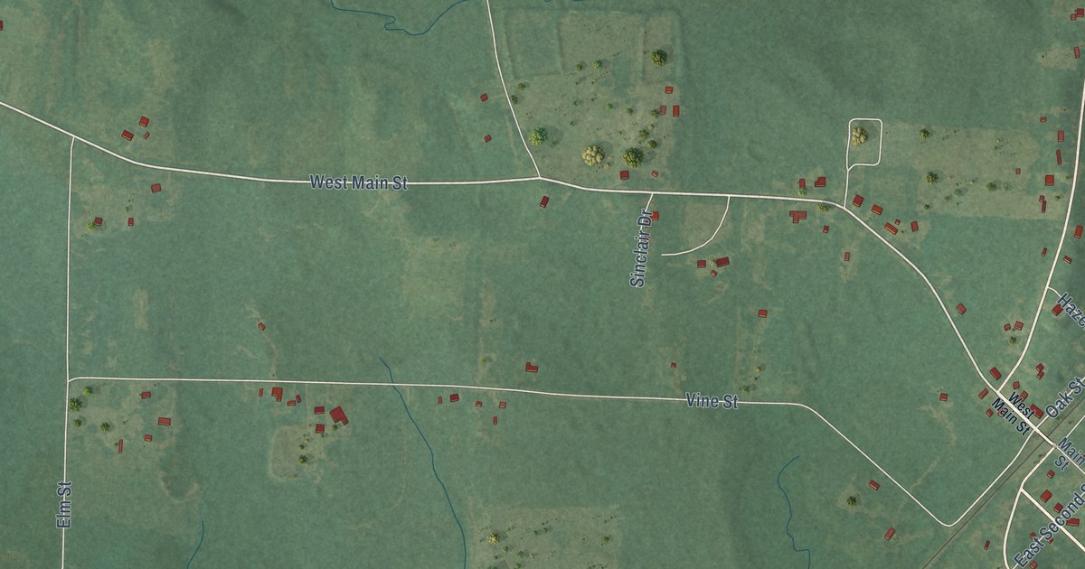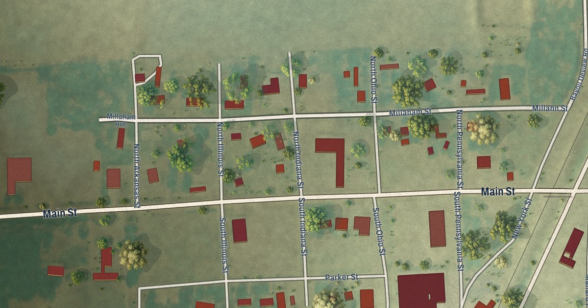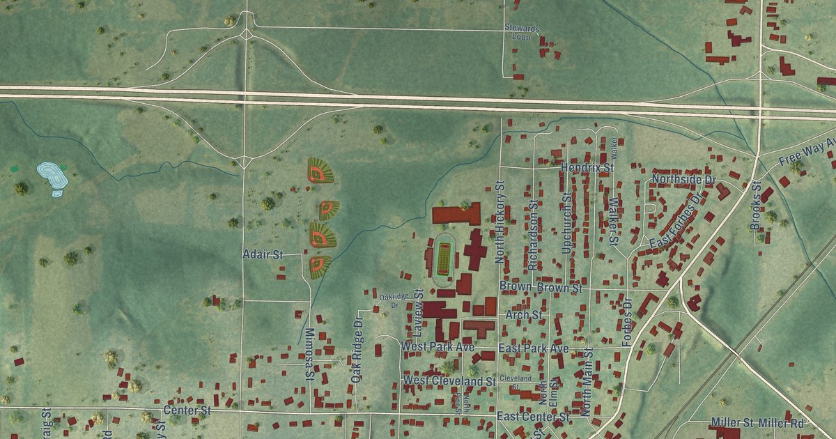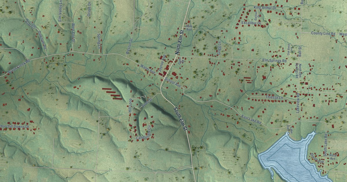
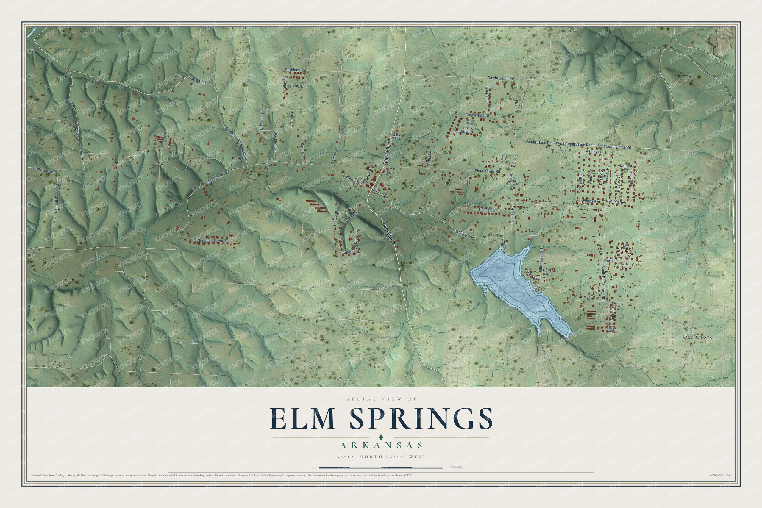
This beautifully detailed map of Elm Springs, Arkansas was created in 2026 using aerial imagery combined with modern topographical, census, street and landmark data. It's a modern aerial view of Elm Springs in Washington County, Arkansas, that combines modern data with a vintage aesthetic. The roads feature printed names, and if you look closely you can find your exact house accurately shown in its correct location.
Explore an aerial view of Elm Springs, Arkansas
On this map you'll find Oak Grove, North Elm Street, South Elm Street, South Lake Road, Ball Road, East Lake Road, School Avenue, South Elm Springs Road, Elm Springs Road, Water Avenue, Carrie Smith Road, Downum Road, and more. Each red shape is a building, so zoom in on the preview and look for yours.
Here is a piece of Elm Springs history, in the words of the record. The CALS Encyclopedia of Arkansas puts it this way: "A grove of large elm trees and natural springs strong enough to power a mill inspired the name Elm Springs. Thomas McClain (or McLain) is said to have homesteaded in the area as early as 1831, but his name does not appear on land records."
Elm Springs is a city in Washington County.
Take a closer look at the Elm Springs map
Names on this map
These names are printed on this map.
Places: Oak Grove.
Streets and roads: North Elm Street, South Elm Street, South Lake Road, Ball Road, East Lake Road, School Avenue, South Elm Springs Road, Elm Springs Road, Water Avenue, Carrie Smith Road, Downum Road, East County Line Road.
More street names, A to Z
Ashley Lane, Ball Street, Biltmore Boulevard, Brush Creek Road, Burks Lane, Candlelight Circle, Caribou Lane, Churchill Downs Drive, County Line Road, Cynthia Avenue, Deer Lane, Dixon Avenue, Doe Drive, Edinburgh Loop, Elk Drive, Elm Valley Lane, Excalibur Drive, Fawn Drive, Fredonia Street, Galihad Drive, Grigg Lane, Gum Street, Hale Avenue, Hill Loop, Jayroe Avenue, Kenneth Price Road, King Arthur Drive, Lake Dam Cv, Lakeview Road, Lancelot Drive, Lott Road, Marchant Road, Melinda Avenue, Niagara Street, North Elm Springs Road, Oak Bend Loop, Ohara Lane, Oriole Drive, Pinkley Road, Quail Run, Rhett Avenue, Ross Avenue, Scarlett Boulevard, Scott Street, Snavely Road, Spring Lane, Tally Gate Road, Thiesse Lane, Valley Lane, Wa County Road 943, Wc938, West County Line Road, West End Street, Weston Street, Whipporwill Lane, Wilkes Avenue.
Created by KNOWOL in 2026. The buildings are small red shapes, the roads carry their printed names, and shaded relief shows the shape of the land. The title panel reads "AERIAL VIEW OF ELM SPRINGS ARKANSAS" with 36°12' NORTH 94°14' WEST.
It suits a den, a classroom or a front hall, and it makes a gift for anyone with Elm Springs roots. Open the preview and find the block you know. See sizes and frames for the Elm Springs map.