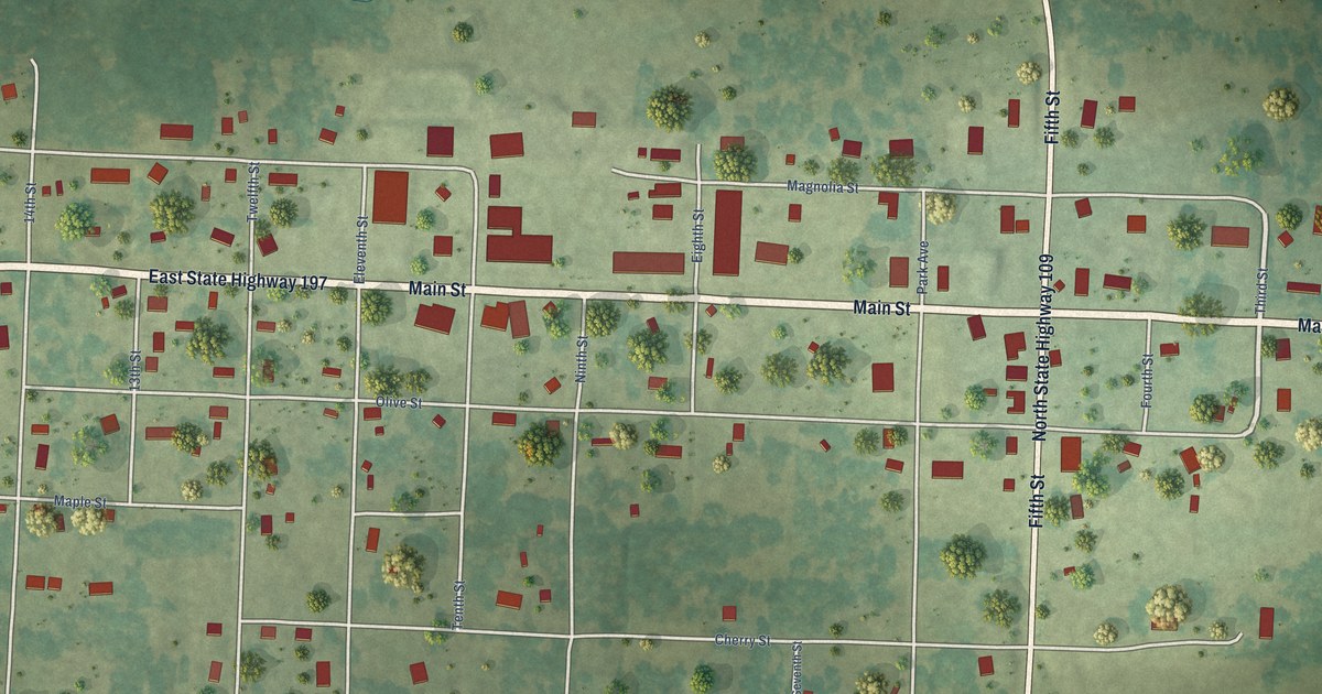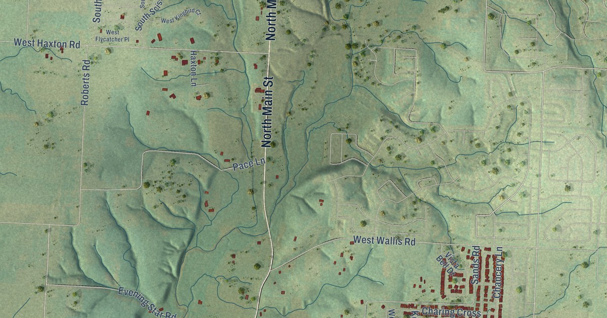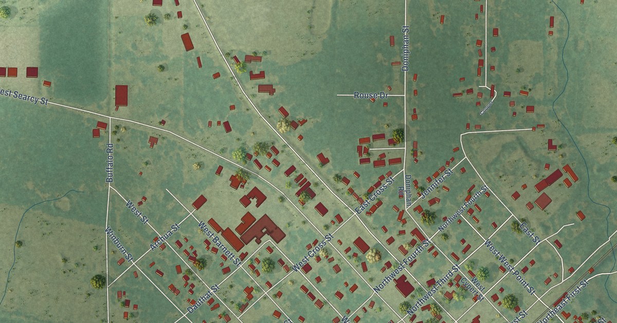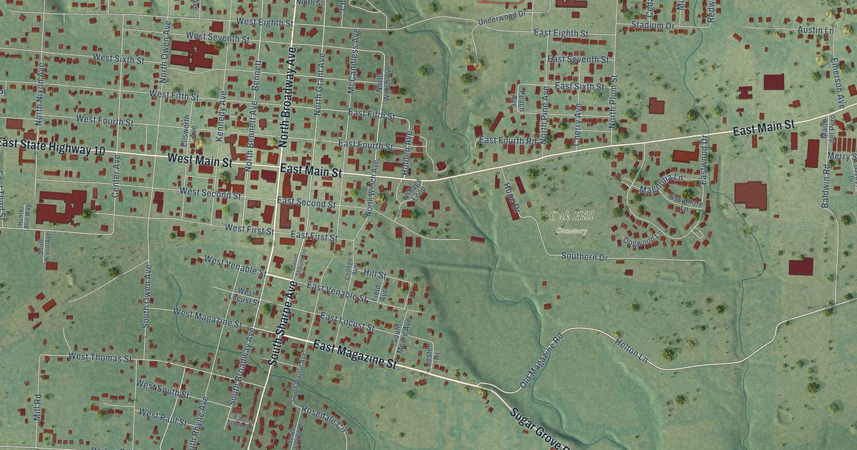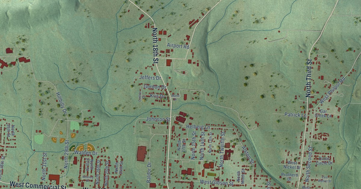
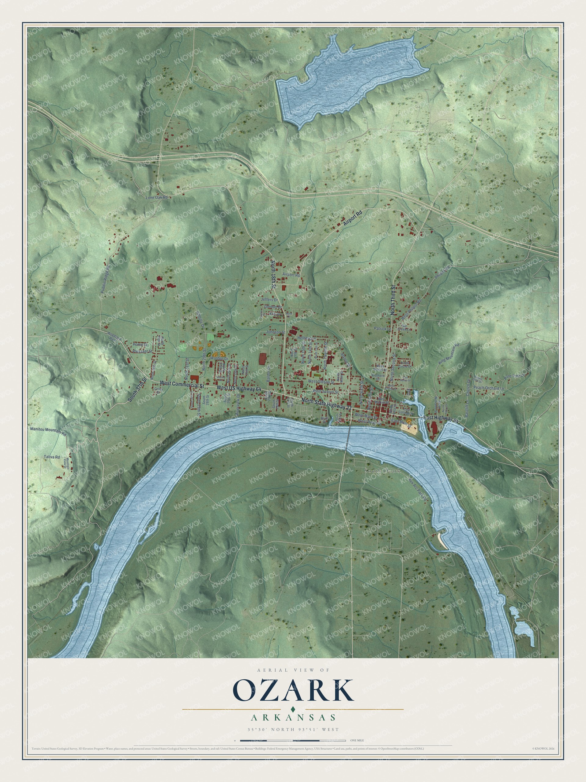
This beautifully detailed map of Ozark, Arkansas was created in 2026 using aerial imagery combined with modern topographical, census, street and landmark data. It's a modern aerial view of Ozark in Franklin County, Arkansas, that combines modern data with a vintage aesthetic. The roads feature printed names, and if you look closely you can find your exact house accurately shown in its correct location.
Explore an aerial view of Ozark, Arkansas
On this map you'll find South Ozark, North State Highway 23, South 37th Street, West Commercial Street, North 18th Street, Airport Road, West US Highway 64, North Third Street, East Highway 64, Taliva Road, North Sixth Street, West Main Street, and more. Each red shape is a building, so zoom in on the preview and look for yours.
Every town has a first chapter, and Ozark is no exception. The Encyclopedia of Arkansas puts it this way: "Ozark’s first post office opened on July 3, 1837, with William Hail, one of the town’s founders, serving briefly as the first postmaster. State officials named Ozark as the Franklin County seat of government in 1837, and the first courthouse was completed in 1840."
Ozark is a city in Franklin County.
Take a closer look at the Ozark map
Names on this map
These names are printed on this map.
Places: South Ozark.
Streets and roads: North State Highway 23, South 37th Street, West Commercial Street, North 18th Street, Airport Road, West US Highway 64, North Third Street, East Highway 64, Taliva Road, North Sixth Street, West Main Street, Helberg Lane.
More street names, A to Z
Alston Street, Angels Glen Drive, Aux Arc Park Road, Baldor Drive, Barcliff Lane, Bluff Drive, Carlton Drive, Church Drive, Cloos Circle Drive, Coley Drive, East College Street, East Main Street, East Walker Street, Gar Creek Lane, Gordon Drive, Hillbilly Drive, Home Street, Jeffers Drive, Johnson Street, King Mountain Road, Kris Drive, Lone Oak Road, Manitou Mountain Road, Marts Drive, Mountain View Drive, North 13th Street, North 14th Street, North 15th Street, North 17th Street, North 24th Street, North 25th Street, North 26th Street, North 27th Street, North 29th Street, North 31st Street, North 35th Street, North 36th Street, North Fifth Street, North First Street, North Ninth Street, North Second Street, North Story Drive, North Twelfth Street, North Williams Street, Oak, Patrick Lane, Peach Orchard Lane, Philpot Road, Pine Tree Lane, Pleasant Street, Prothero Drive, Puddin Ridge Road, Riverview Drive, South 17th Street, South 19th Street, South 20th Street, South 26th Street, South 28th Street, South 29th Street, South 30th Street, South Ninth Street, Walden Drive, West Gibson Street, West Market Street, West Nickel Street, West Philpot Road, West River Street, West School Street, West Spring Street, Whitney Drive, Woodland West.
Created by KNOWOL in 2026. The buildings are small red shapes, the roads carry their printed names, and shaded relief shows the shape of the land. The title panel reads "AERIAL VIEW OF OZARK ARKANSAS" with 35°30' NORTH 93°51' WEST.
Hang it in the hallway, the office or the cabin, or give it to someone who left Ozark and still calls it home. Open the preview and look for a street you know. See sizes and frames for the Ozark map.