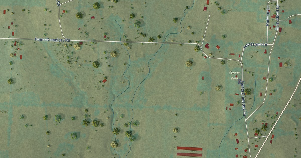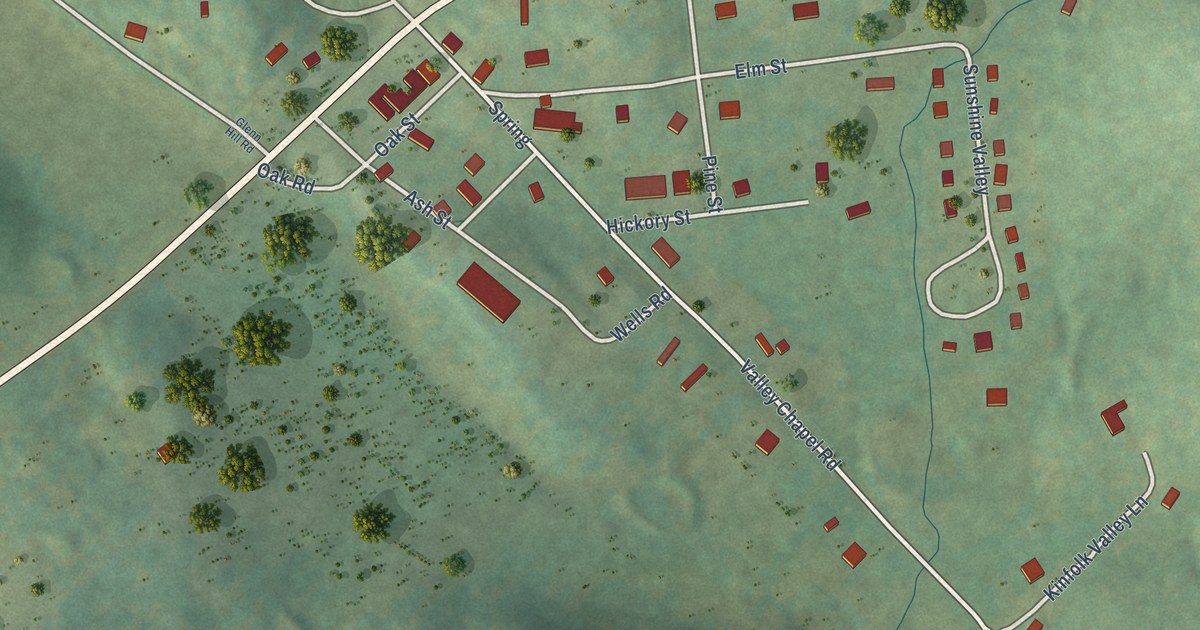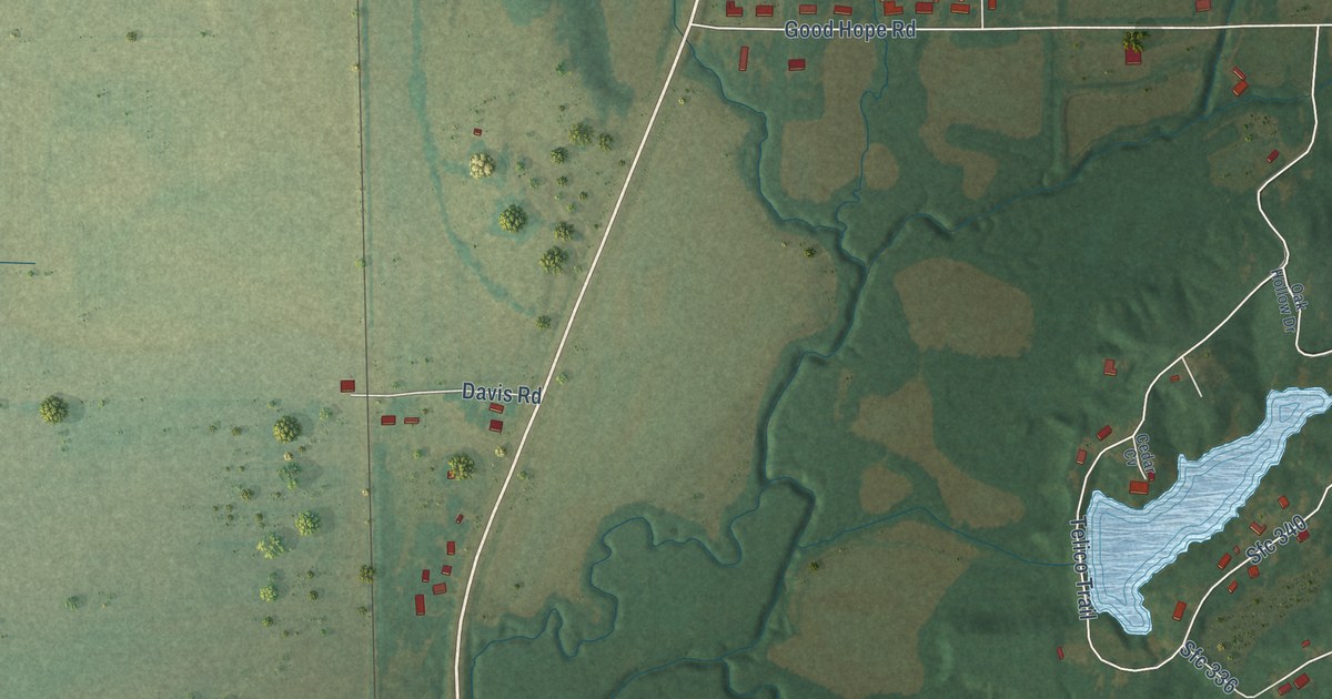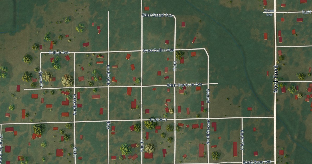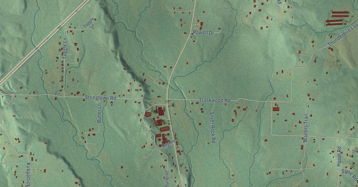
This beautifully detailed map of Glen Rose, Arkansas was created in 2026 using aerial imagery combined with modern topographical, census, street and landmark data. It’s a one-of-a-kind view of Glen Rose that combines accurate data with a vintage aesthetic. The map shows every building in its true location, many of the roads carry their names, and the shaded topographic relief shows the shape of the land.
Explore an aerial view of Glen Rose, Arkansas
On the map you’ll find Kirkpatrick Road, Tuscon Road, Old Military Road, Reyburn Loop, Creek Road, Pryor Road, Holy Ridge Road, Tucson Road, Rayburn Creek Road, Jenkins Lane, Balding Road, Balding Road South, and more. If you look closely you can even find your house accurately drawn in its correct location. Zoom in on the preview to look for yours.
Take a closer look at the Glen Rose map
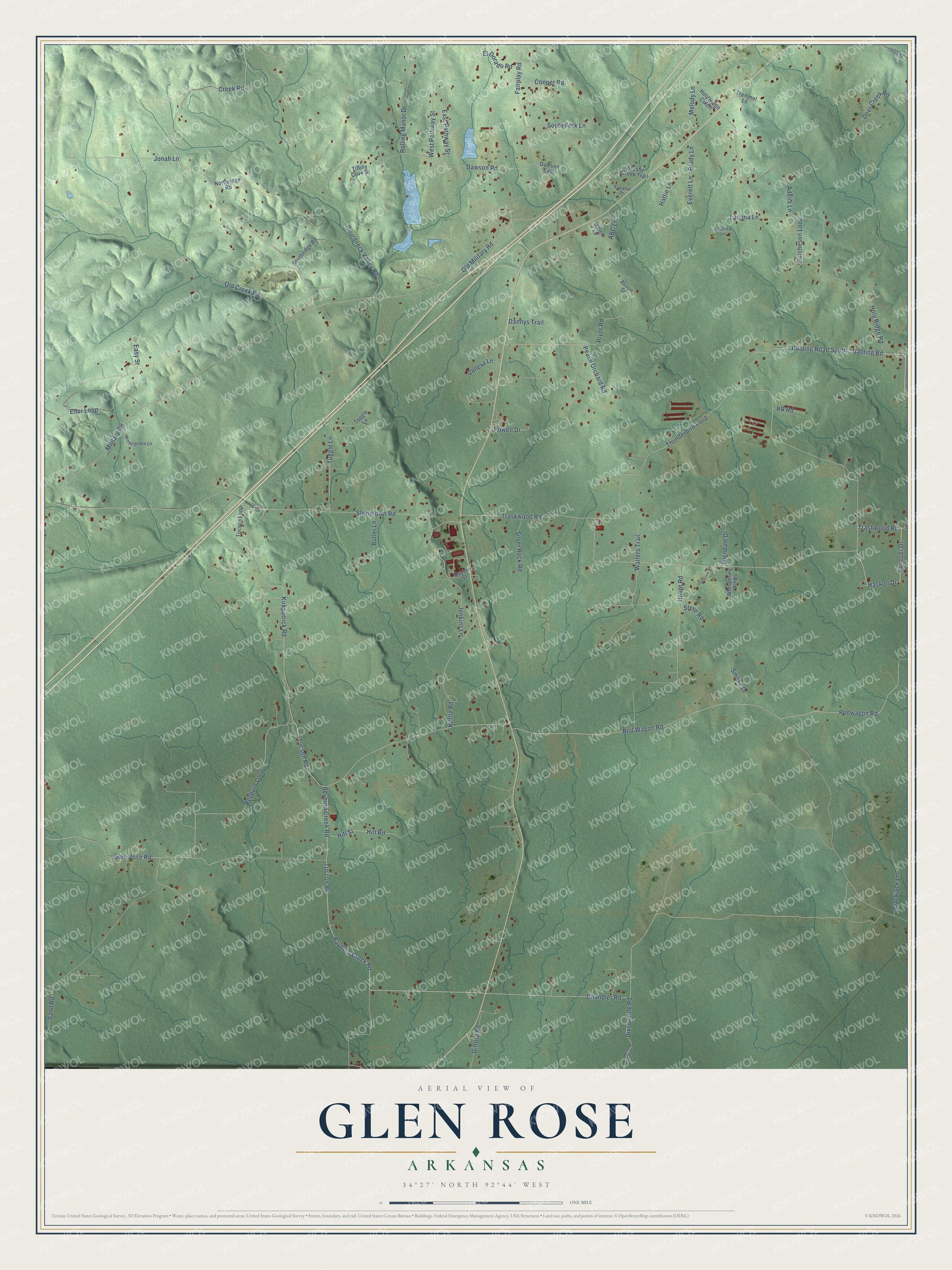
Names on this map
These names are printed on this map.
Streets and roads: Kirkpatrick Road, Tuscon Road, Old Military Road, Reyburn Loop, Creek Road, Pryor Road, Holy Ridge Road, Tucson Road, Rayburn Creek Road, Jenkins Lane, Balding Road, Balding Road South.
More street names, A to Z
ABC Lane, Adelia Lane, Alison Street, Beatrice Lane, Blackjack Lane, Brady Lane, Brushy Creek Trail, Butler Lane, Chandler Road, Cooper Road, Dannys Trail, Dawson East, Dawson Road, Dayton Street, Deer Creek Road, Dixsonville Road, East Pathway Street, Easy Street, Eiler Loop, El Dorado Road, Eskabar Drive, Everett Lane, Fairplay Road, Geneva Lane, Gifford Road, Glendale Drive, Glen Rose Road, Gourdneck Valley Road, Haskell Drive, Hattie Lane, Hill Road, Hill Street, Holy Ridge Cutoff, Houpt Road, Hutcheson Loop, Jonah Lane, Kettle Road, Lakeview Road, Langry Road, Lauana Lane, Melett Lane, Melody Lane, Military Road, New Dixonville Road, Northridge Road, Old Creek Road, Peach Orchard Road, Powell Drive, Red Wagon Road, Redwagon Road, Reyburn Creek Road, Rolling Manor Drive, RR Road, Sand Road, Silver Rock Road, Smoke Drive, South Fork Lane, Southridge Road, Spencer Drive, Steve Road, Stringtown Road, Thunderbird Loop, Tiffiny Cove Drive, Toggle Lane, Trammel Lane, Trashwood Road, Traskwood Road, Tucson Loop, Tuggle Lane, Walters Trail, West Pathway Street, Whispering Winds, Wintergreen Lane.
See it on a wall
The Glen Rose map as a framed print. Swipe for more.


This beautifully detailed map of Glen Rose makes an attractive addition to your office, library, or den, and it can even be used to teach children the geography and history of the area. It also makes a great gift for anyone who grew up in Glen Rose or moved away. When you’re done exploring, click here to get your copy of the Glen Rose map.