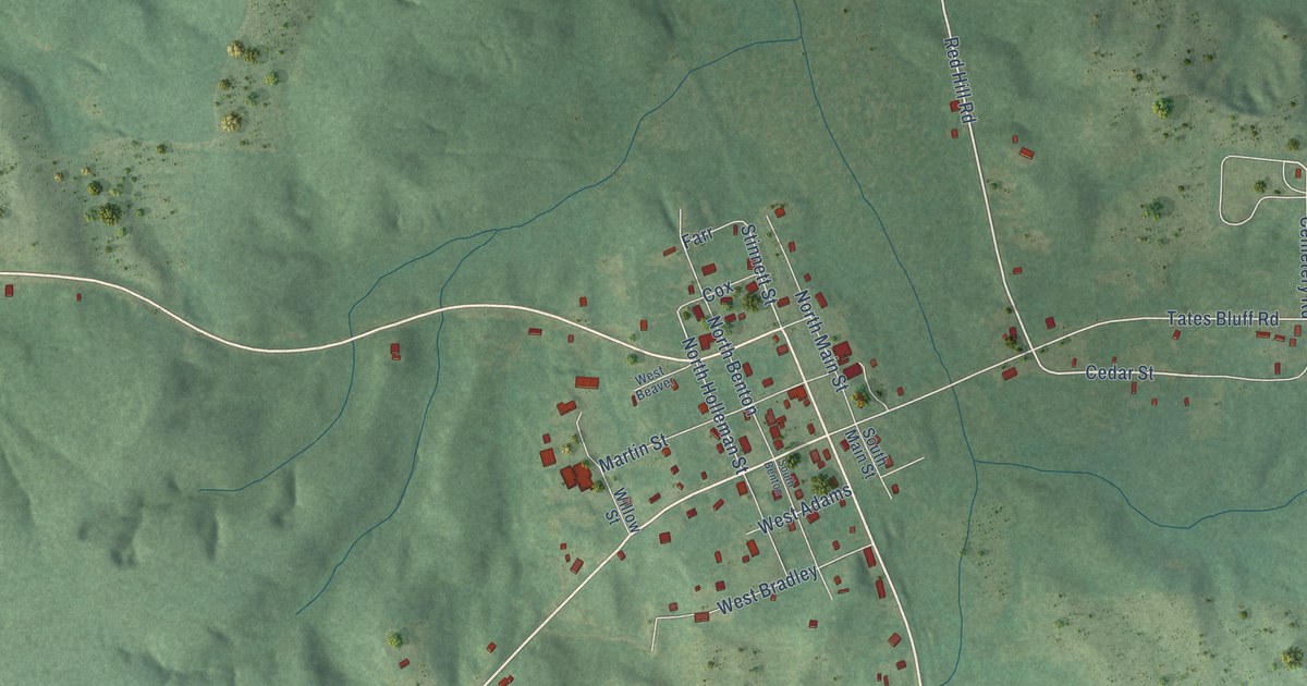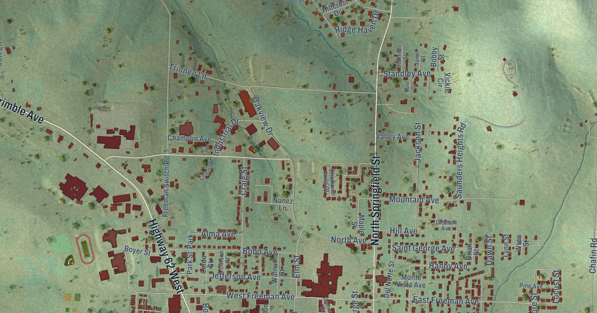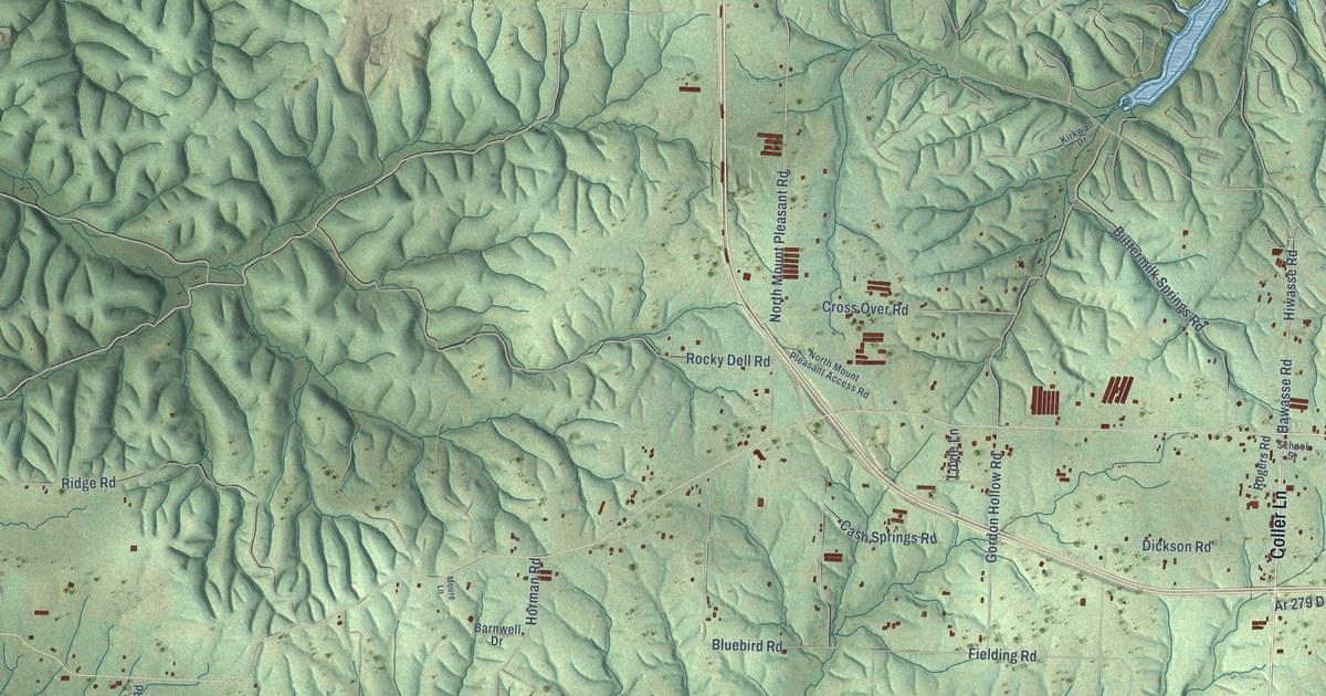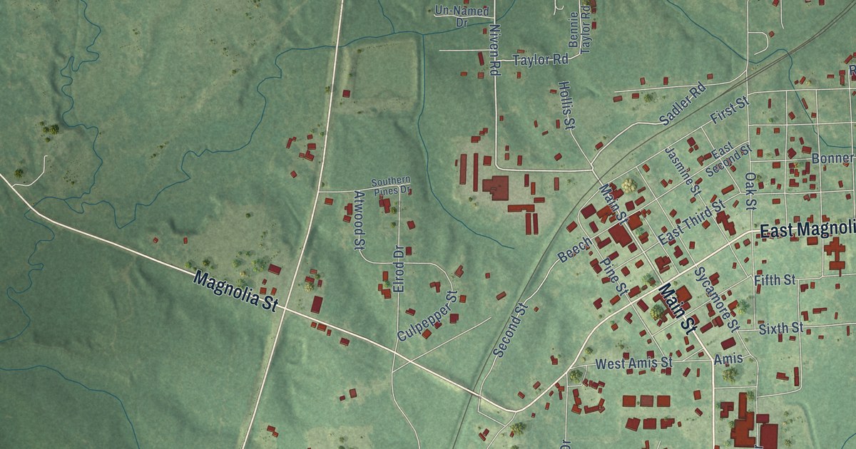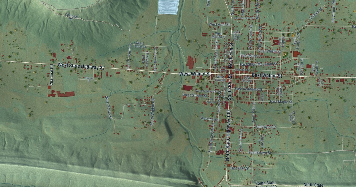
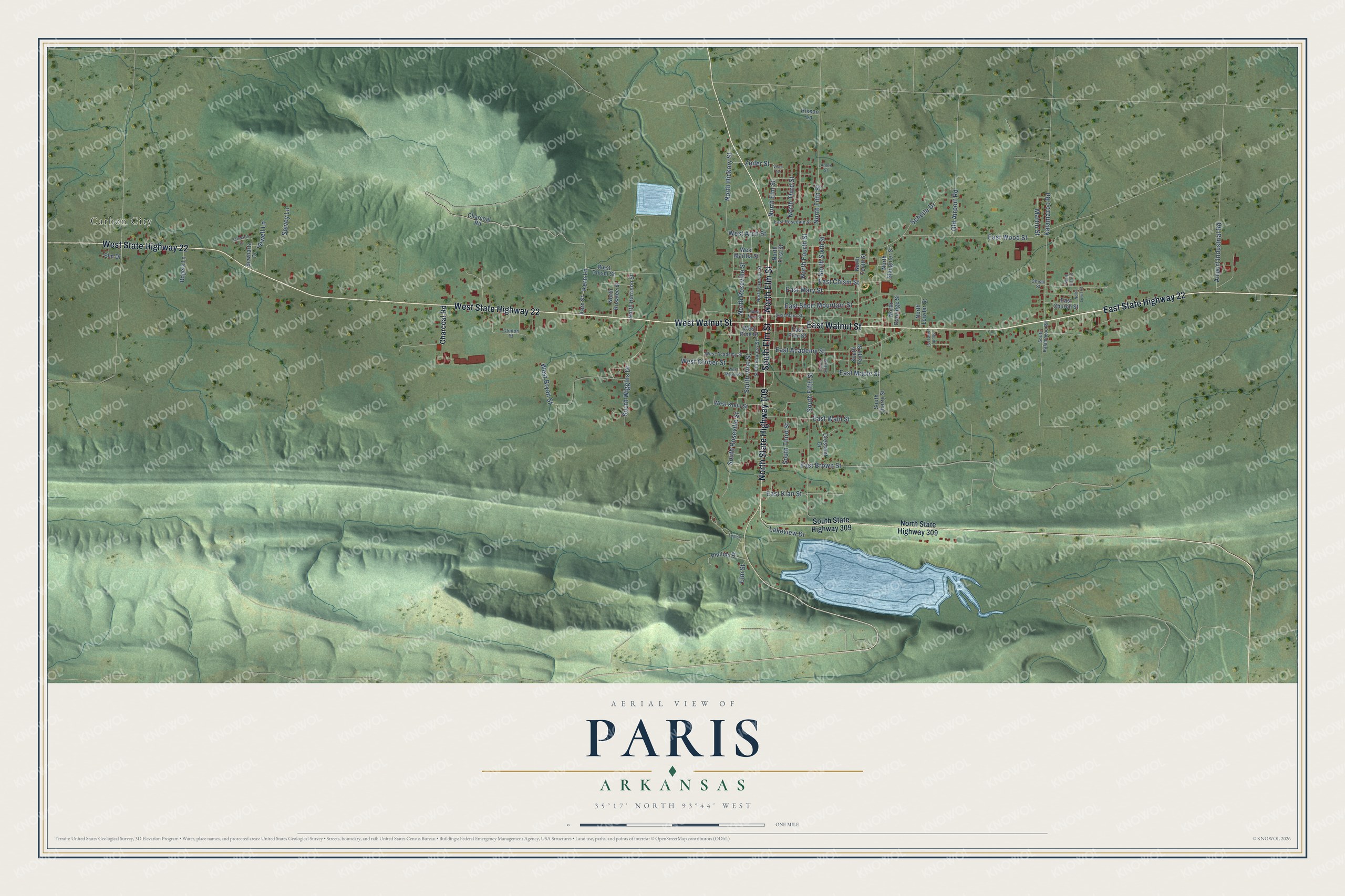
This beautifully detailed map of Paris, Arkansas was created in 2026 using aerial imagery combined with modern topographical, census, street and landmark data. It's a modern aerial view of Paris in Logan County, Arkansas, that combines modern data with a vintage aesthetic. The roads feature printed names, and if you look closely you can find your exact house accurately shown in its correct location.
Explore an aerial view of Paris, Arkansas
On this map you'll find Carbon City, West State Highway 22, West Walnut Street, North Elm Street, East Walnut Street, East State Highway 22, North State Highway 109, South Elm Street, Kern Lane, East Short Mountain Street, East Wood Street, South Fifth Street, and more. Each red shape is a building, so zoom in on the preview and look for yours.
Every town has a first chapter, and Paris is no exception. The Encyclopedia of Arkansas puts it this way: "Voters selected an undeveloped site on Old Military Road in the north-central part of the county. The next step was to choose a name. One of the commissioners admired Paris, France, and suggested that the town be called Paris. The name met with approval, and a small log courthouse was built."
Paris is a city in Logan County.
Take a closer look at the Paris map
Names on this map
These names are printed on this map.
Places: Carbon City.
Streets and roads: West State Highway 22, West Walnut Street, North Elm Street, East Walnut Street, East State Highway 22, North State Highway 109, South Elm Street, Kern Lane, East Short Mountain Street, East Wood Street, South Fifth Street, North Fifth Street.
More street names, A to Z
Airport Industrial Road, Arnett Street, Charcoal Road, Chism Street, Clinton Street, Crescent Drive, East Academy Street, East Brown Street, East Chism Street, East Church Street, East Klan Street, East Main Street, East Maple Street, East Mary Street, East Pine Street, East Rosedale Street, East Wahl Street, Elm Drive, Elm Street, Hixson Lane, Jewell Lane, Kalamazoo Road, Kern Street, Lakeview Drive, Legion, Martin Street, North Carr Street, North Danridge Street, North Express Street, North First Street, North Fourth Street, North Harrison Street, North Hickory Street, North Lewis Street, North Lowder Street, North Rosalee Street, North Roseville Street, North Sixth Street, North Slaughter Street, North State Highway 309, North Tenth Street, North Third Street, Old Airport Road, Phillips Street, Rogers Lane, Scheile Drive, Schwartz Drive, Scwhartz Drive, South Cherry Street, South Express Street, South Kalamazoo Road, South Lowder Street, South Roseville Street, South Sixth Street, South State Highway 309, South Tenth Street, South Third Street, South Vine Street, South Wiggins Drive, Spivey Lane, Vista Terrace, West Academy Street, West Arch Street, West Bryan Street, West Chism Street, West Grober Street, West Klein Street, West Main Street, West Maple Street, West Martha Street, West Pine Street, Zeiler Street.
Created by KNOWOL in 2026. The buildings are small red shapes, the roads carry their printed names, and shaded relief shows the shape of the land. The title panel reads "AERIAL VIEW OF PARIS ARKANSAS" with 35°17' NORTH 93°44' WEST.
Hang it in the hallway, the office or the cabin, or give it to someone who left Paris and still calls it home. Open the preview and look for a street you know. See sizes and frames for the Paris map.